Tagged: water

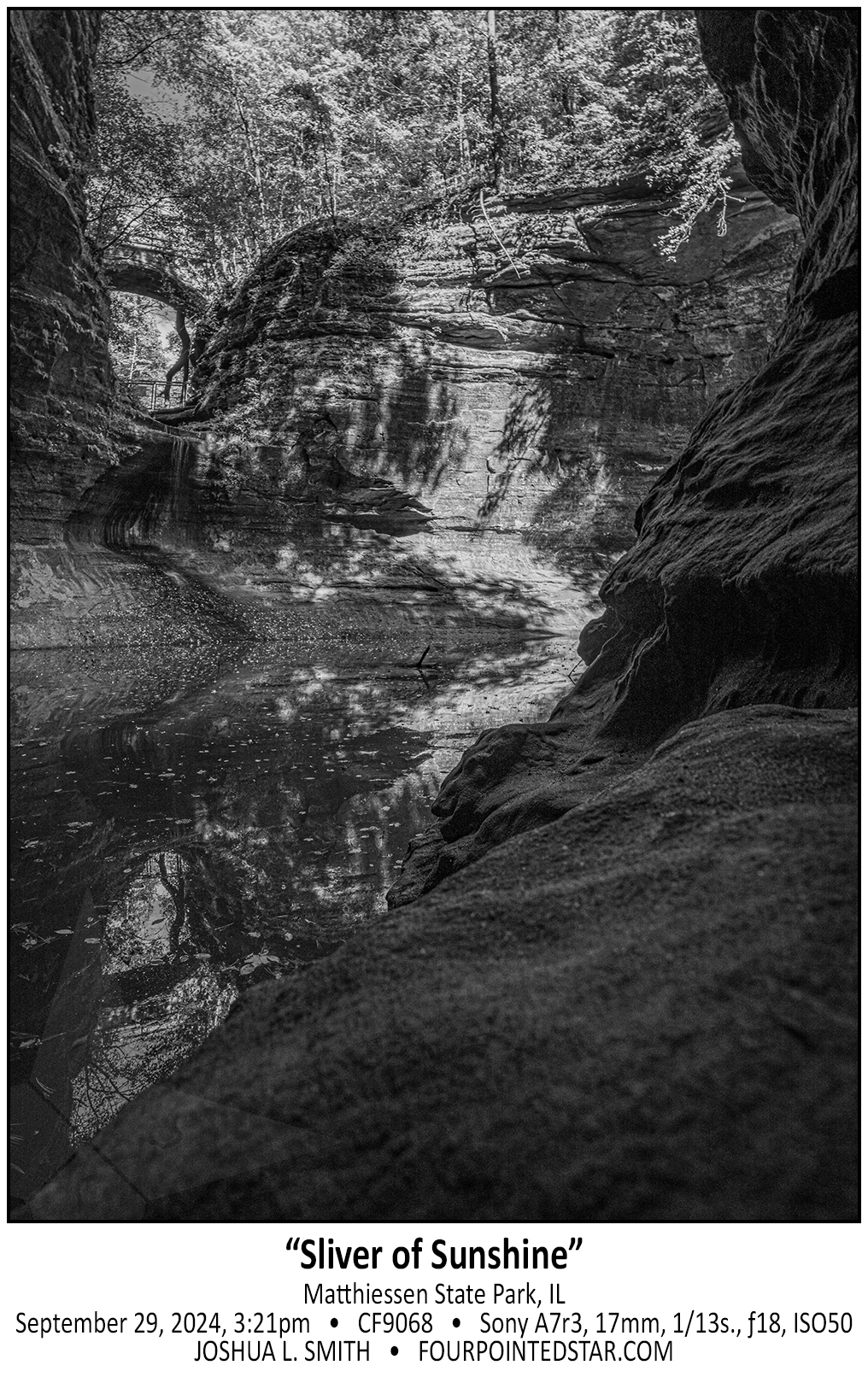
CF9068 240929 152151

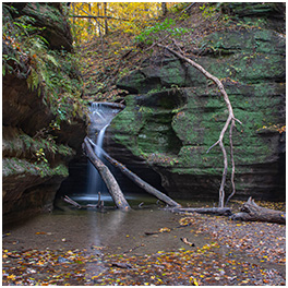
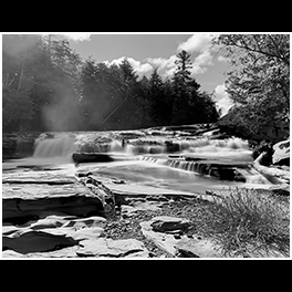
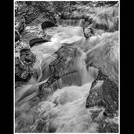
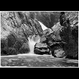
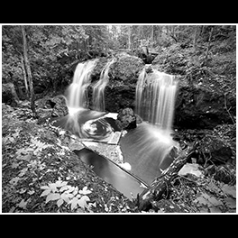
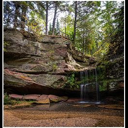
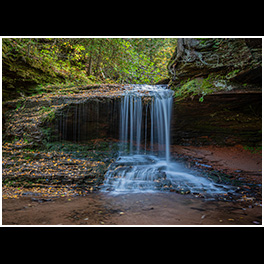
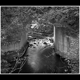
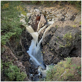
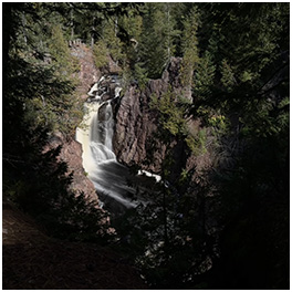
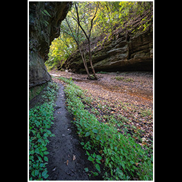
If you visit the lower area of Matthiessen State Park, you can walk through a naturally carved tunnel on the left side of the canyon to get a unique view of the waterfall and cliff face. While I was standing there, I felt like this was my little hiding place, so I edited this monochrome image to match that feeling.

…view older images with the thumbnails below…


CF9050 240929 150607

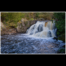
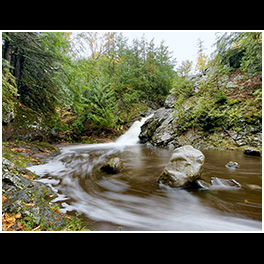
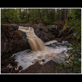
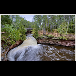
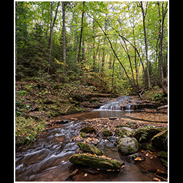
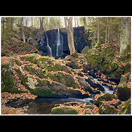
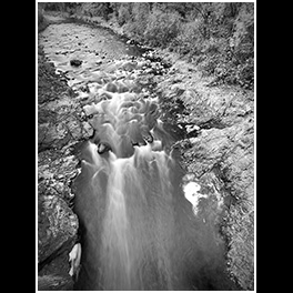
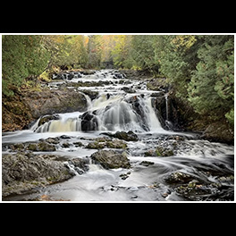
I first visited Matthiessen State Park back in 2014 on a day that I photographed 4 of the waterfalls at Starved Rock as well. You can see how sunny it was in quite a few of the photos, but the sunshine made it almost impossible to get a longer exposure of Cascade Falls – that is, until a cloud drifted overhead. The same thing happened throughout the day on this trip to Matthiessen; the clouds drifted overhead allowing for some longer exposures.

…view older images with the thumbnails below…


CG2319 231008 150703

When you go on vacation there are typically photos that you know about before hand, but this photo, I don’t think I could have anticipated even if someone had mentioned it before our trip.
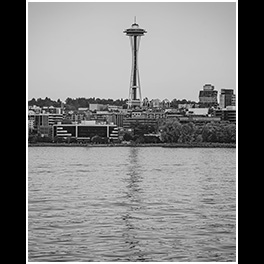
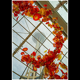
If you stand on the loading platform for the Bainbridge Ferry you can see this one tree that is missing in the treelike along Wing Point. But the windows along the platform are highly reflective; all of them except for the one window that allows you to line up the Space Needle with the empty spot in the treeline.

…view older images with the thumbnails below…


CG2202 241007 203032

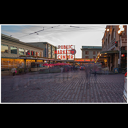
We stayed in a VRBO in the building to the right of this photo, and walking out to this patio / sidewalk each day was so welcoming. There was a variety of restaurants and entertainment along the first couple of floors and then housing in each building’s higher floors. Down near Skillet was the alleyway that leads up to Pike Place Market to the North, and as you can see, the stairs down led to the waterfront walk. But…don’t ask about the rent.

…view older images with the thumbnails below…


CG2188 241007 202515

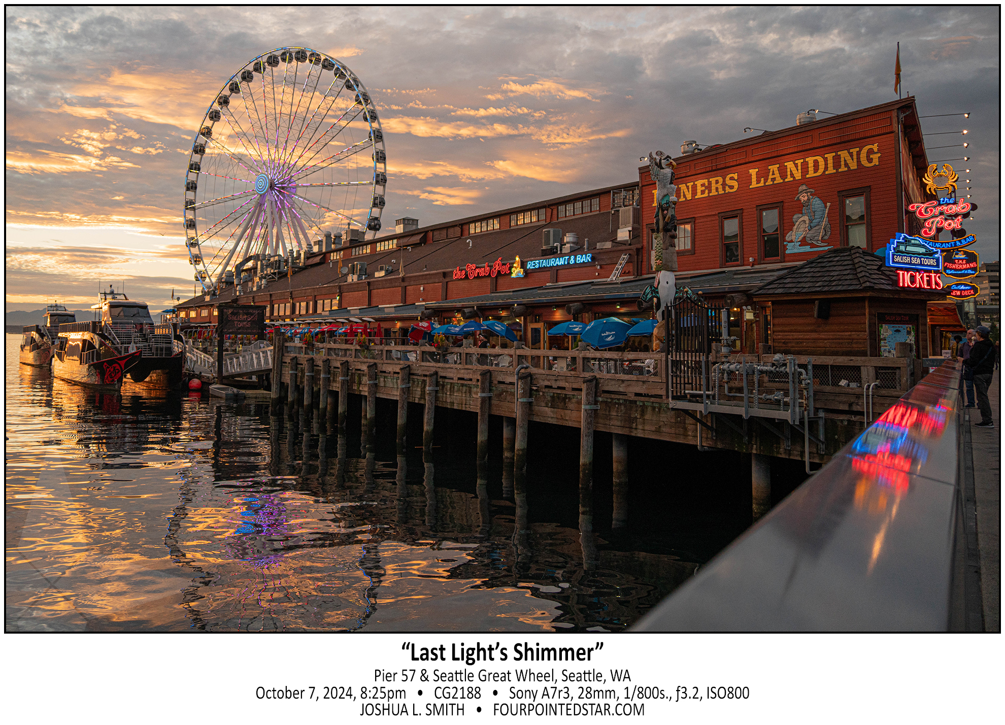
We took a sunset boat ride out into Elliot Bay on our second to last day in Seattle. The colors in the sky were spectacular, and they mixed so well in with the colors on Pier 57. I hadn’t brought my wider lens, so I’m a bit sad that it’s so tight to the edges, but I love the colors!

…view older images with the thumbnails below…


CG1541 241006 211811

This might be my most serendipitous shot from our Seattle trip in October. Sarah and I were walking back to our VRBO that evening; Sarah wanted to look at a chocolate shop, but as we passed Union Street, the moon caught my eye. My feet were tired and I didn’t have my tripod with me, so this was taken with my Sony propped on top of a circular railing over the 3 story drop onto Post Alley. I probably took more than a dozen photos in my attempt to capture the scene; the ferris wheel would stop rotating, someone else would bump the railing, or I wasn’t standing perfectly still … but in the end I captured this 4 second exposure and only later discovered that it included Venus!

…view older images with the thumbnails below…


CG1198 241006 145019

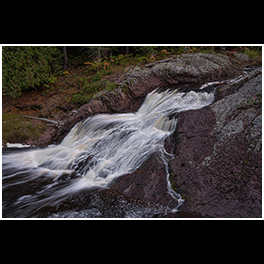
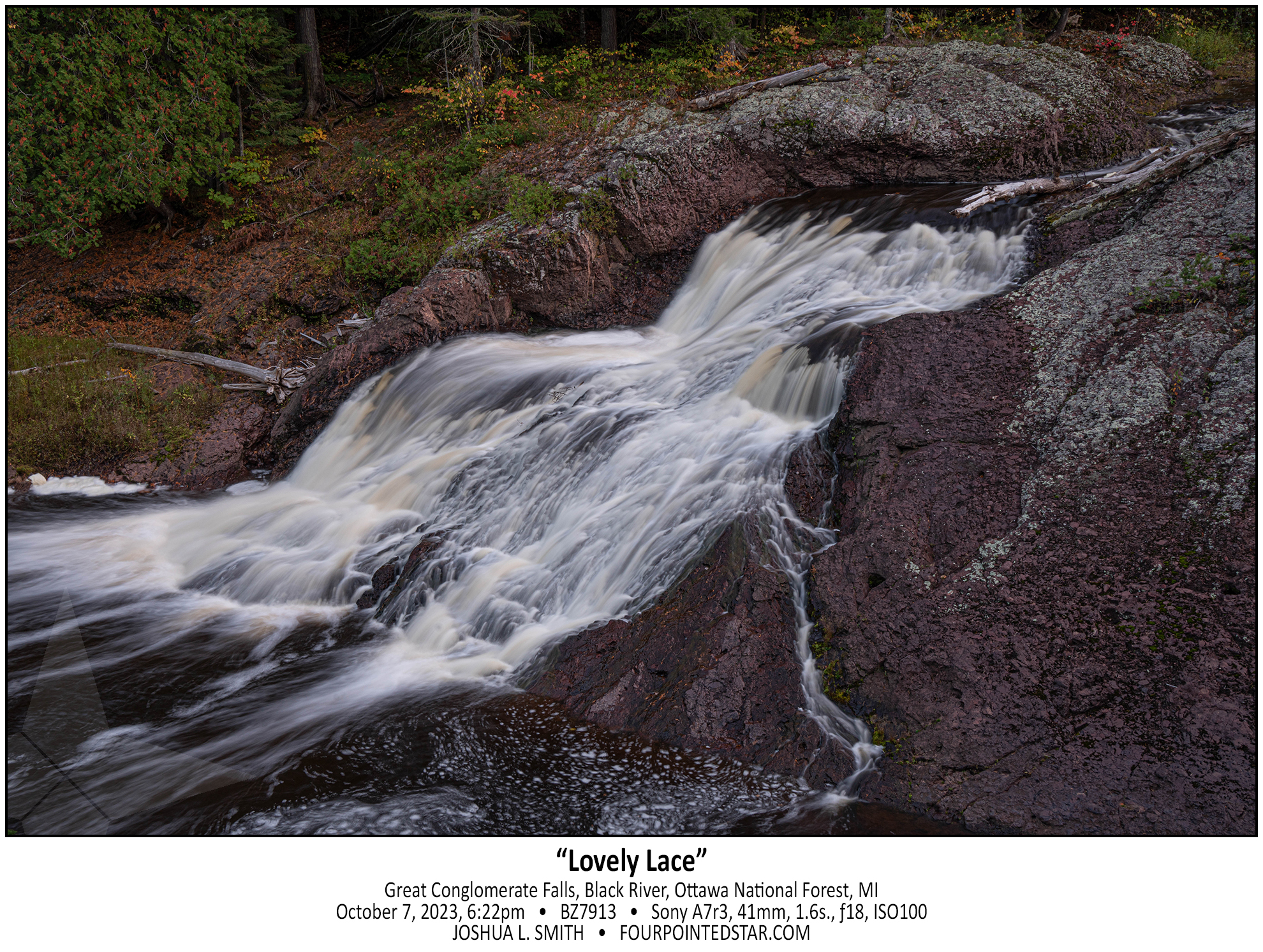
BZ7913 231007 182229

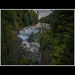
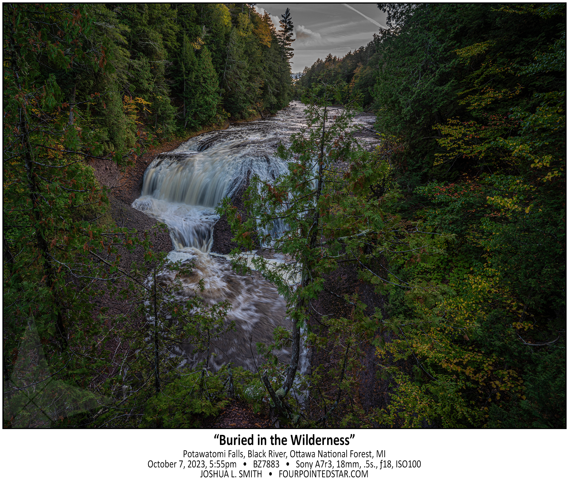
BZ7883 231007 175501


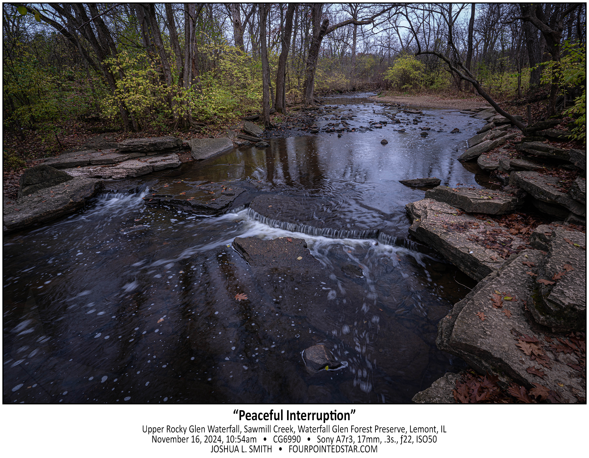
CG6990 241116 103823(1)

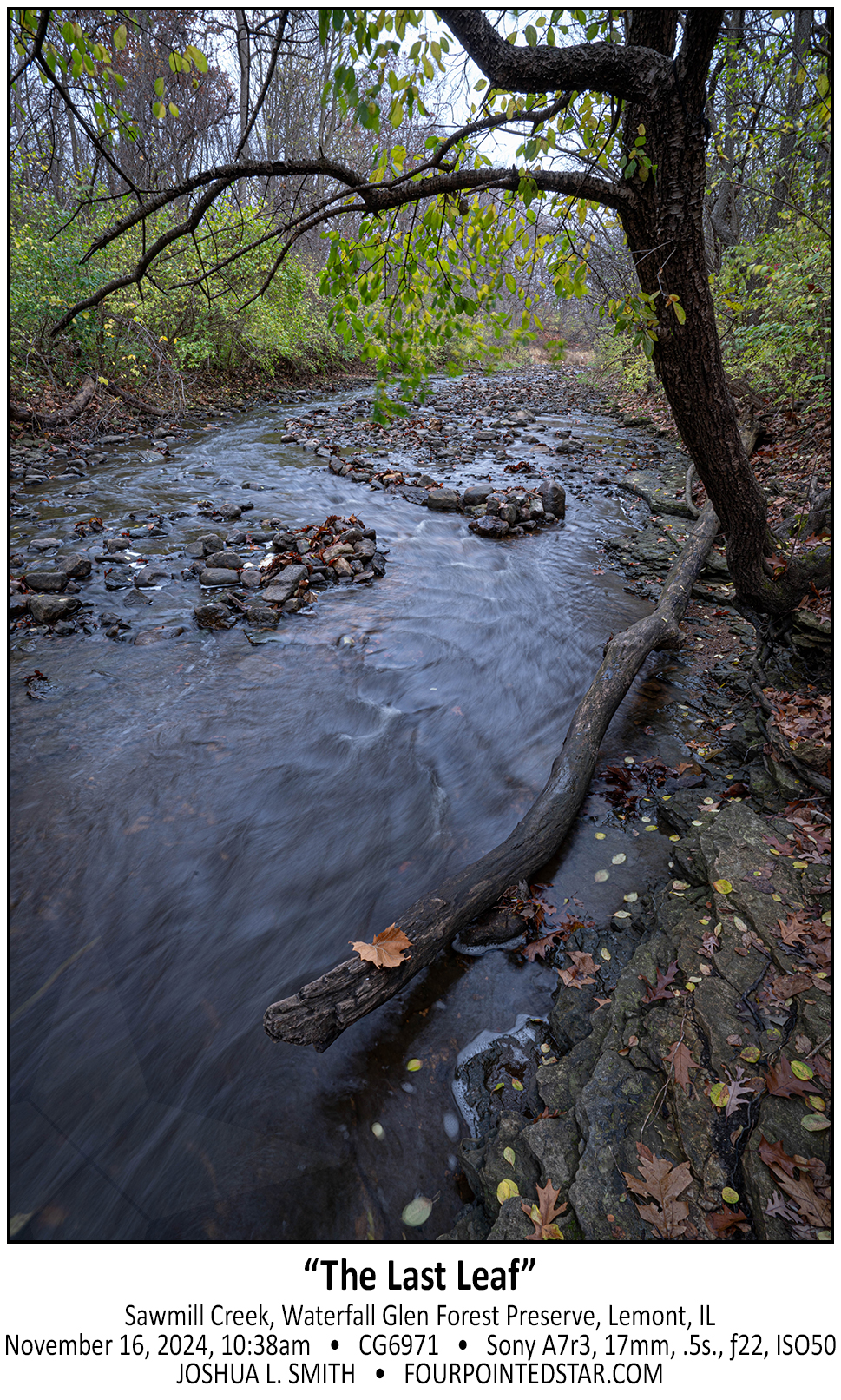
CG6971 241116 103823(1)

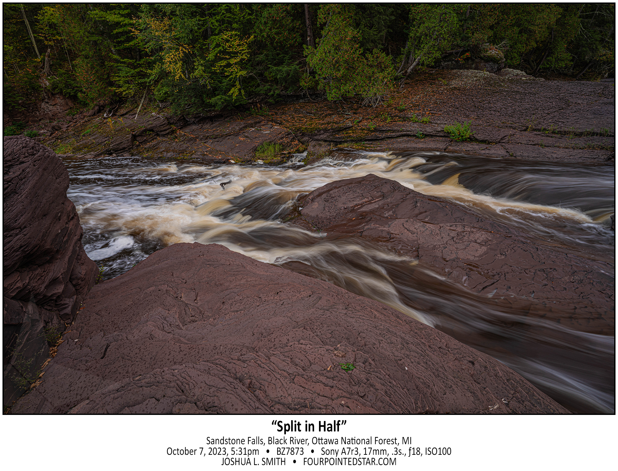
BZ7873 231007 173152

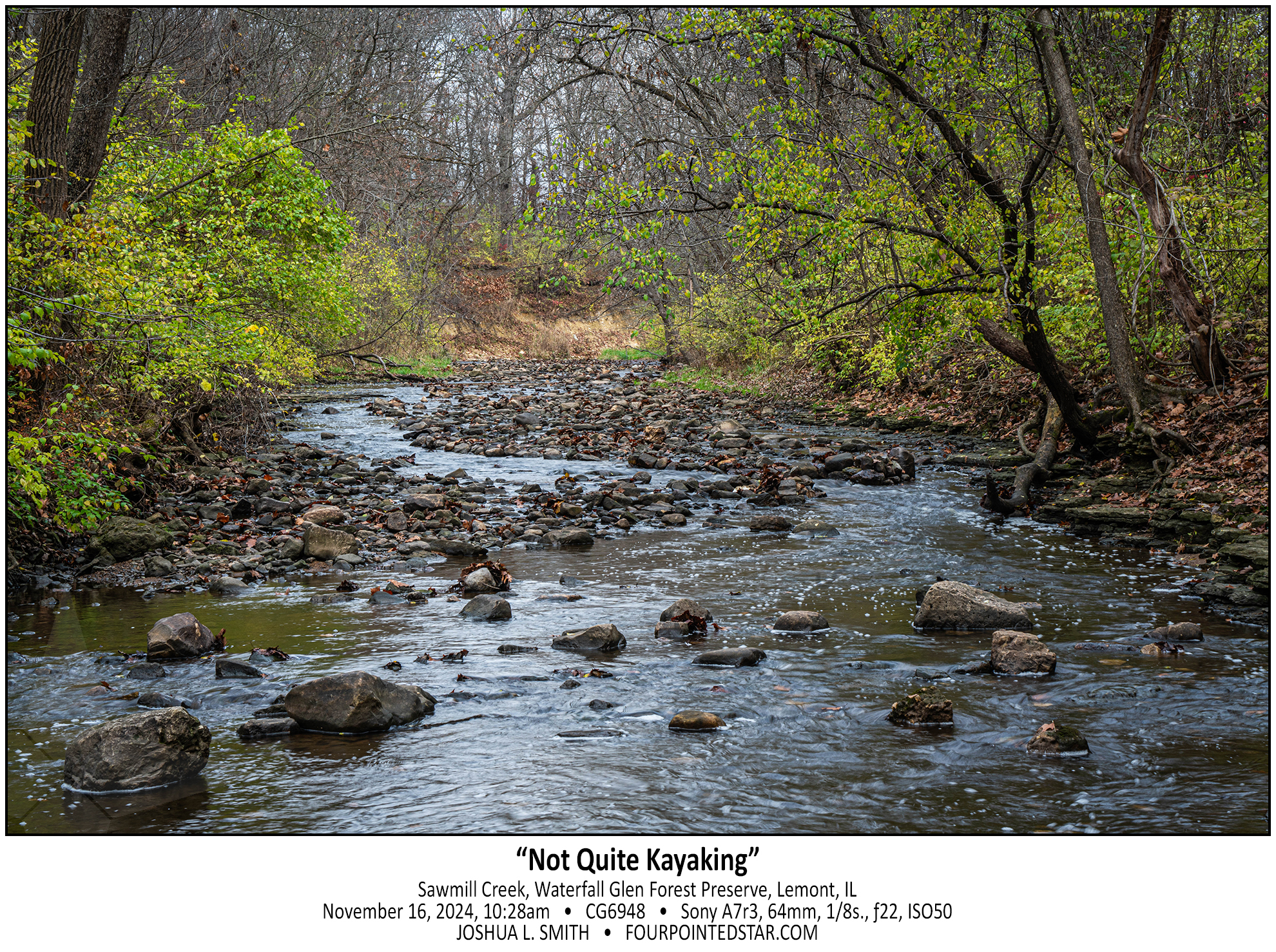
CG6948 241116 102837

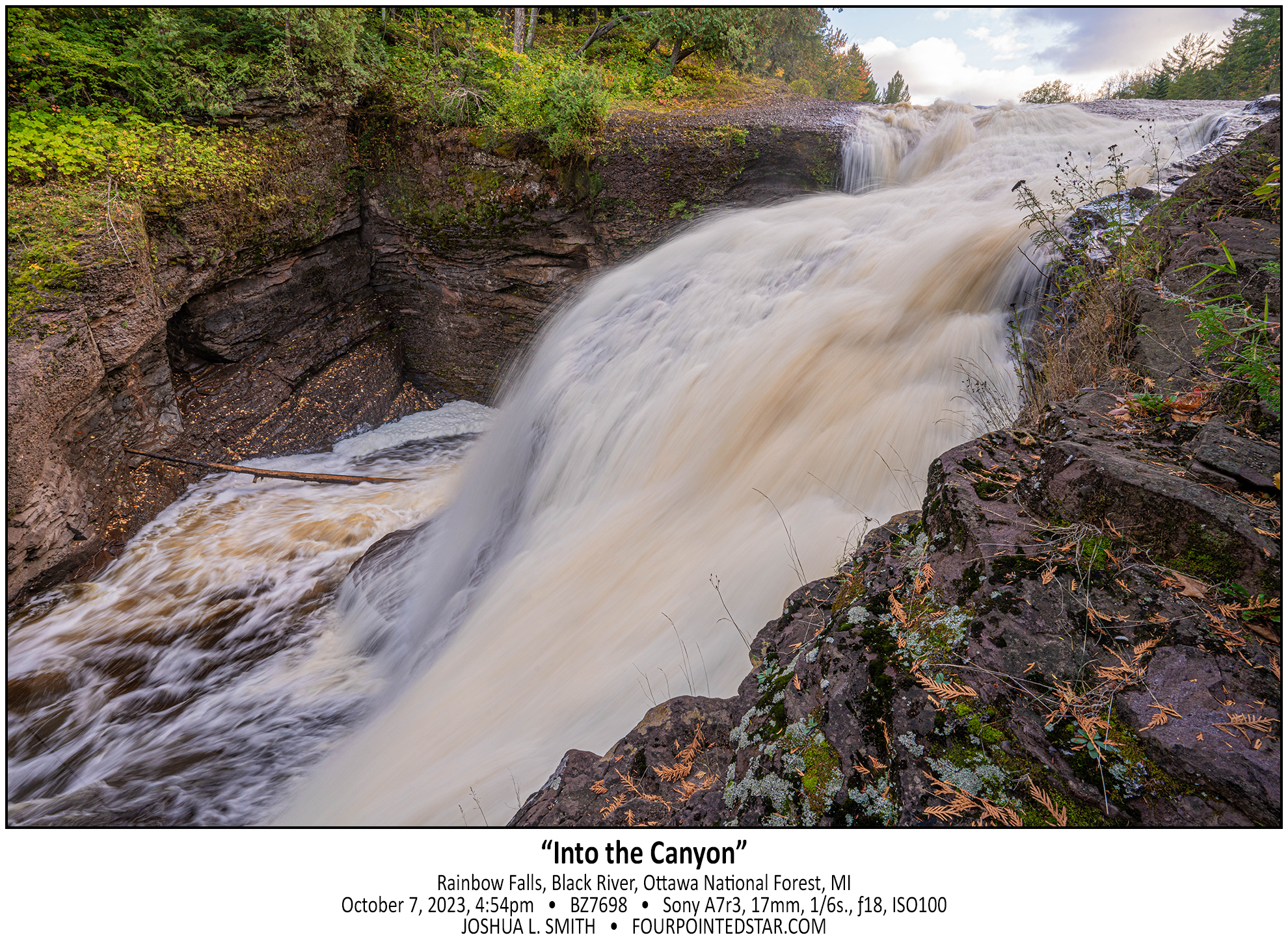
BZ7698 231007 165421

BZ7533 231007 123845

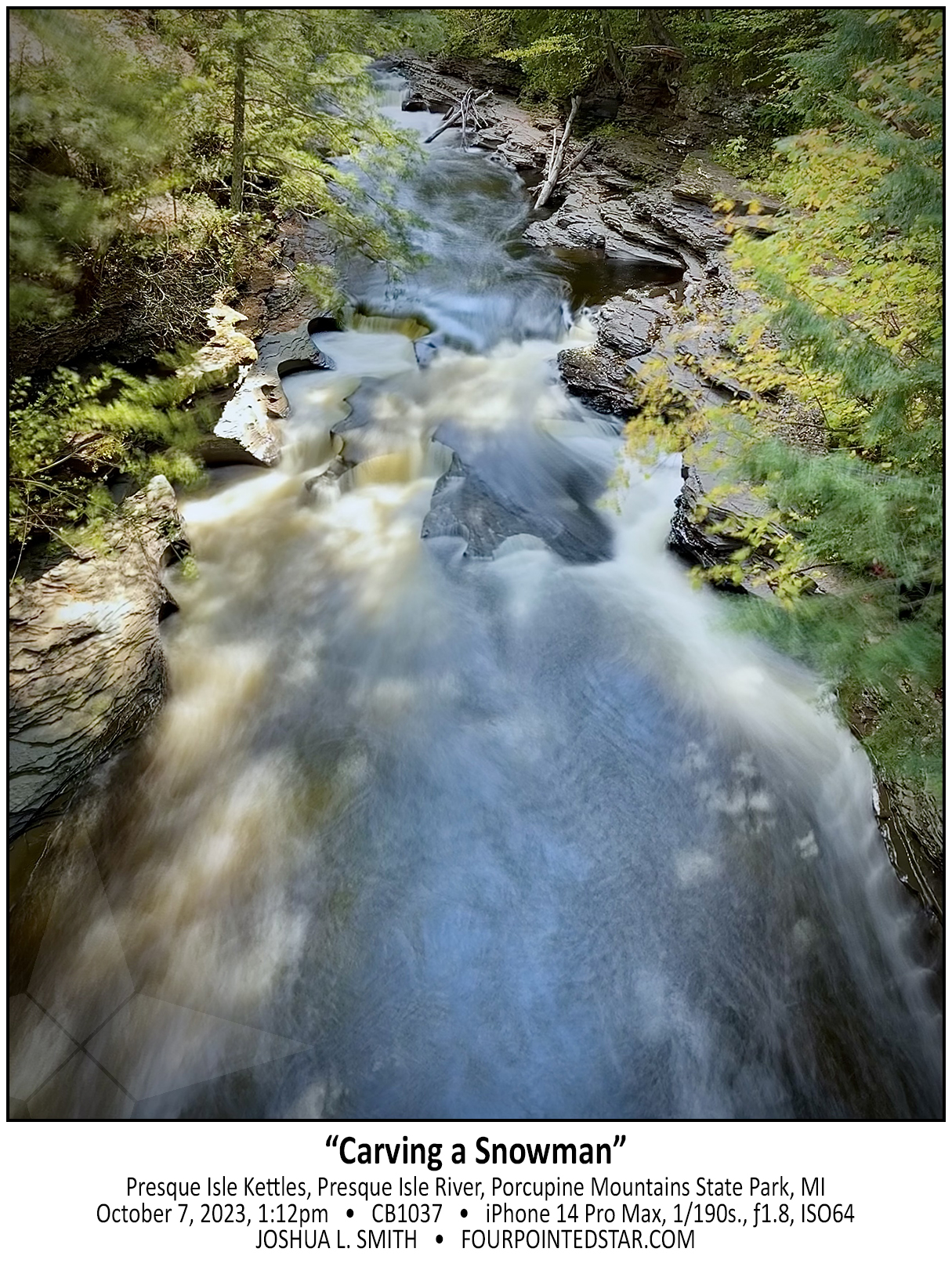
CB1037 231007 131225

CB1019 231007 111939

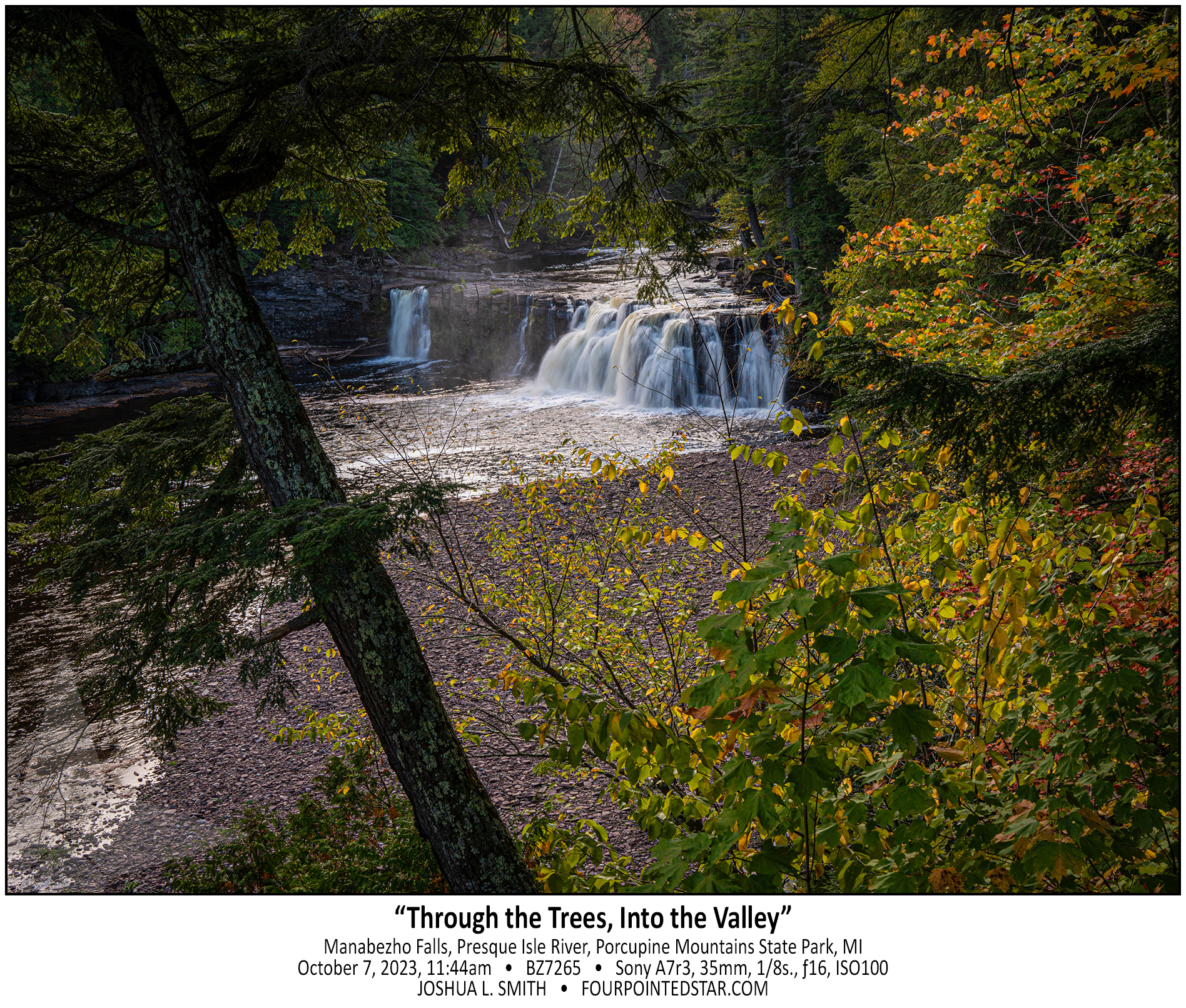
BZ7265 231007 114457

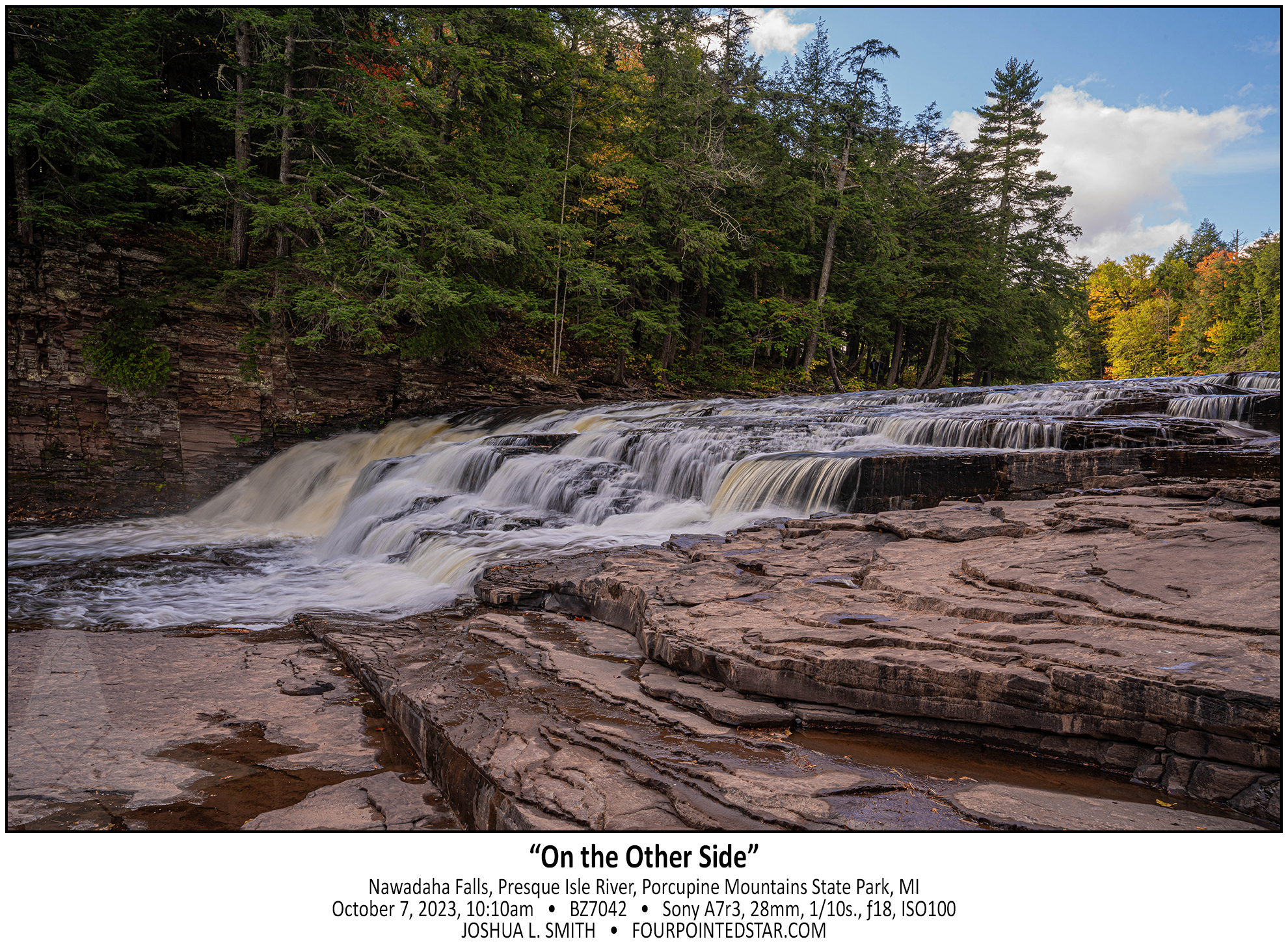
BZ7042 231006 101040

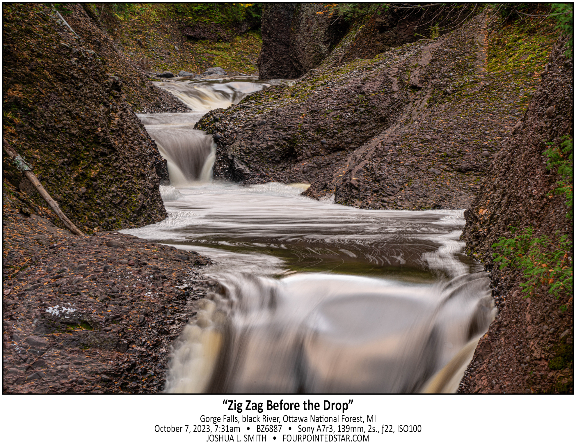
BZ6887 231007 073135

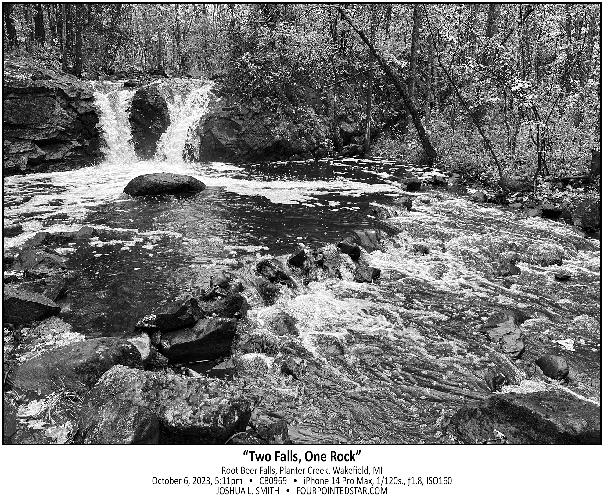
CB0969 231006 171125

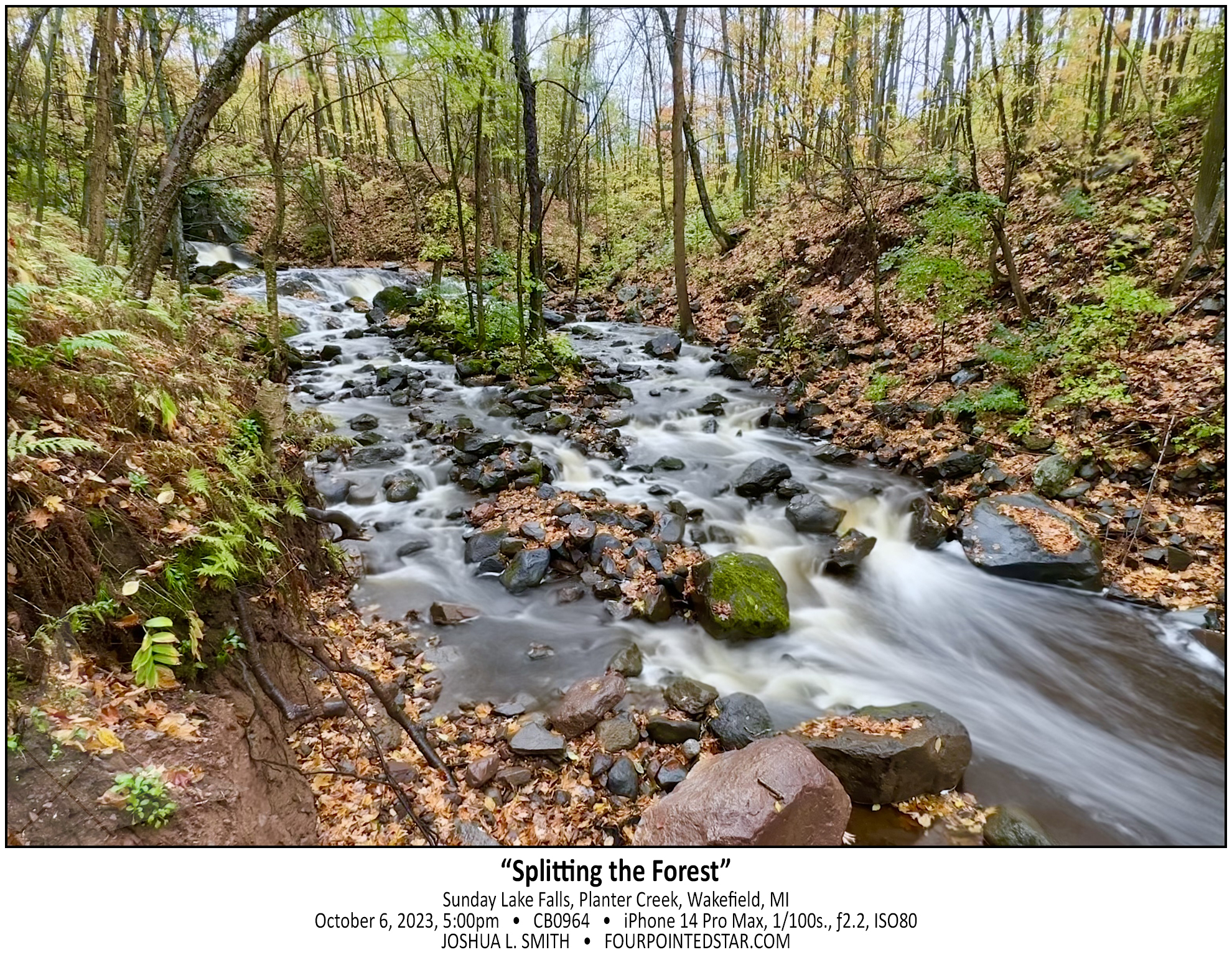
CB0964 241006 170015

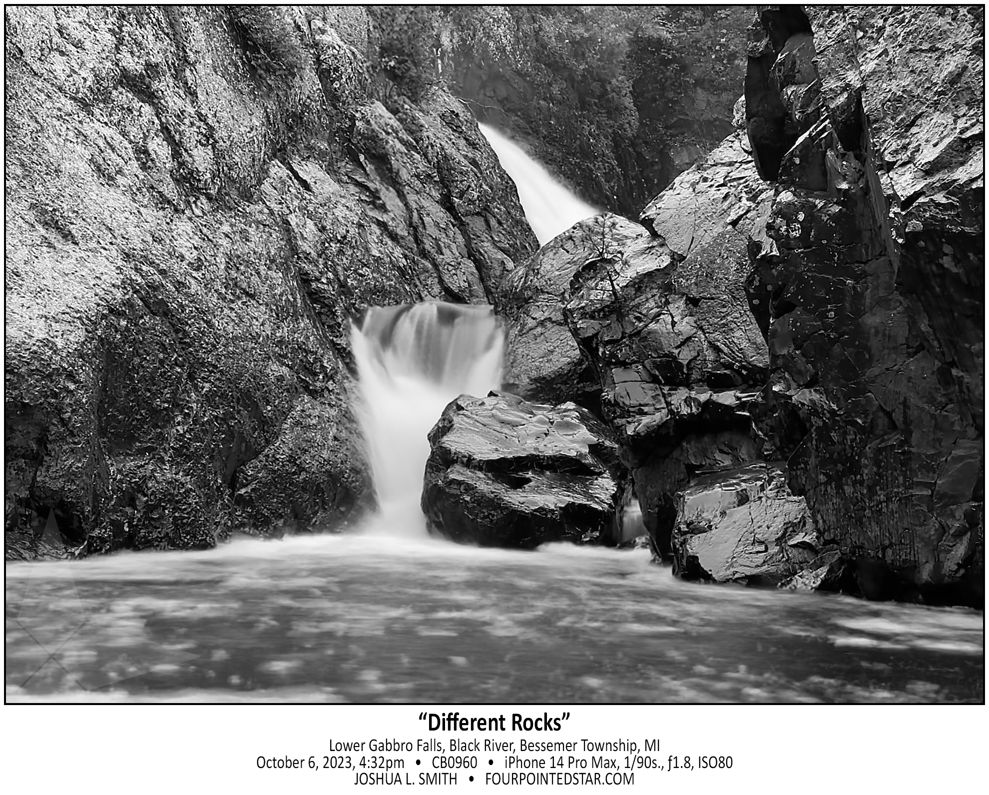
CB0960 231006 163233

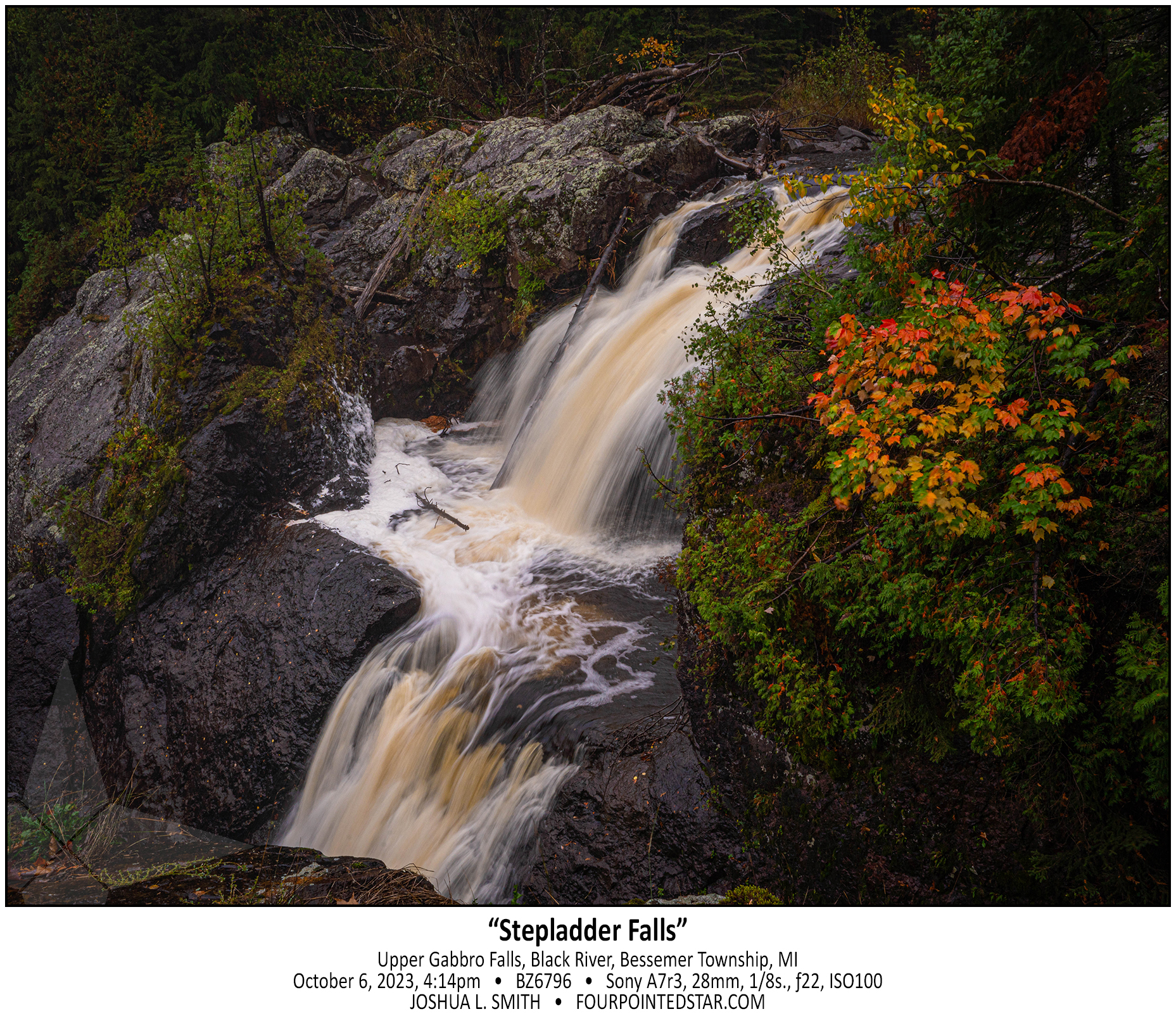
BZ6796 231006 161435

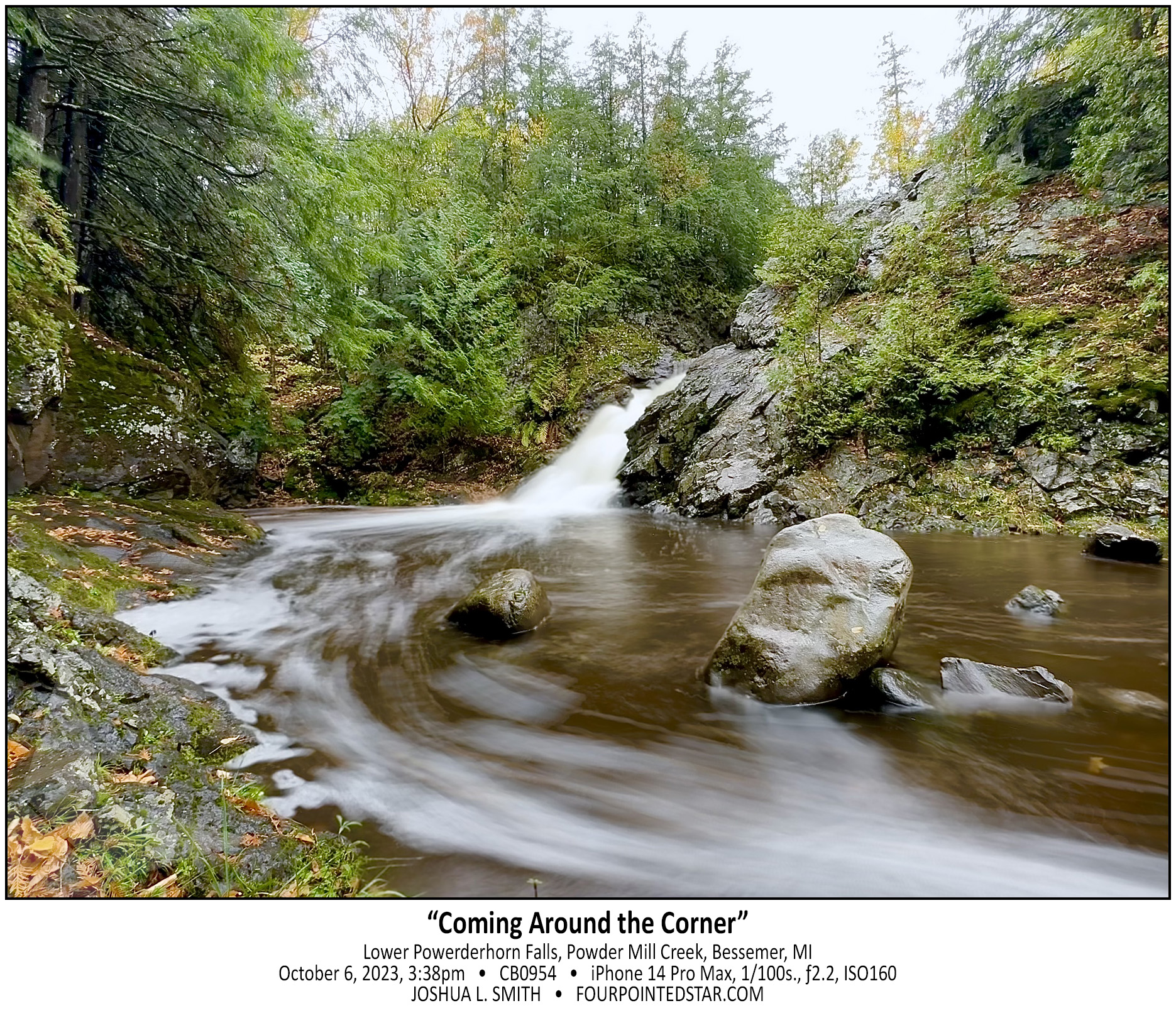
CB0954 231006 153837

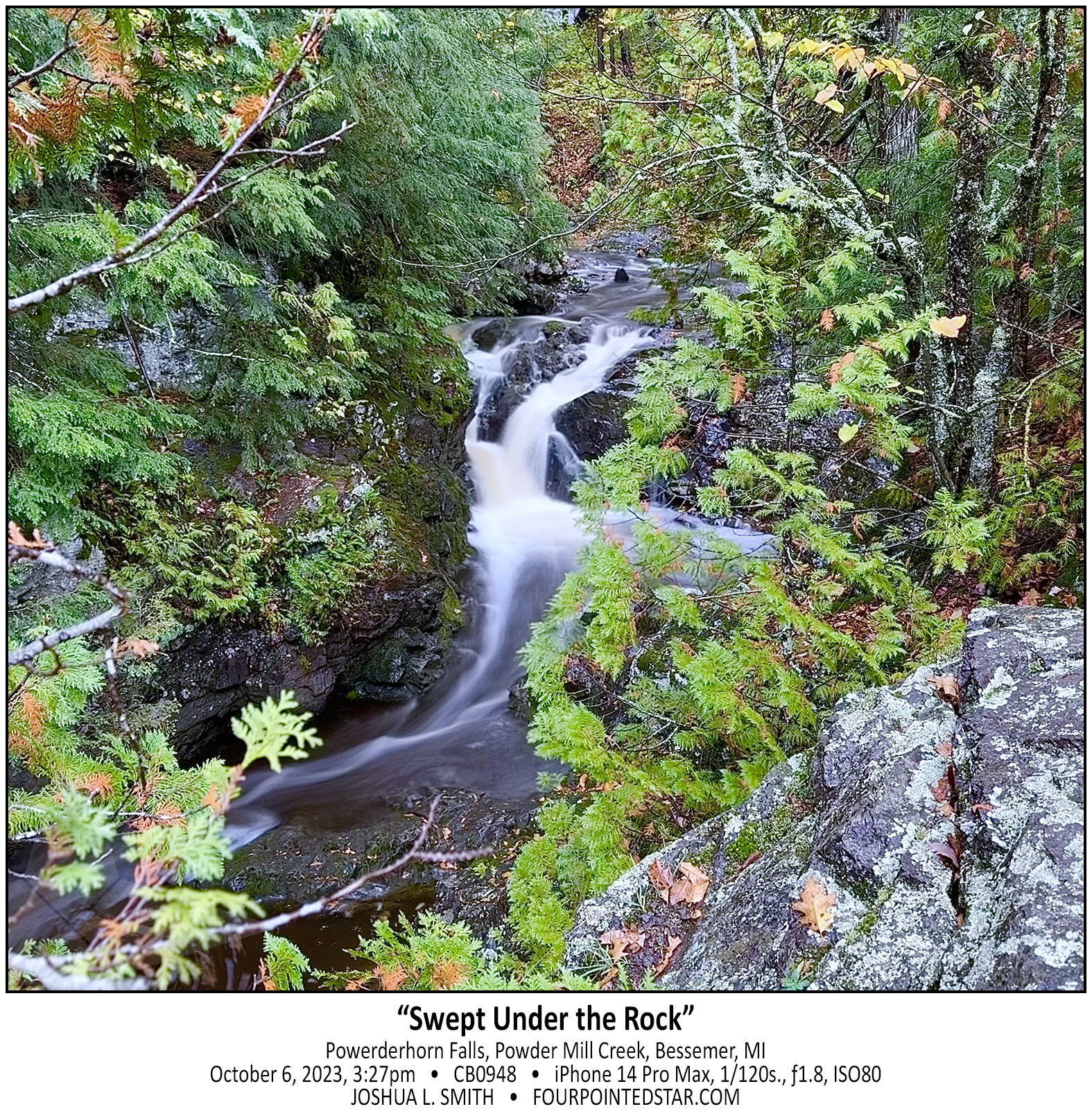
CB0948 231006 152736

BZ6381 231005 135621

BZ6210 231005 113540

BZ6161 221005 112439

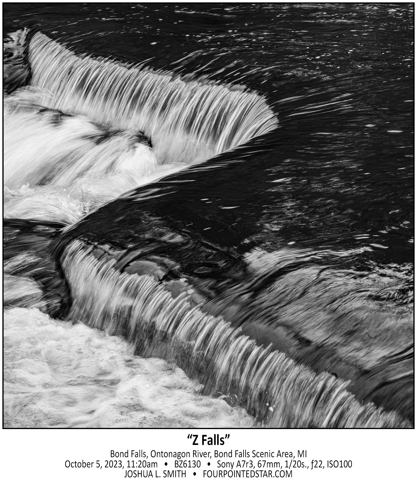
BZ6130 231005 112016

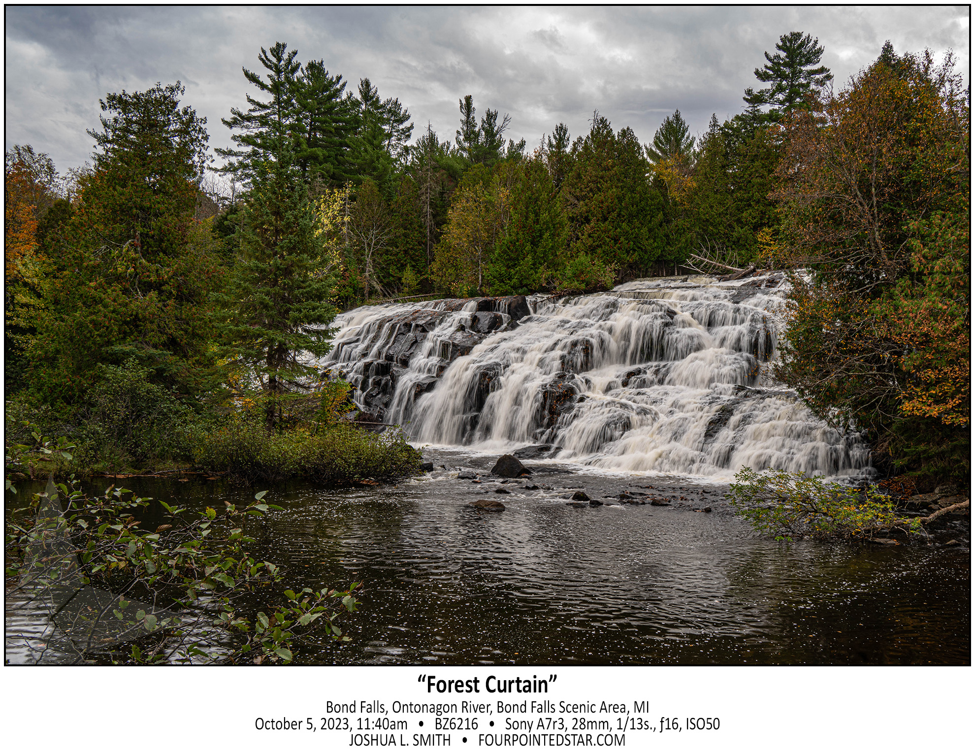
BZ6216 231005 114033

CG7379 241123 152542

BZ5841 231004 155808

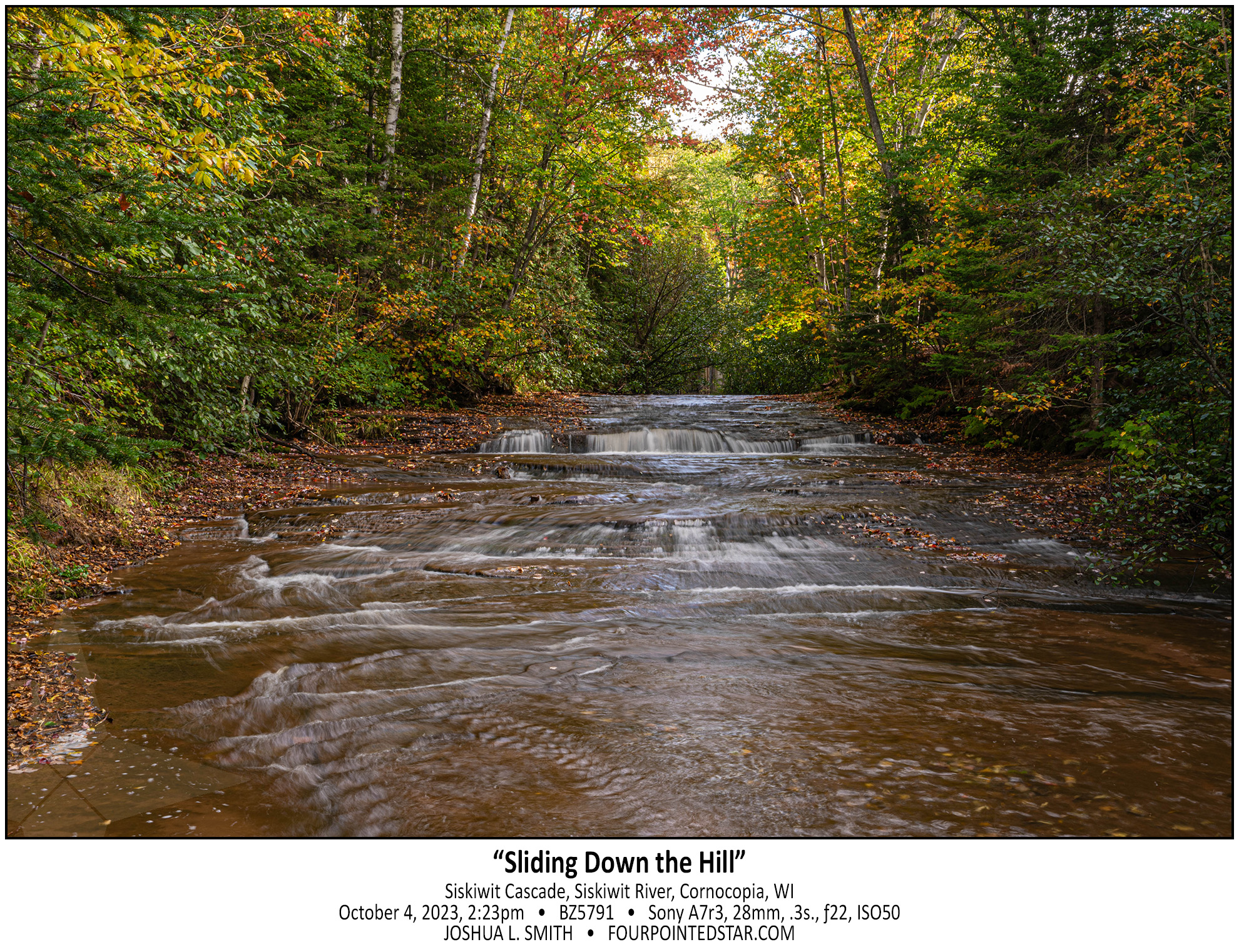
BZ5791 231004 142342

BZ5786 231004 134617

CG7115 241117 165527

BZ5712 231004 132641

BZ5673 231004 115639

BZ5629 231004 110408

BZ5557 231004 100306


CG1900 241007 194343

BZ5539 231004 095623

CG1743 241007 192349

CG1568 241007 141010

BZ5489 231004 094514

CB0684 231004 093814

BZ5384 231004 085728

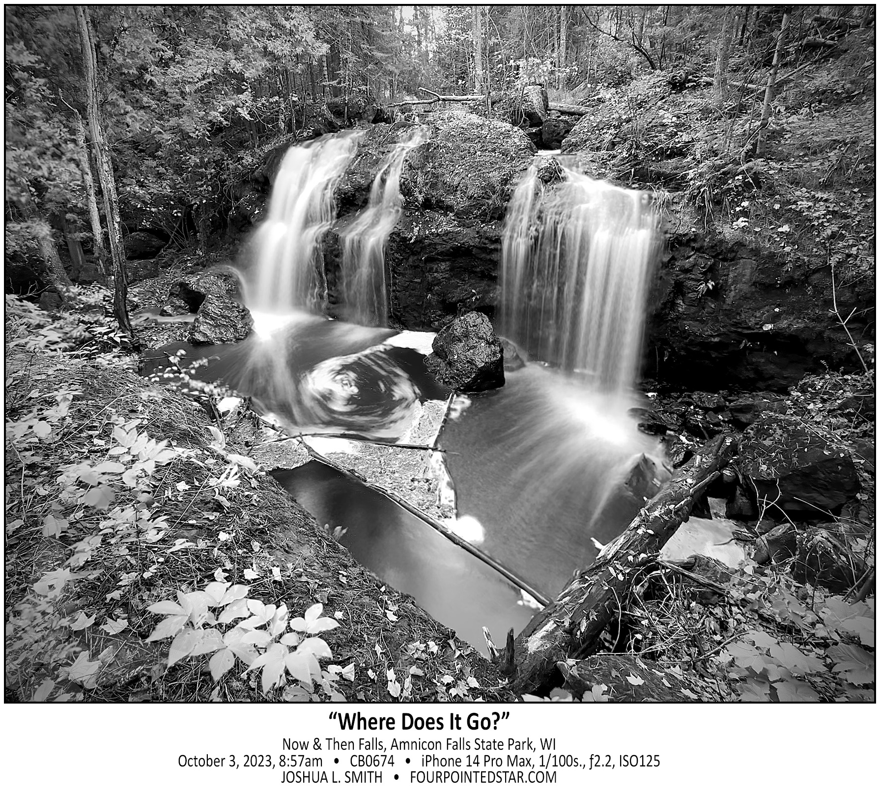
CB0674 231004 085740

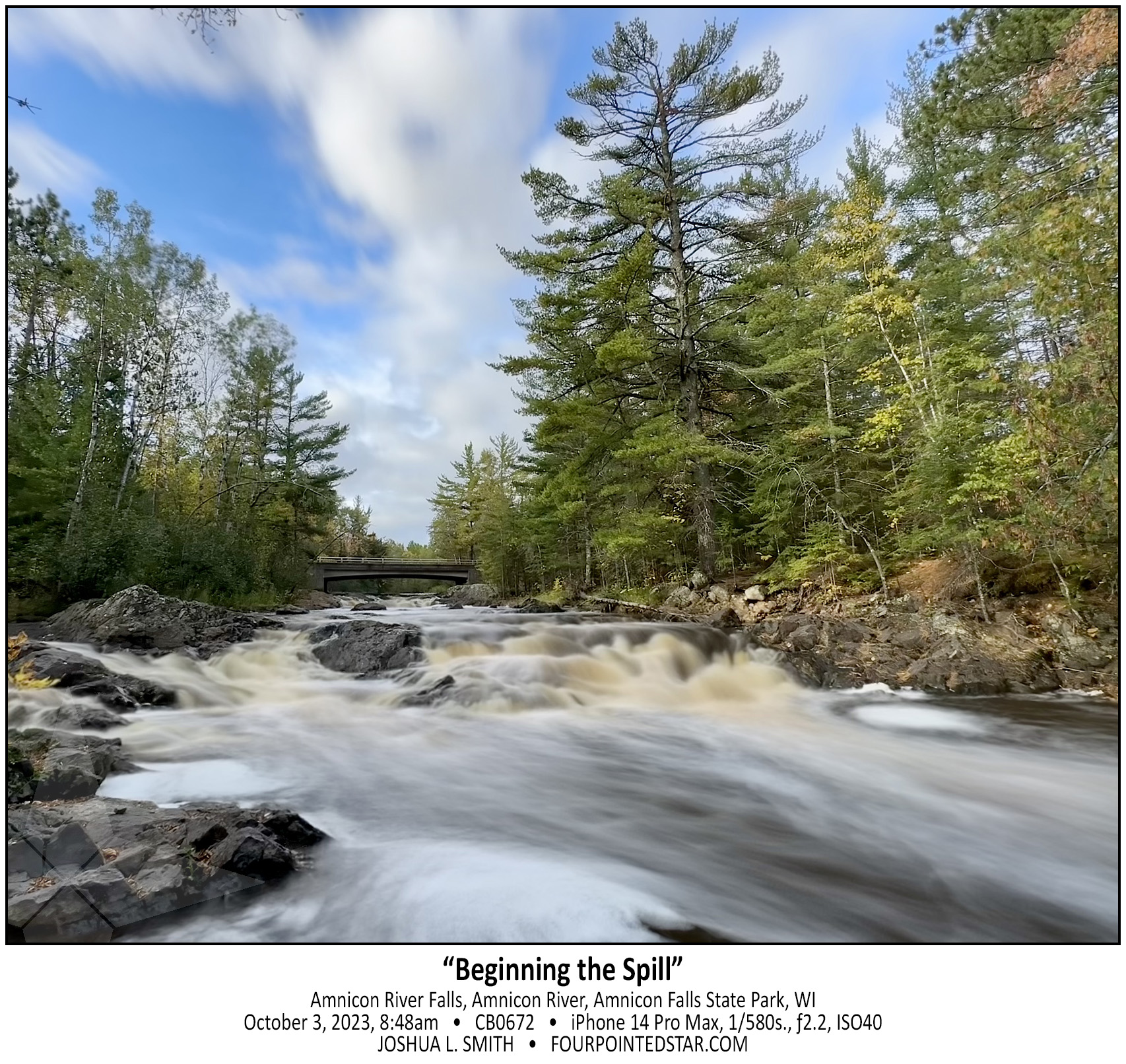
CB0672 231004 084828

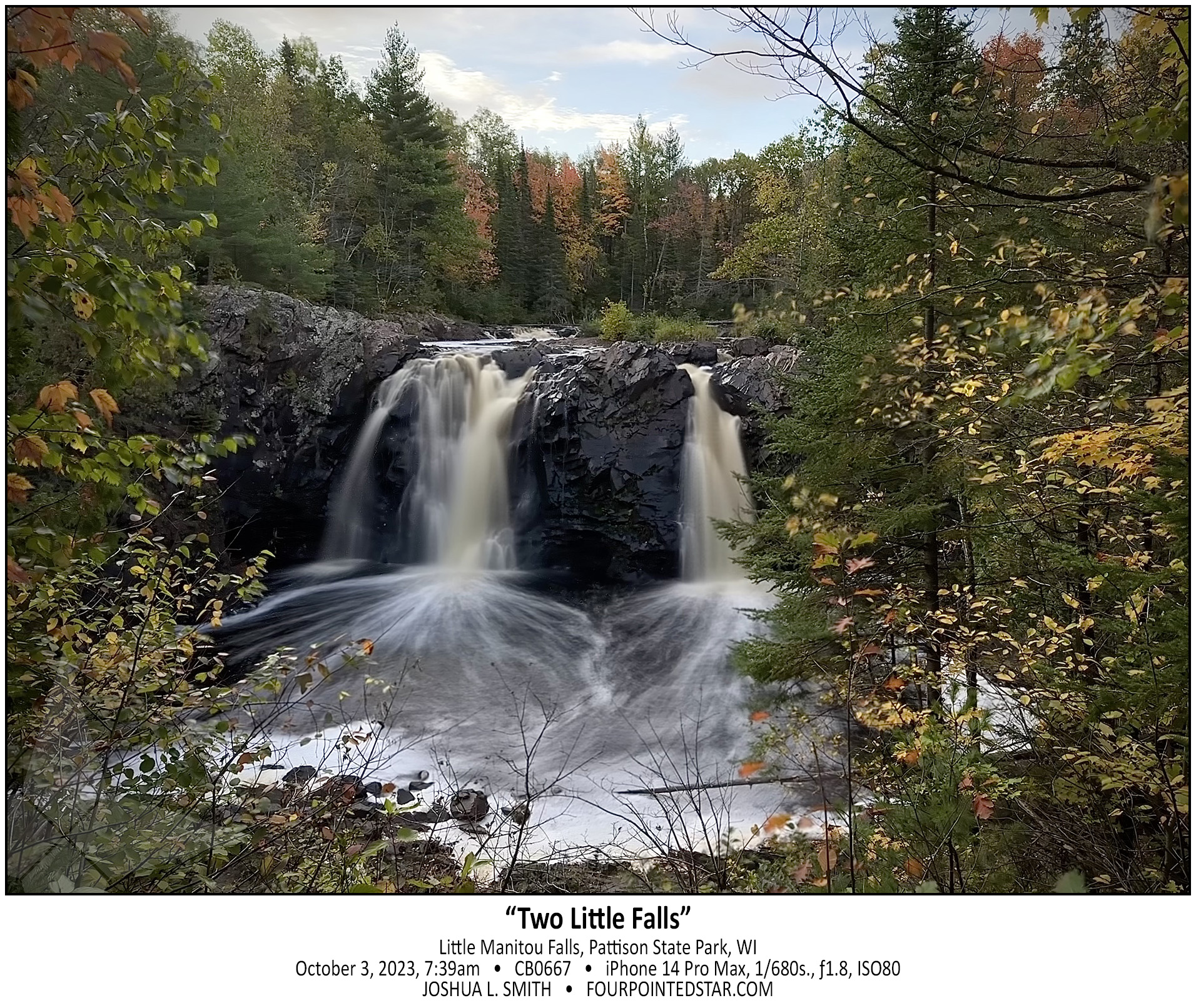
CB0667 231004 073953


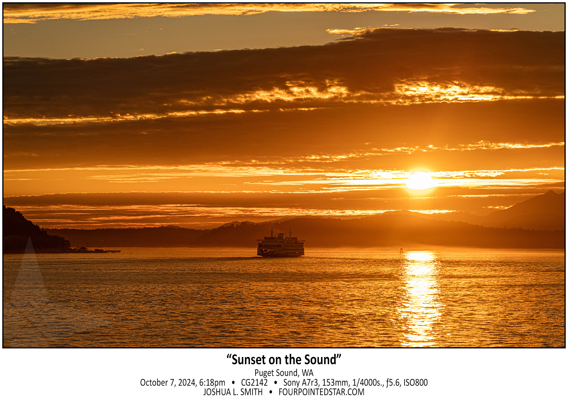
CG2142 241007 181814

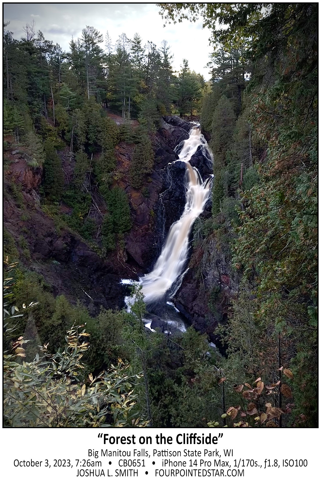
CB0651 231004 072608

CG1912 241007 174630

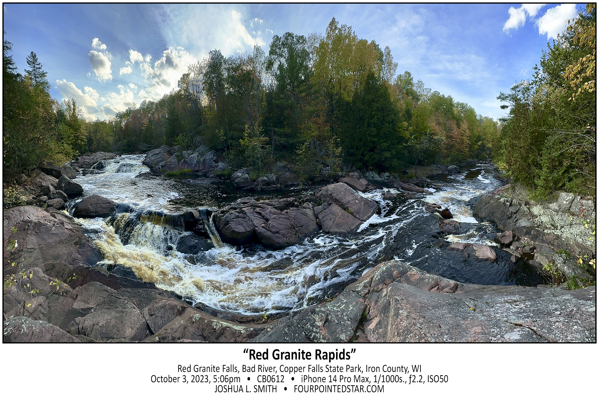
CB0612 231003 170659

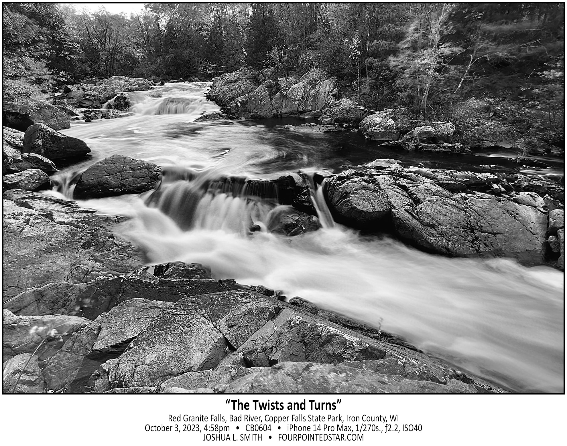
CB0604 231003 165837

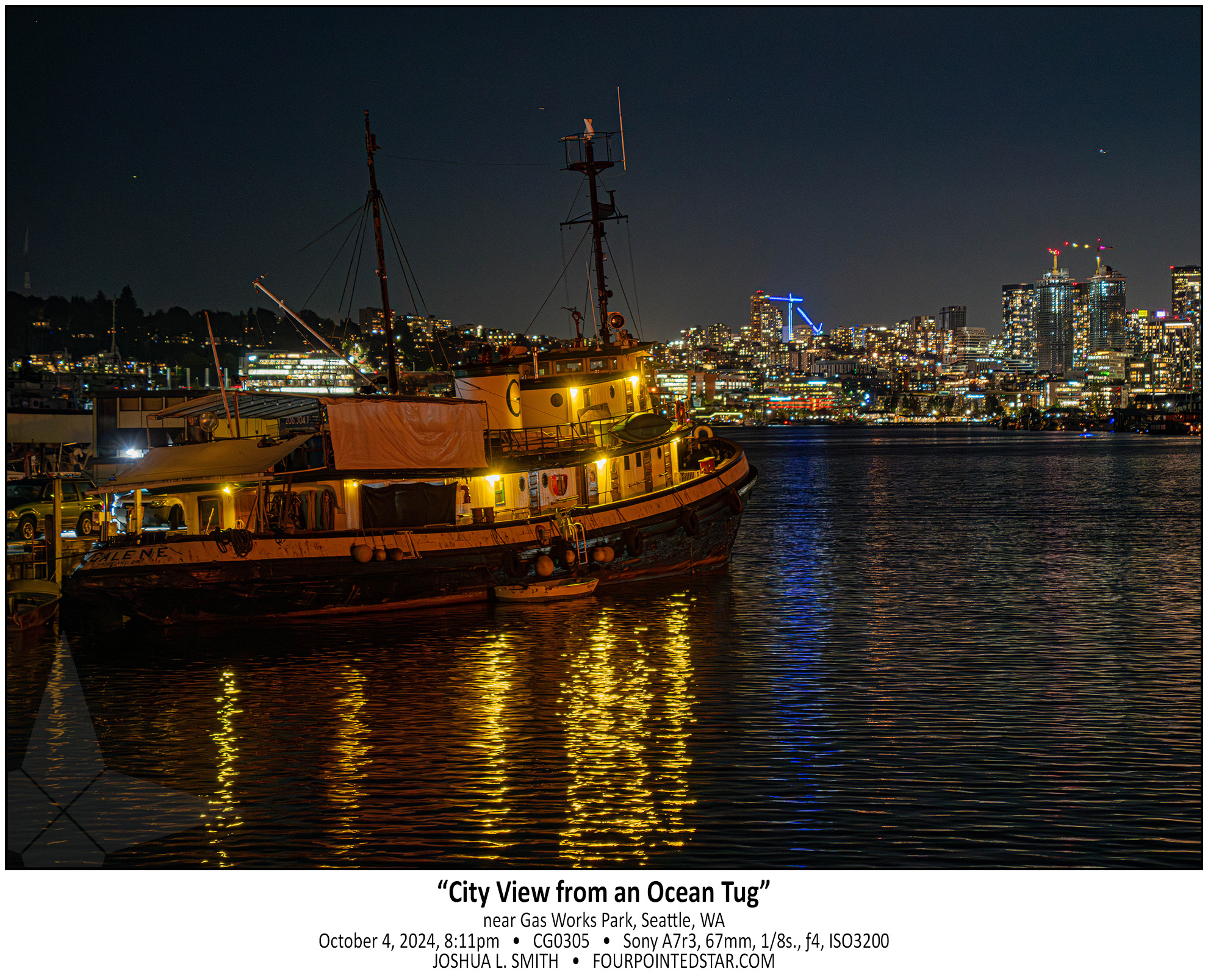
CG0305 241004 221157

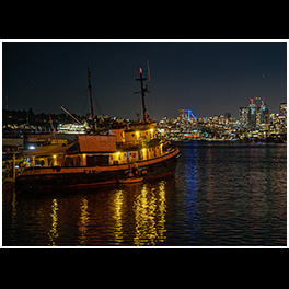
Our human sense of scale is often inadequate for what is around us; that tugboat is huge, longer than a semi truck. But that tugboat pales in comparison to even the small “lake” that it’s floating in, Lake Union.

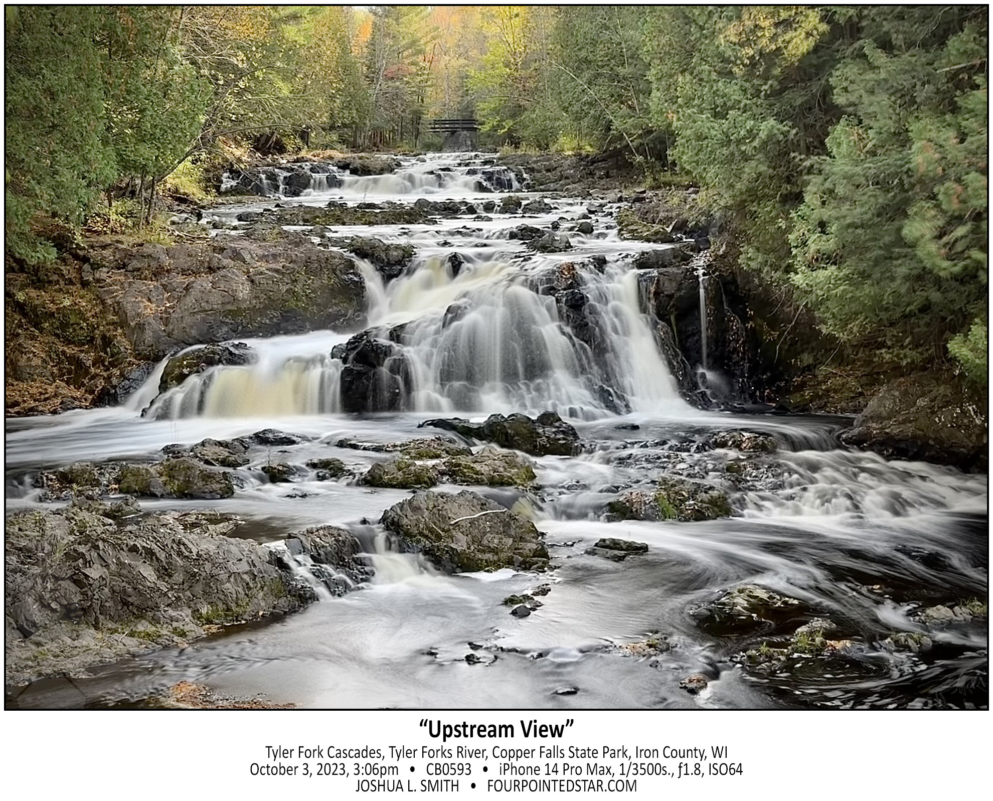
CB0593 231003 150619

CB0589 231003 144112


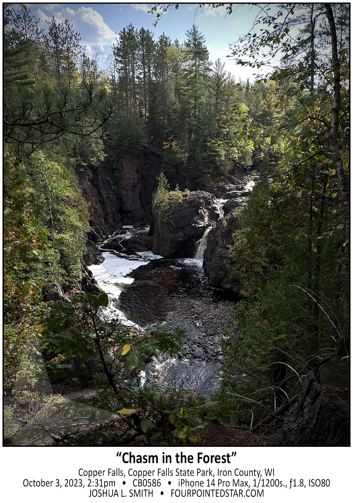
CB0586 231003 143120

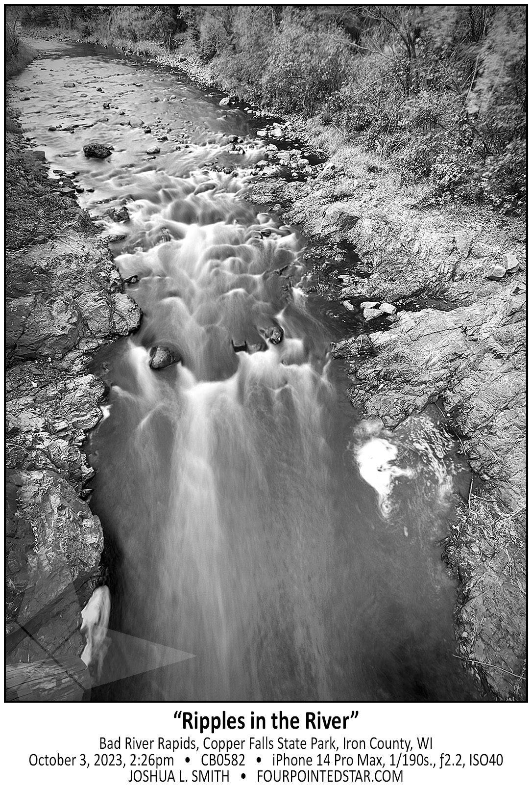
CB0582 231003 142656

CB0564 231003 140649

CF9134 240929 154438

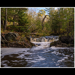
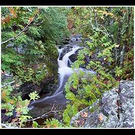
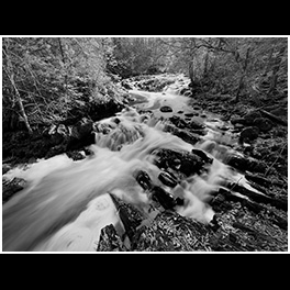
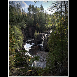
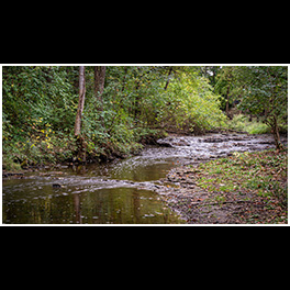
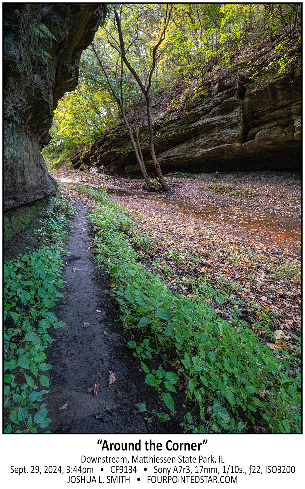
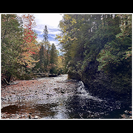
Just fair warning, if it has rained recently, and you decide to walk downstream at Matthiessen, your feet will get muddy or you’ll walk in the streamed itself. And maybe both…

CB0553 231003 125604

CF9112 240929 153626

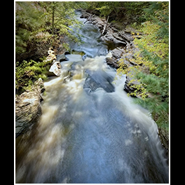
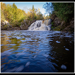
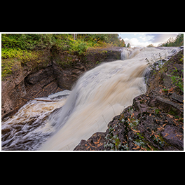
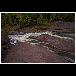
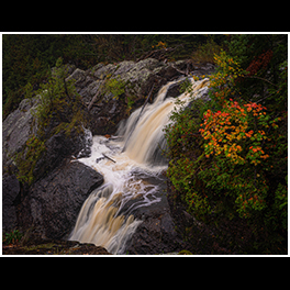
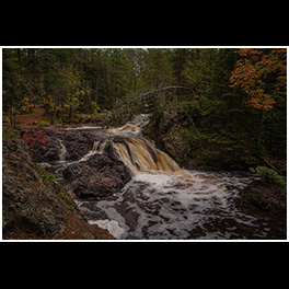
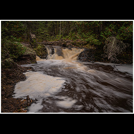
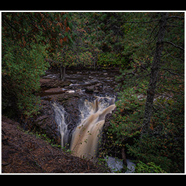
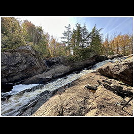
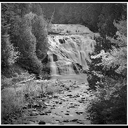
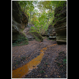
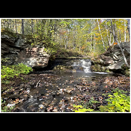
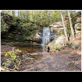
My daughter and I visited Matthiessen back in 2018, and we walked upstream that time. So this time, we visited the main waterfall area; then we walked downstream this time – all the way to the Vermilion River. The Devil’s Paintbox is right by the main stairs down to see the main waterfall area, and honestly, it’s not that exciting except for the copper colored stream that was very slowly flowing out of the alcove.

CB0549 231003 125548

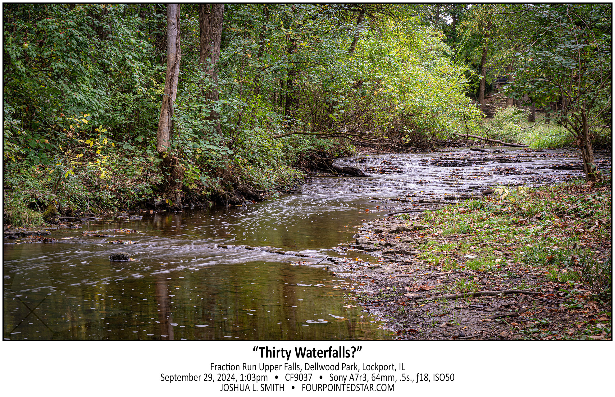
CF9037 240924 130356

Not only did we find a waterfall in Dellwood Park along Fraction Run Creek, we found two! This waterfall is probably widely known – it’s right on the frisbee golf path; the other waterfall is a little harder to get to. There are likely more drops as well, but they would only be accessible by walking through the stream.

I’ve written a few times about “what is a waterfall”, so I would ask – Is this 1 cascade or 30+ individual falls? 🙂

CB0541 241003 123908

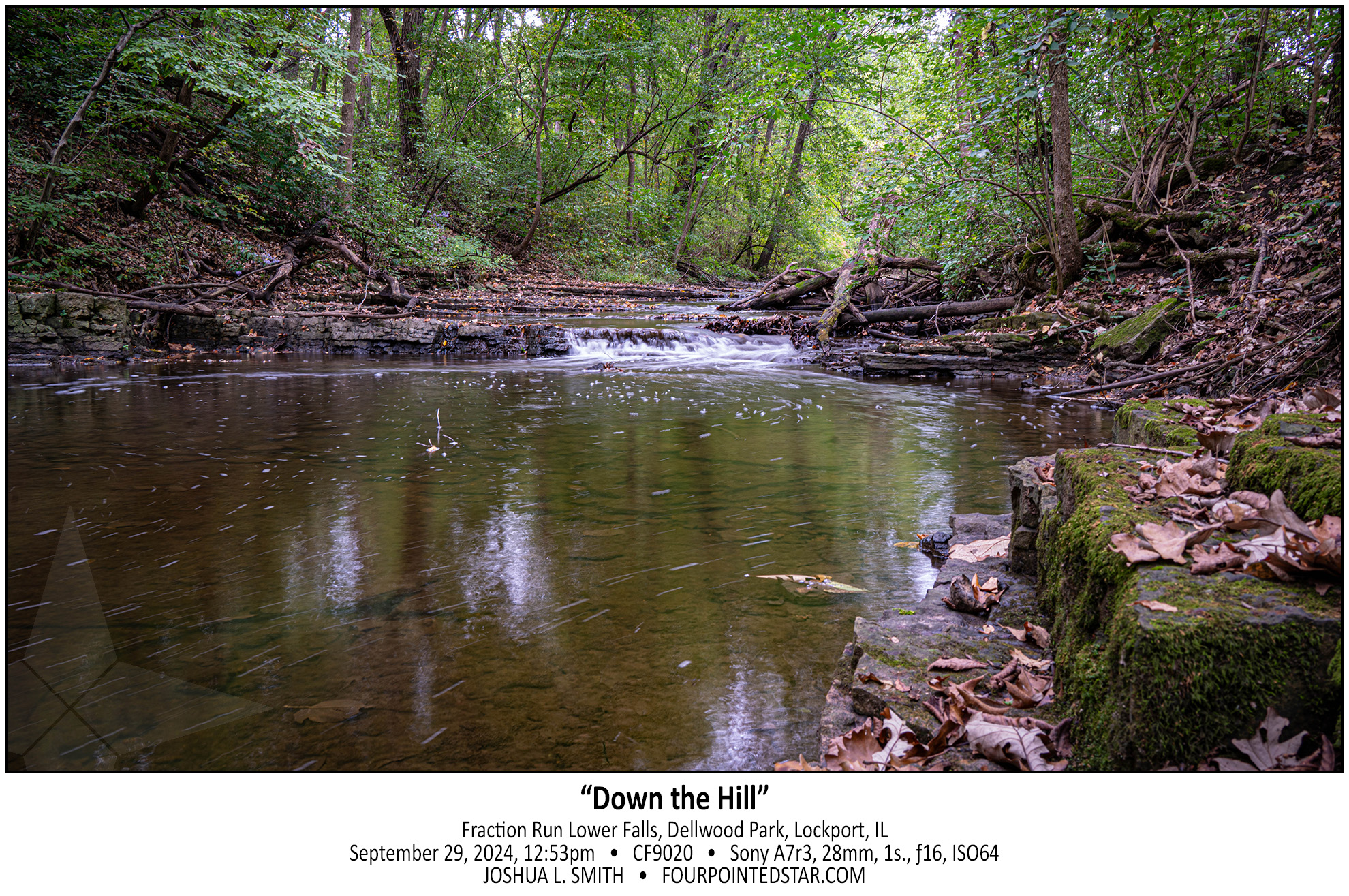
CF9020 240929 125323

While I was visiting Sagawau in Cook County, one of the park employees mentioned that there may be a waterfall in Dellwood Park in Lockport.  Since I have a client in Lockport, I already knew that there was a stream in a valley in Dellwood Park, and I was disappointed that it hadn’t occurred to me that there was likely to be a waterfall in that valley.  So, the next available weekend, my oldest daughter and I went on a hike to see if we could find a waterfall along Fraction Run Creek…


CB0537 231003 123108

CF8973 240922 182706

CB0531 231003 115907

CB0518 231003 112451

CB0509 231003 104720

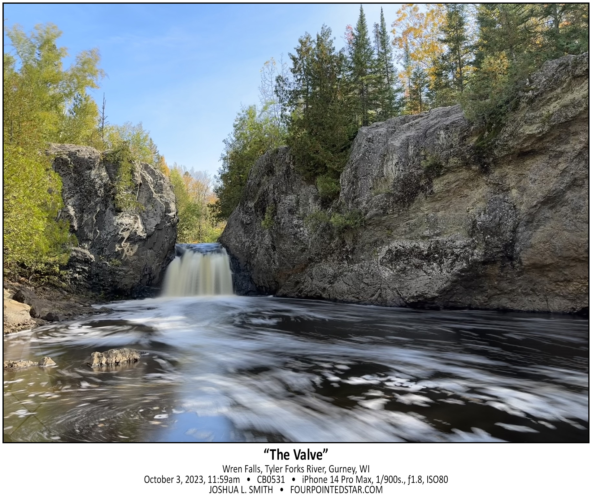
Oh man, where to start? This was “the story” from this trip; I saw so many very cool waterfalls, but this one, this one was interesting to find. My only directions for this location were that you turned down this particular forestry/logging road, and then “when the road forks, take the right side; the left side is VERY muddy after it rains. Once you cross the bridge, there is a pull over on the right side…” Well, it had just rained, so as I started down the glorified two-tracker, I watched for the fork in the road.

As I drove along it got muddier and muddier, but my Traverse has all wheel drive, so I wasn’t too concerned. Then I crested a hill and there was a small pool of muddy water at the bottom. Since there were tire tracks through it already, I assumed that there wasn’t anything dangerous in the water and I proceeded down the hill, through the mud, and then up the hill. As I crested the other side, there was another depression with more mud but just a little bit wider with more mud. Over the next 3 or 4 hills, each mud hole was a bit deeper and a bit wider.

As I crossed the 6th or 7th hill, the valley below was less of a small pool or muddy water, and almost a pond. It was at this moment that it occurred to me; not only have I travelled farther then the guide indicated, but now I have to turn around and head back through all of those increasingly deep mud puddles that I just made ruts in. Using my genius intellect, I assumed that the best way to avoid being stuck was to go as fast as possible through the puddles. There was one puddle where I felt the rear wheels gripping, but not the front wheels; but in each mud puddle, the Traverse came through.

So how did I find the waterfall? As I drove back on the two-track, I saw the “bridge” … a series of railroad ties laid across the road that I’d missed because I was looking for the fork in the road first.

CB0515

And yes, my wonderful white Traverse was a bit of a mess for the remainder of the trip. 🙂

CB0507

CB0501 231003 101834

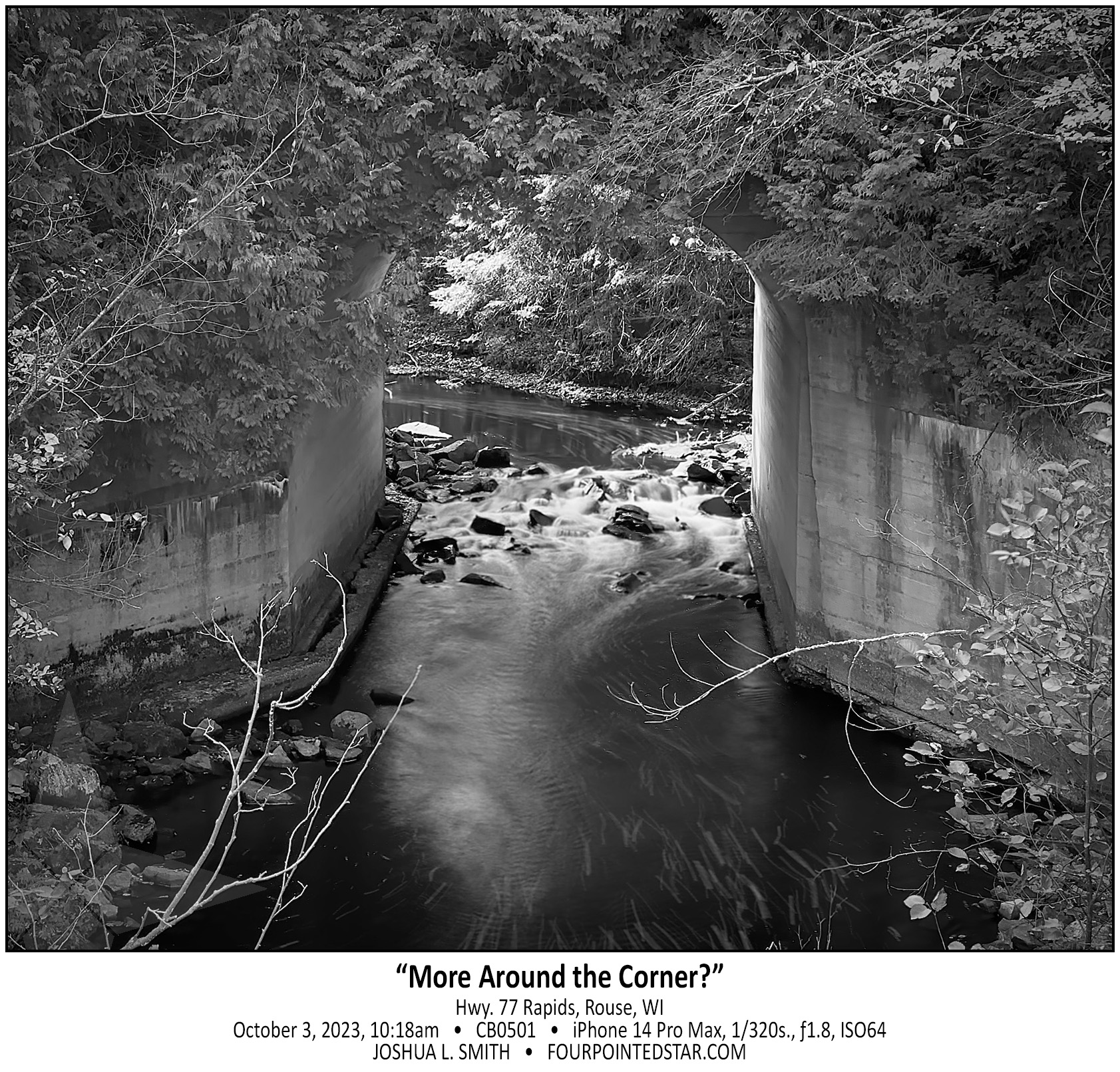
I have 3 waterfall books that indicate that there is a waterfall or at least a larger rapids on this stream, and one of the books indicates that it is easy to reach. Without climbing down into the stream and then walking under the concrete culvert, I can’t tell if there is anything upstream. I also am VERY hesitant to walk upstream without knowing or seeing some indication that the land is still undeveloped at the least. So, this rapids/waterfall/something waits for another trip.

CF9169 240929 160325

CB0498 231003 095505

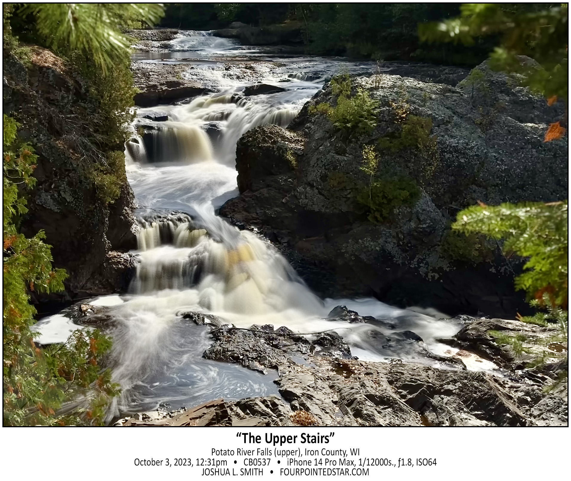
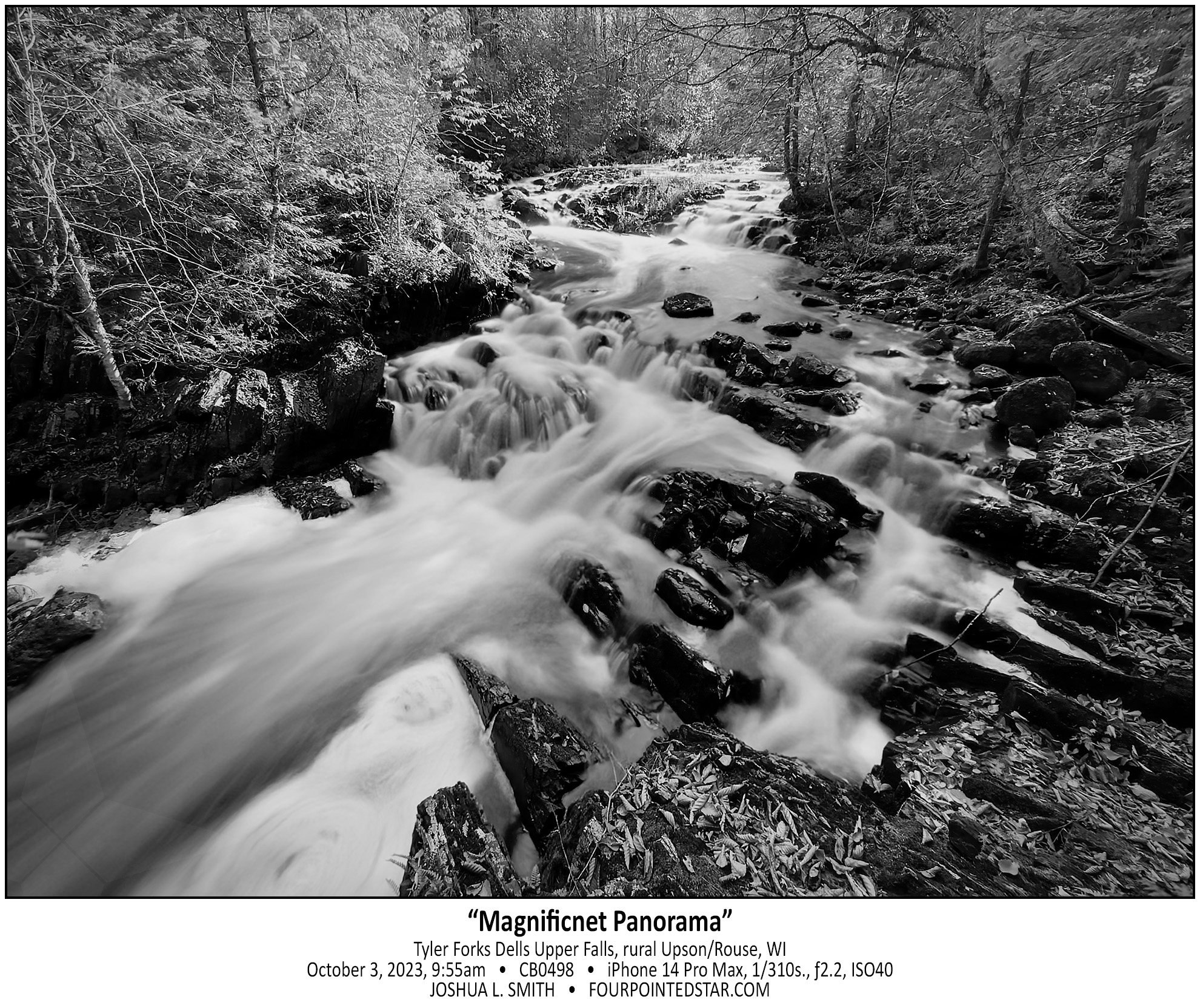
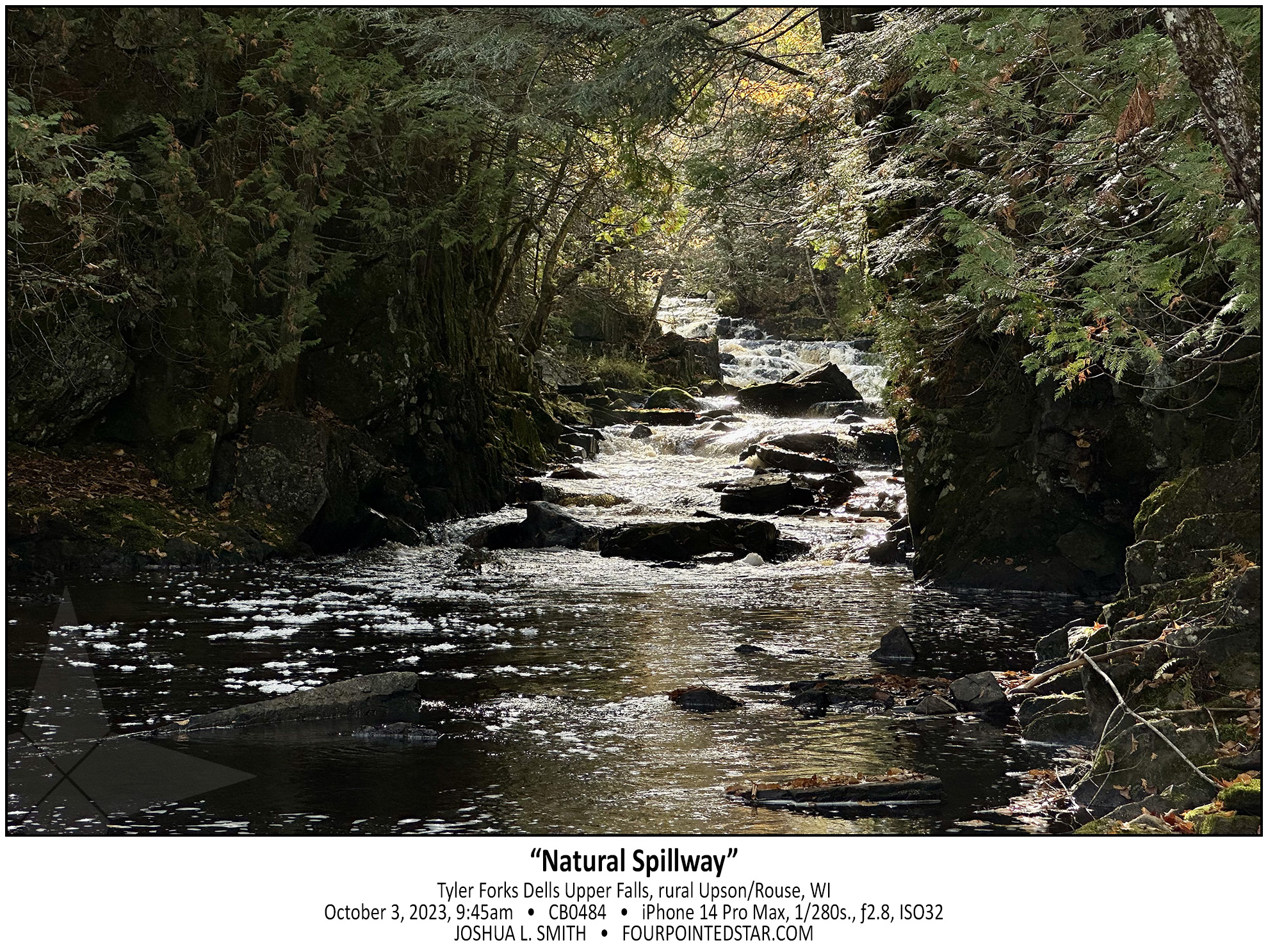
As I crested the hill so that I could see the rapids behind, I was literally awestruck by the view of Tyler Forks Dells Upper Falls. I gasped something like “that’s incredible!” as the scene came into view. The guide that I had stated “a series of small rapids forming an S curve”, but did NOT prepare me for how beautiful the Upper Falls are. The falls at the rear of the image are probably 200-250 feet away, which provides you with a sense of how expansive this view is. Although, you can’t tell it in this monochrome, the pops or orange leaves on the dark rocks, the yellow foaming water, and the sunlight illuminating the far side of the river added to beauty.

CB0484 231003 094527

As I walked up from the lower falls which were not very impressive but were very easy to get to; I realized that the land was increasing in height but the river was not. And as this break in the stone cliff came into view, I could tell that Tyler Forks Dells might be quite the sight. But first I had to cross this rock wall that was maybe 15 or 20 feet high.

CB0473 231003 093656

BZ4527 231003 084706

Upson Falls tumbles over the cascade of rocks and immediately makes a sharp right turn downriver. That sharp turn allows for this spectacular view with the sun rising “up river” and the wonderfully rich hues of morning.

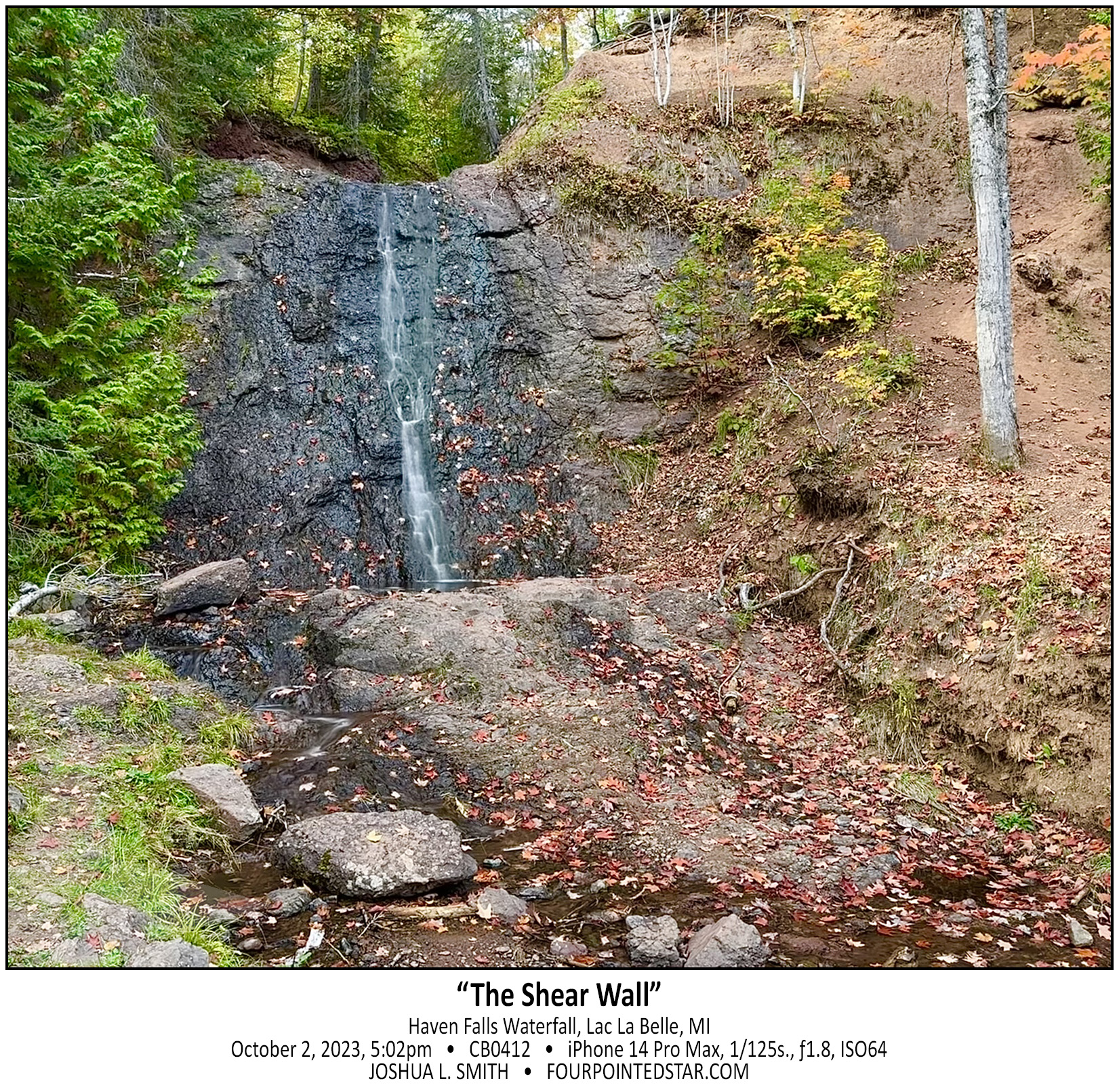
CB0412 231002 170232

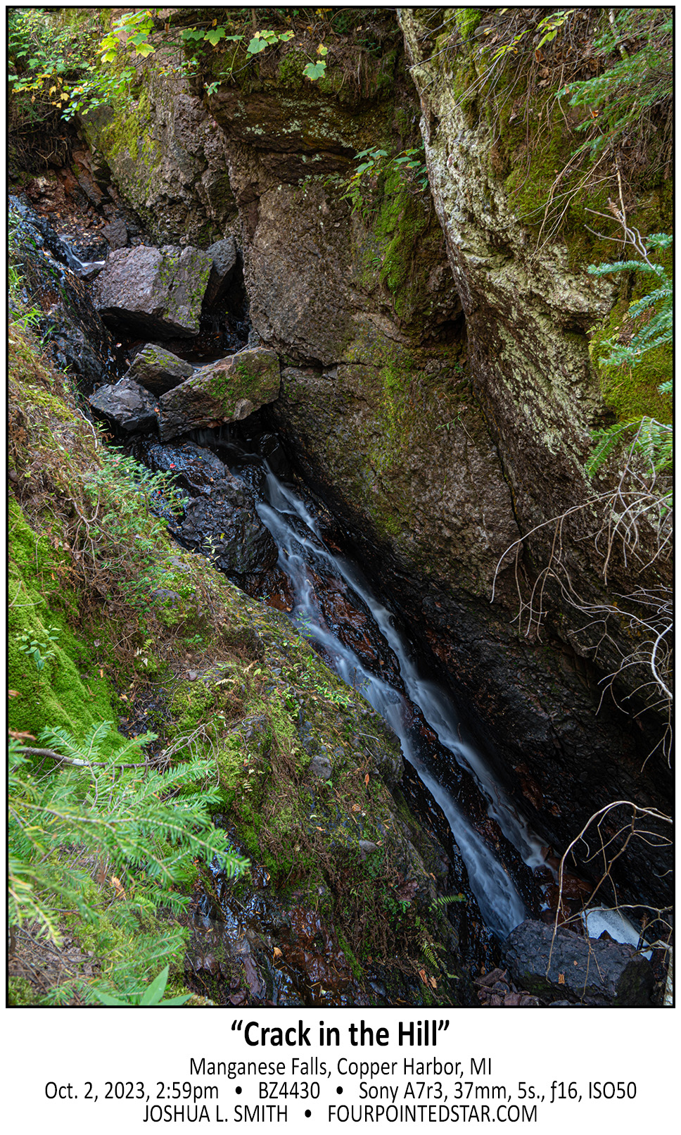
BZ4430 231002 145938

The Keweenaw Peninsula does not have much land area for large rivers to form, and this is reflected in some of the waterfalls. Manganese Falls is a very steep fall, but the stream is only 10-12 inches wide.

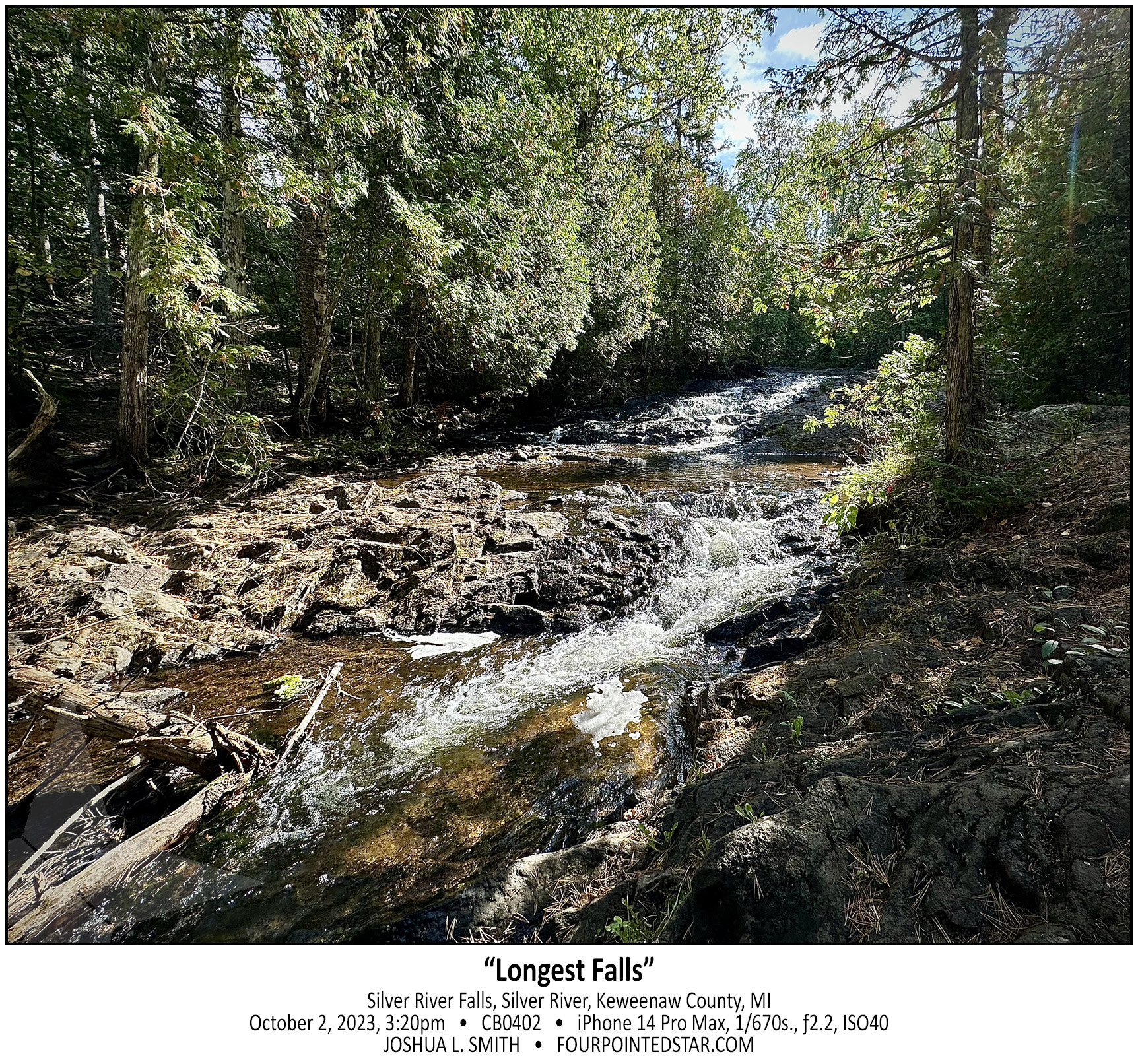
CB0402 231002 152018

Silver River Falls is another very accessible waterfall. Michigan Highway 26 crosses over the Silver River and there is information describing the falls and the bridge along with some parking. However, Silver River Falls isn’t one cascade; it is a series of several small cascades spread along a few hundred feet of the Silver River. This photo was taken 150 feet or so down the river and there were more cascades further downriver as well.

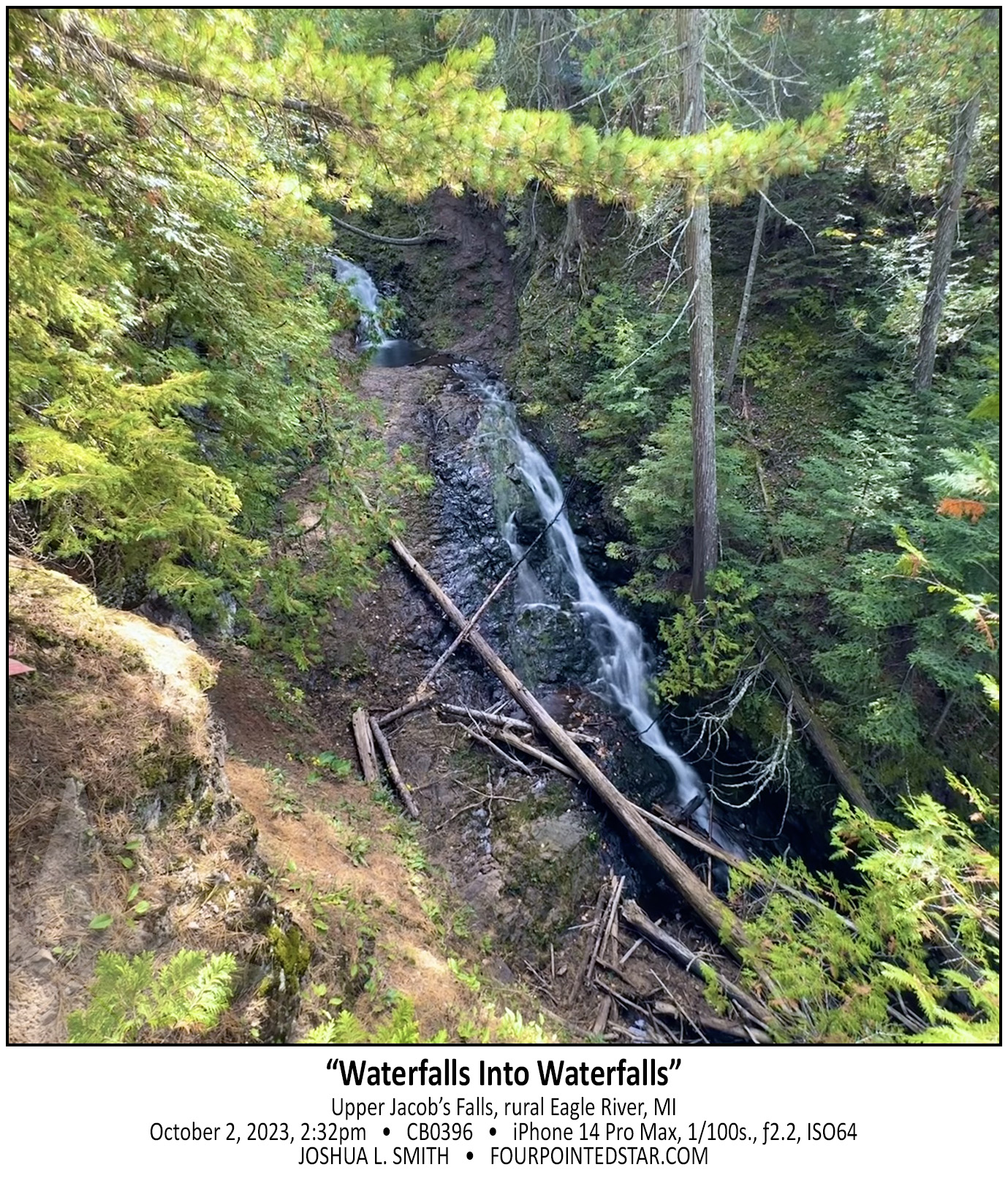
CB0396 231002 143242

As you climb up the hill beside Jacob’s Falls, the question may cross your mind: “does this all count as one waterfall?” And that is a question that I have wondered many times; how much of a stream’s length must exist between cascades of water before they are considered distinct falls?

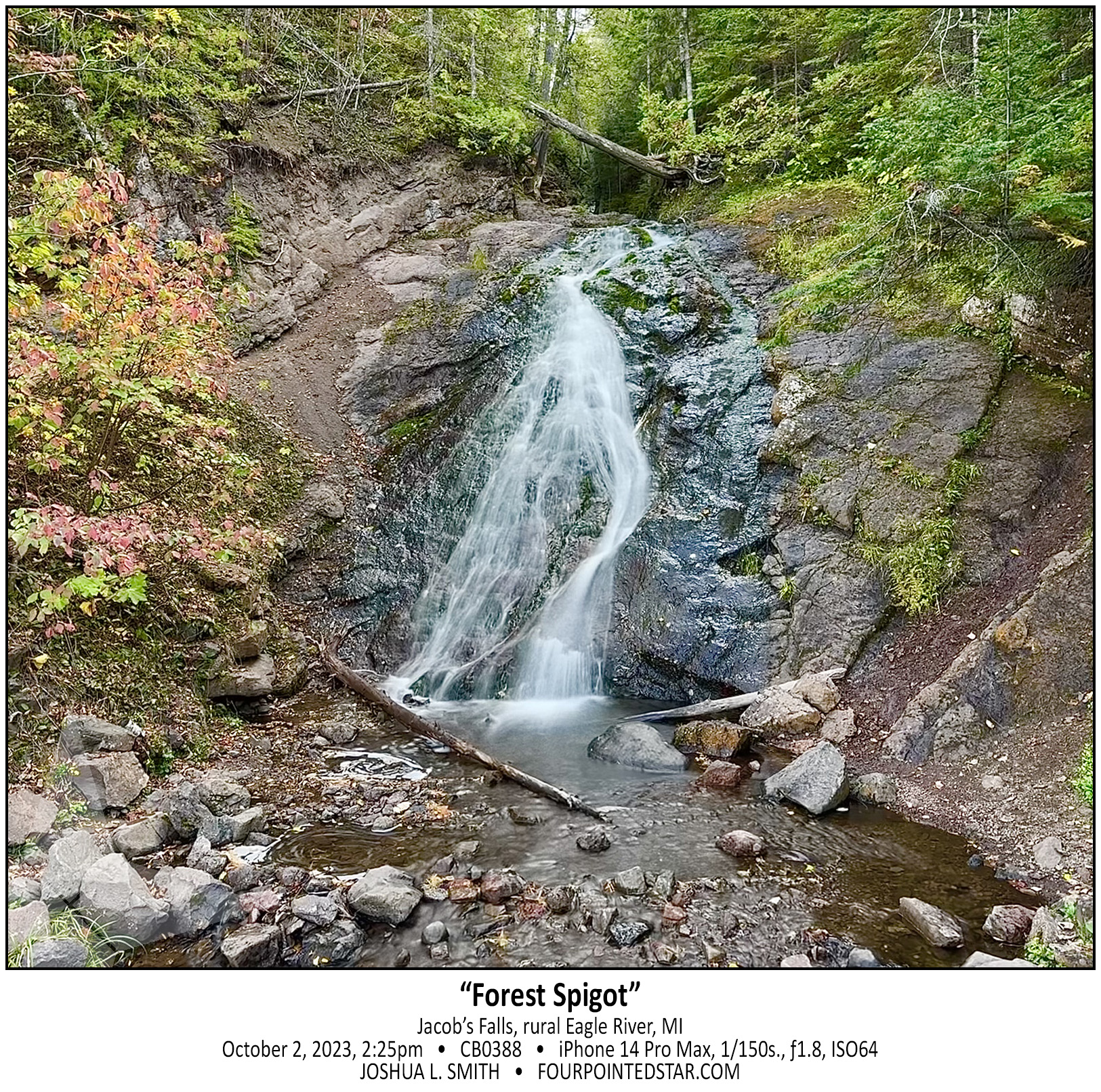
CB0388 231002 142544

Jacob’s Falls is kinda the perfect Upper Peninsula waterfall. It’s small and unassuming, but literally 20 feet away from the edge of the road. There would be people like myself who would search it out if it were hidden in a forest, but really, the reason that it has a name is because of the highway.

CB0386 231002 141057

You can easily view this dam and falls from a pedestrian bridge over the Eagle River, and as I stood on that bridge, I was impressed by the manmade dam that has stood for (I assume) nearly a century or more. But I was also saddened that I will never see this waterfall tumbling down the rock face with the intensity that nature intended.

CB0378 231002 140358

You can imagine the monstrous noise that this small drop would create during the spring flow, but on a random day in early October it’s a peaceful and tranquil scene.