Tagged: waterfall

See, the problem with guidebooks is that you don’t know how up to date the information is in the years since the book was published. Maple Creek Falls DEFINITELY needs an update in the guide books; the two descriptions that I saw both describe driving up to the bridge over Maple Creek. That trail (road is way too generous) is gated off about 1.5 miles and the trail is a dead end right after the bridge.

So I walked in; the sign only said “no ATVs”. Once you get to the bridge, that’s when it gets fun. There is only muddy walls and rock faces; I suppose that you could use a rope to gain access to the stream, but I have to imagine that one land-of-questionable-ownership, repelling into a creek is also questionable.

So I crawled/walked/slid down what appeared to be a path; looks can be deceiving. The path gave way about 10 feet above the bottom, and I mostly slid the rest of the way down. The guide books said “you can hike along the creek bed”, but it’s not quite a safe walk either. And with no one with me and not a shred of cell phone coverage either… it was far too risky. So up the sliding pathway I needed to traverse; about 35 feet up a 60 or 70 degree slope in mud on slate rocks with barely a root to hold onto.

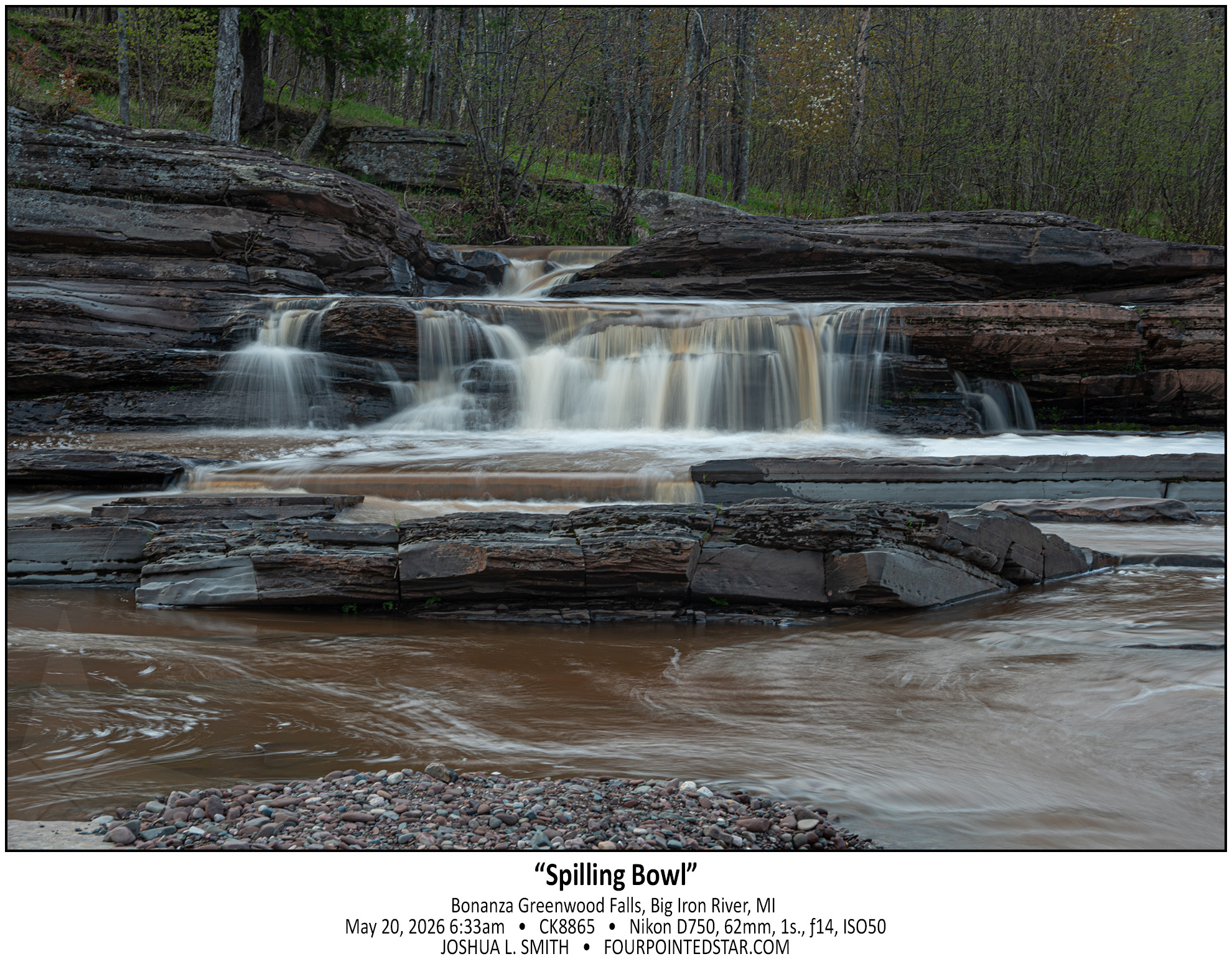
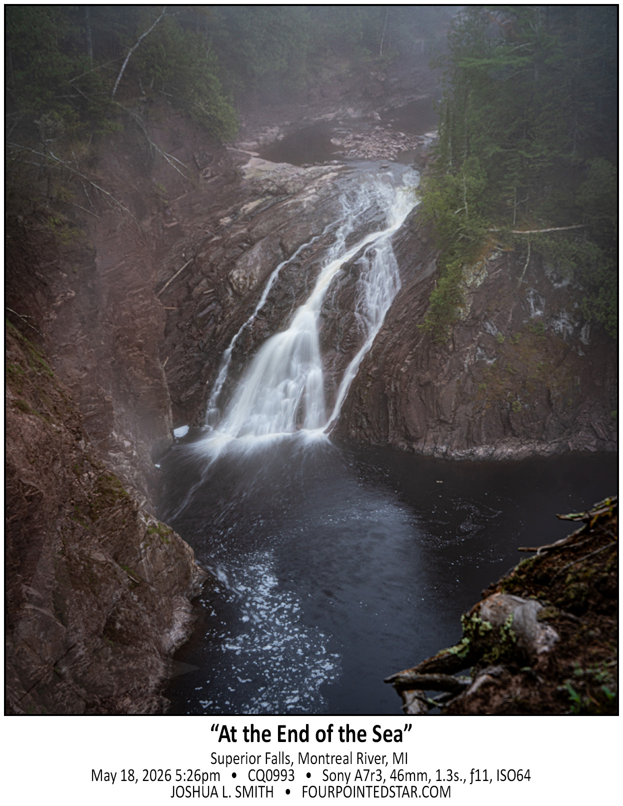
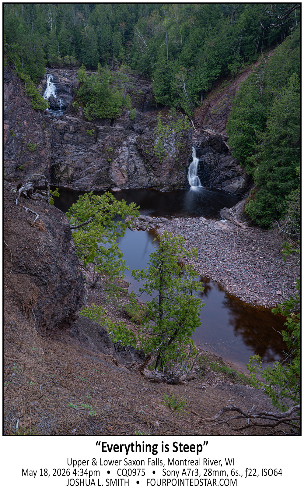
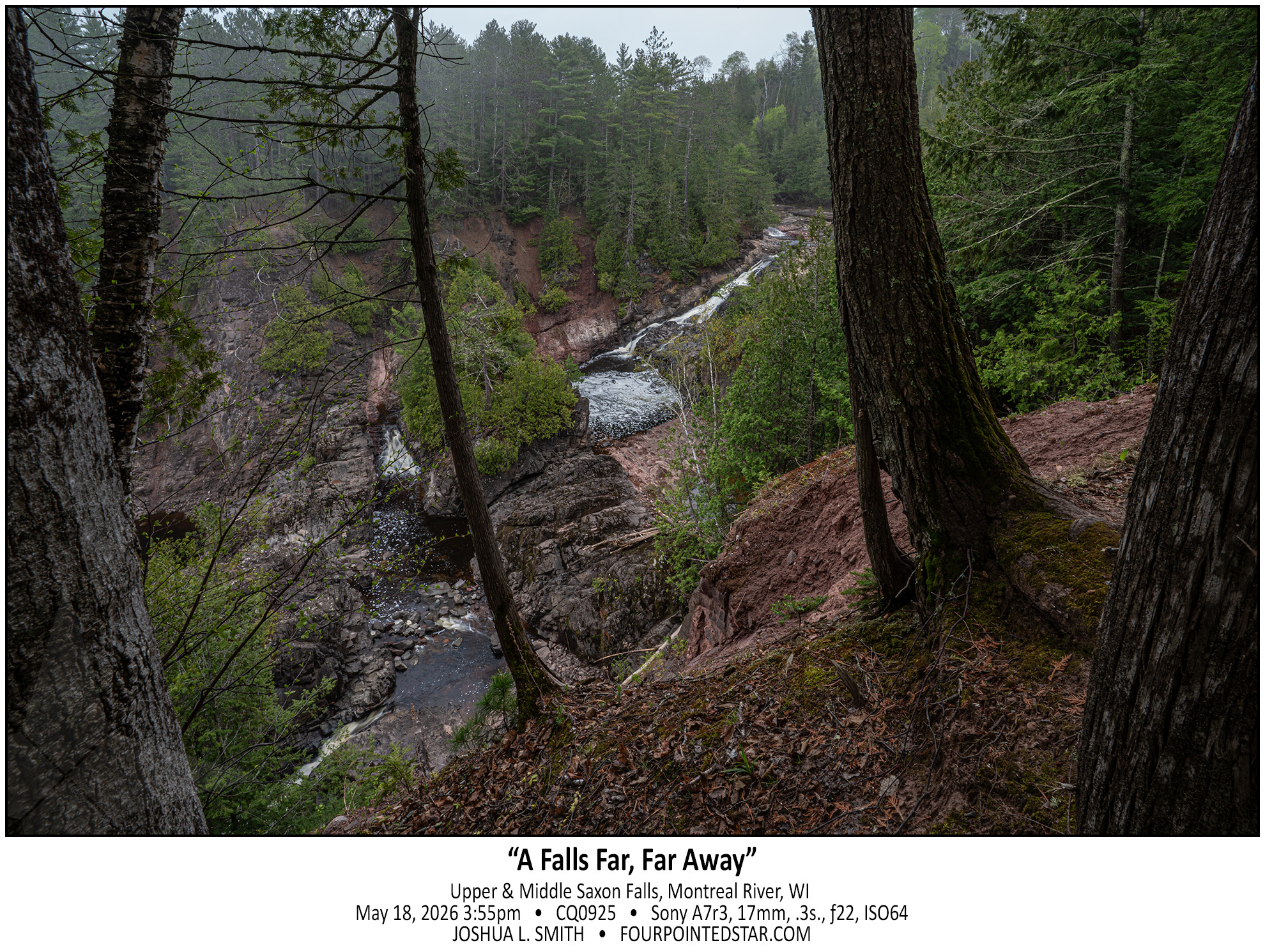
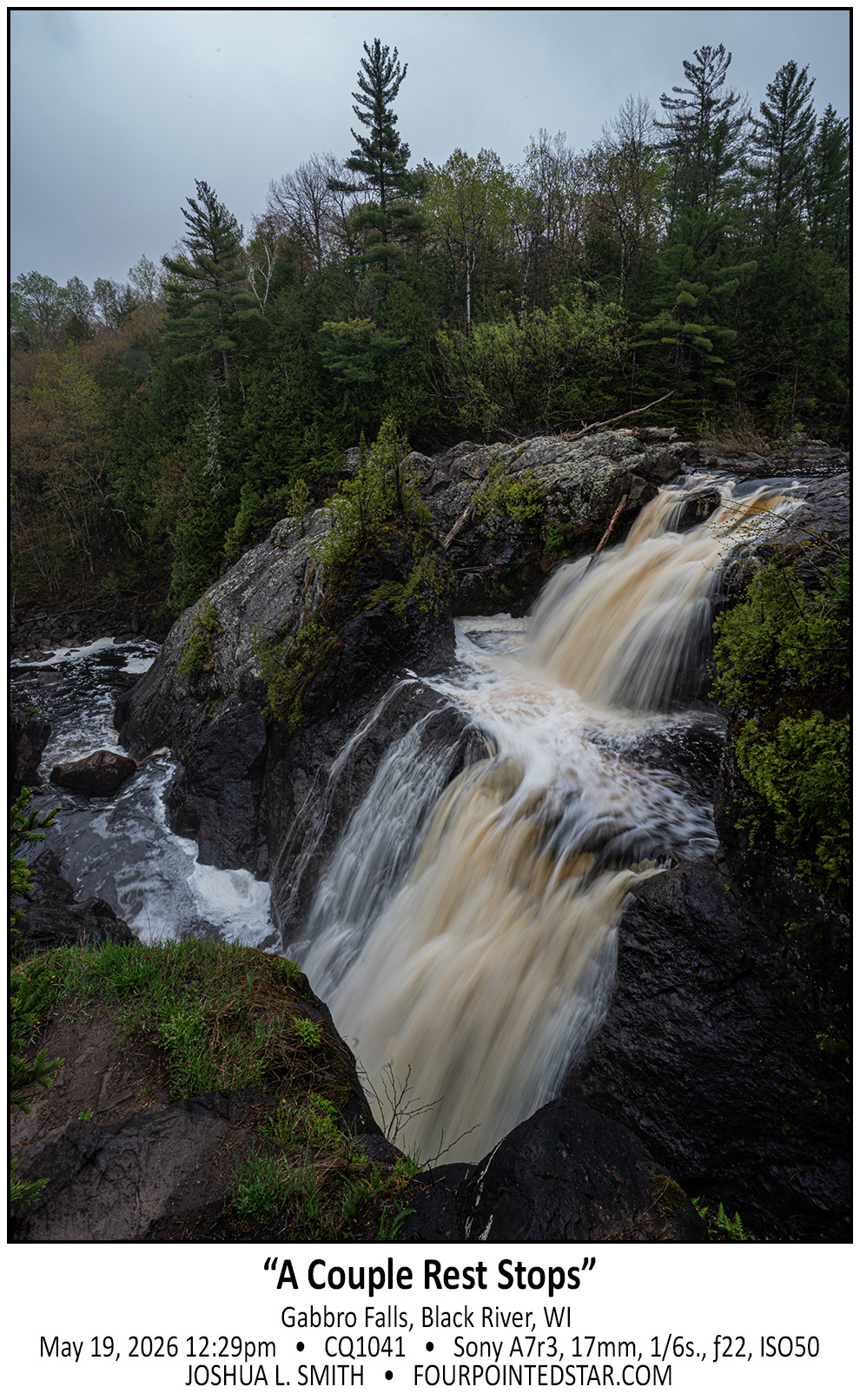
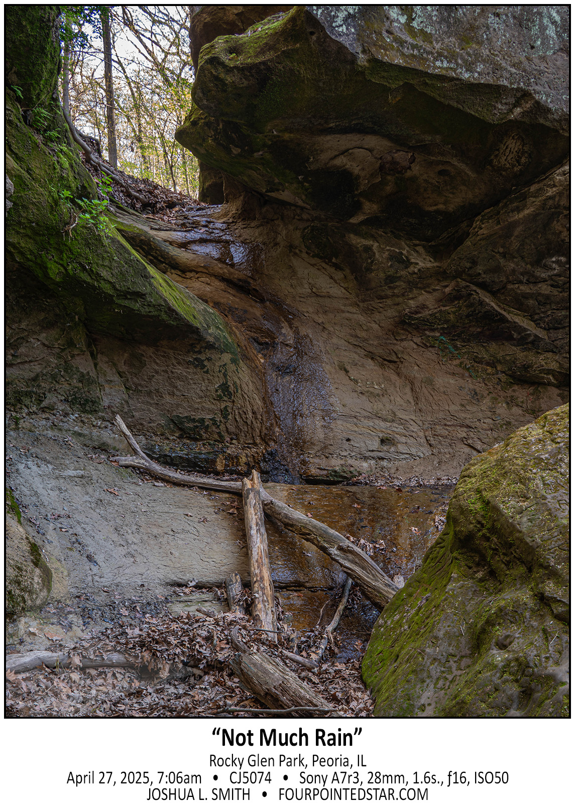
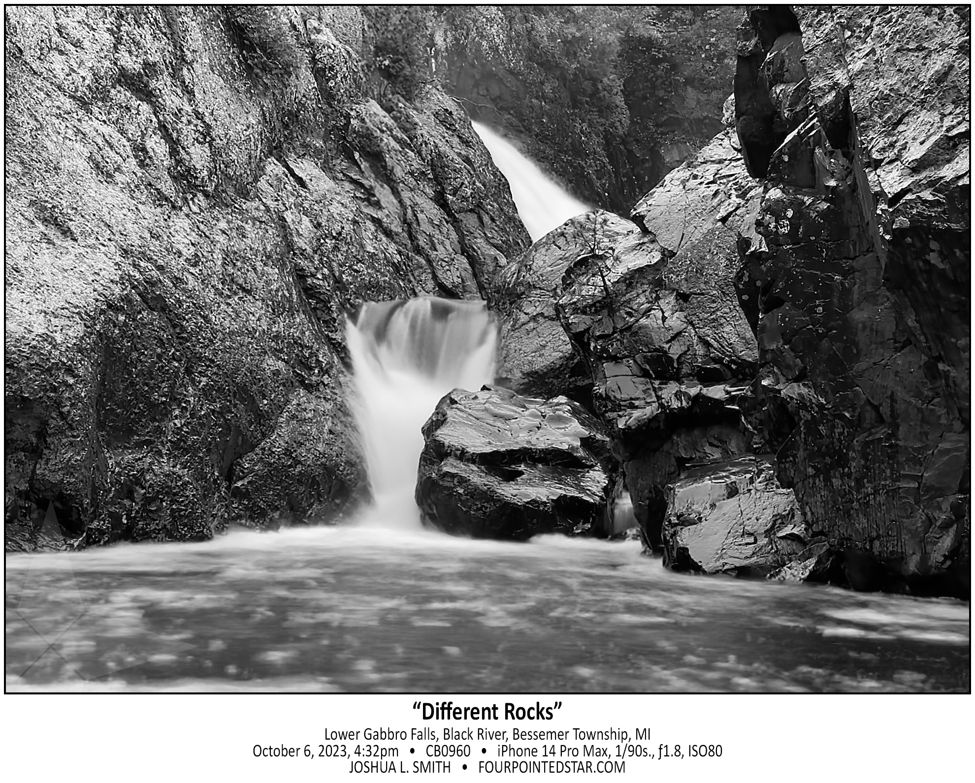
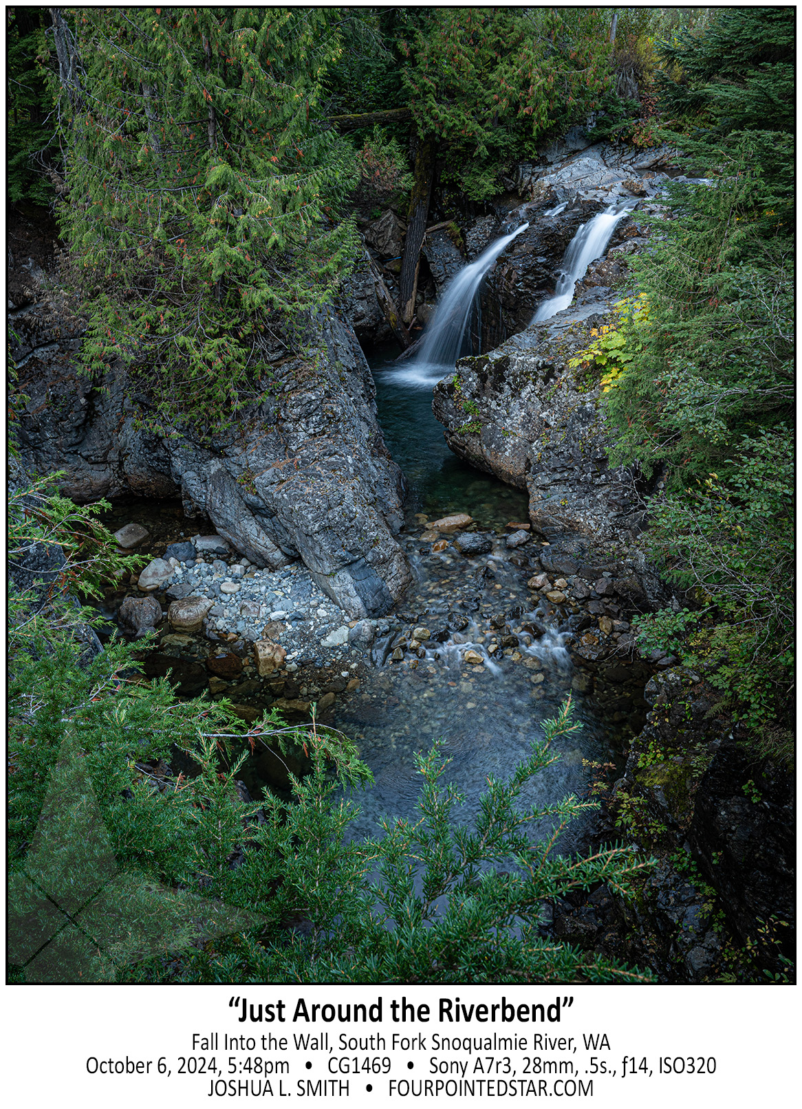
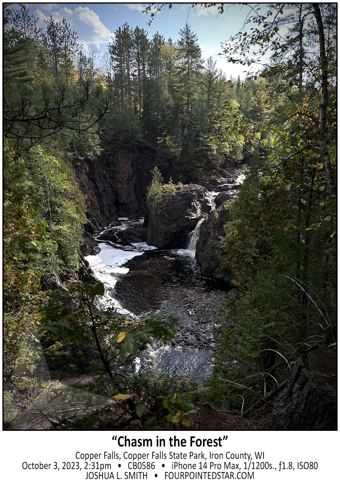
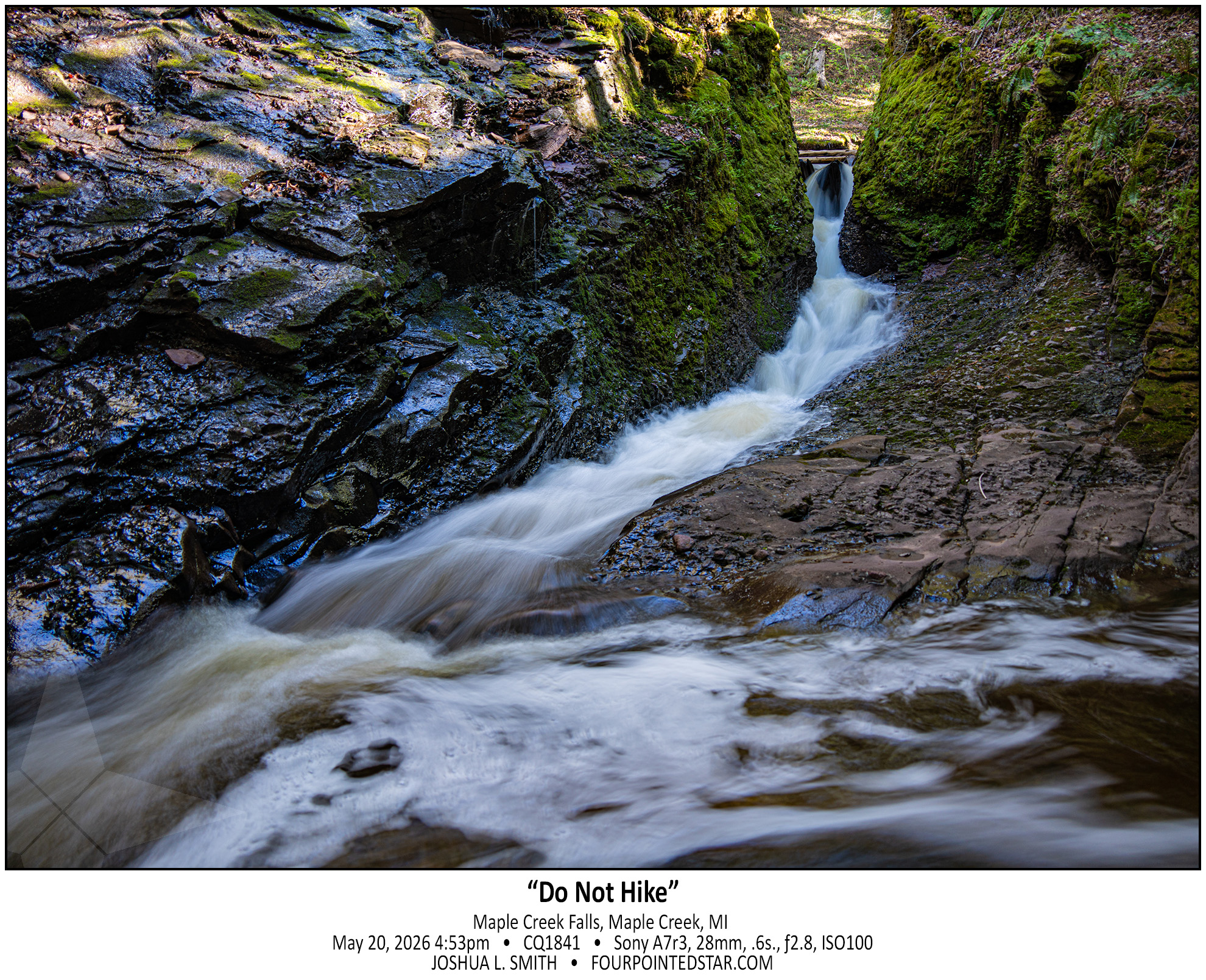
I made it back up, and I definitely want to go back … there’s supposedly six to eight more falls. And don’t let the photo deceive you; that slot canyon that the water is using as a creek bed is about 2 feet wide, super steep, and maybe 30 feet long with a 15 foot rise. It is not for beginners, which is why I need to go back.


(go read O Kun de Kun Falls…)
But Konteka Falls has no great vantage point, no easy lookout, and there’s not even a spot to see the entire falls from anywhere downstream. On the west side, the trail side, there’s an eight or ten foot drop-off from footpath to the river. Perhaps you could get a drone in there, or there’s a spot on the path downstream that you could enter and walk upstream, but overall, there’s only 1 vantage point to see the falls.

And I think that makes the falls even more fun…


O Kun de Kun Falls is the obvious star of the hike, a narrow 1.3 mile path through dense forest. But right before you get to the falls, you encounter a fork in the trail to Konteka Falls. O Kun de Kun Falls has relatively easy paths to see the falls from various angles, and it even has a foot bridge over the river just downstream. It’s honestly a very pretty waterfall…


Victoria Falls is DEFINITELY a waterfall, but also definitely artificial. If you look at a satellite view, you can see the concrete base to the spillway that leads to the falls, and if you look at my photo you can see the concrete wall for the spillway. Also quite a few people online have mentioned that Victoria is often dry; obviously not when we visited!


I saw the tag for Bonanza Falls on Google Maps, and it was literally 500 feet off the highway we were on, so it was an easy stop. I’ve seen photos of the falls covering the entire width of the river, but on the morning we stopped by it was only running on the far left and far right.


As we approached the Lake Superior coast, a dense fog set in. When we parked near Superior Falls, the fog hung heavy over the falls; from our vantage point, the view was uncomfortable … it felt like we were 90 feet in the air standing on the edge of a precipice as the fog undulated covering and revealing the river and falls.


Have you ever started a project and realized halfway through that … maybe this wasn’t a great idea … but inside you know that you’ll finish it?

I bought a waterfall book and the directions to the Michigan side of Saxon Falls were outdated; there was now a barbed wire fence along the path indicated by the book. But if you view Saxon falls from the Wisconsin side, you can’t see anything but the top 5 feet of the lower falls (second photo)… so I was determined, and we found a way to get a wonderful view of Lower Saxon Falls.

However, from this alternate location, you can’t see the middle falls which is implied in the first photo by the elevation change between the upper and lower falls.

Anyway, if you choose to hike to see the view of Saxon Falls from the Michigan side, you may end up with a bit more of a scary hike then you’d planned and gather a half dozen ticks in the process.


When people ask, I tell them that I “collect waterfalls”.
I guess that it could be more accurate to say that I visit waterfalls; after all, I rarely stay at them for any length of time… but I say “collect” since I only count waterfalls where I can take a photo and where the water is running (even if I can only hear the water running, like a recent waterfall in Southern Illinois.)

I visited this segment of the Montreal River back in 2022 to see Interstate Falls. As you walk to Interstate Falls, you can hear the water rumbling from Petersen Falls, but if you walk upstream from Interstate Falls, you’ll see this small rapids, cascade, and falls that you miss on the path from Peterson to Interstate.

I absolutely love the look of this photo, and it may well be my second favorite photo from this trip.


Honestly, I don’t visit waterfalls twice very often; there are a few local waterfalls that I’ve visited more than once, but most locations I take photos of and then move onward to the next spot where the water and the land had a disagreement.

Rainbow Falls’ east vantage point is spectacular; you stand on an outcrop of land about six or eight meters above the downstream portion and roughly eye level with the upstream portion. The Black River has carved two paths down the falls, equally treacherous, and from that vantage point, you really need a wide angle lens to capture the scene and stream. If you walk a bit further south on the trail, you can see where the Black River is slowly carving out a new falls and a new path.


If you visit Bond Falls and you only view it from downstream it can be a little … boring? But, if you take the time to climb up beside the falls on either side (don’t worry, the falls has concrete barriers to hold the water in), you’re greeted by these beautiful vignettes. Viewing the entire falls is … just a bunch of water flowing over a hillside, but walking along the side or even walking downstream will bring you closer to nature and the forest.

What makes a waterfall a “waterfall”? Jelkes Creek doesn’t have enough elevation change to create a falls through its meandering path in Sleepy Hollow and Dundee Township to create much besides bogs and marshes. I would guess that this damn & spillway were created as a control point for Jelkes Creek as it flows under Hwy 31. What I find most interesting is that I’ve driven by Lake Beatrice for over 15 years and missed that this spillway existed the entire time.

.

.


CJ5074 250427 070642


Someday I’ll learn my lesson, only go waterfall chasing after a nice healthy rain!  Rocky Glen in Peoria has a nice vertical hike over a hill and into the valley to reach the waterfall; in the second photo you can see the massive boulder that the water flows underneath after dropping down the cliff face – yes, the same boulder with the carvings & graffiti.

CJ5074-2 250427 070642

…view older images with the thumbnails below…


Waterfalls Map

April 27th, 2025

Wisconsin Waterfalls

Several years ago, I came across a map showing “all” of the waterfalls in Wisconsin – a simple PNG file with an accompanying table listing 90 or so dots in Wisconsin. I attended college in Marinette County and knew that there were several close by, but after seeing that map, I decided to visit all of the listed falls. While you can still find the map online, the accompanying table has been lost to the depths of the internet, and it was years before I was able to find a similarly detailed list online of Wisconsin’s waterfalls.

As for visiting all 90, children and moving to Illinois in 2008 derailed those plans; however, each time that we plan a trip we ask the question “are there waterfalls nearby? And as I visit and photograph each waterfall, it gets added to the map above.  (Each segment of thumbnail photos below represents a different state.)

Which of course, brings up the question “What would you consider a ‘waterfall’?” I have included everything from rapids where the water falls to completely artificial waterfalls over manmade damns. I’ve also included a guide to identify the “nature” of the waterfall: (A) – Artificial, not only was the waterfall manmade, but it uses artificial means to move the water up in order to come down. (M) – Manmade, while the water flowing over is from a naturally occurring stream or pond, the fall itself is over a manmade barrier or the stream was redirected to create the waterfall. (N) – Natural, as near as I can tell from research or observation, the waterfall is largely created by a stream’s path and natural erosion.

Lastly, Bob Schneider of Waterfalls Wisconsin lists more than 600 locations on his website and most of them are listed in his guide. From my searching, he has by far the most extensive list around for Wisconsin.


1.     Piers Gorge (N) 2.     Eau Claire Dells (N,v) 3.    Grandfather Falls (N)
***    Marinette County Waterfalls 4.    Dave’s Falls (N) 4a.    Lower Falls, Dave’s Falls (N)
4b.    Upper Falls, Dave’s Falls (N) 5.    Long Slide Falls (N) 6.    Smalley Falls (N)
7.   Veterans Memorial Park Falls (N) 7a.   Veterans Falls (N) 7b.   Veterans 3ft. Falls (N)
7c.   Veterans Falls Lower (N) 8.   Cascade Falls (N) 9.   Willow Falls (N)
10.   Horseshoe Falls (N) 11.   12 Foot Falls (N) 12.   18 Foot Falls (N)
13.   8 Foot Falls (N) 14.   Bull Falls (N) 15.   Pewit’s Nest Falls (N)
16.   Parfrey’s Glen Falls (N) 17.   Grant Park Falls (A) 18.   Devil’s River Falls (N)
19.   Nachtwey Falls (N) 20.   Wequiock Falls (N) 21.   Sheboygan Falls (N)
22.   Root River Falls (N) 23.   Sauk Creek Falls (N) 24.   Menominee Falls Waterfall (N)
25.   Estabrook Falls (N) 26.   Stephens Falls (N) 27.   Pine Cliff Trail Falls (N,v)
28.   Cox Hollow Falls (M,v) 29.   Big Falls (N) 30.   Hayman Falls (N)
31.   Lower Baird Creek Falls (N,v) 32.   Fonferek Glen Falls (N) 33.   Cato Falls (N)
34.   Big Smokey Falls (N,v) 35.   Tea Kettle Rapids (N) 36.   Ledge Rapids (N,v)
37.   Upper Wolf River Dell Falls (N,v) 38.   Lower Wolf River Dell Falls (N) 39.   Sullivan Falls (N)
40.   Ducks Nest Rapids (N) 41.   Ducks Nest Falls (N) 42.   Upper Baird Creek Falls (N)
43.   Middle Baird Creek Falls (N) 44.   Spring Cave Waterfall (N) 45.   Cedarburg Falls (N)
46.   Durward’s Glen Waterfall (N) 47.   Devil’s Punchbowl (N) 48.   Lost Falls (N)
49.   Roaring Creek Waterfall (N) 50.   Perry Creek Waterfall (N) 51.   Rock Dam Falls (N)
52.   North Bend Upper Falls (M) 53.   North Bend Lower Falls (N) 54.   Trout Falls (N)
55.   Lake Redstone Falls (M) 56.   Baxter’s Hollow Rapids (N)


1.     Chicago Botanic Gardens (A) 2.     Starved Rock State Park (N) 2a.    St. Louis Canyon (N)
2b.    French Canyon (N) 2c.    Wildcat Canyon (N) 2d.    LaSalle Canyon (N)
2e.    Kaskaskia Canyon (N) 2f.    Tonti Canyon (N) 2g.    Ottawa Canyon Waterfall (N)
2h.   Illinois Canyon (N) 2i.   Aurora Canyon (N) 2k.   LaSalle Canyon Upstream (N)
3.   Matthiessen State Park (N) 3a.   Matthiessen Cascade Falls (N) 3b.   Matthiessen Giant’s Bathtub (N)
3c.   Matthiessen Lake Waterfall (N) 4.   South Elgin Waterfall (N) 5.   Waterfall Glen Forest Preserve (M,N)
5a.   Waterfall Glen Main Falls (M) 5b.   Bluff Road Falls North (N) 5c.   Bluff Road Falls South (N)
5d.   Upper Rocky Glen Waterfall (N) 6.   Huntley Del Webb (A) 7.   Rock Creek Waterfall (N)
8.   Prairie Creek Waterfall (N) 9.   Delnor Woods Waterfall (M) 10.   Thunder Bay Falls (M)
11.   Apple Canyon Falls (M) 12.   Fox Bluff Waterfall (M) 13.   Anderson Japanese Gardens (A)
14.   Fel Pro RRR (M) 15.   Lake Katherine Waterfall (A) 16.   Jackson Park Waterfall (A)
17.   Lake Marmo Spillway (A) 18.   Sun City Huntley Stream (A) 19.   Sagawau Canyon Waterfall (N)
20a.   Fraction Run Lower Falls (N) 20b.   Fraction Run Upper Falls (N) 21.   Rocky Glen Waterfall (N)


1.   Hocking Hills Waterfalls 1a.   Whispering Cave 1b.   Ash Cave
1c.   Cedar Falls 1d.   Old Man’s Creek First Falls 1e.   Old Man’s Creek Upper Falls
1f.   Devil’s Bathtub 1g.   Old Man’s Creek Lower Falls 1h.   Rockhouse Cave Waterfall


CJ3958 250405 094100


CJ0547 250209 105325

CJ0537 250209 104624


CF9084 240929 152229

There is something fascinatingly unattractive about this photo. It’s not that humans have ruined a scene – so many beautiful vistas are ruined by power lines, trash, or other remnants of humanity. No, this is just the backwater area of a creek that is very low right now; as you’ll see in a photo later in this series, barely a trickle.

The stone wall is muddy and inaccessible, and the water was murky and dirty. But I still love the location and the reminder that not everything is pretty – and it doesn’t have to be either.

…view older images with the thumbnails below…


CF9068 240929 152151

If you visit the lower area of Matthiessen State Park, you can walk through a naturally carved tunnel on the left side of the canyon to get a unique view of the waterfall and cliff face. While I was standing there, I felt like this was my little hiding place, so I edited this monochrome image to match that feeling.

…view older images with the thumbnails below…


CF9050 240929 150607

I first visited Matthiessen State Park back in 2014 on a day that I photographed 4 of the waterfalls at Starved Rock as well. You can see how sunny it was in quite a few of the photos, but the sunshine made it almost impossible to get a longer exposure of Cascade Falls – that is, until a cloud drifted overhead. The same thing happened throughout the day on this trip to Matthiessen; the clouds drifted overhead allowing for some longer exposures.

…view older images with the thumbnails below…


BZ7913 231007 182229

BZ7883 231007 175501


CG6990 241116 103823(1)

BZ7873 231007 173152

BZ7698 231007 165421

BZ7643 231007 152527

BZ7595 231007 150646

BZ7565 231007 145905

BZ7533 231007 123845

CB1037 231007 131225

CB1019 231007 111939

BZ7265 231007 114457

BZ7042 231006 101040

BZ6887 231007 073135

CB0969 231006 171125

CB0964 241006 170015

CB0960 231006 163233

BZ6796 231006 161435

CB0954 231006 153837

CB0948 231006 152736

BZ6381 231005 135621

BZ6210 231005 113540

BZ6161 221005 112439

BZ6130 231005 112016

BZ6216 231005 114033

BZ5841 231004 155808

BZ5791 231004 142342

BZ5786 231004 134617

BZ5712 231004 132641

BZ5673 231004 115639

BZ5629 231004 110408

BZ5557 231004 100306

BZ5539 231004 095623

BZ5489 231004 094514

CB0684 231004 093814

BZ5384 231004 085728


CG2328 241008 183225

CG1469 241006 194820

Fall into the Wall was the the best waterfall that we visited on our trip to Seattle. This waterfall is tucked in-between the East and West-bound traffic of Interstate 90 near Snoqualmie Pass. In fact, just out of the top of my photo is the eastbound traffic. Despite being within earshot of the interstate traffic, the setting was perfectly serene. The side road that offers this view is about 20 feet higher than the creek bed and offers wonderful views of the otherwise nearly inaccessible falls. If dusk had not been approaching, I would have stayed for far longer enjoying the horseshoe bend.

CB0674 231004 085740

CG1458 241006 192021

CG1334 241006 174701

CB0672 231004 084828

CG1243 241006 161518

CG0222 241004 172503

CB0667 231004 073953

CG0164 241004 170634

CB0651 231004 072608

CB0612 231003 170659

CB0604 231003 165837

CB0593 231003 150619

CB0589 231003 144112


CG0043 241004 141957

This series of falls reflected an incredible decrease in elevation. This is the last segment of large falls, but there is significant series of rapids and cascades even further down the stream and the entire area is filled with incredible sights and scenes.

CB0586 231003 143120

CG0011 241004 141558

As we drove out of the woods, I realized that we could park alongside the road and see a part of the falls. Then once we walked to the bridge over the stream, you could see a walkway under the bridge, so of course, I climbed down to the walkway to capture this photo!

CE6348 241004 141320

Before our October 2024 trip to Seattle, I bought a “Washington Waterfalls” book and picked out a couple of sets of easy hikes. Our first waterfall adventure was to visit a few that were along Hwy. 2, and at our first stop, the parking lot was closed. After looking at the map, I realized that there may be a different way to see the falls. Technically I was right…technically. As we drove up the dirt road, it got increasingly steep and less likely to lead to an accessible path.

We parked precariously, and I clambered down the hill to see if I could get a photo. The water was a crisp bluish-green, and since it was raining that morning, I was not comfortable with crawling all over the rocks like normal, but even from my vantage point, the scene was incredible.

CB0564 231003 140649

CB0553 231003 125604

CB0549 231003 125548

CF9037 240924 130356

Not only did we find a waterfall in Dellwood Park along Fraction Run Creek, we found two! This waterfall is probably widely known – it’s right on the frisbee golf path; the other waterfall is a little harder to get to. There are likely more drops as well, but they would only be accessible by walking through the stream.

I’ve written a few times about “what is a waterfall”, so I would ask – Is this 1 cascade or 30+ individual falls? 🙂

CB0541 241003 123908

CF9020 240929 125323

While I was visiting Sagawau in Cook County, one of the park employees mentioned that there may be a waterfall in Dellwood Park in Lockport.  Since I have a client in Lockport, I already knew that there was a stream in a valley in Dellwood Park, and I was disappointed that it hadn’t occurred to me that there was likely to be a waterfall in that valley.  So, the next available weekend, my oldest daughter and I went on a hike to see if we could find a waterfall along Fraction Run Creek…

CB0537 231003 123108

CB0531 231003 115907

CB0518 231003 112451

CB0509 231003 104720

Oh man, where to start? This was “the story” from this trip; I saw so many very cool waterfalls, but this one, this one was interesting to find. My only directions for this location were that you turned down this particular forestry/logging road, and then “when the road forks, take the right side; the left side is VERY muddy after it rains. Once you cross the bridge, there is a pull over on the right side…” Well, it had just rained, so as I started down the glorified two-tracker, I watched for the fork in the road.

As I drove along it got muddier and muddier, but my Traverse has all wheel drive, so I wasn’t too concerned. Then I crested a hill and there was a small pool of muddy water at the bottom. Since there were tire tracks through it already, I assumed that there wasn’t anything dangerous in the water and I proceeded down the hill, through the mud, and then up the hill. As I crested the other side, there was another depression with more mud but just a little bit wider with more mud. Over the next 3 or 4 hills, each mud hole was a bit deeper and a bit wider.

As I crossed the 6th or 7th hill, the valley below was less of a small pool or muddy water, and almost a pond. It was at this moment that it occurred to me; not only have I travelled farther then the guide indicated, but now I have to turn around and head back through all of those increasingly deep mud puddles that I just made ruts in. Using my genius intellect, I assumed that the best way to avoid being stuck was to go as fast as possible through the puddles. There was one puddle where I felt the rear wheels gripping, but not the front wheels; but in each mud puddle, the Traverse came through.

So how did I find the waterfall? As I drove back on the two-track, I saw the “bridge” … a series of railroad ties laid across the road that I’d missed because I was looking for the fork in the road first.

CB0515

And yes, my wonderful white Traverse was a bit of a mess for the remainder of the trip. 🙂

CB0507

CB0501 231003 101834

I have 3 waterfall books that indicate that there is a waterfall or at least a larger rapids on this stream, and one of the books indicates that it is easy to reach. Without climbing down into the stream and then walking under the concrete culvert, I can’t tell if there is anything upstream. I also am VERY hesitant to walk upstream without knowing or seeing some indication that the land is still undeveloped at the least. So, this rapids/waterfall/something waits for another trip.

CB0498 231003 095505

As I crested the hill so that I could see the rapids behind, I was literally awestruck by the view of Tyler Forks Dells Upper Falls. I gasped something like “that’s incredible!” as the scene came into view. The guide that I had stated “a series of small rapids forming an S curve”, but did NOT prepare me for how beautiful the Upper Falls are. The falls at the rear of the image are probably 200-250 feet away, which provides you with a sense of how expansive this view is. Although, you can’t tell it in this monochrome, the pops or orange leaves on the dark rocks, the yellow foaming water, and the sunlight illuminating the far side of the river added to beauty.

CB0484 231003 094527

As I walked up from the lower falls which were not very impressive but were very easy to get to; I realized that the land was increasing in height but the river was not. And as this break in the stone cliff came into view, I could tell that Tyler Forks Dells might be quite the sight. But first I had to cross this rock wall that was maybe 15 or 20 feet high.

CB0473 231003 093656