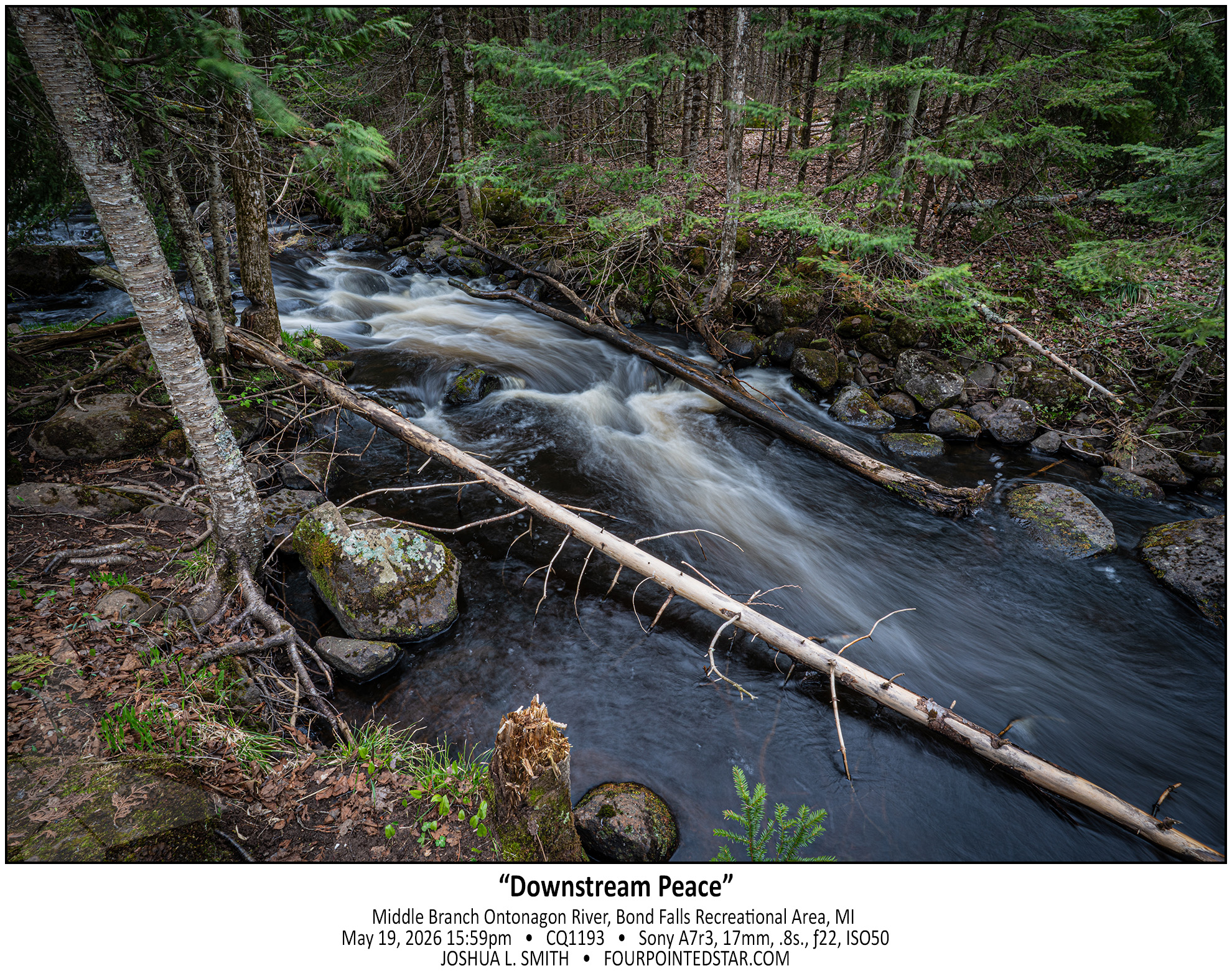
Tagged: creek

 It took me a while to figure out why these photos fit together in my mind.
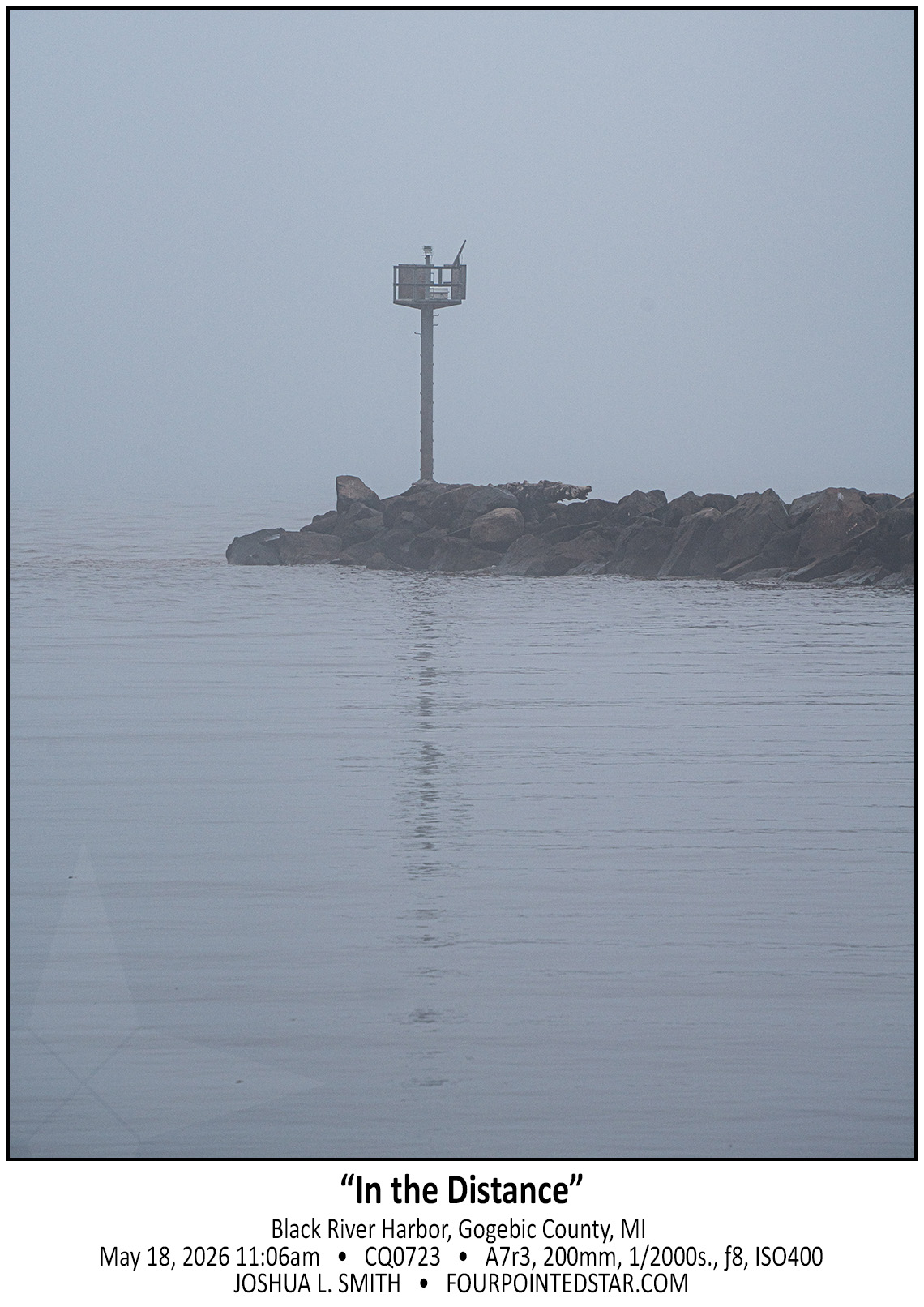
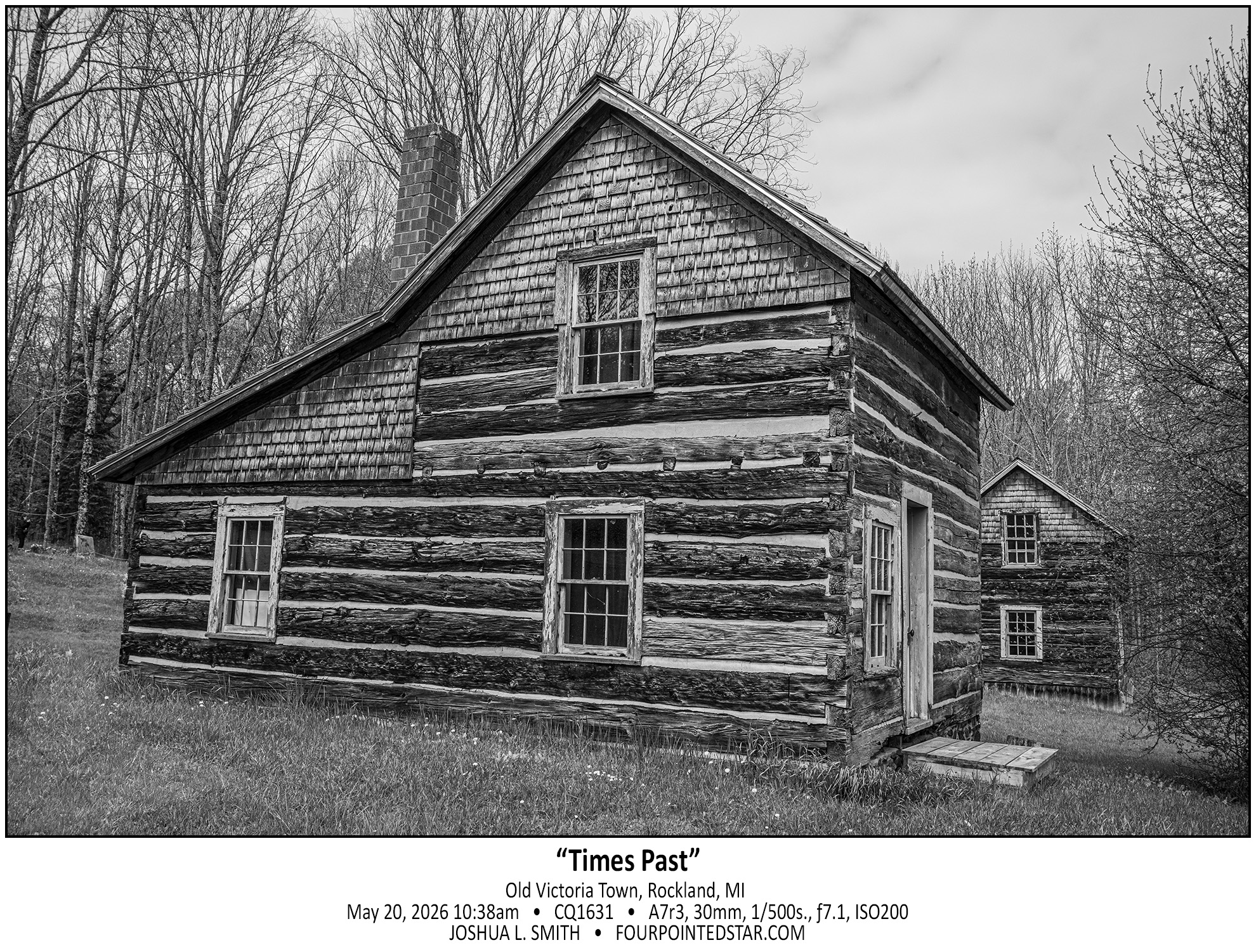
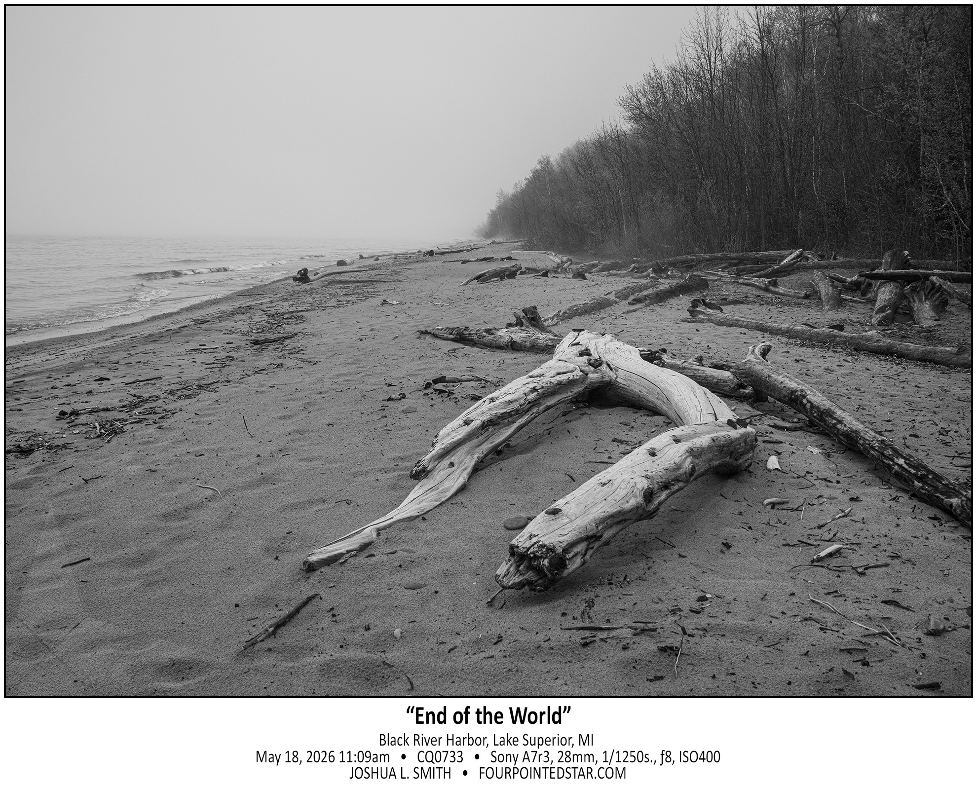
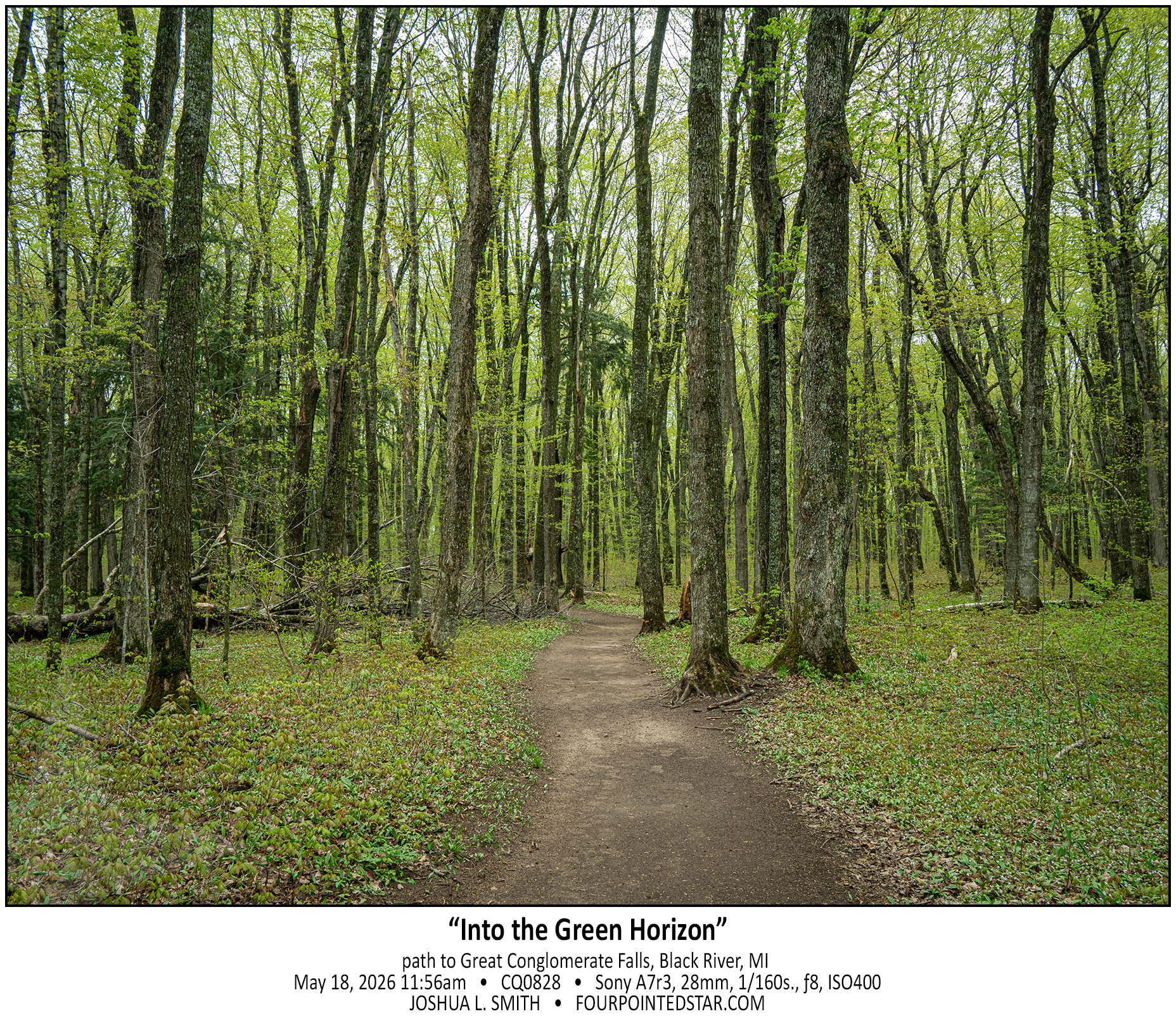
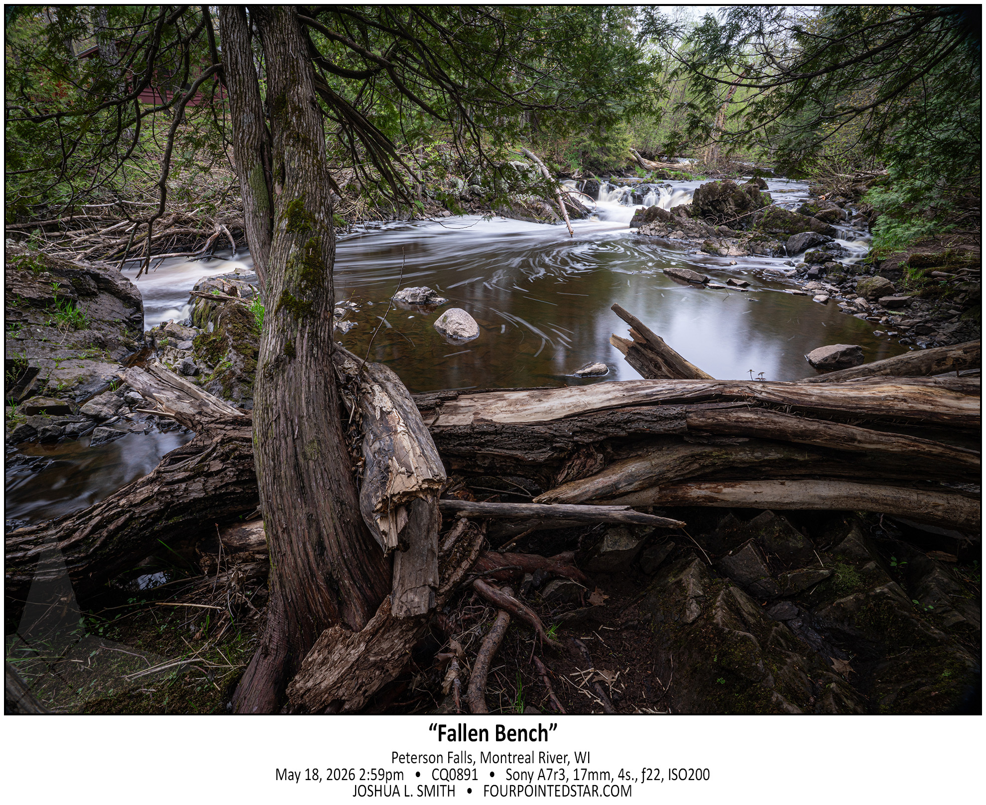
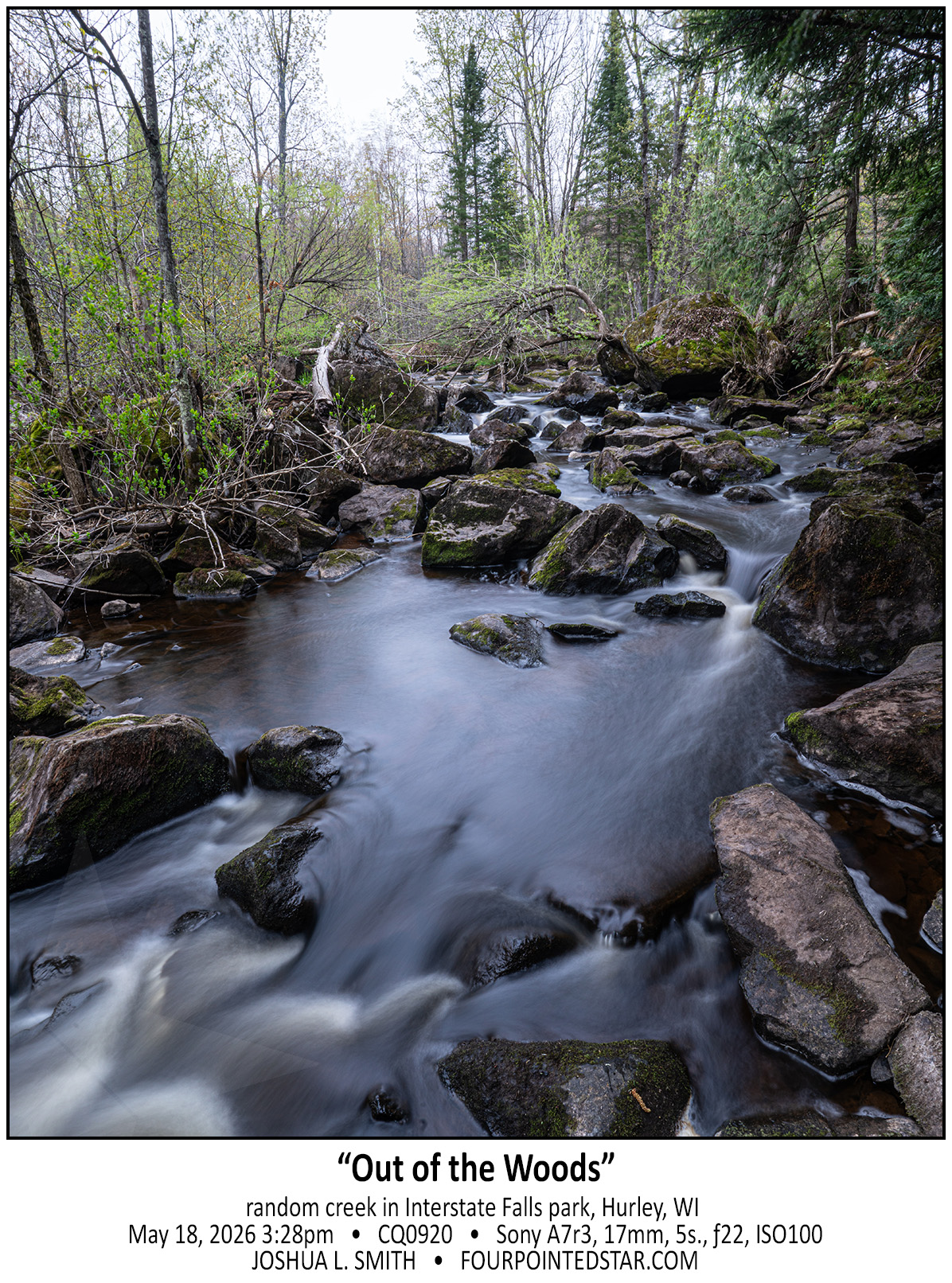
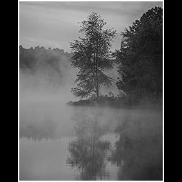
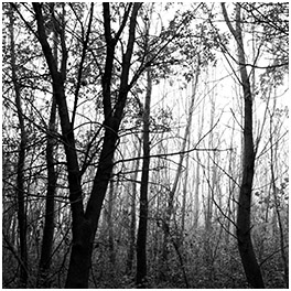
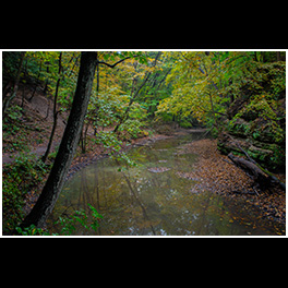
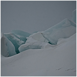
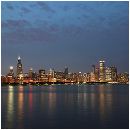
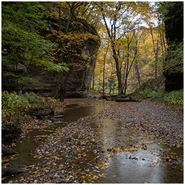
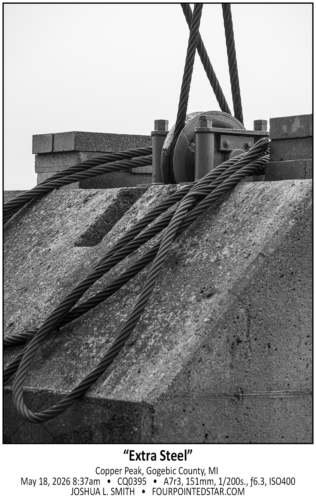
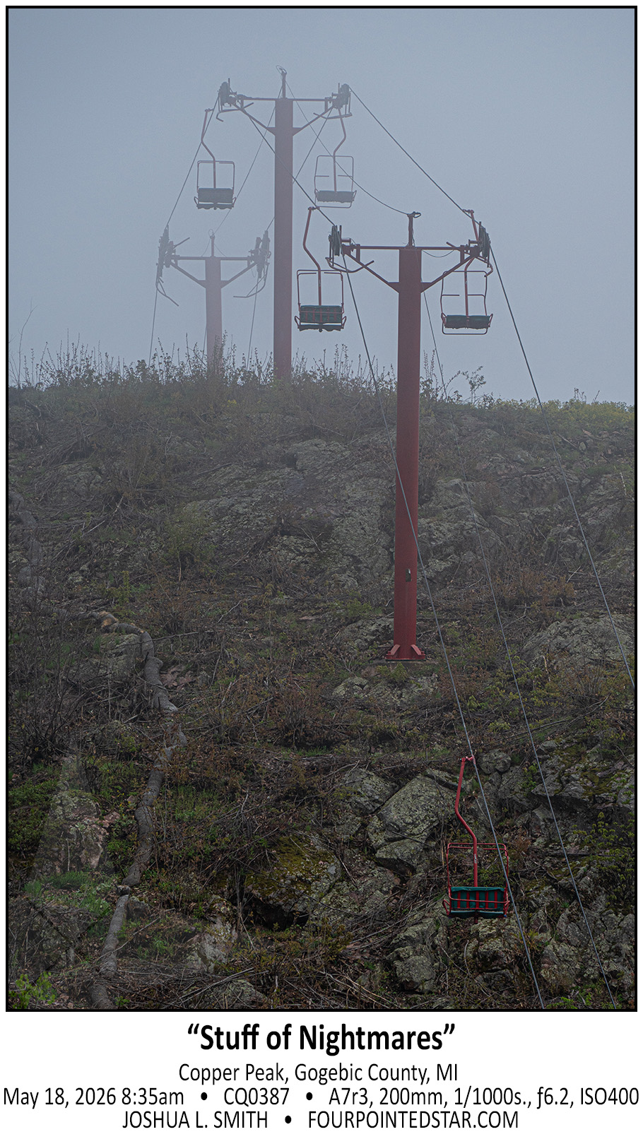
As I looked at the images, I realized that each of these images is uncomfortable to me because they make me feel lonely. The abandoned ski lift in the fog, Lake Superior that disappears into the fog, the steel cable, and the cabin all leave me feeling uneasy – and make for good photographs.


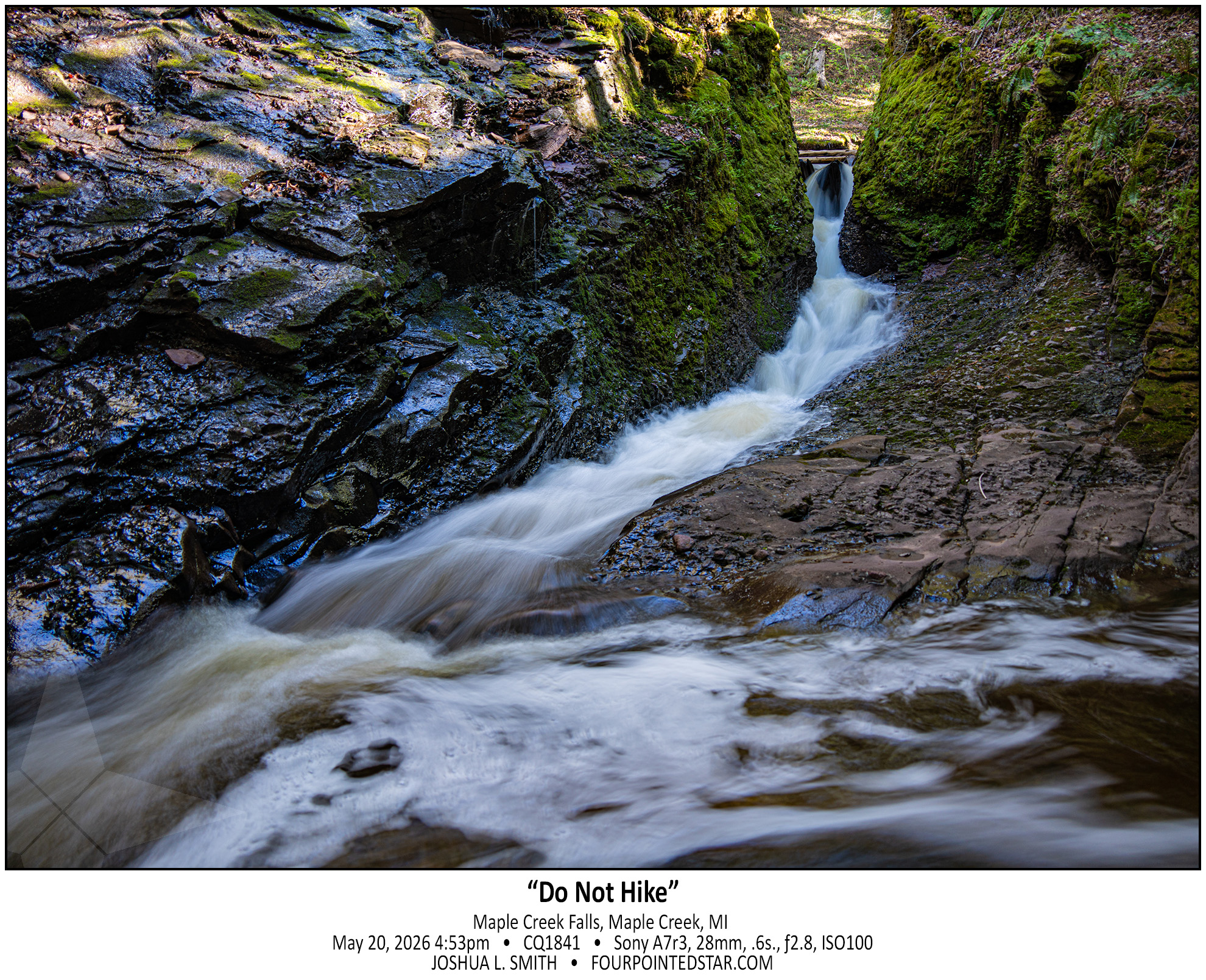
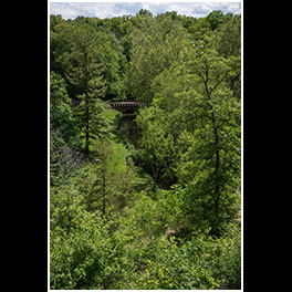
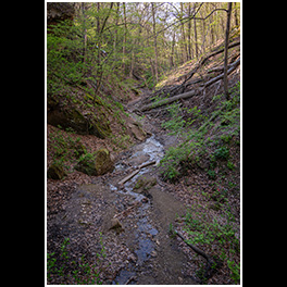
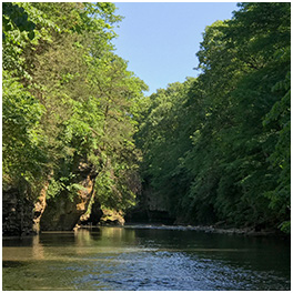
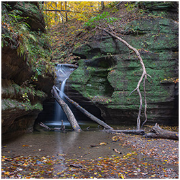
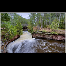
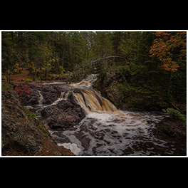
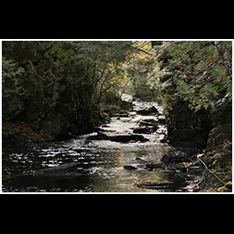
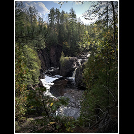
See, the problem with guidebooks is that you don’t know how up to date the information is in the years since the book was published. Maple Creek Falls DEFINITELY needs an update in the guide books; the two descriptions that I saw both describe driving up to the bridge over Maple Creek. That trail (road is way too generous) is gated off about 1.5 miles and the trail is a dead end right after the bridge.

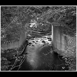
So I walked in; the sign only said “no ATVs”. Once you get to the bridge, that’s when it gets fun. There is only muddy walls and rock faces; I suppose that you could use a rope to gain access to the stream, but I have to imagine that one land-of-questionable-ownership, repelling into a creek is also questionable.

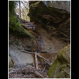
So I crawled/walked/slid down what appeared to be a path; looks can be deceiving. The path gave way about 10 feet above the bottom, and I mostly slid the rest of the way down. The guide books said “you can hike along the creek bed”, but it’s not quite a safe walk either. And with no one with me and not a shred of cell phone coverage either… it was far too risky. So up the sliding pathway I needed to traverse; about 35 feet up a 60 or 70 degree slope in mud on slate rocks with barely a root to hold onto.

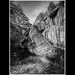
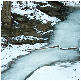
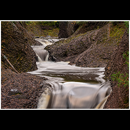
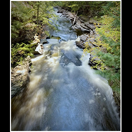
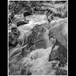
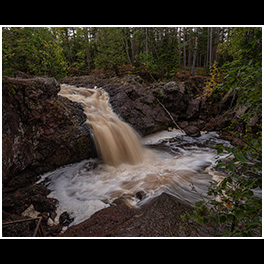
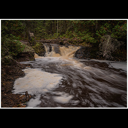
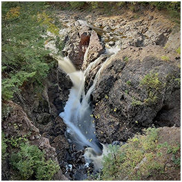
I made it back up, and I definitely want to go back … there’s supposedly six to eight more falls. And don’t let the photo deceive you; that slot canyon that the water is using as a creek bed is about 2 feet wide, super steep, and maybe 30 feet long with a 15 foot rise. It is not for beginners, which is why I need to go back.


(go read O Kun de Kun Falls…)
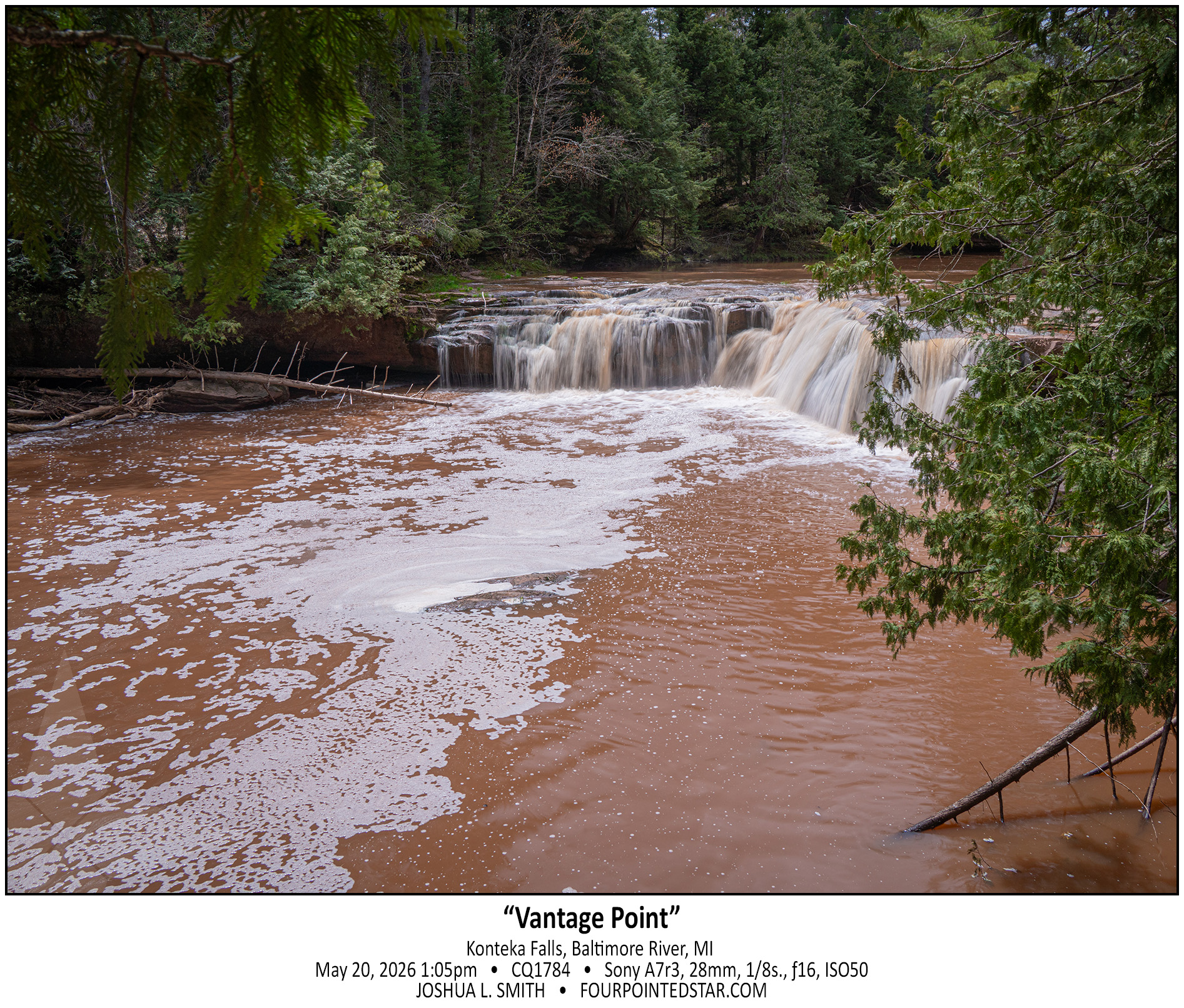
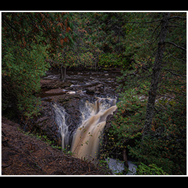
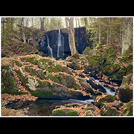
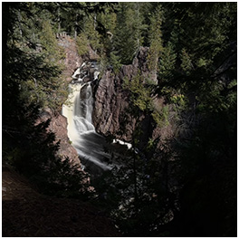
But Konteka Falls has no great vantage point, no easy lookout, and there’s not even a spot to see the entire falls from anywhere downstream. On the west side, the trail side, there’s an eight or ten foot drop-off from footpath to the river. Perhaps you could get a drone in there, or there’s a spot on the path downstream that you could enter and walk upstream, but overall, there’s only 1 vantage point to see the falls.

And I think that makes the falls even more fun…


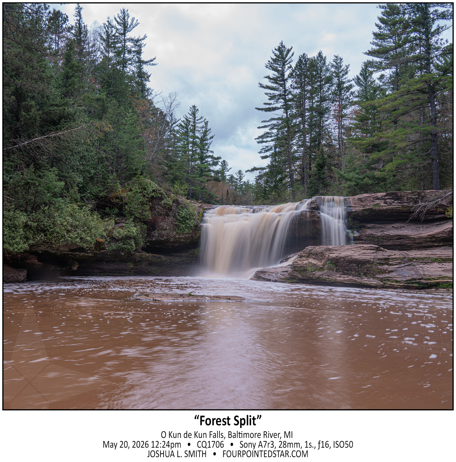
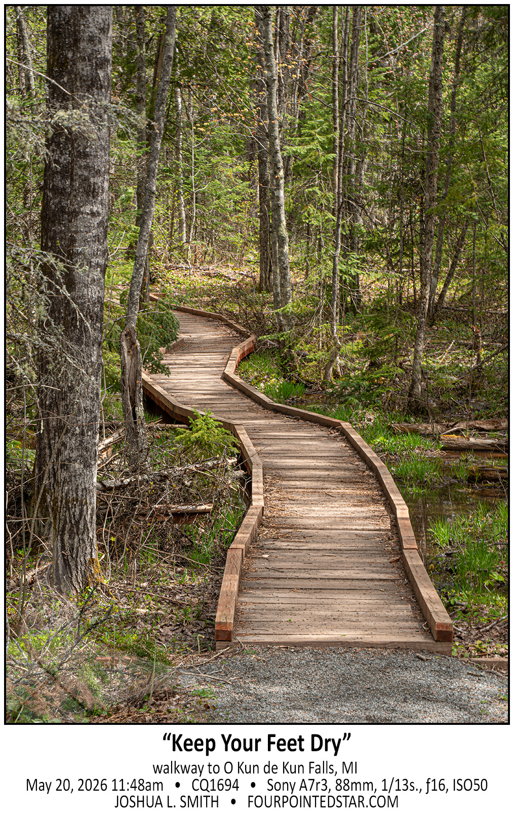
O Kun de Kun Falls is the obvious star of the hike, a narrow 1.3 mile path through dense forest. But right before you get to the falls, you encounter a fork in the trail to Konteka Falls. O Kun de Kun Falls has relatively easy paths to see the falls from various angles, and it even has a foot bridge over the river just downstream. It’s honestly a very pretty waterfall…


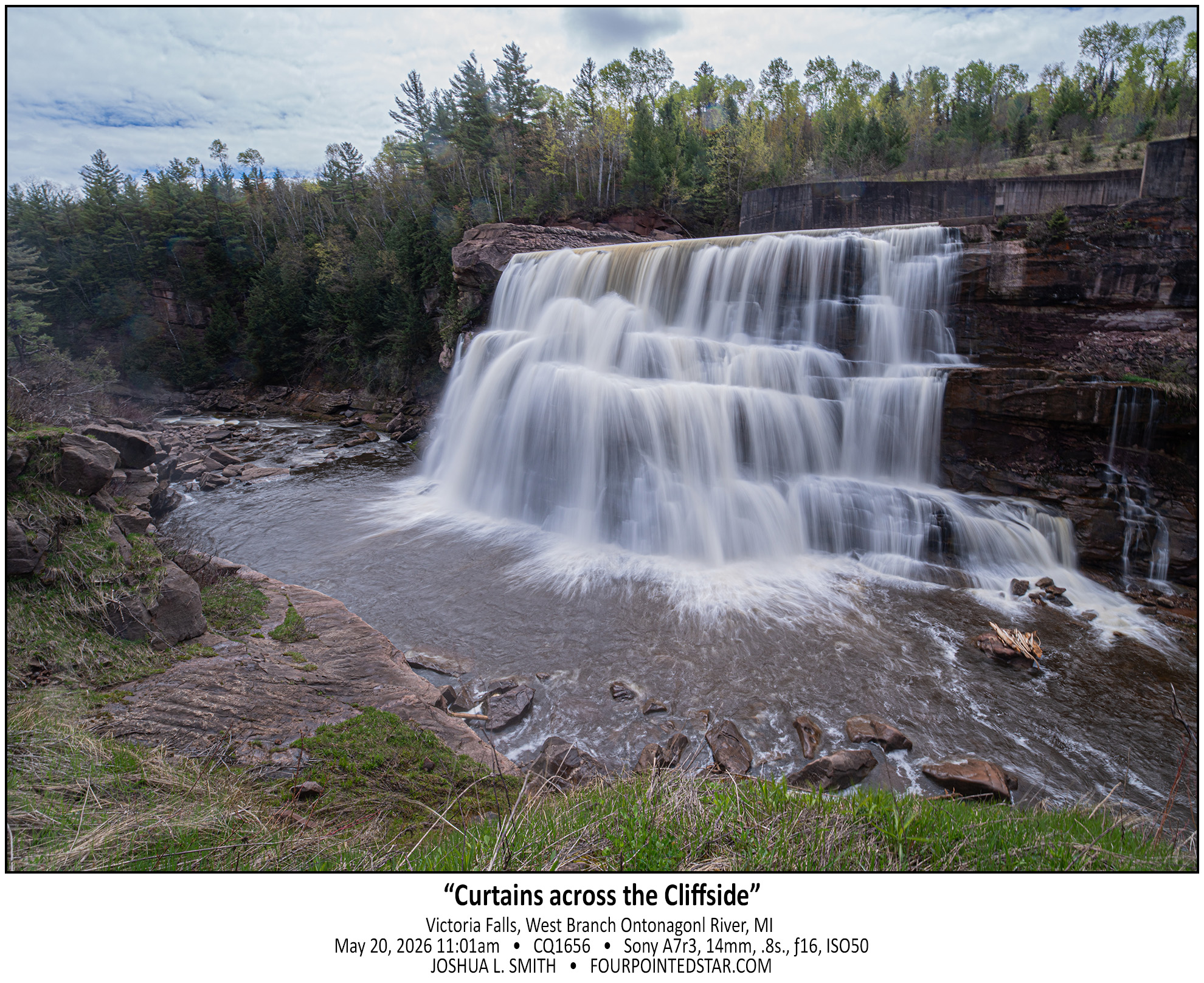
Victoria Falls is DEFINITELY a waterfall, but also definitely artificial. If you look at a satellite view, you can see the concrete base to the spillway that leads to the falls, and if you look at my photo you can see the concrete wall for the spillway. Also quite a few people online have mentioned that Victoria is often dry; obviously not when we visited!


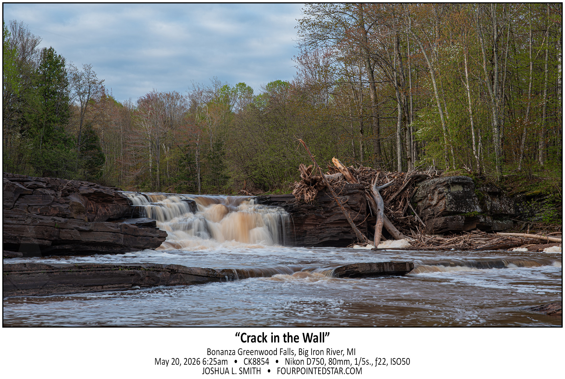
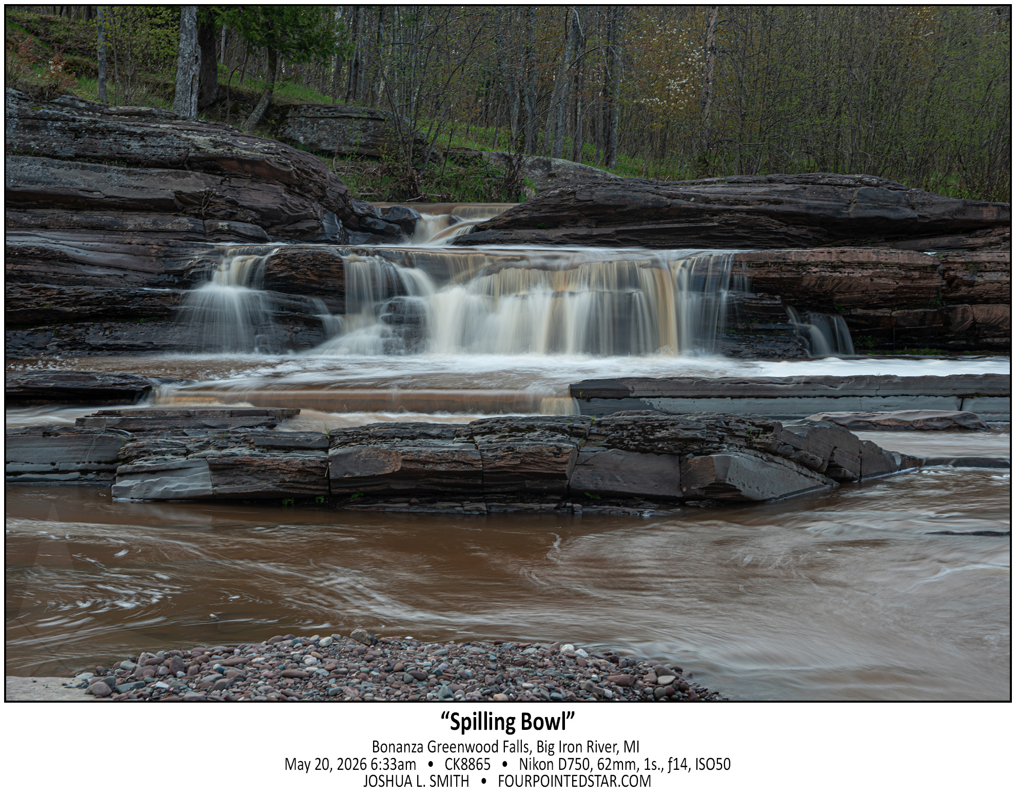
I saw the tag for Bonanza Falls on Google Maps, and it was literally 500 feet off the highway we were on, so it was an easy stop. I’ve seen photos of the falls covering the entire width of the river, but on the morning we stopped by it was only running on the far left and far right.


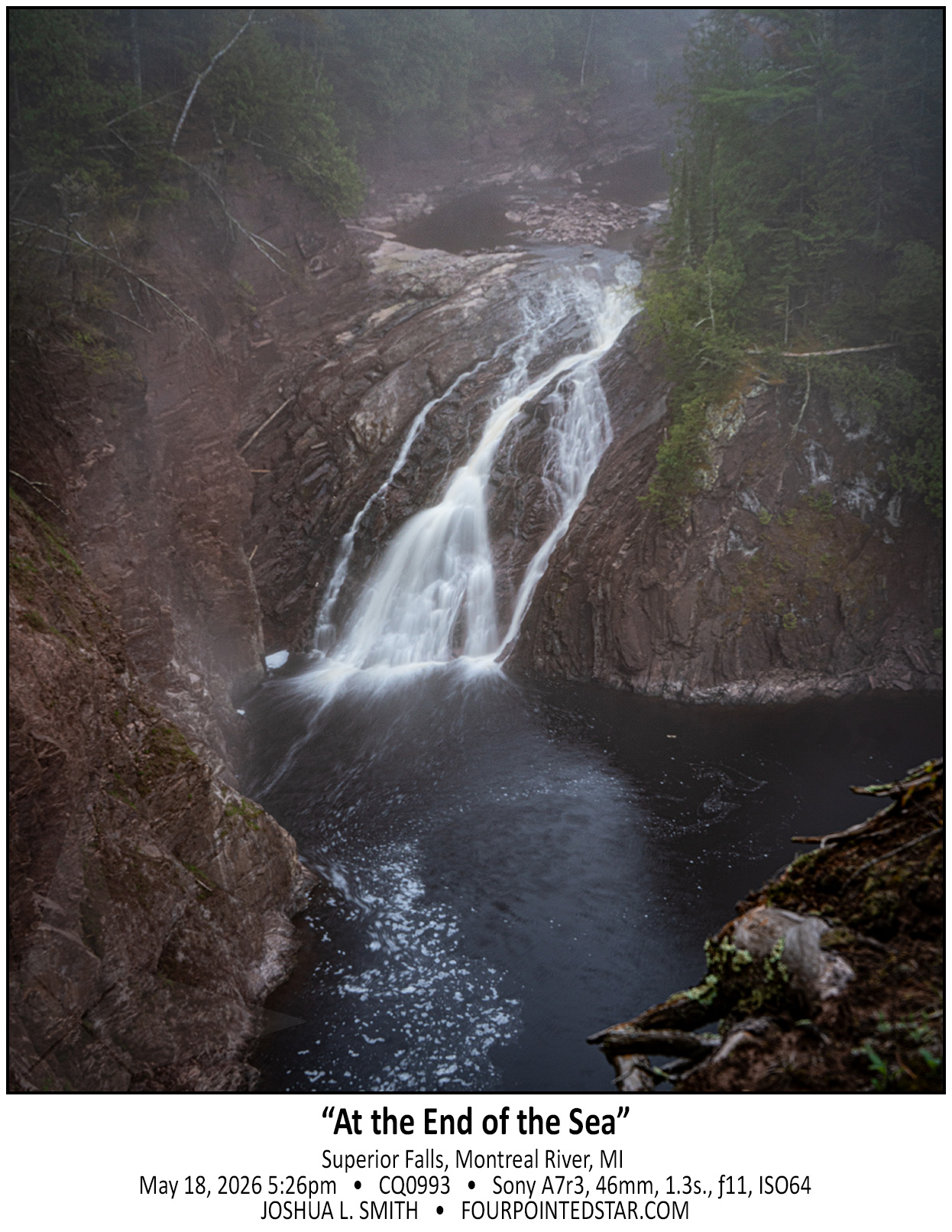
As we approached the Lake Superior coast, a dense fog set in. When we parked near Superior Falls, the fog hung heavy over the falls; from our vantage point, the view was uncomfortable … it felt like we were 90 feet in the air standing on the edge of a precipice as the fog undulated covering and revealing the river and falls.


Have you ever started a project and realized halfway through that … maybe this wasn’t a great idea … but inside you know that you’ll finish it?

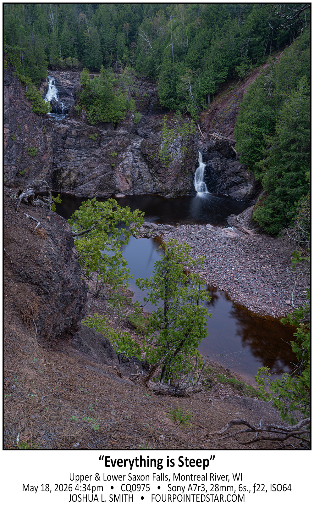
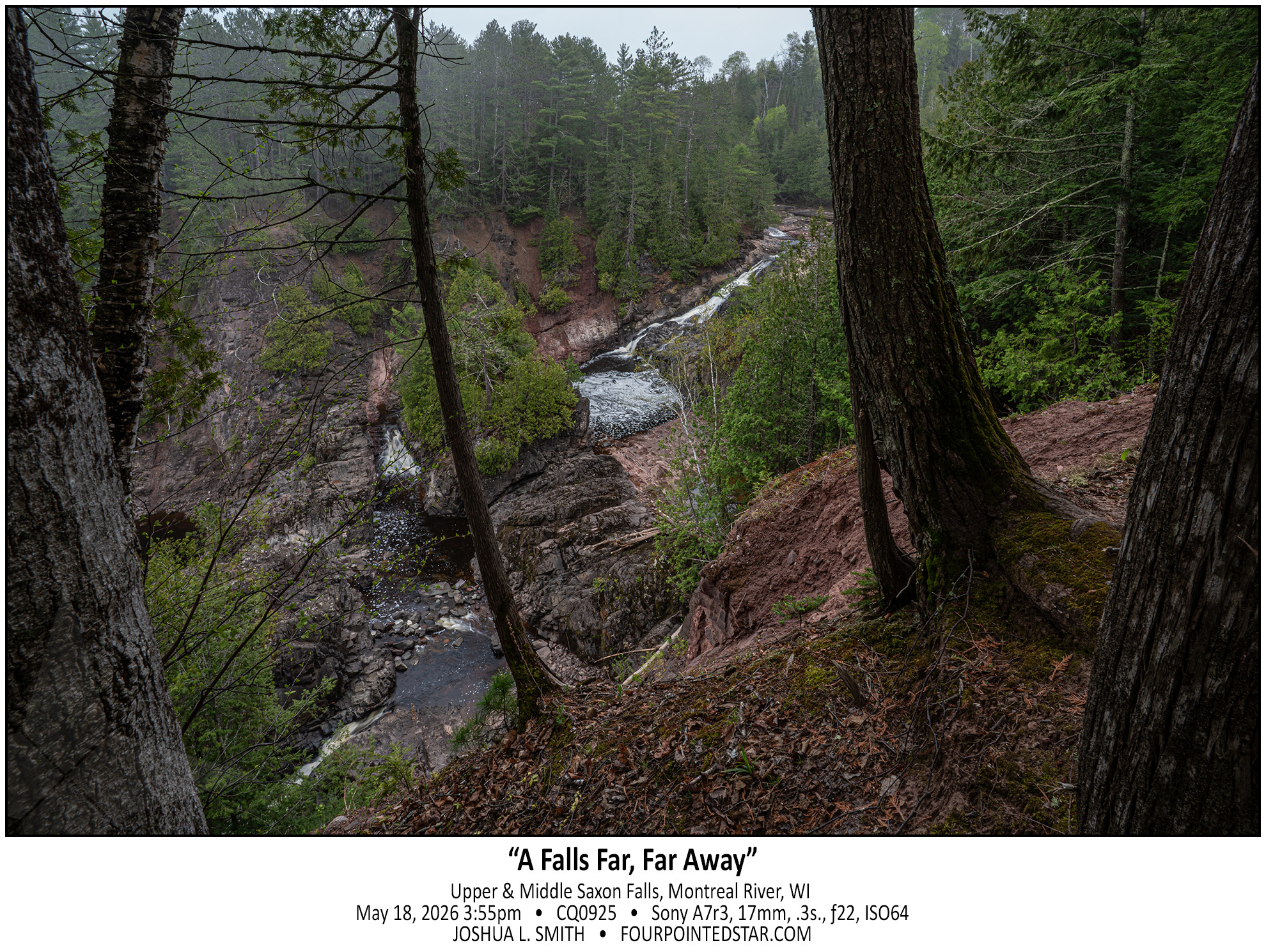
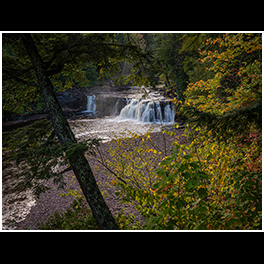
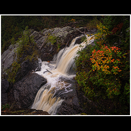
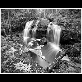
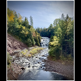
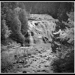
I bought a waterfall book and the directions to the Michigan side of Saxon Falls were outdated; there was now a barbed wire fence along the path indicated by the book. But if you view Saxon falls from the Wisconsin side, you can’t see anything but the top 5 feet of the lower falls (second photo)… so I was determined, and we found a way to get a wonderful view of Lower Saxon Falls.

However, from this alternate location, you can’t see the middle falls which is implied in the first photo by the elevation change between the upper and lower falls.

Anyway, if you choose to hike to see the view of Saxon Falls from the Michigan side, you may end up with a bit more of a scary hike then you’d planned and gather a half dozen ticks in the process.


When people ask, I tell them that I “collect waterfalls”.
I guess that it could be more accurate to say that I visit waterfalls; after all, I rarely stay at them for any length of time… but I say “collect” since I only count waterfalls where I can take a photo and where the water is running (even if I can only hear the water running, like a recent waterfall in Southern Illinois.)

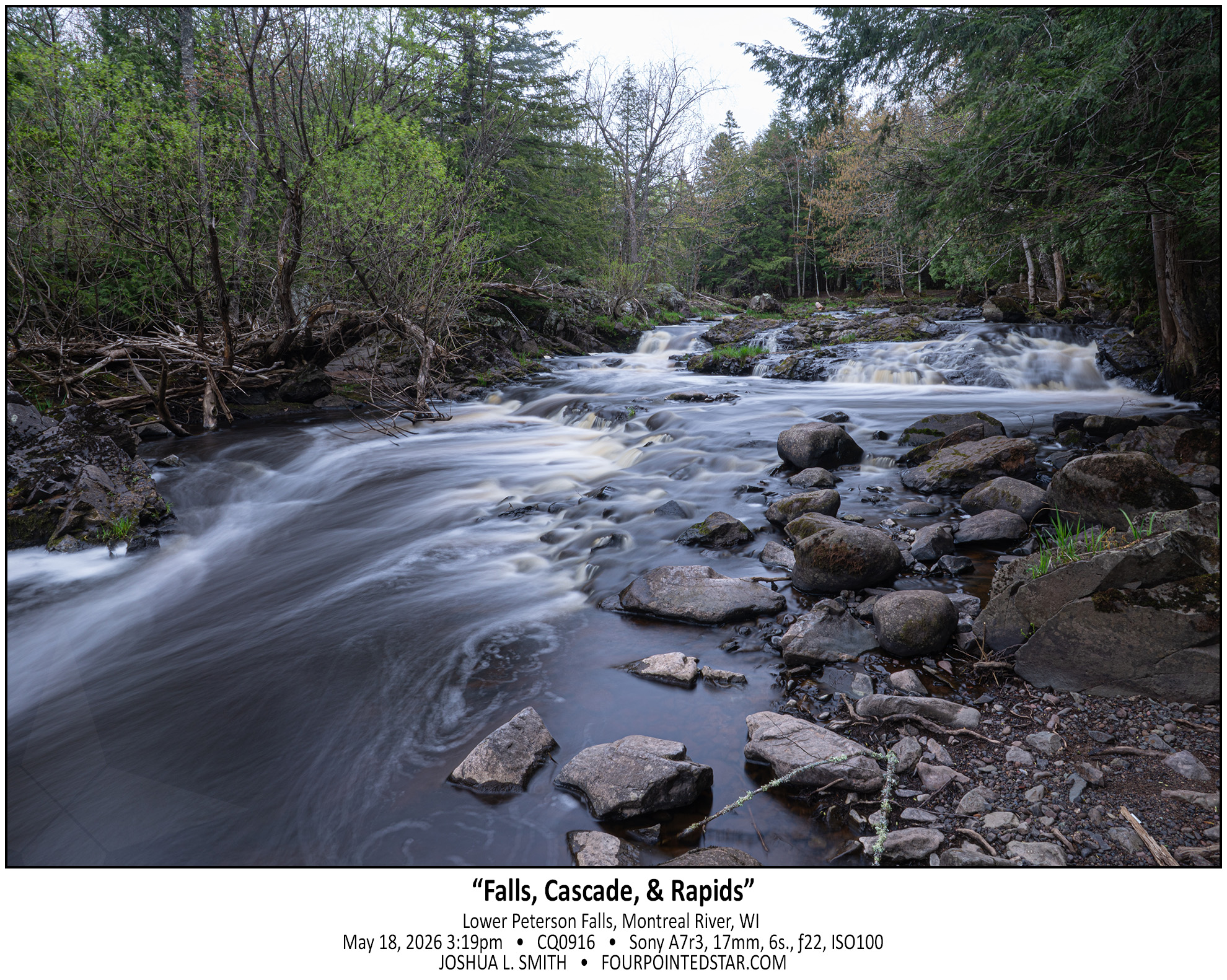
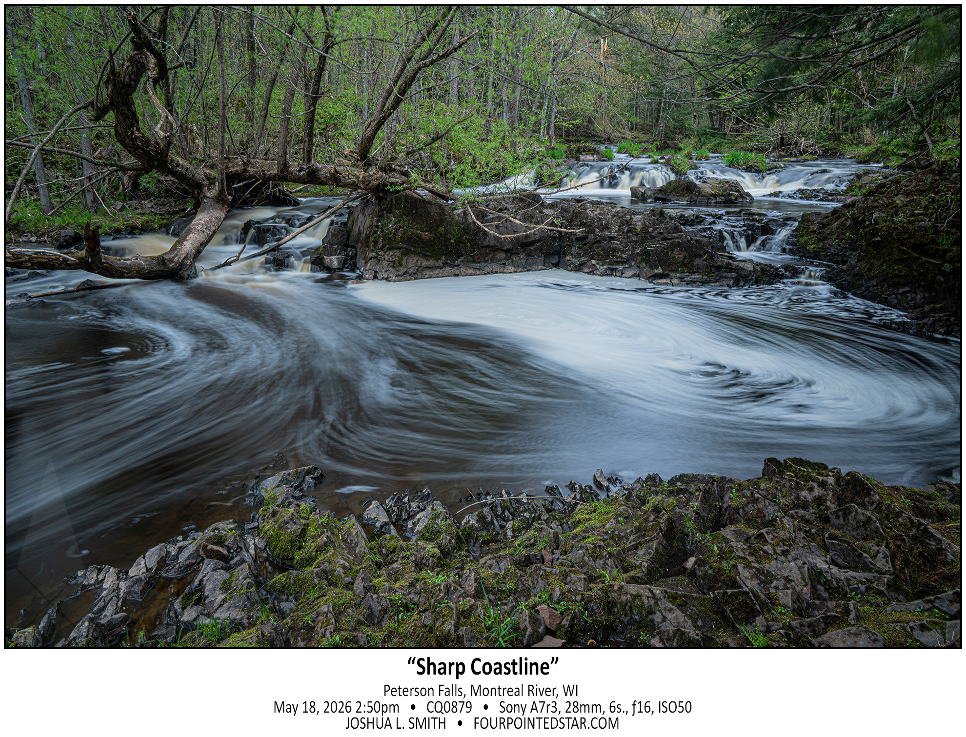
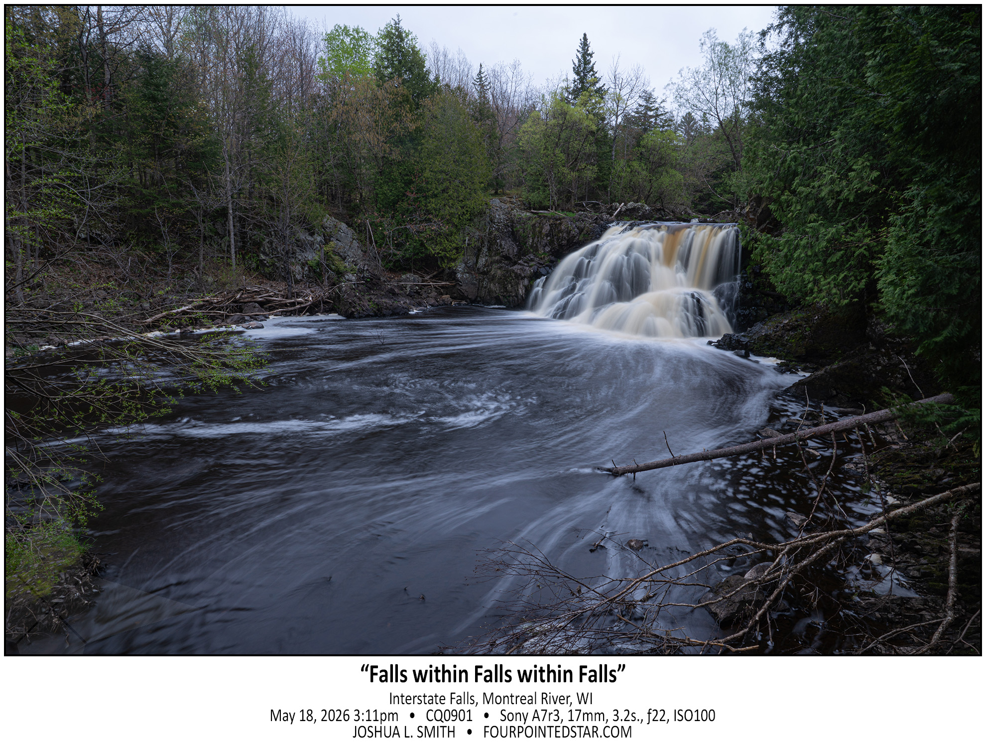
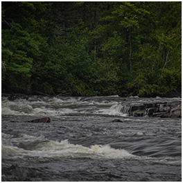
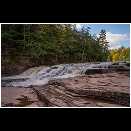
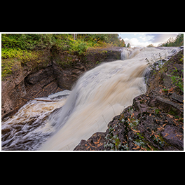
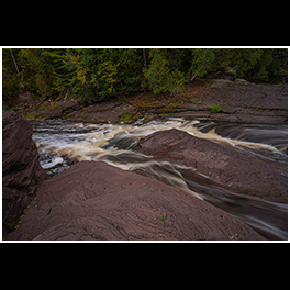
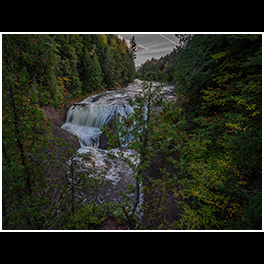
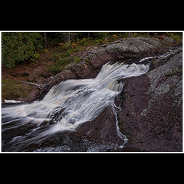
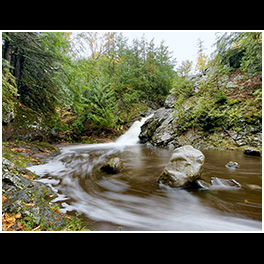
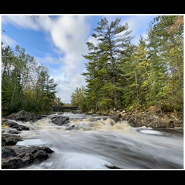
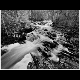
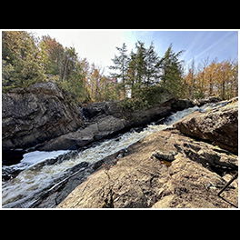
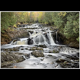
I visited this segment of the Montreal River back in 2022 to see Interstate Falls. As you walk to Interstate Falls, you can hear the water rumbling from Petersen Falls, but if you walk upstream from Interstate Falls, you’ll see this small rapids, cascade, and falls that you miss on the path from Peterson to Interstate.

I absolutely love the look of this photo, and it may well be my second favorite photo from this trip.


Honestly, I don’t visit waterfalls twice very often; there are a few local waterfalls that I’ve visited more than once, but most locations I take photos of and then move onward to the next spot where the water and the land had a disagreement.

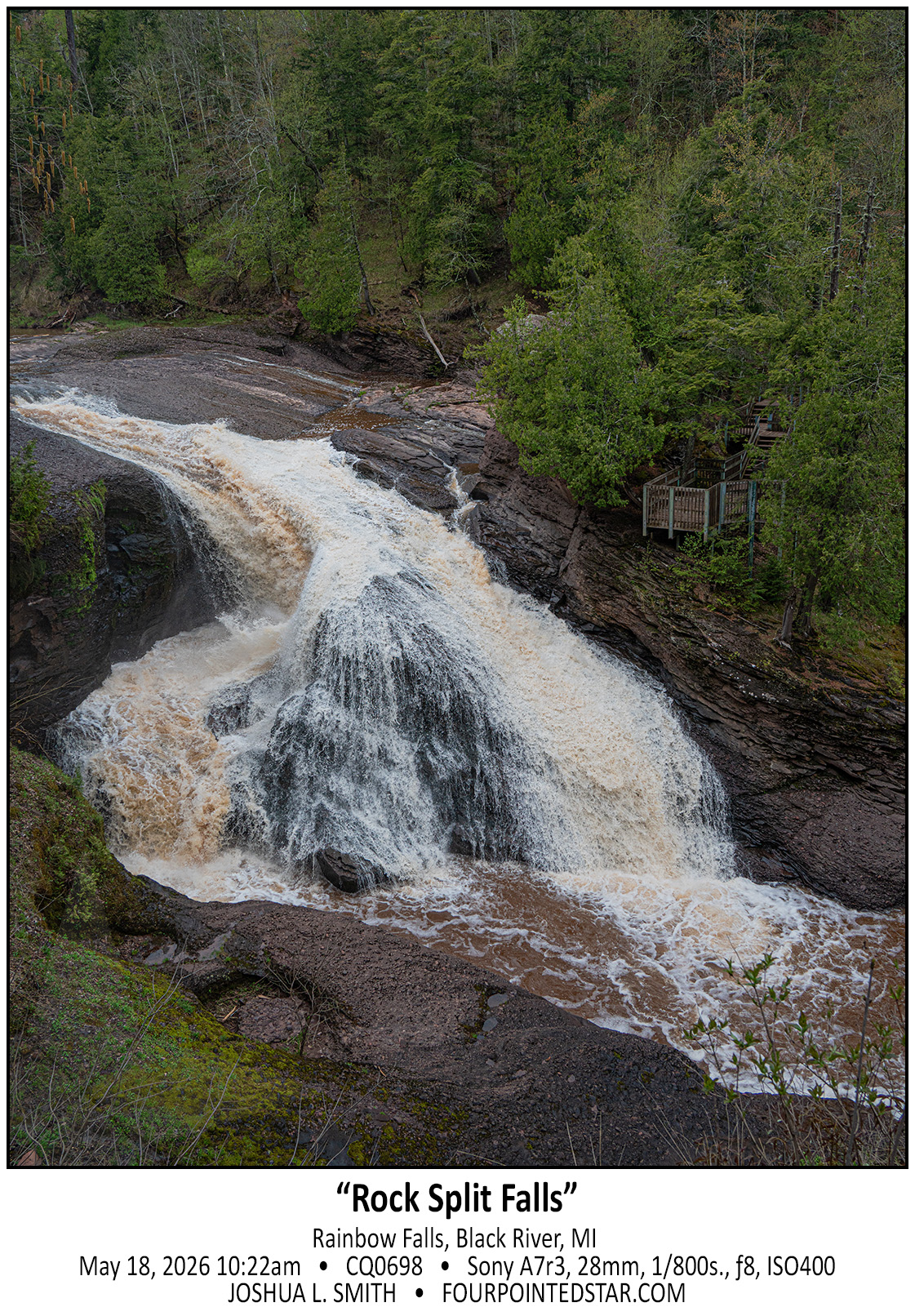
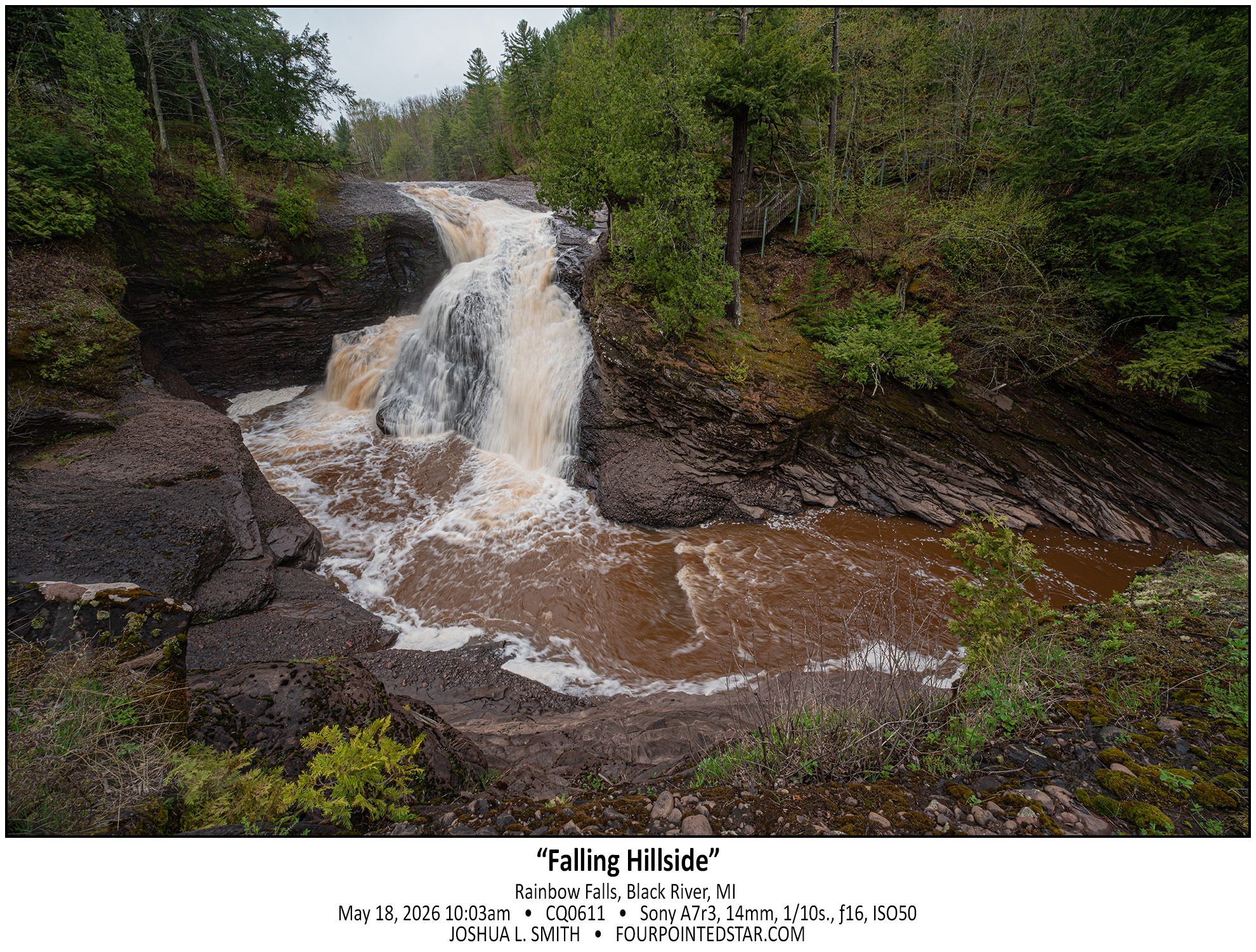
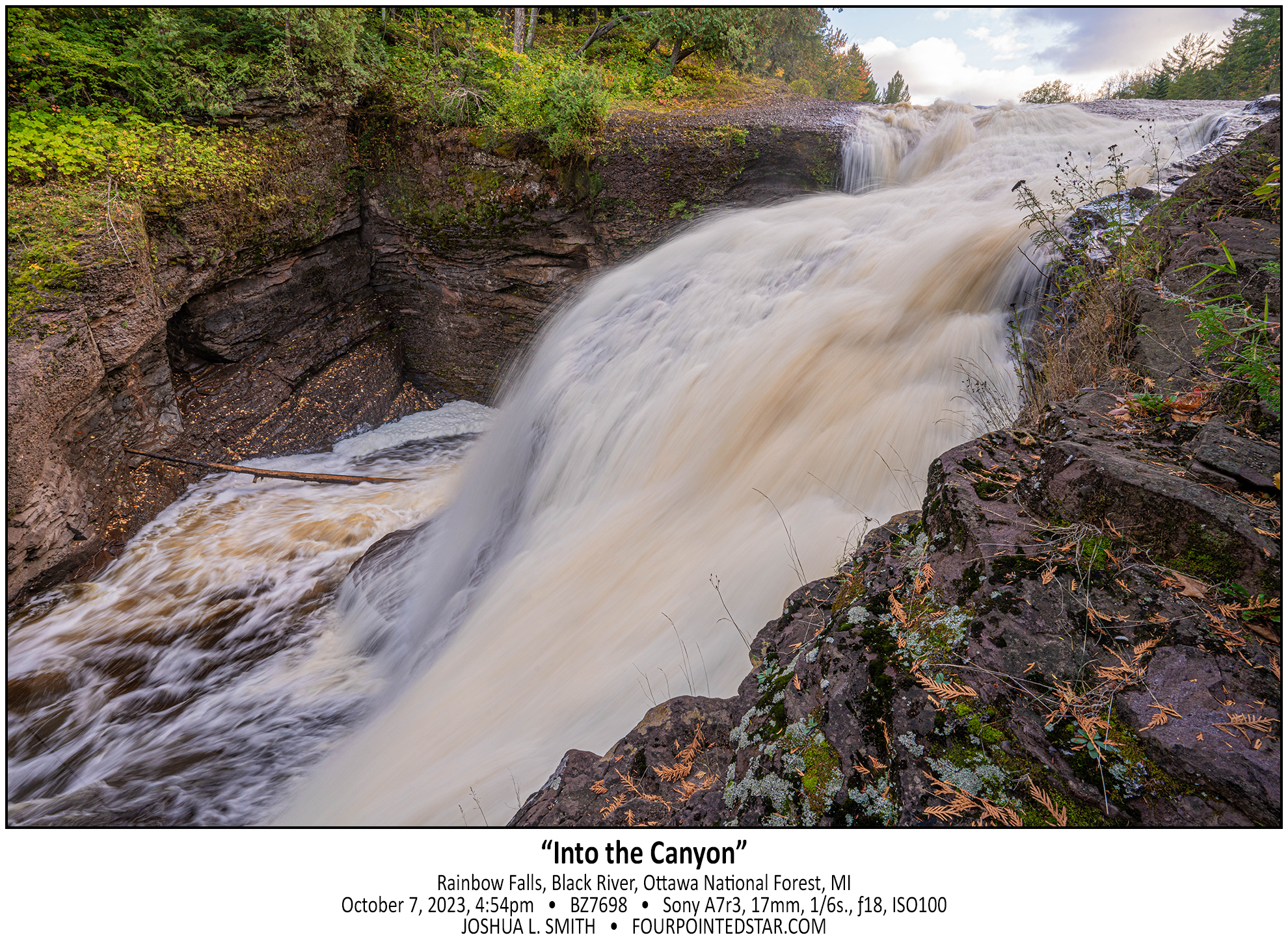
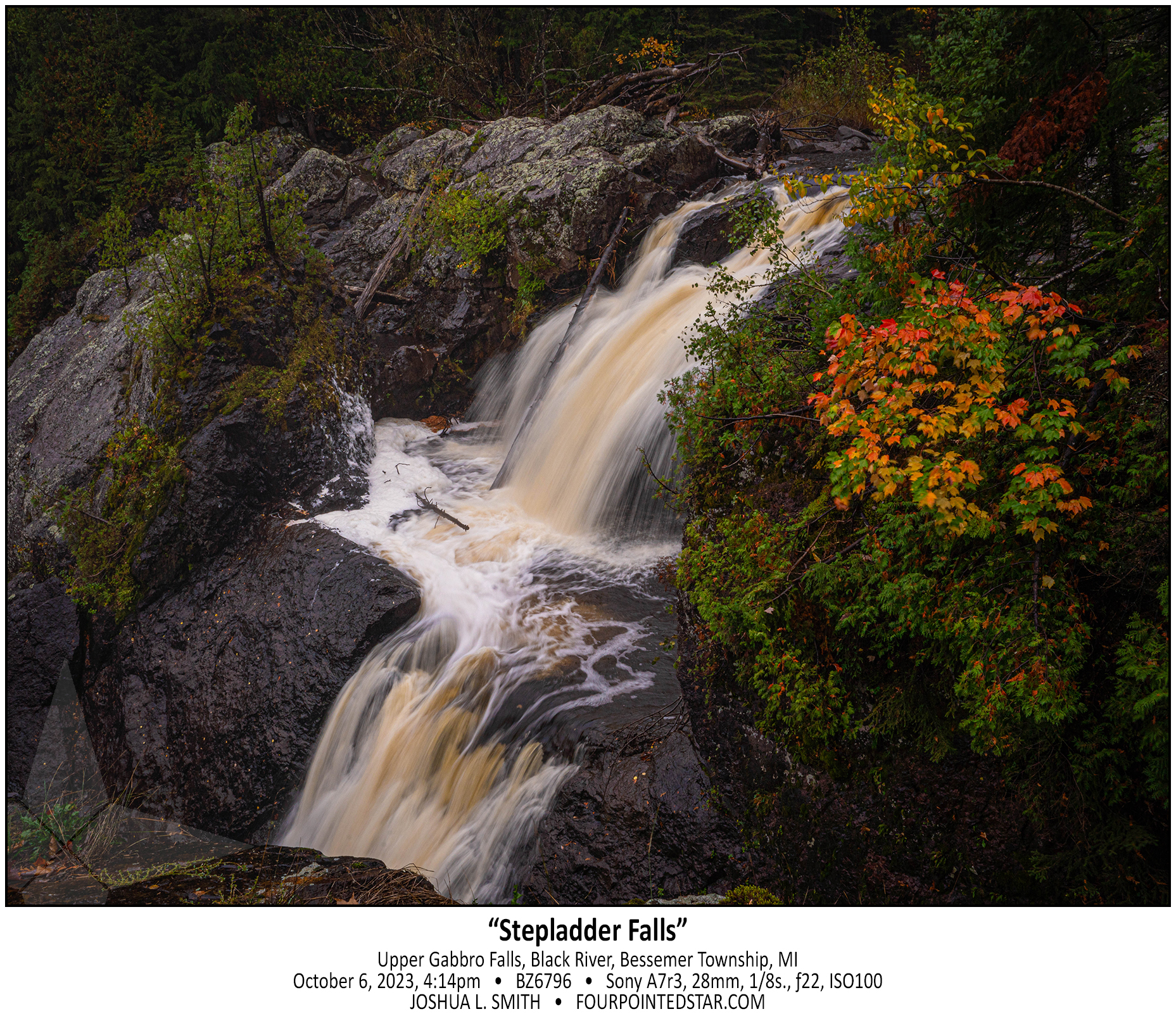
Rainbow Falls’ east vantage point is spectacular; you stand on an outcrop of land about six or eight meters above the downstream portion and roughly eye level with the upstream portion. The Black River has carved two paths down the falls, equally treacherous, and from that vantage point, you really need a wide angle lens to capture the scene and stream. If you walk a bit further south on the trail, you can see where the Black River is slowly carving out a new falls and a new path.


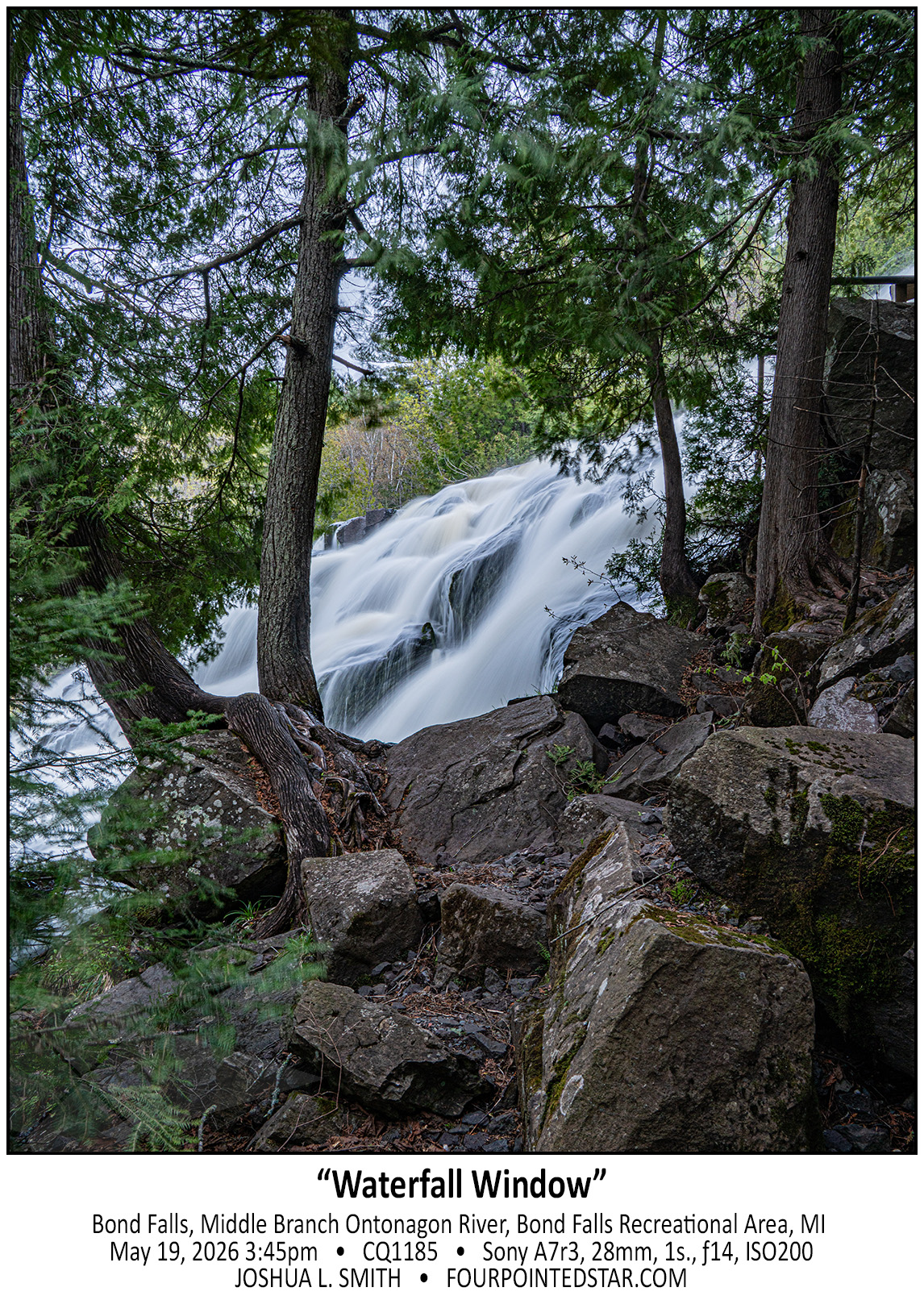
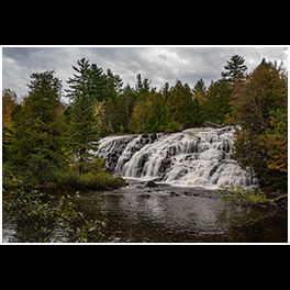
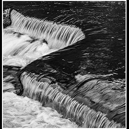
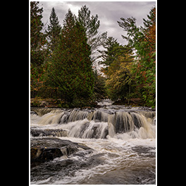
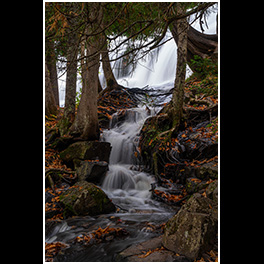
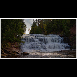
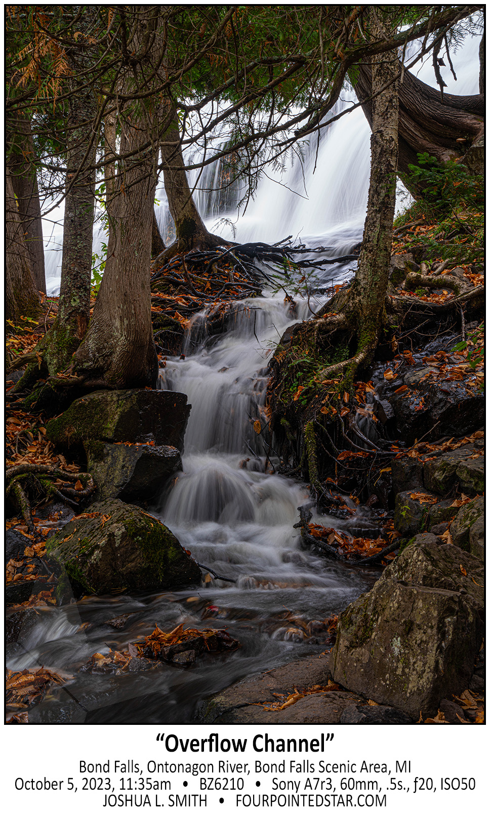
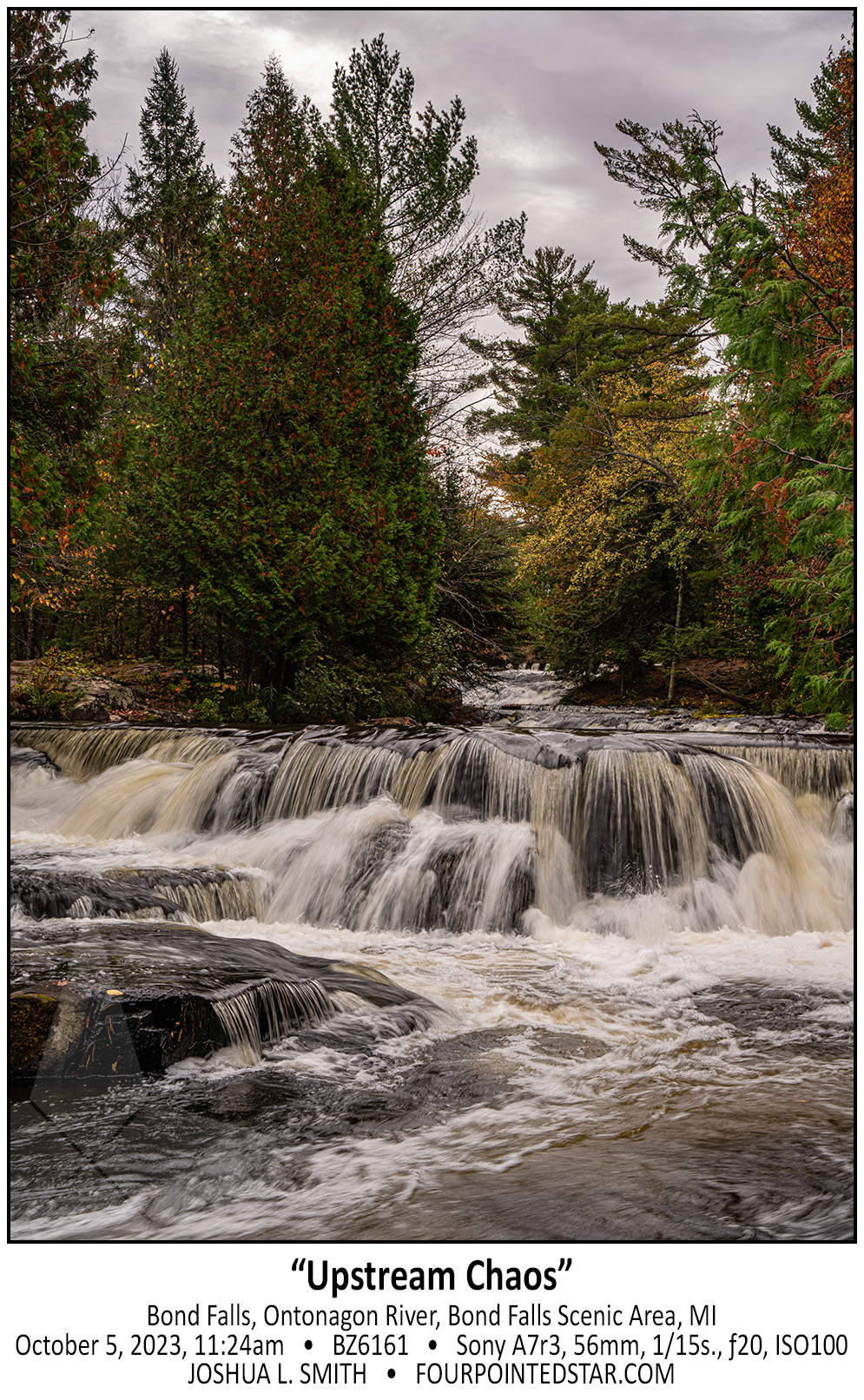
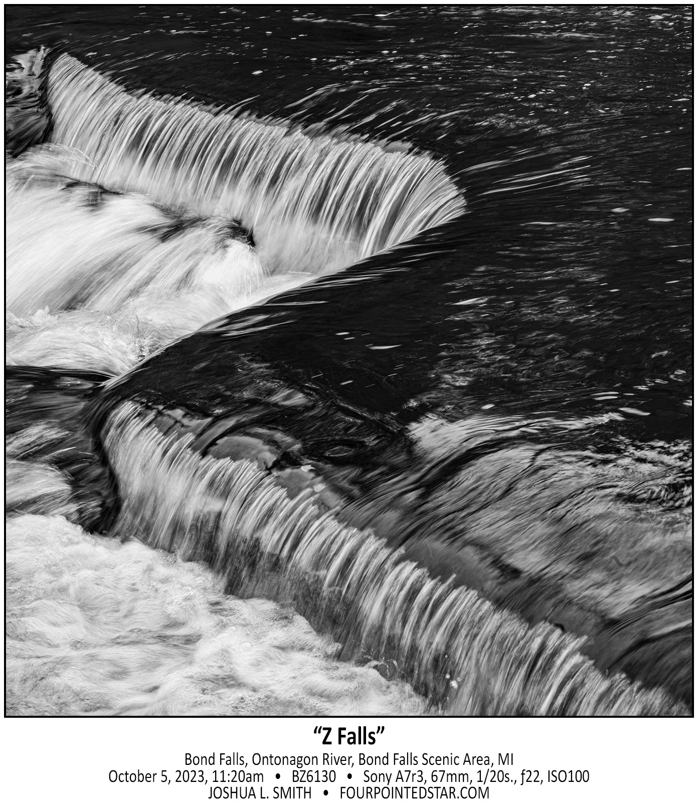
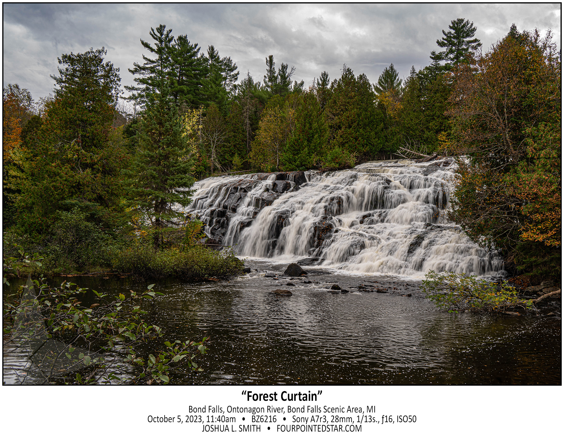
If you visit Bond Falls and you only view it from downstream it can be a little … boring? But, if you take the time to climb up beside the falls on either side (don’t worry, the falls has concrete barriers to hold the water in), you’re greeted by these beautiful vignettes. Viewing the entire falls is … just a bunch of water flowing over a hillside, but walking along the side or even walking downstream will bring you closer to nature and the forest.


A Good Story
I always love a good story; stories are what binds friendships and culture, and stories are what draw us to interesting people. As I walk through the woods on a new trail, I wonder where the trail will take me; what story will it tell?

The streams and rivers that I hike to are similar; they wander through the landscape carving out a path that meanders and reveals the area around it, much like a good story or a good trail. As you explore their journey, you find out so much about their story – the hills and valleys, the ancient stone and rock, the detours – much like life.

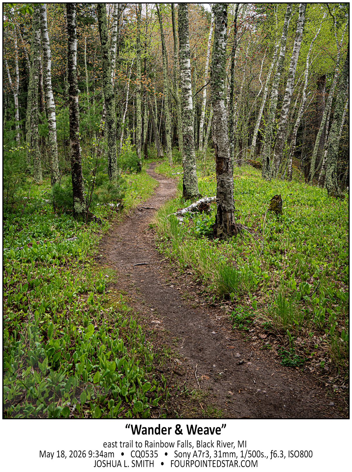
I absolutely loved this scene of the small stand of birch covered in moss. The fog was low that morning, and the grass was damp from an overnight rain. As our group walked through the woods, it felt like a forest in Washington State; damp air, big trees, uneven terrain – and then we encountered this neighborhood of white bark.

In between the large trees, the path was wide and somewhat straight; the path through the birch wandered almost lazily. I’ve taken photos of paths in woods many times, but many times the photo never gets shared. But this was a wonderful photo, and it pushed me to start looking for other paths on that three day trip.


Notice the Little Scenes:

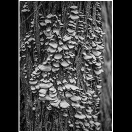
One of the most difficult parts of a nature walk for me is not focusing on the destination. Often, I get so carried away with hiking that I forget to notice the beauty surrounding me; things like tiny mushrooms, plants, small scenes escape me because I am focussed on getting “there”.

When I’m hiking with a group, a different pressure comes up – I don’t want to hold the group back; of course, this isn’t as bad if I’m with a group of photographers. Then there is laziness; I don’t want to switch lenses, put on the filter, or move my camera bag so that I can squat down.

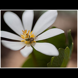
Often for me, photography is about putting the rest of life aside – the final goal, pressure from others, and my own bad habits – to actually focus on what’s around me. The beauty of a stream, a tiny new plant or ladybug, or even a overgrown, but still maintained cemetery.
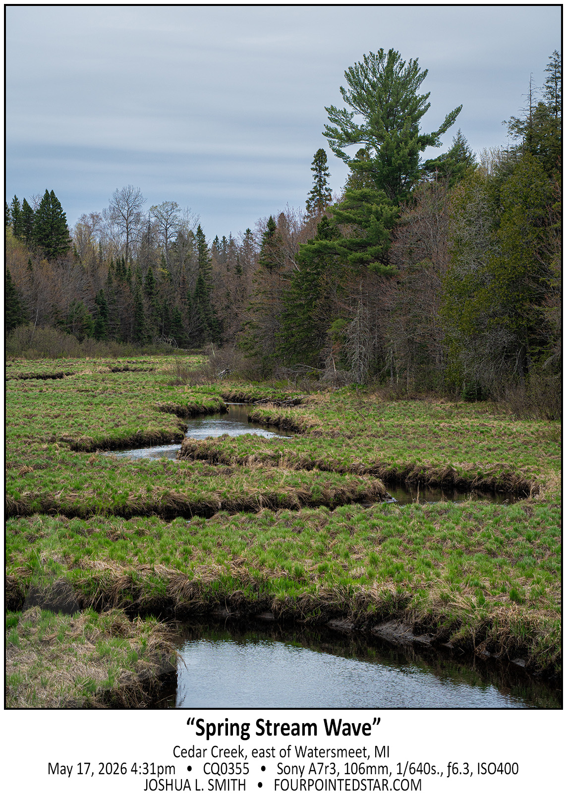


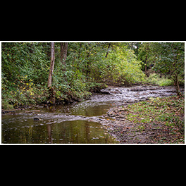
I love the little highway scenes; the ones that make you do a U-turn. This little stream is probably only visible during the spring, when the grasses are short and the stream is flowing well. If you looked at a satellite view, the curves aren’t that dramatic, but by using a longer lens the distance compression really works in my favor.
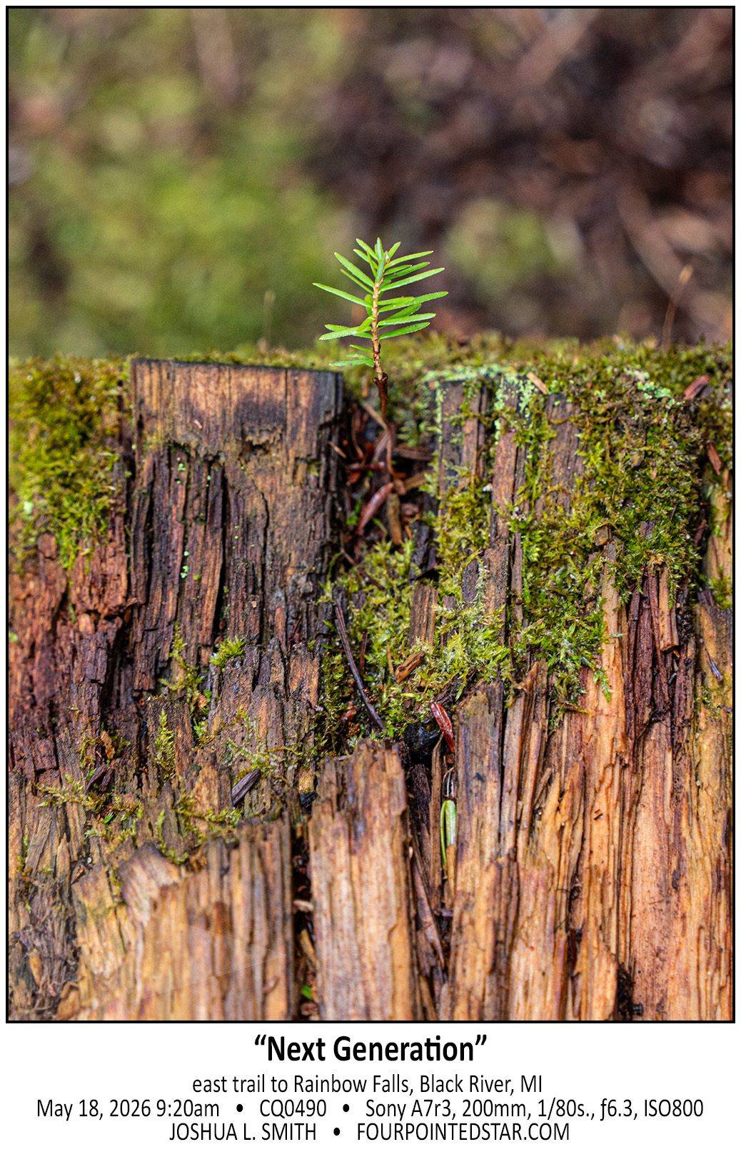
 

.
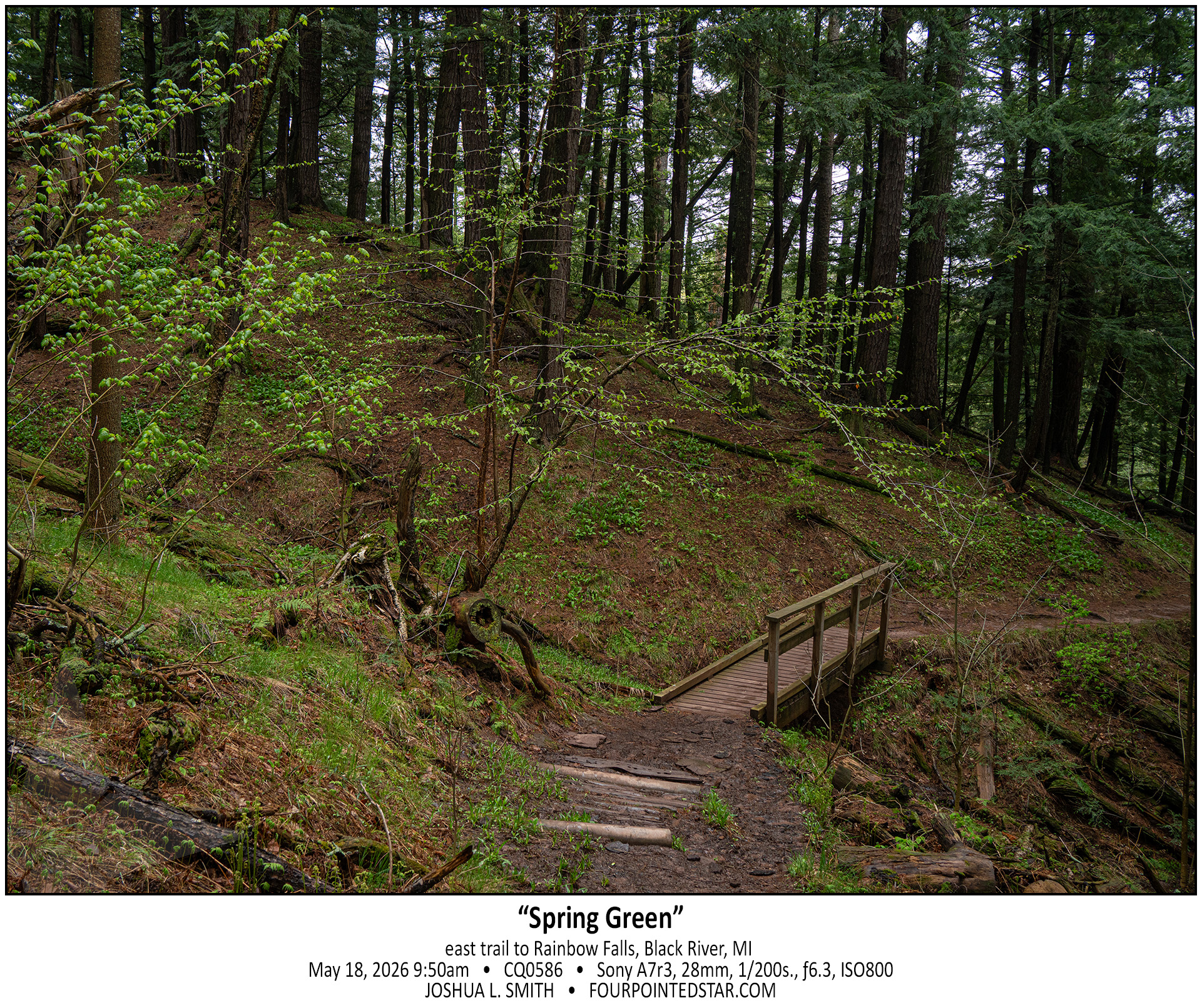
There is something mystical about this scene; the small light green leaves remind me of spring cherry blossoms, and the path leading through the forest reminds me of forests of the north west.
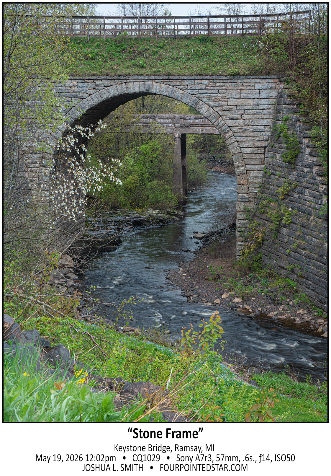


.
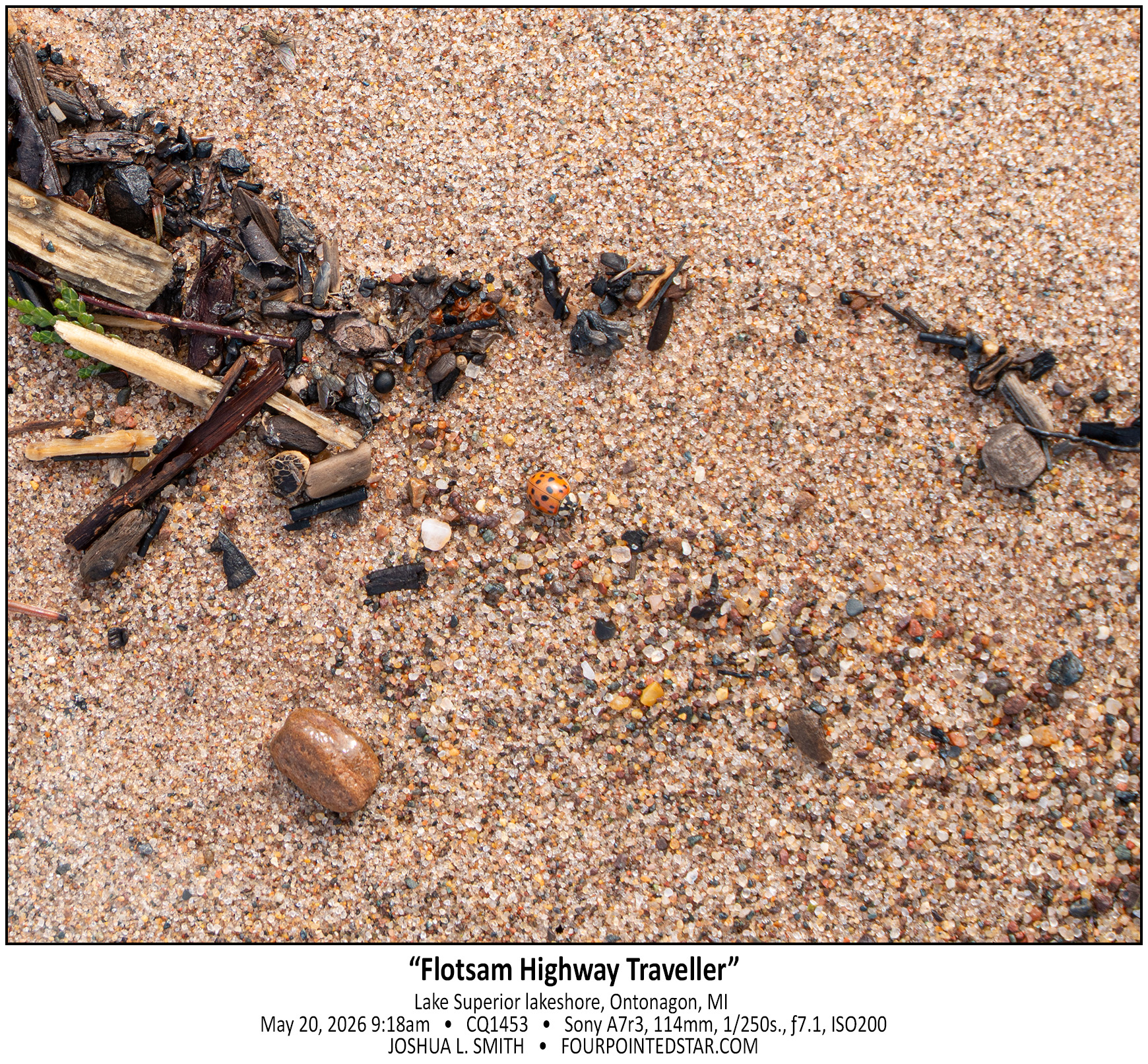
Cynthia found this little ladybug (or ladybug like beetle) in the flotsam from Lake Superior’s waves; besides being cute, I wondered how it was already so active. That morning was chilly, around 45, and he was very close to the waves rolling on the beach, perhaps he’s a surfer?
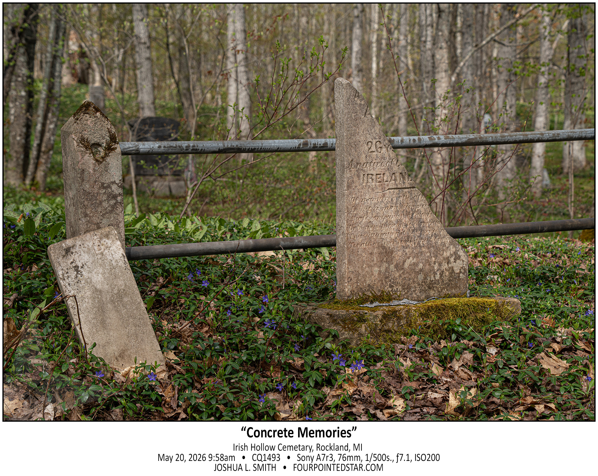


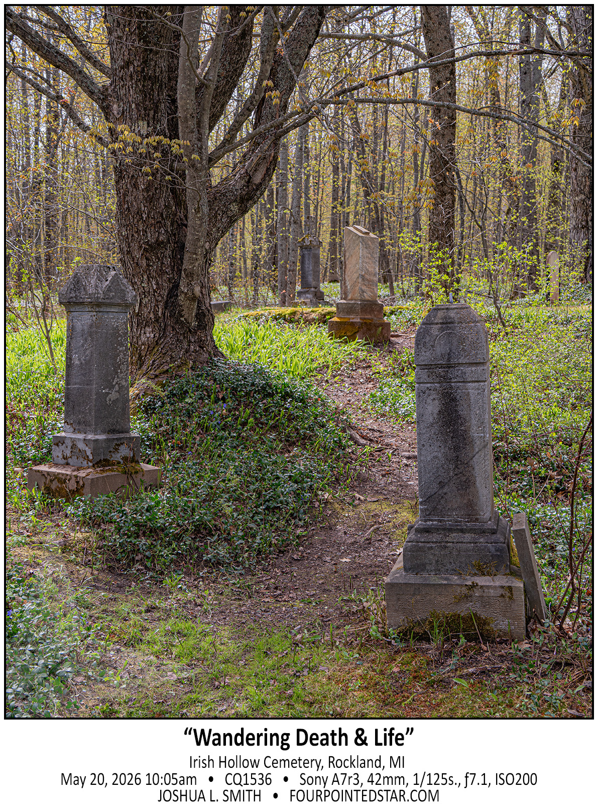
Lastly, this cemetery is unlike any other gravesite that I’ve come across. The graves were mostly from the 1920-1950’s, and since then, the birch forest has grown in around the graves. But someone has continued to maintain the graves, and that feeling of “cemetery in the forest” is both comforting and creepy.


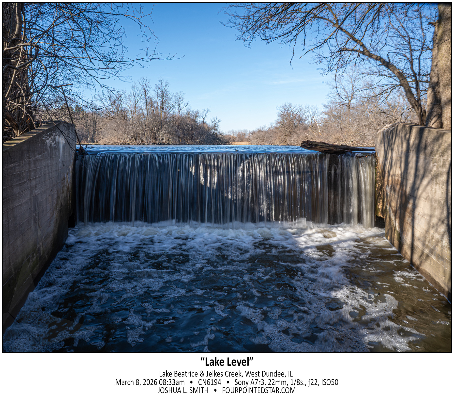
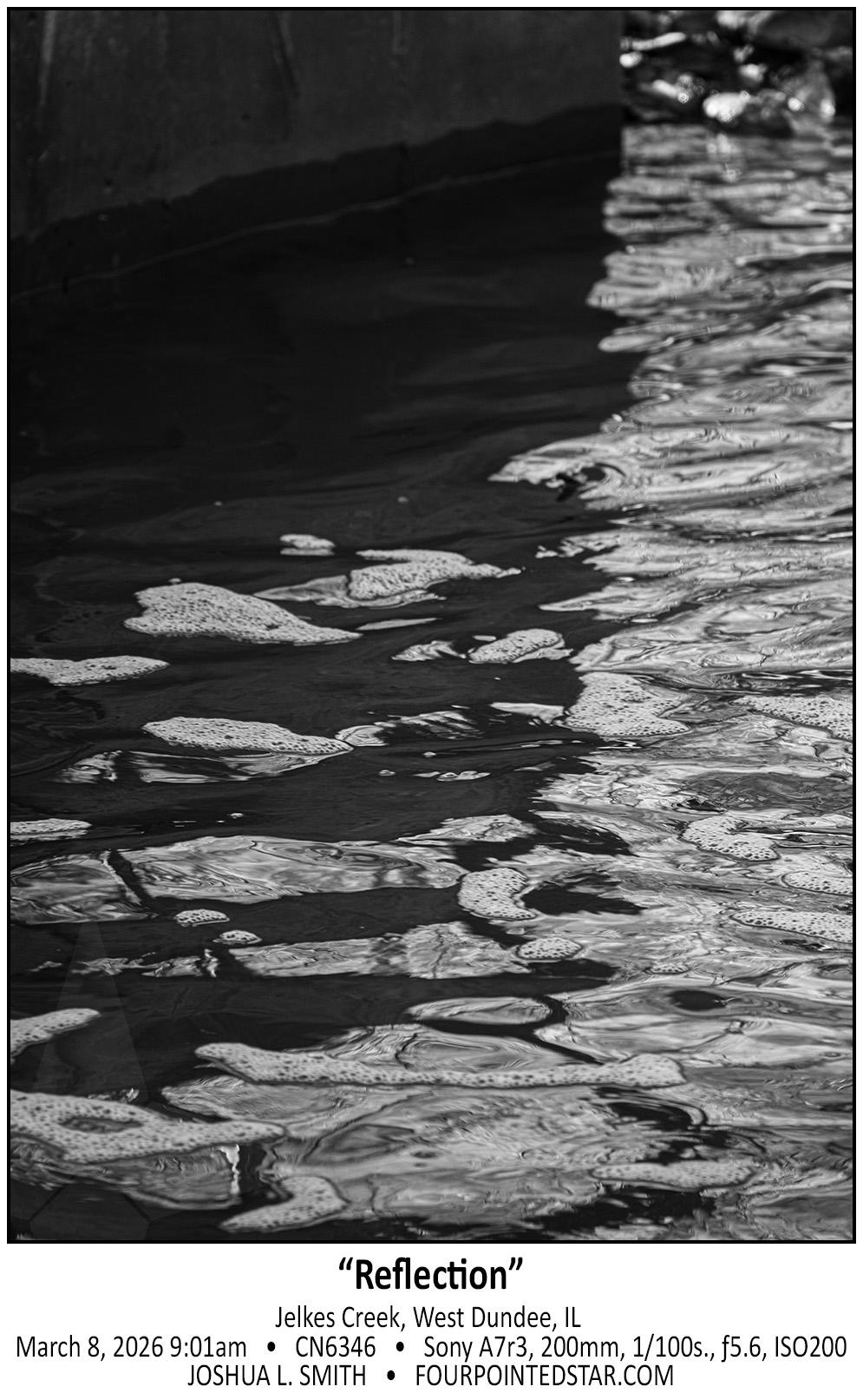
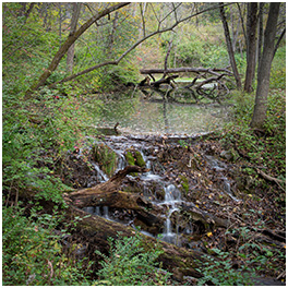
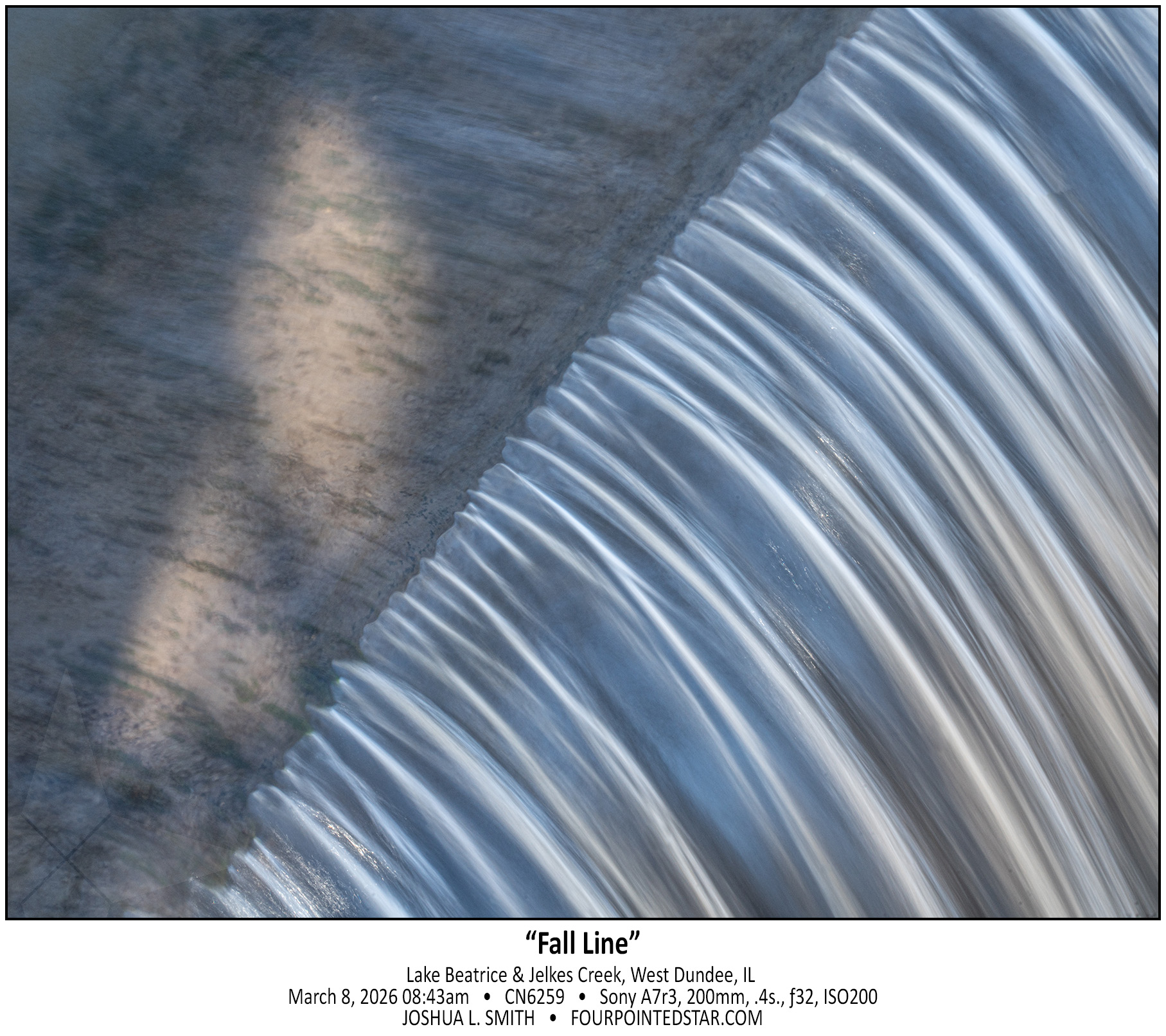
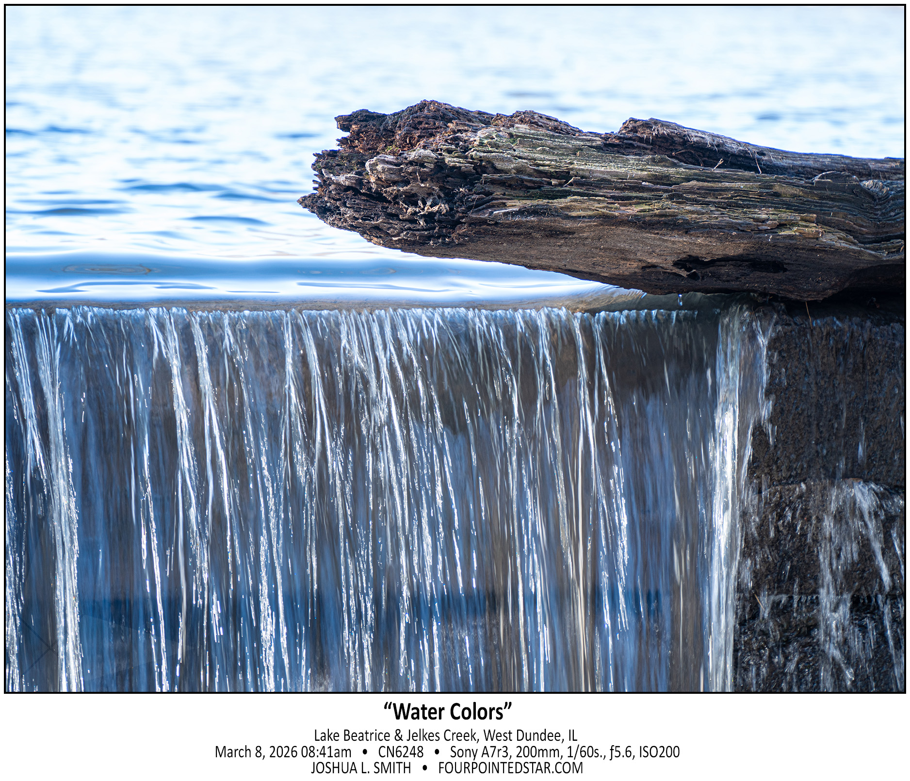
What makes a waterfall a “waterfall”? Jelkes Creek doesn’t have enough elevation change to create a falls through its meandering path in Sleepy Hollow and Dundee Township to create much besides bogs and marshes. I would guess that this damn & spillway were created as a control point for Jelkes Creek as it flows under Hwy 31. What I find most interesting is that I’ve driven by Lake Beatrice for over 15 years and missed that this spillway existed the entire time.

.

.

.

.

.
1325

.

.

.

.

.

.

.

.

.


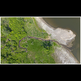
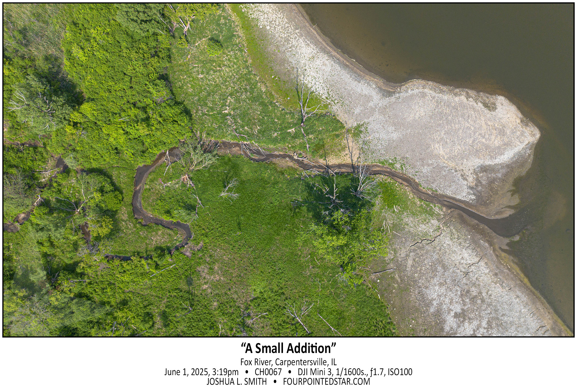
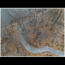
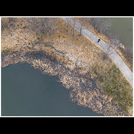
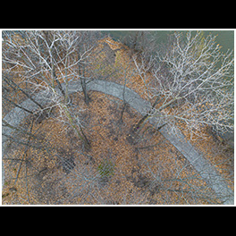
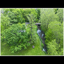
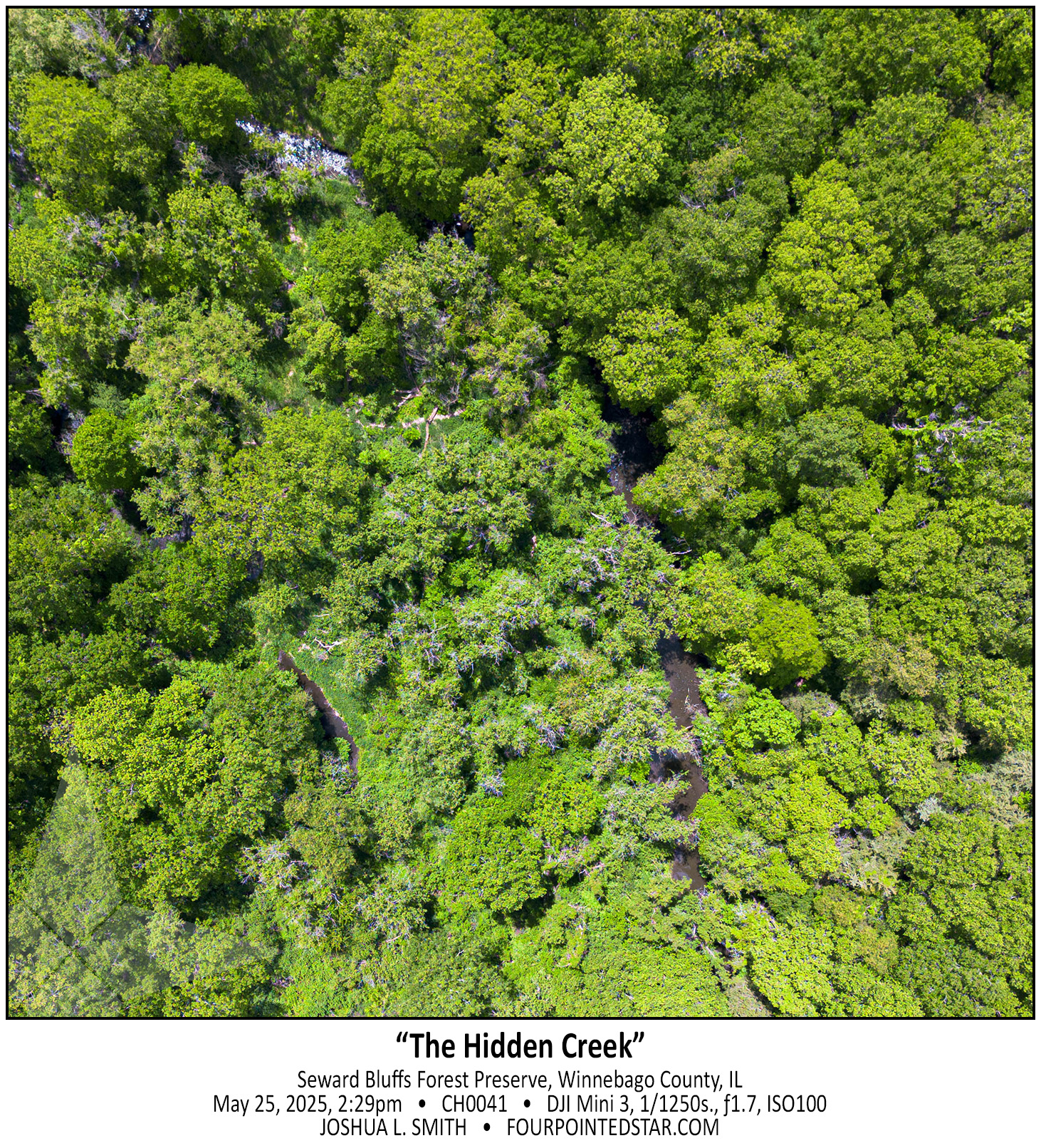
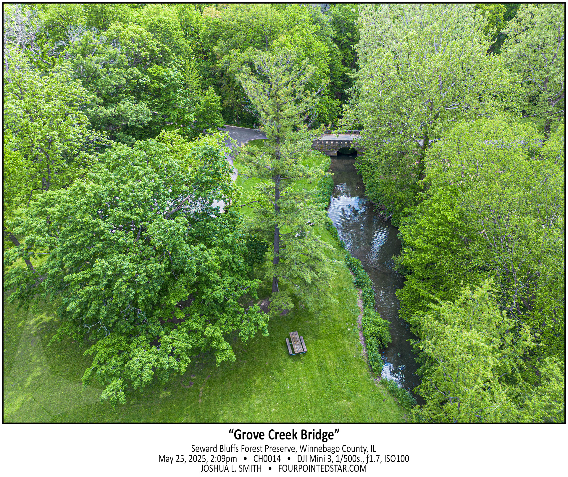
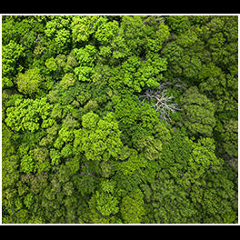
Now this is exactly why I wanted a drone. I hovered over this particular creek as it enters the Fox River for at least 5 minutes, flying the drone to different compositions and then taking a photo. I love the colors, textures, and the winding creek at it flows through the center of the image.

…view older images with the thumbnails below…


CH0041 250525 142923

…view older images with the thumbnails below…


CH0014 250525 140909

…view older images with the thumbnails below…


CJ7829 250525 143355

…view older images with the thumbnails below…


CJ5074 250427 070642


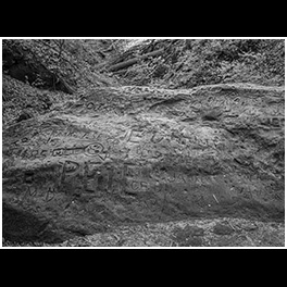
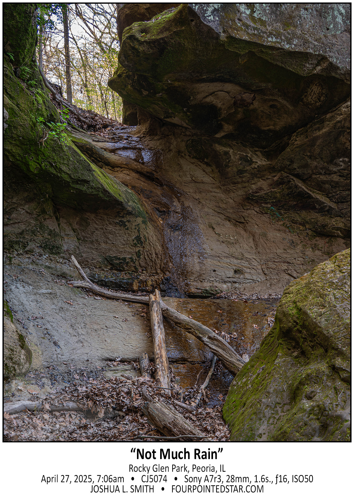
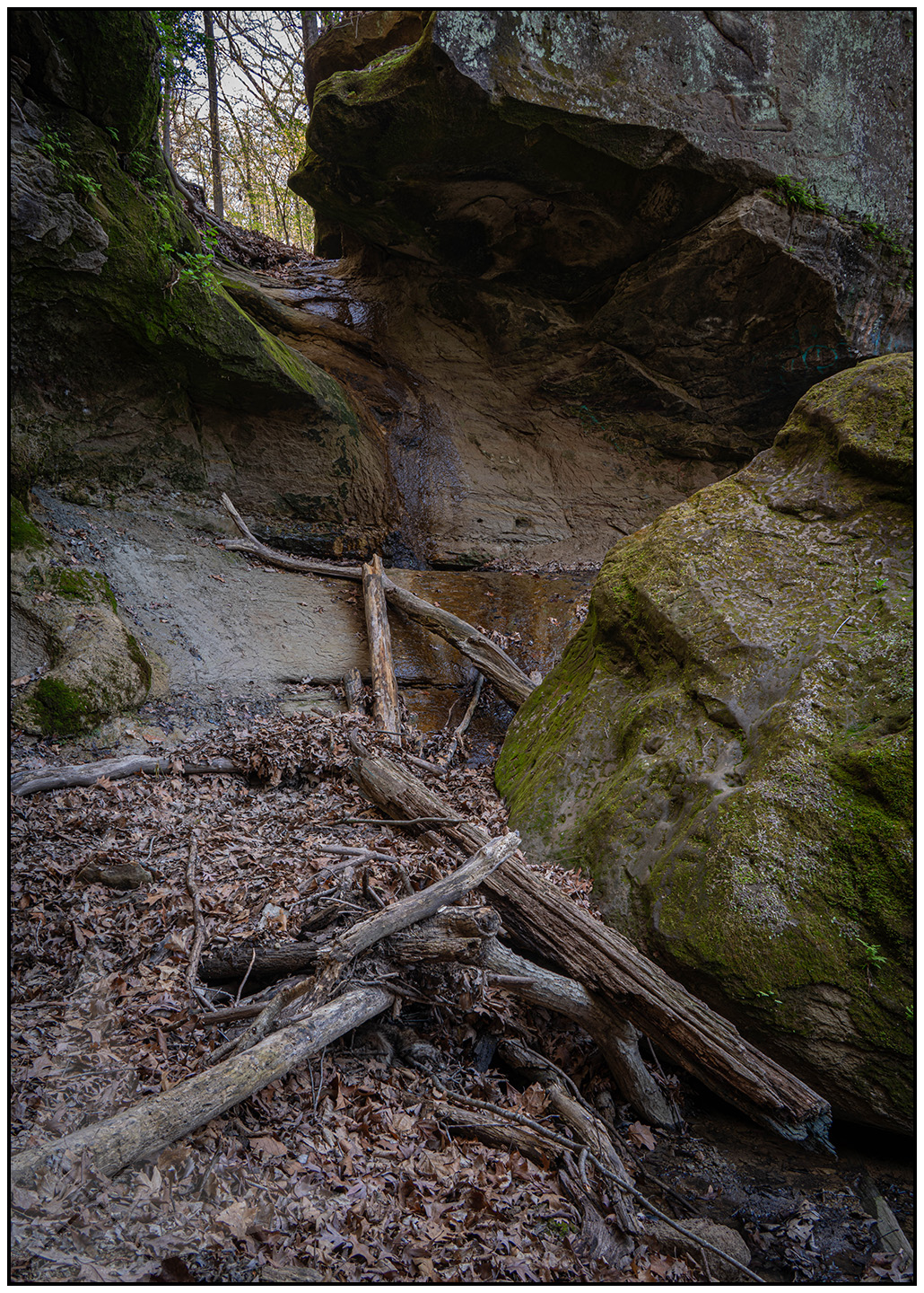
Someday I’ll learn my lesson, only go waterfall chasing after a nice healthy rain!  Rocky Glen in Peoria has a nice vertical hike over a hill and into the valley to reach the waterfall; in the second photo you can see the massive boulder that the water flows underneath after dropping down the cliff face – yes, the same boulder with the carvings & graffiti.

CJ5074-2 250427 070642

…view older images with the thumbnails below…


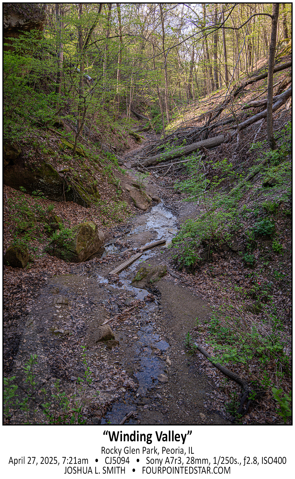
CJ5094 250427 072124

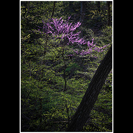
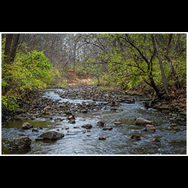
One of the best parts of early spring is that there is enough greenery to add a nice pop of color, but there is not enough greenery to block a longer scenic photo. And I particularly love the fact that the stream reflects the light blue sky in this photo.

…view older images with the thumbnails below…


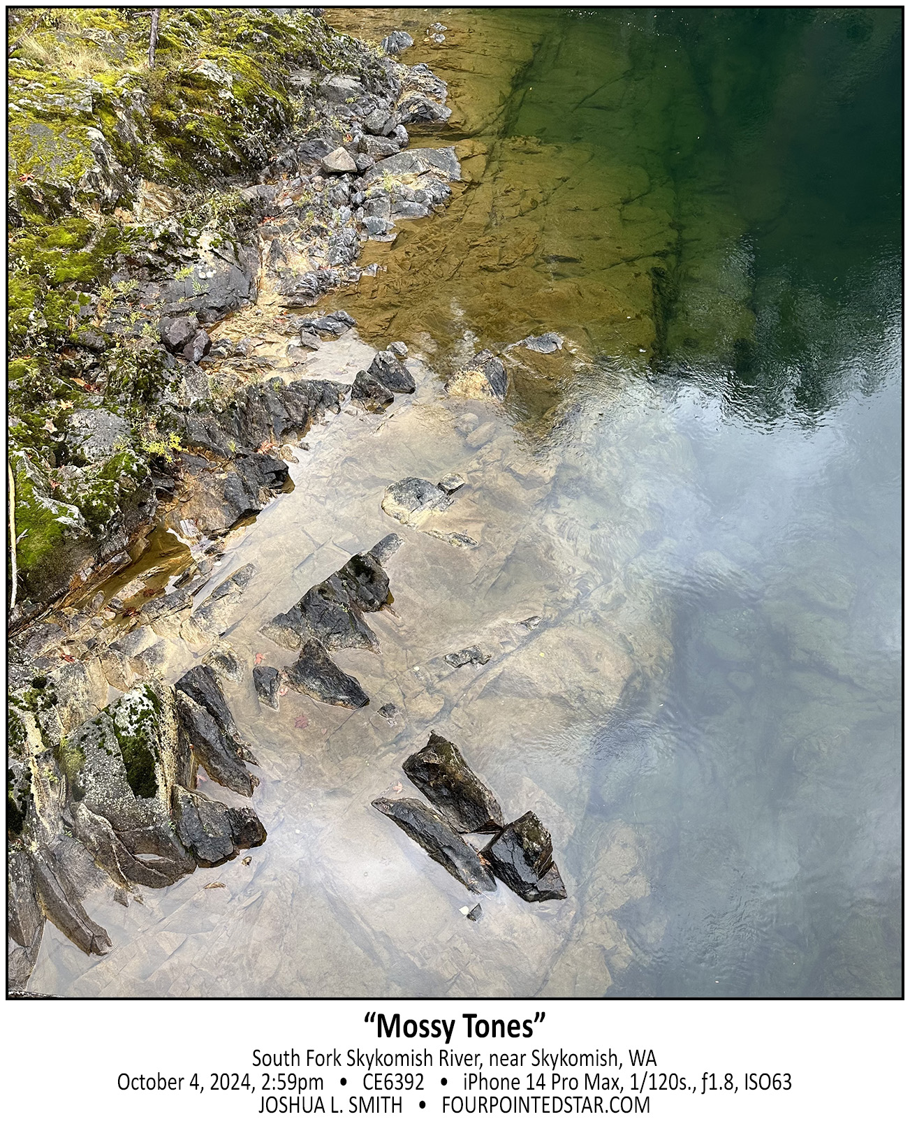
CE6392 241004 145940

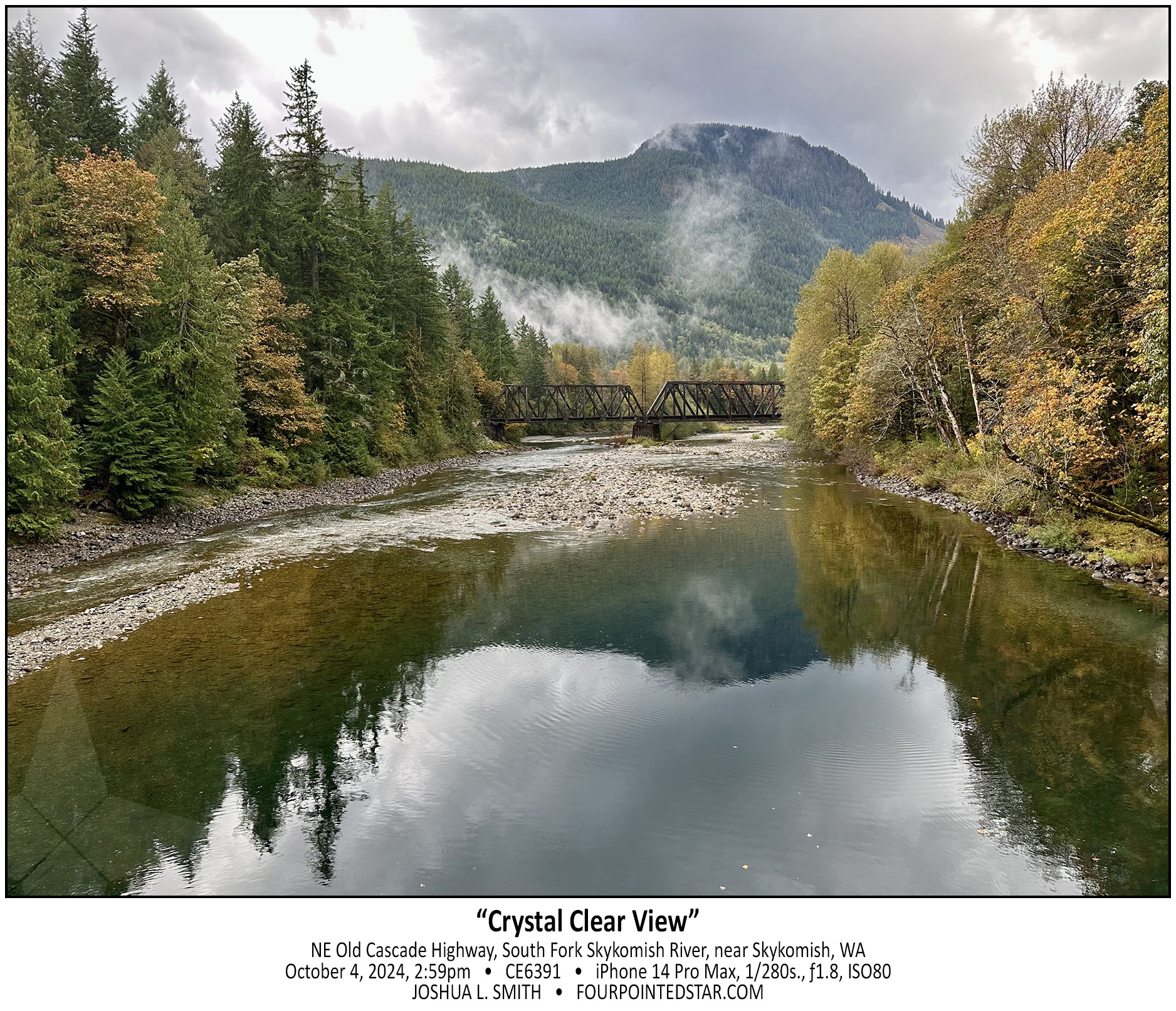
As I looked over the other side of the bridge (from the previous photo), the colors and detail in the shoreline struck me. The water was so clear that it felt like you could see dozens of feet into the river. I love the balance of shoreline, saturated colors, underwater cliff, and the reflection of the forest in this image.

CE6391 241004 145919

Sarah pointed out this view. We passed by this vantage point on the way west that day, so when we returned east, she asked me to photograph this portion of the river. I wish that I could have captured a train on the bridge, but that would almost ruin the view.

CG0067 241004 162337

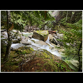
Of course the series of waterfalls was my main focus when we stopped at Deception Falls Park, but the view downstream was equally gorgeous. The stream disappeared into the forest and fog and the small island added that extra touch of natural beauty. The stream’s soft green coloring and the damp air added to the mystical feelings that day.
 

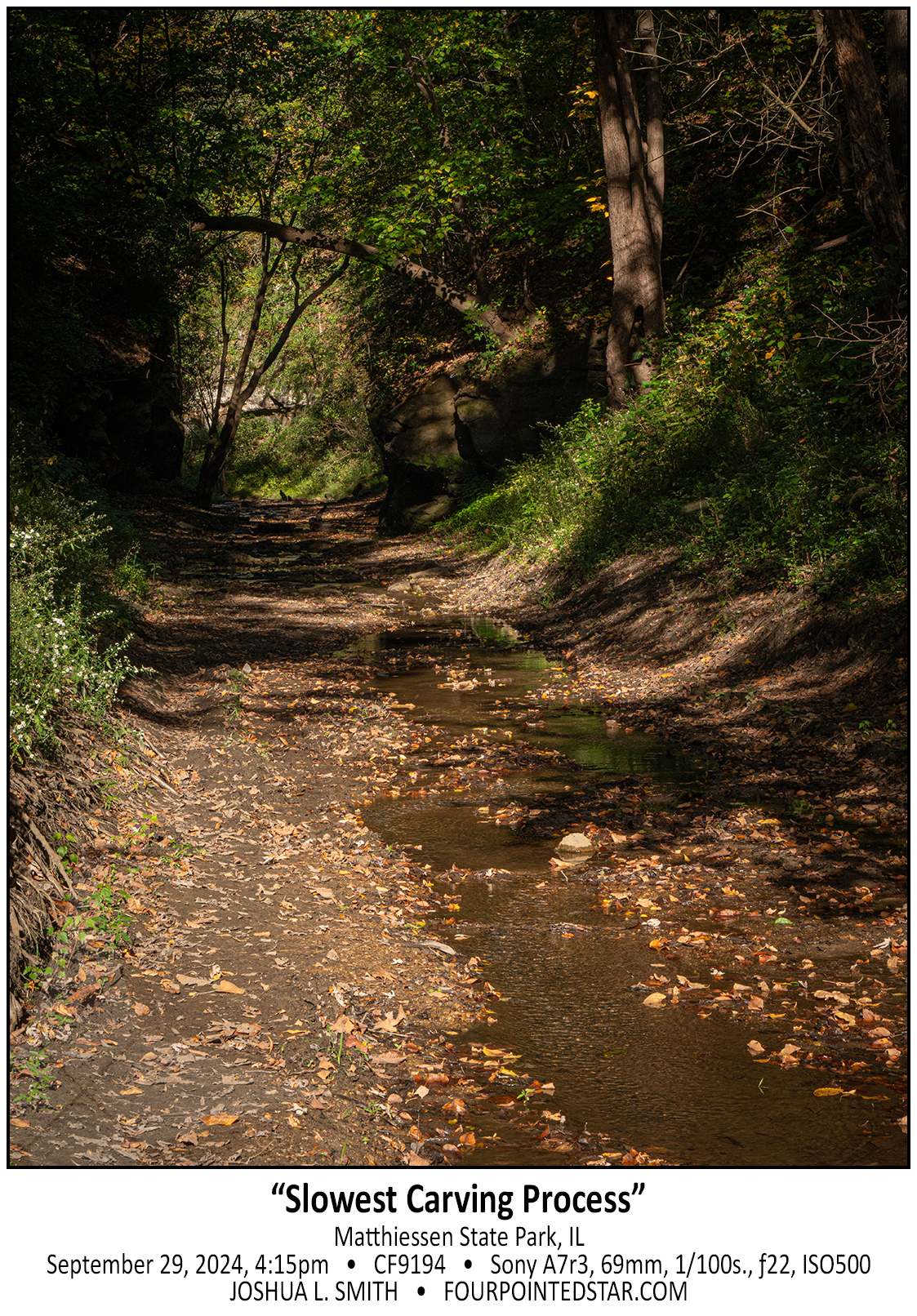
CF9194 240929 161534

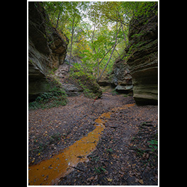
The tiny streams that pass through the canyons communicate a powerful message – little actions over and over for a long time yield huge results. The daily trickle of water combined with the spring floods are a lot like our daily lives … for better or worse.

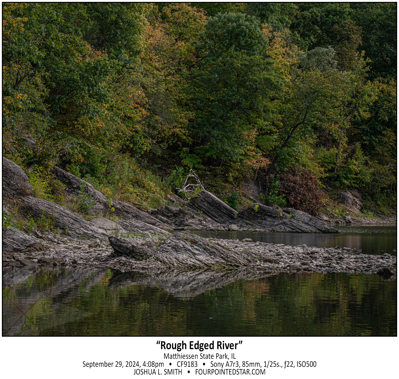
CF9183 240929 160823

There’s something ancient and powerful about the angled shapes of these stones along the Vermillion River. The way they jut out into the air is an incredible reminder of the power of nature and geological forces and honestly such a beautiful sight.

CF9160 240929 155050

In my mind, traveling before 1830 would have been absolutely terrifying. In the past 200 years, transportation across country has progressed from walking and horseback to paved roads, trains, and even aircraft. This view upstream near the Vermillion River reminds me of all of those dangers.

…view older images with the thumbnails below…


CF9084 240929 152229

There is something fascinatingly unattractive about this photo. It’s not that humans have ruined a scene – so many beautiful vistas are ruined by power lines, trash, or other remnants of humanity. No, this is just the backwater area of a creek that is very low right now; as you’ll see in a photo later in this series, barely a trickle.
The stone wall is muddy and inaccessible, and the water was murky and dirty. But I still love the location and the reminder that not everything is pretty – and it doesn’t have to be either.

…view older images with the thumbnails below…


CF9068 240929 152151

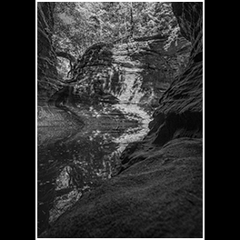
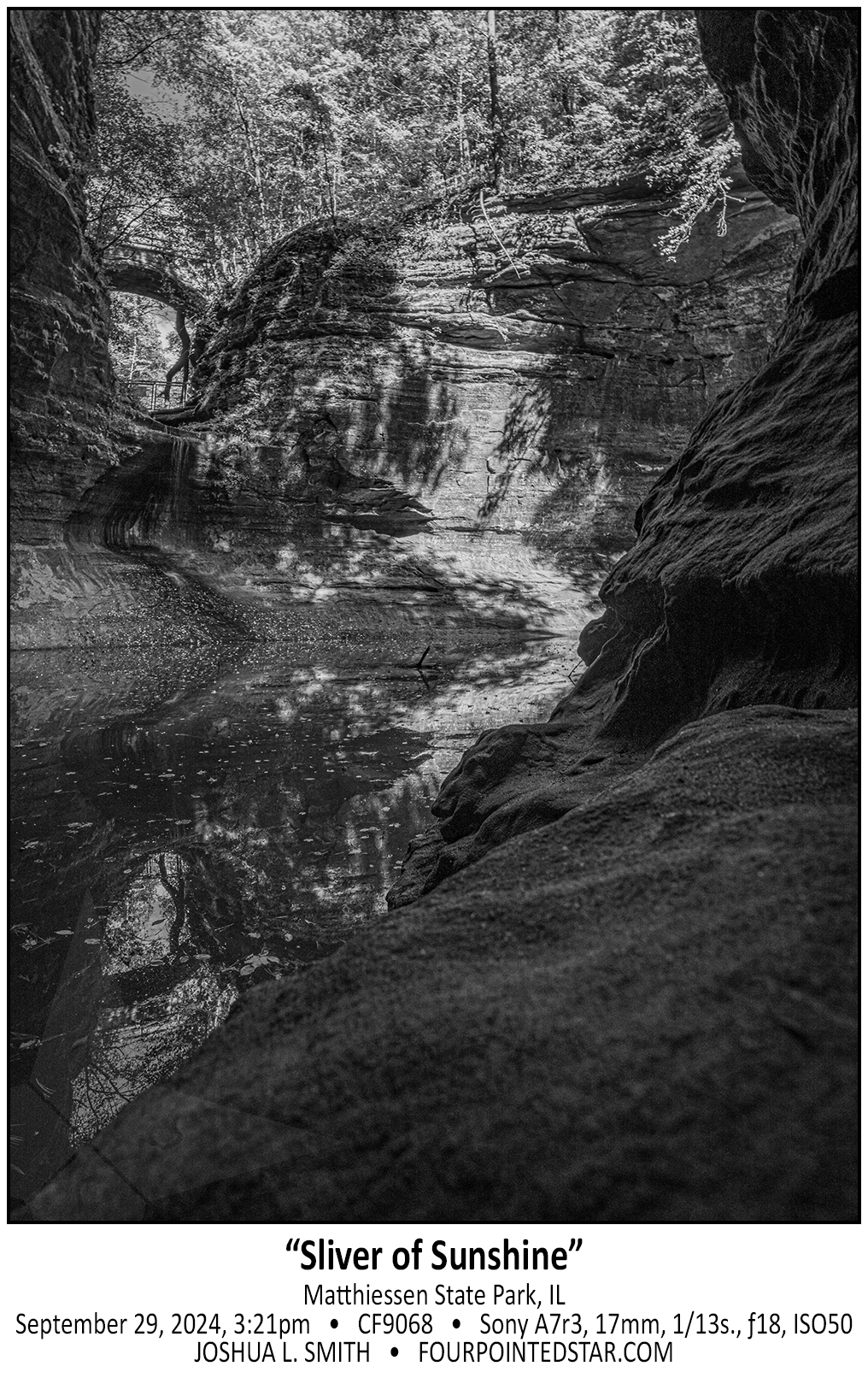
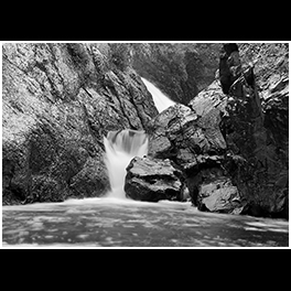
If you visit the lower area of Matthiessen State Park, you can walk through a naturally carved tunnel on the left side of the canyon to get a unique view of the waterfall and cliff face. While I was standing there, I felt like this was my little hiding place, so I edited this monochrome image to match that feeling.

…view older images with the thumbnails below…


CF9050 240929 150607

I first visited Matthiessen State Park back in 2014 on a day that I photographed 4 of the waterfalls at Starved Rock as well. You can see how sunny it was in quite a few of the photos, but the sunshine made it almost impossible to get a longer exposure of Cascade Falls – that is, until a cloud drifted overhead. The same thing happened throughout the day on this trip to Matthiessen; the clouds drifted overhead allowing for some longer exposures.

…view older images with the thumbnails below…


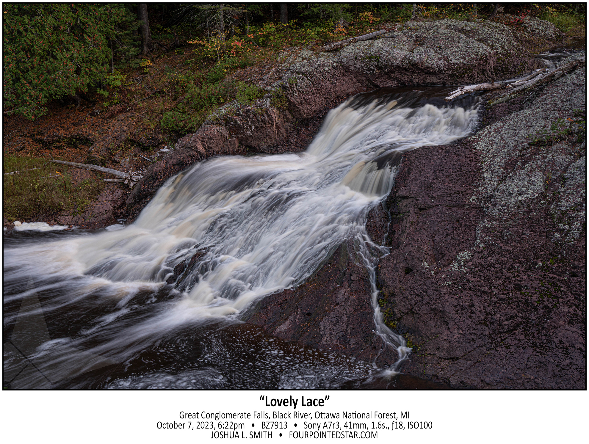
BZ7913 231007 182229

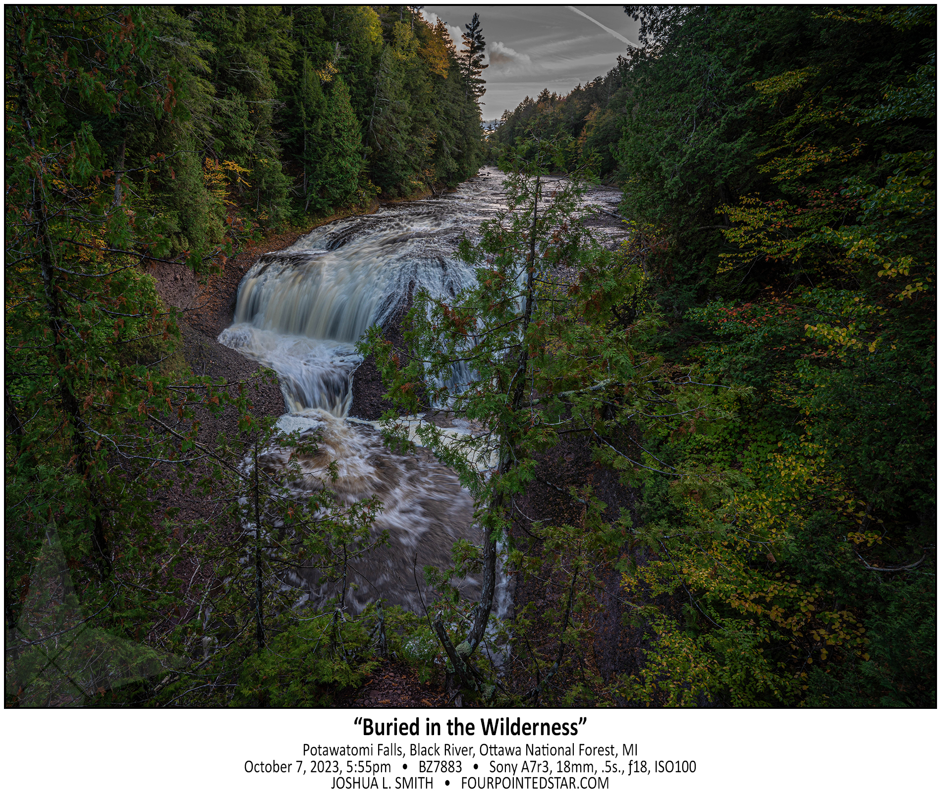
BZ7883 231007 175501


CG6990 241116 103823(1)

CG6971 241116 103823(1)

BZ7873 231007 173152

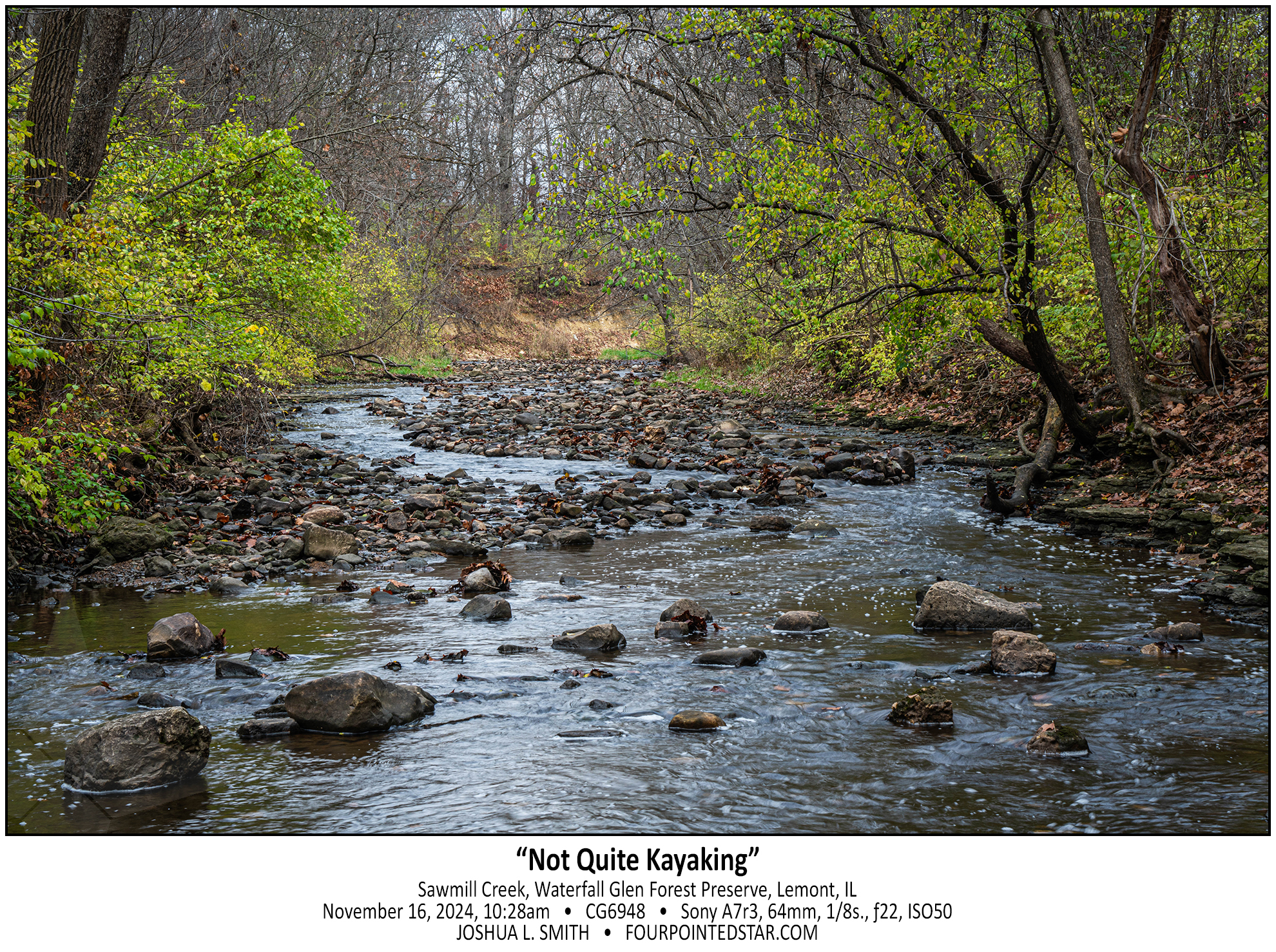
CG6948 241116 102837

BZ7698 231007 165421

BZ7533 231007 123845

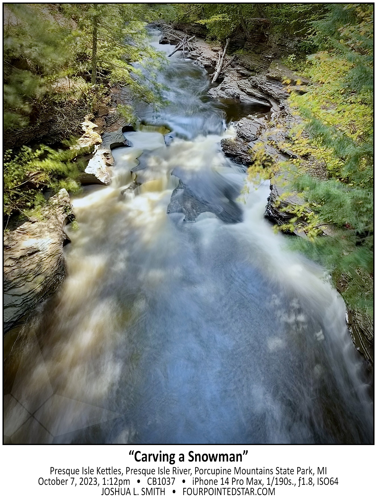
CB1037 231007 131225

CB1019 231007 111939

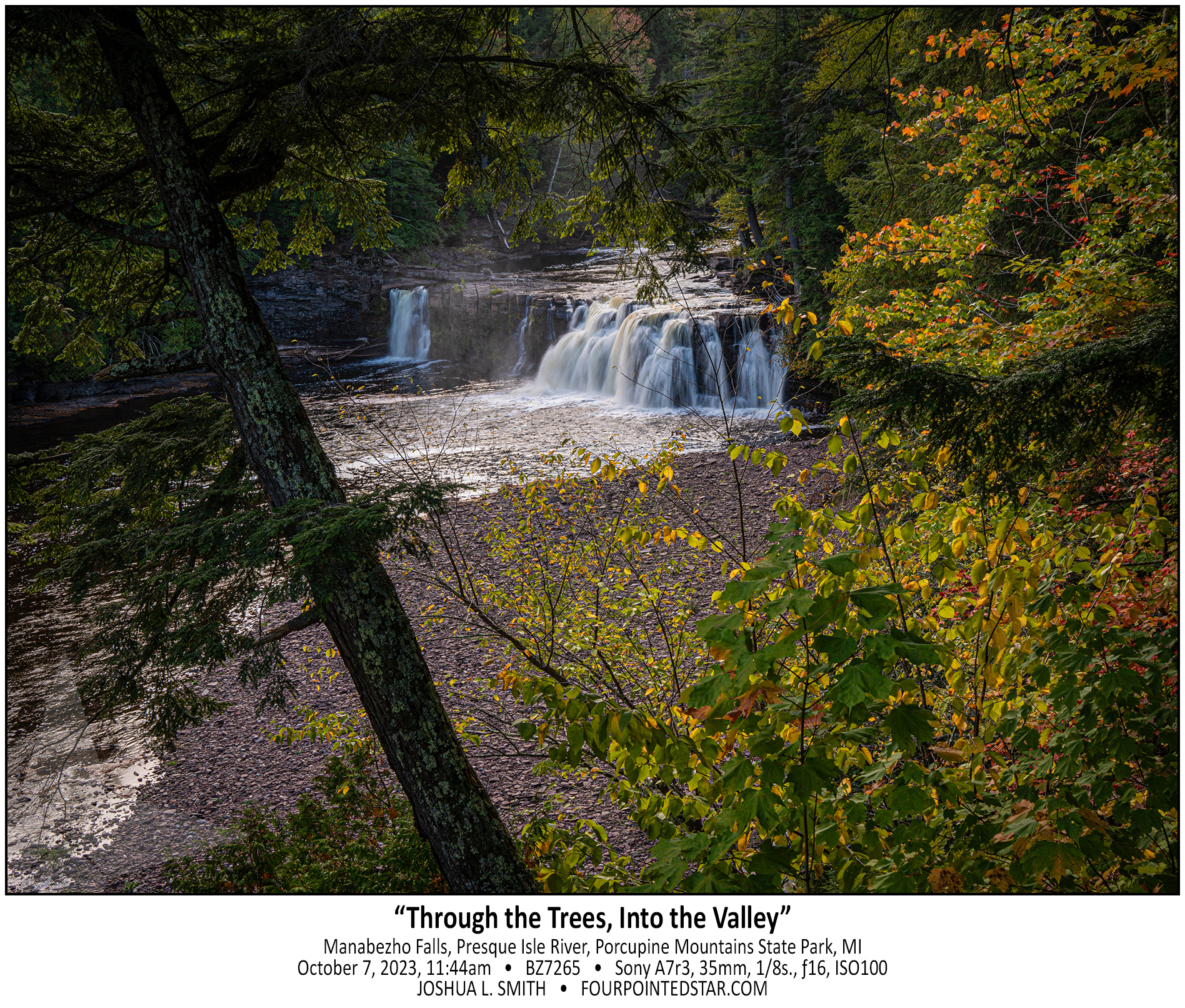
BZ7265 231007 114457

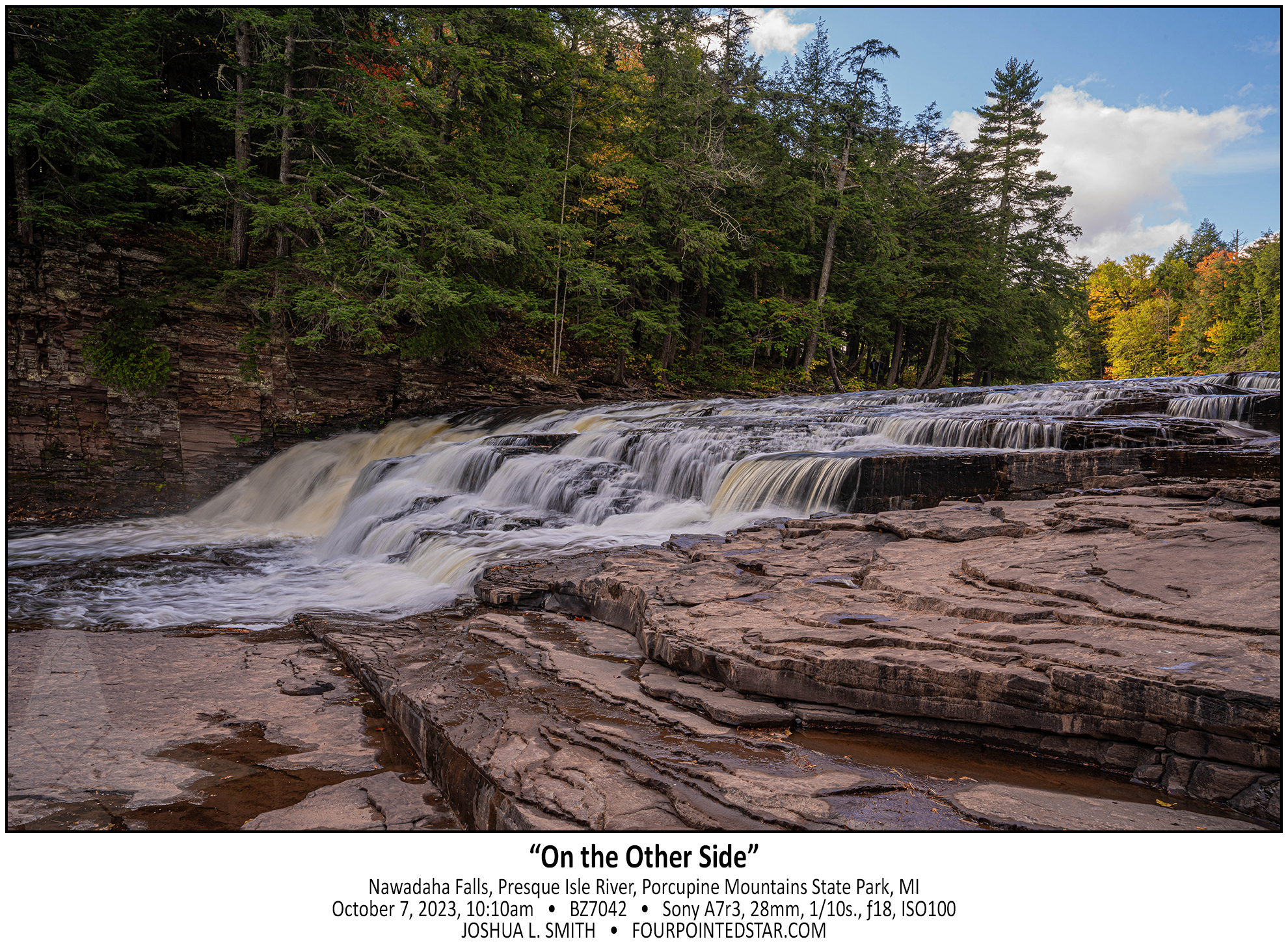
BZ7042 231006 101040

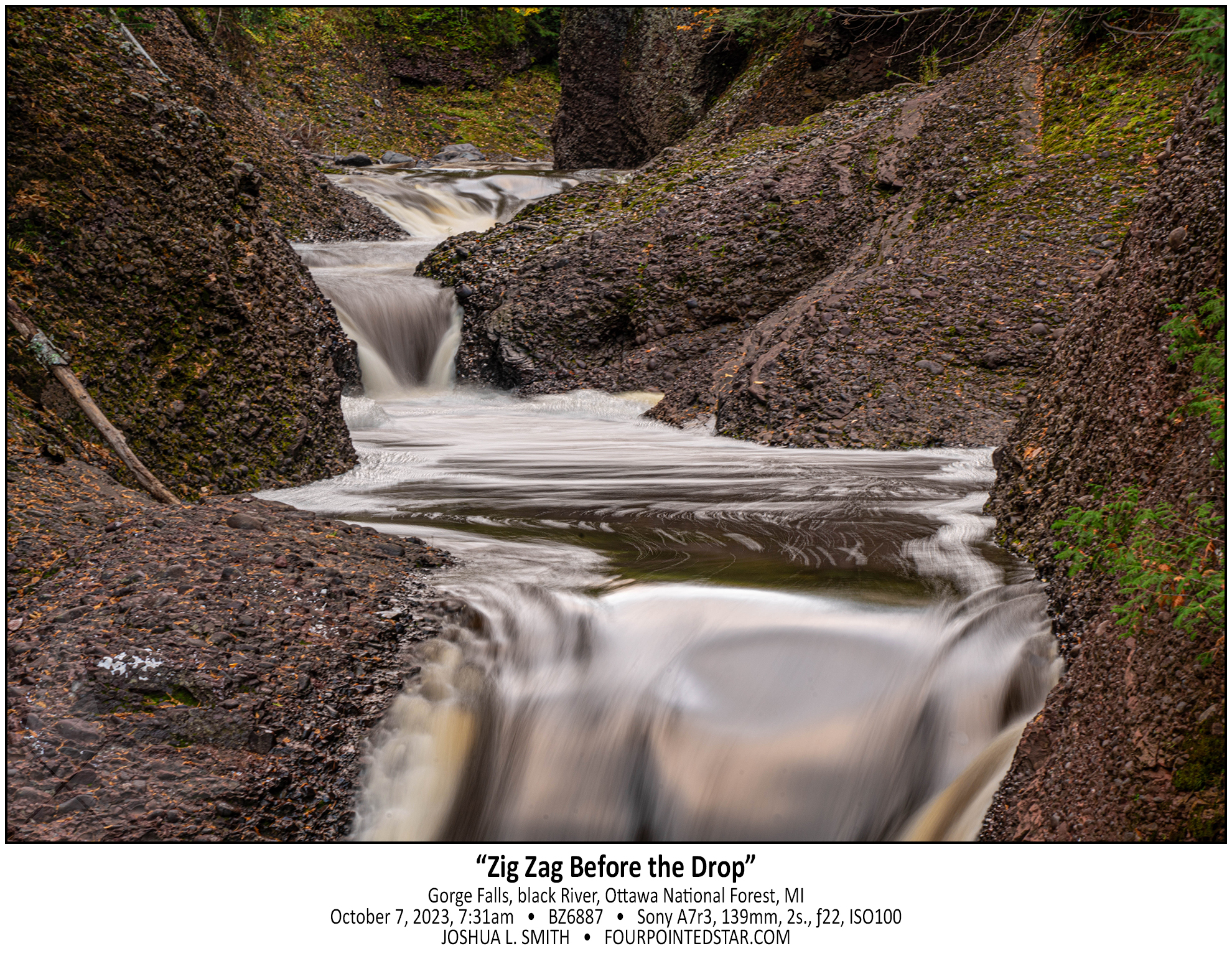
BZ6887 231007 073135

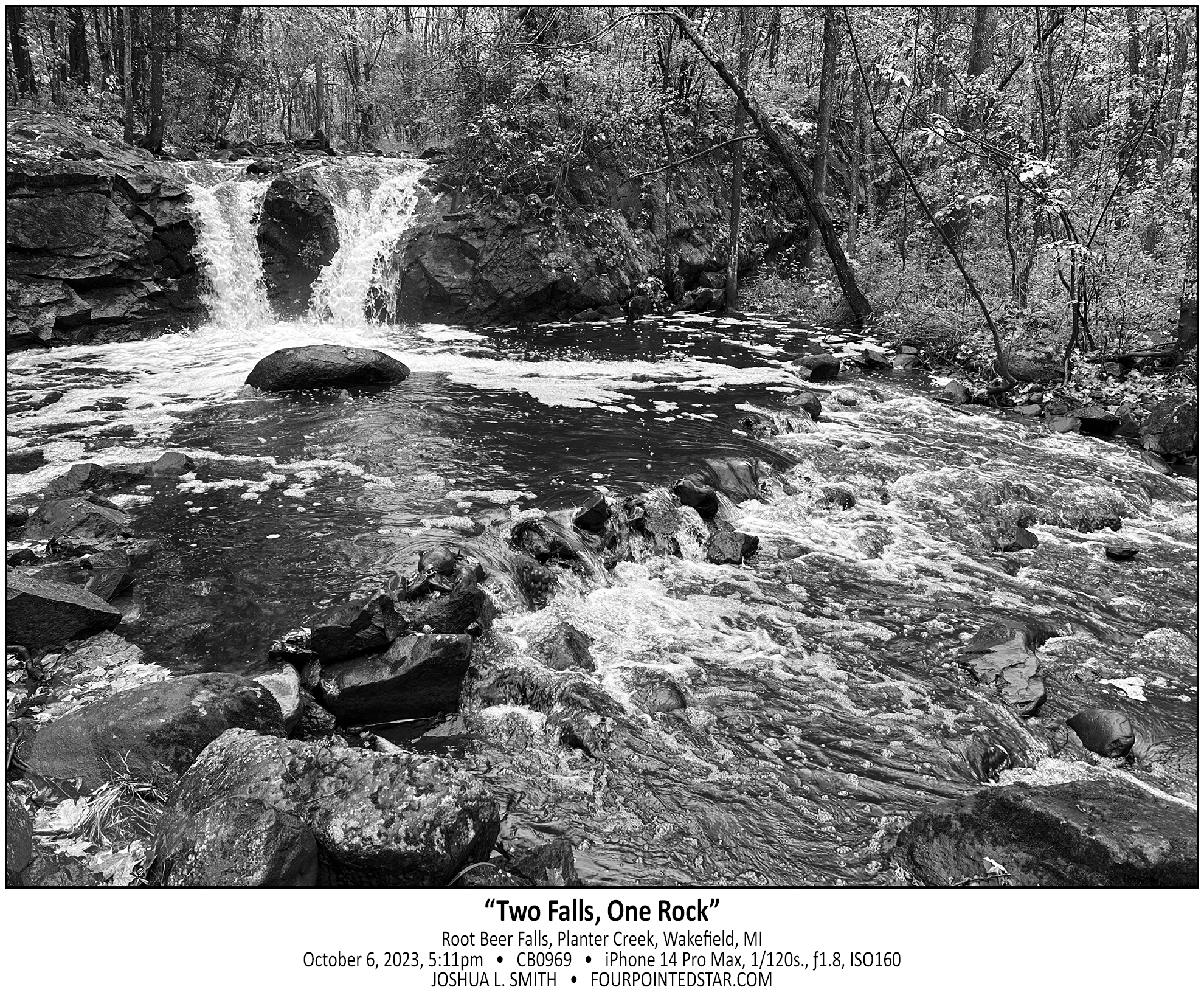
CB0969 231006 171125

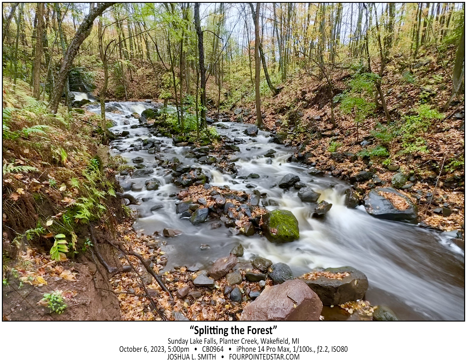
CB0964 241006 170015

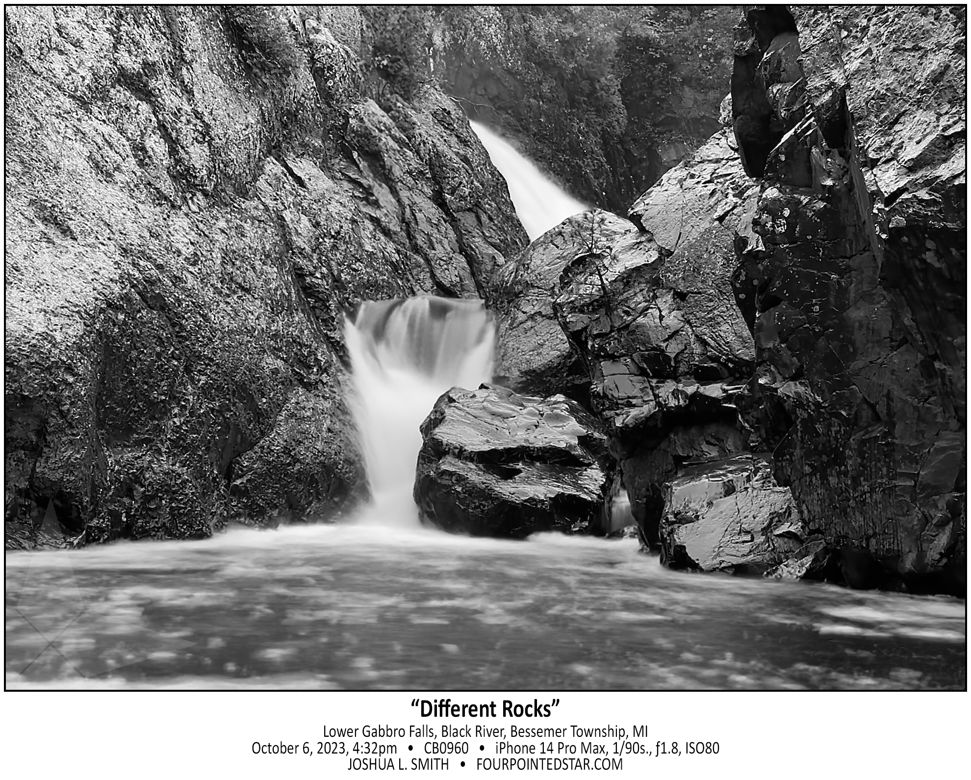
CB0960 231006 163233

BZ6796 231006 161435

CB0954 231006 153837

CB0948 231006 152736

BZ6210 231005 113540

BZ6161 221005 112439

BZ6130 231005 112016

BZ6216 231005 114033

BZ5841 231004 155808

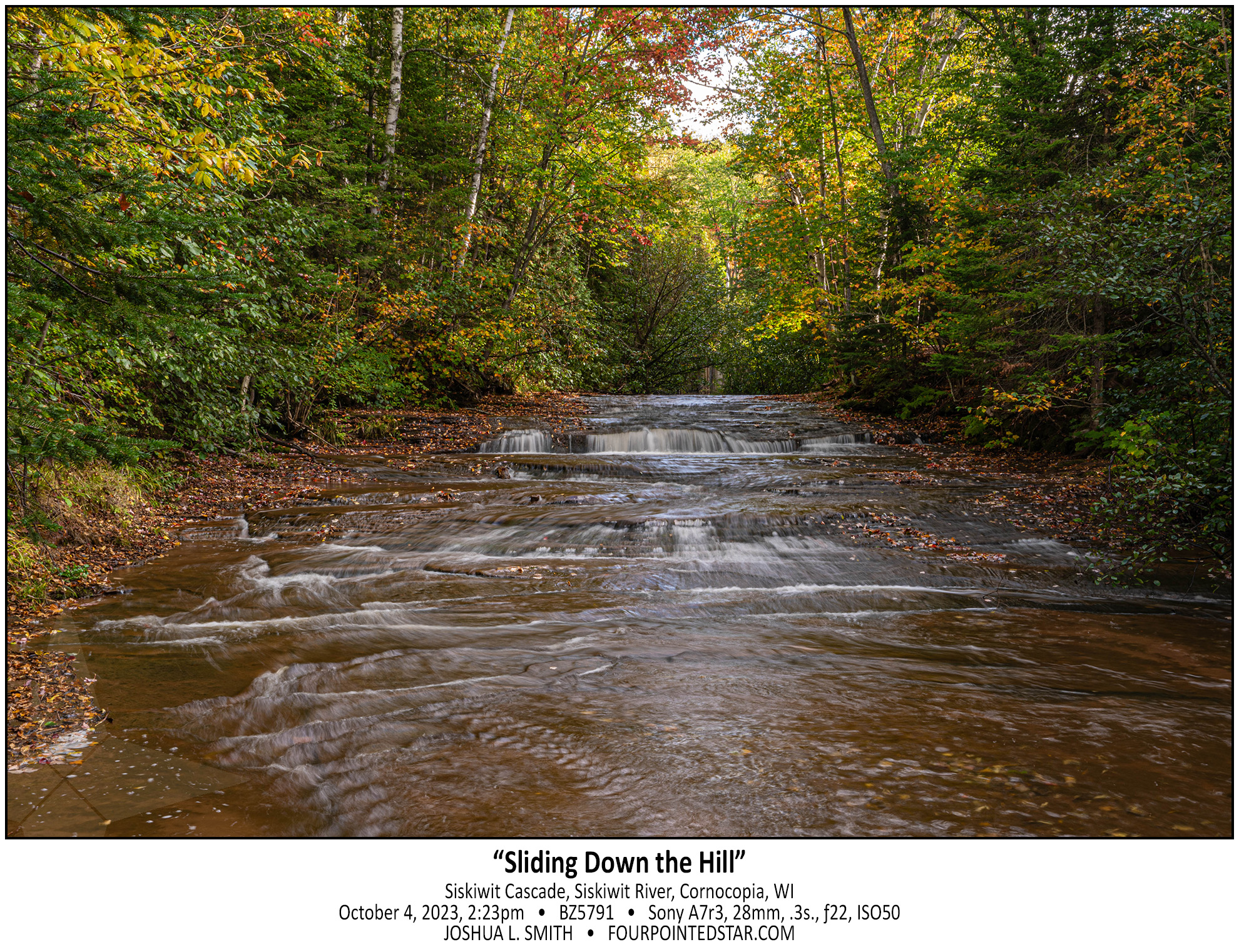
BZ5791 231004 142342

BZ5786 231004 134617

BZ5712 231004 132641

BZ5673 231004 115639

BZ5629 231004 110408

BZ5557 231004 100306

BZ5539 231004 095623

BZ5489 231004 094514

CB0684 231004 093814

BZ5384 231004 085728


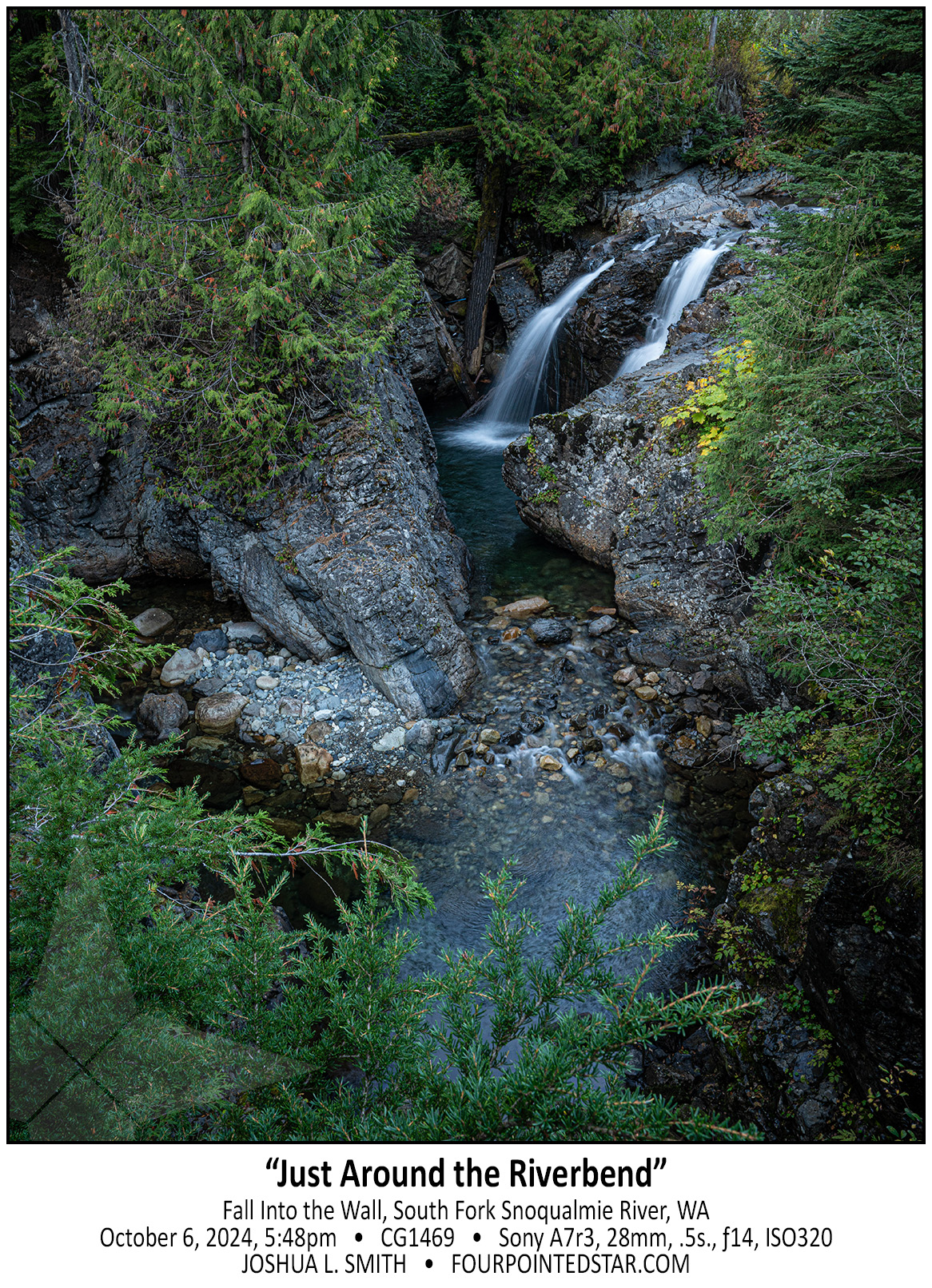
CG1469 241006 194820

Fall into the Wall was the the best waterfall that we visited on our trip to Seattle. This waterfall is tucked in-between the East and West-bound traffic of Interstate 90 near Snoqualmie Pass. In fact, just out of the top of my photo is the eastbound traffic. Despite being within earshot of the interstate traffic, the setting was perfectly serene. The side road that offers this view is about 20 feet higher than the creek bed and offers wonderful views of the otherwise nearly inaccessible falls. If dusk had not been approaching, I would have stayed for far longer enjoying the horseshoe bend.

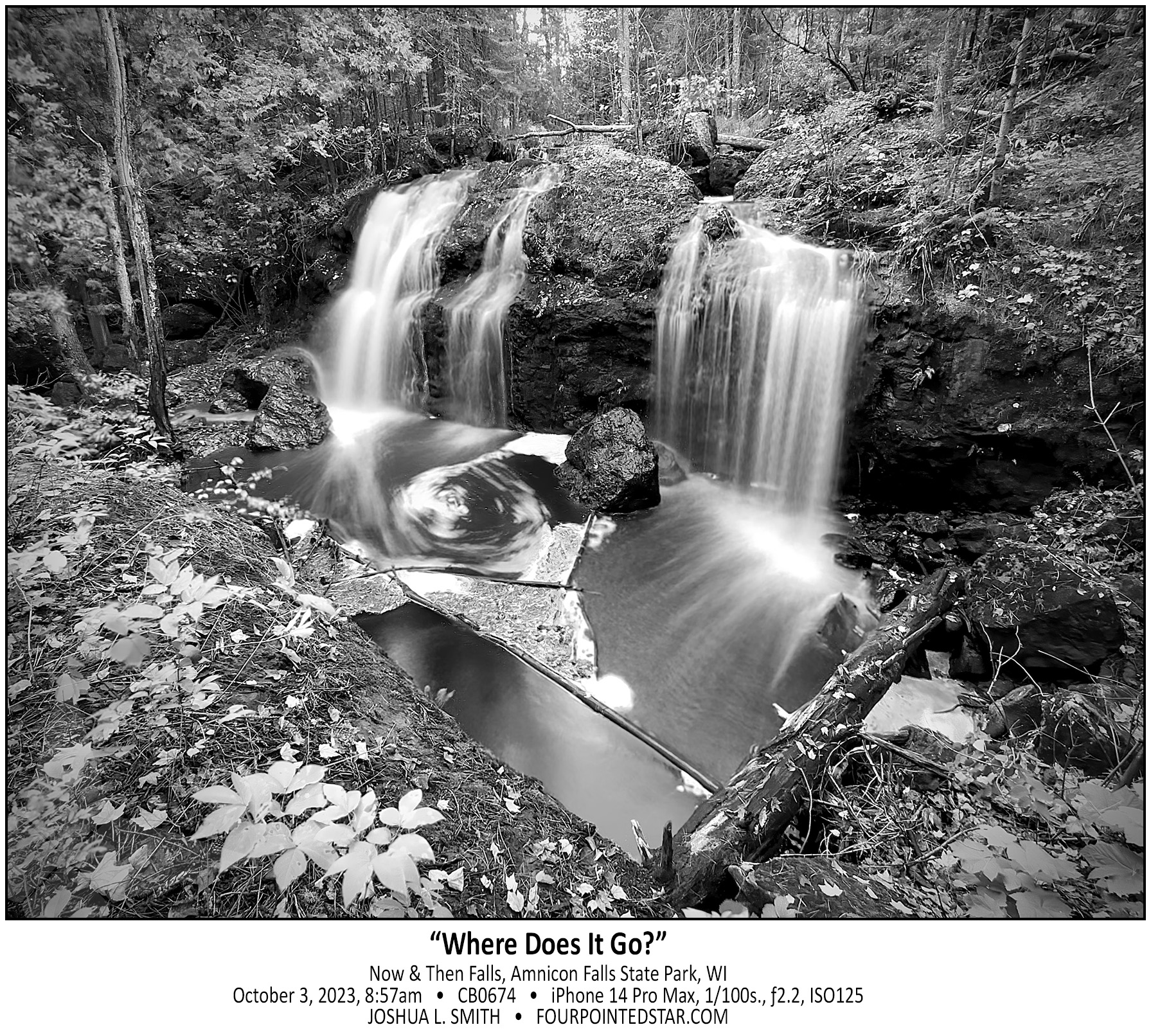
CB0674 231004 085740

CG1458 241006 192021

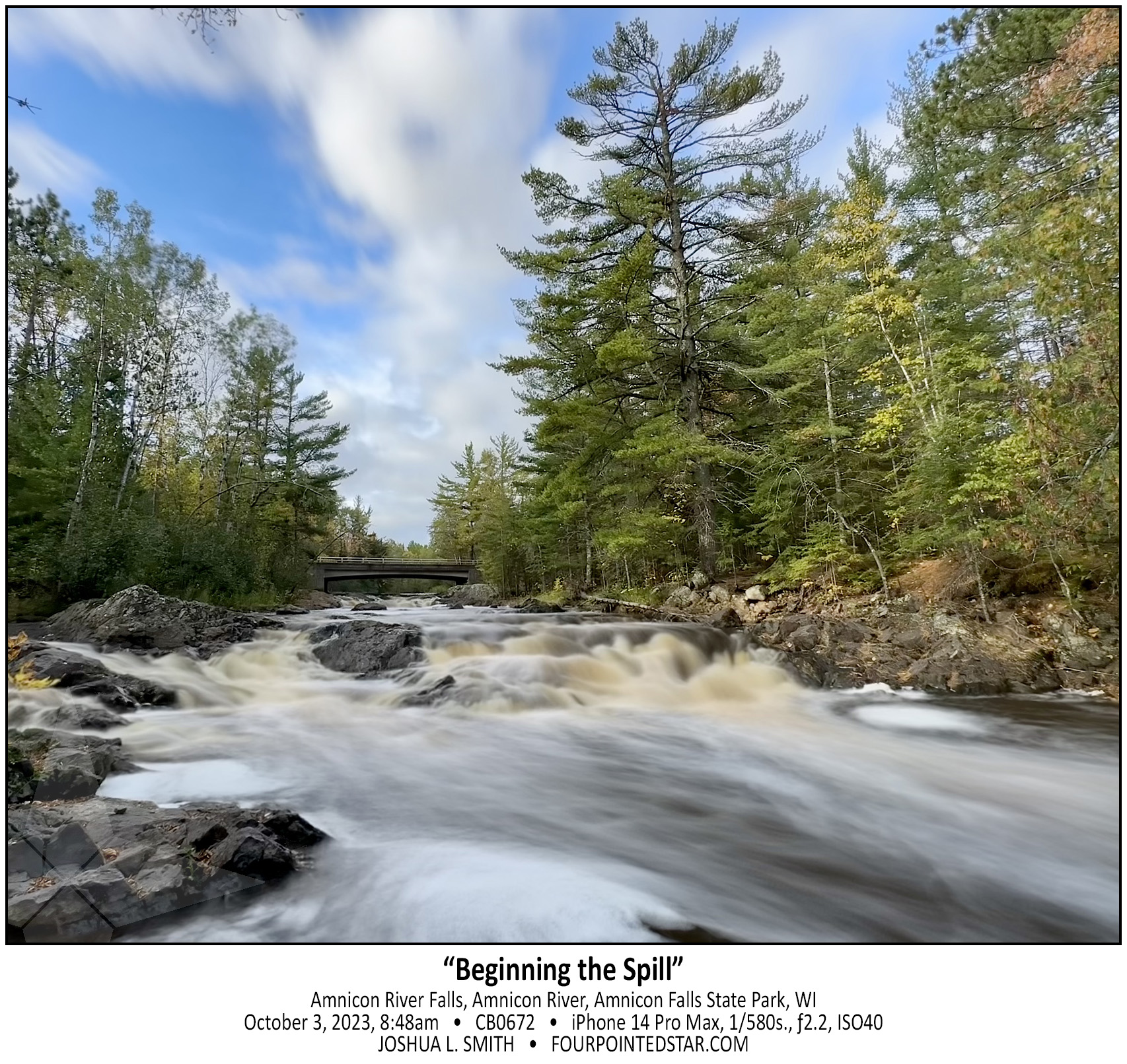
CB0672 231004 084828

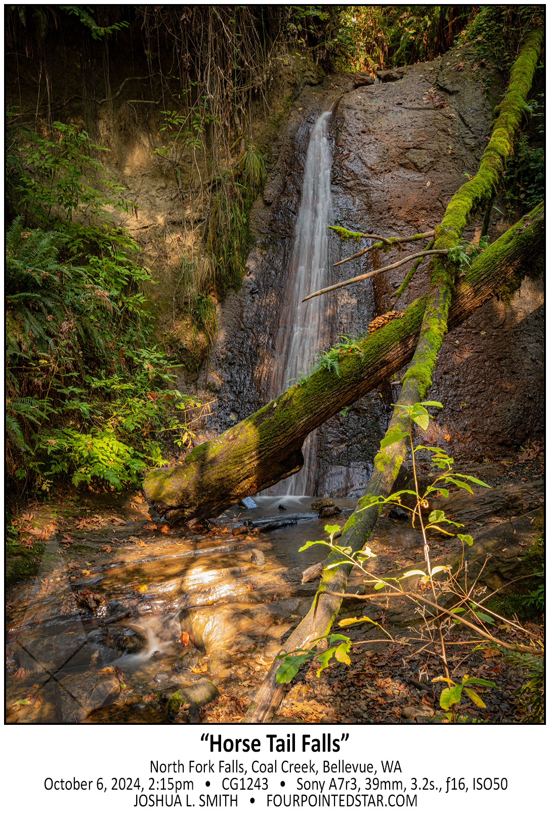
CG1243 241006 161518

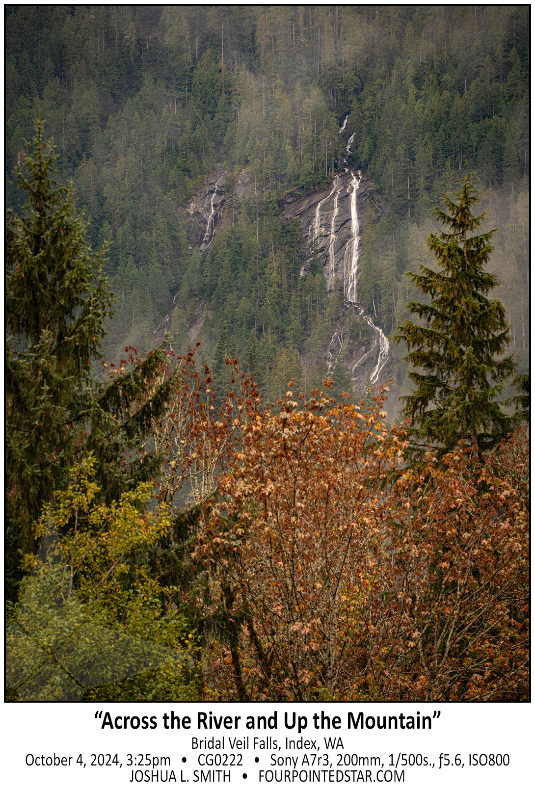
CG0222 241004 172503

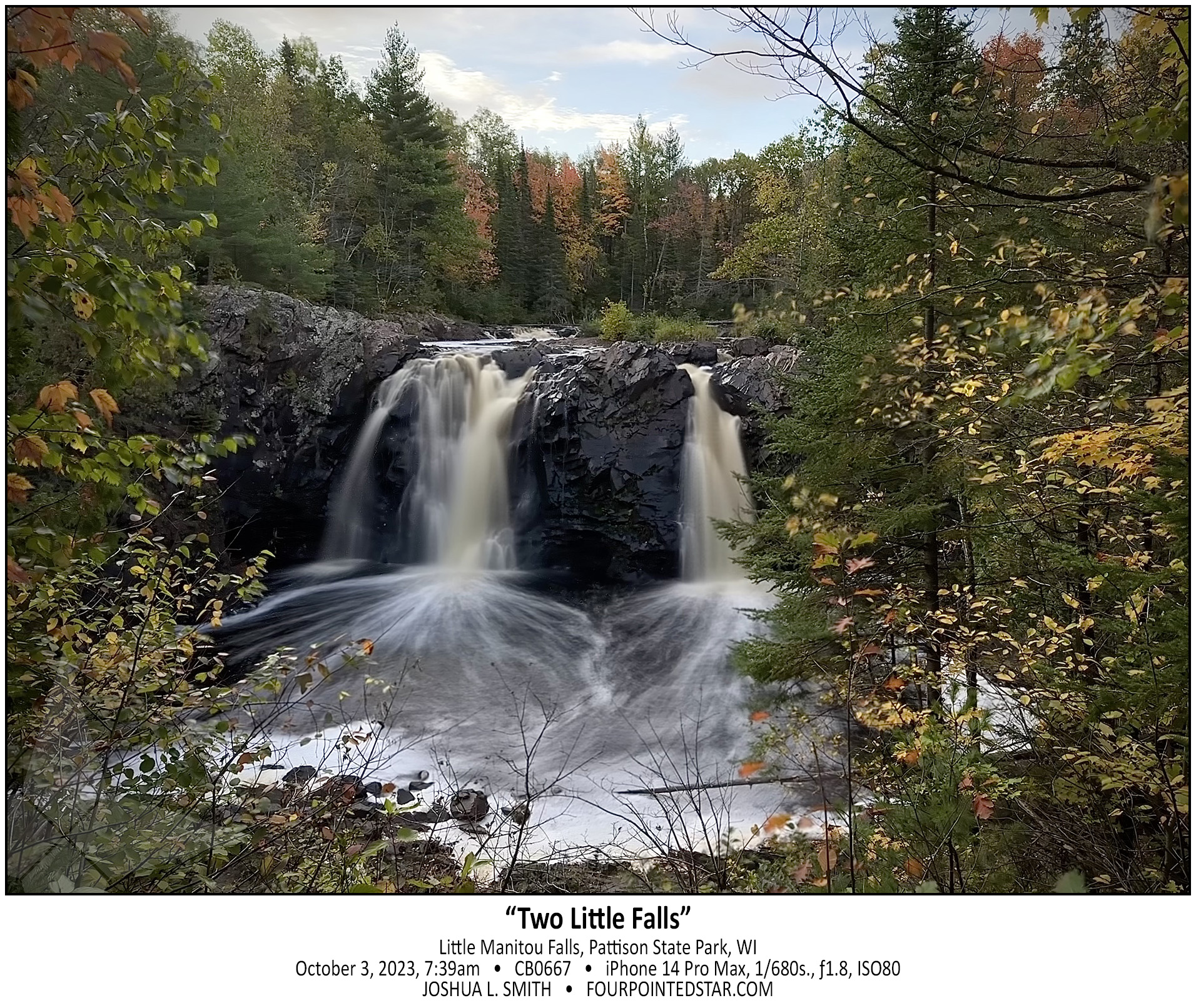
CB0667 231004 073953

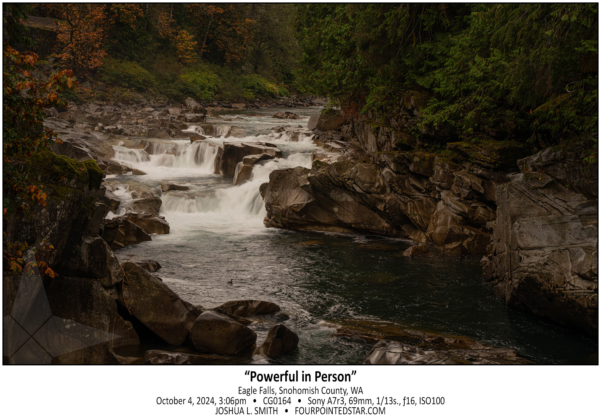
CG0164 241004 170634

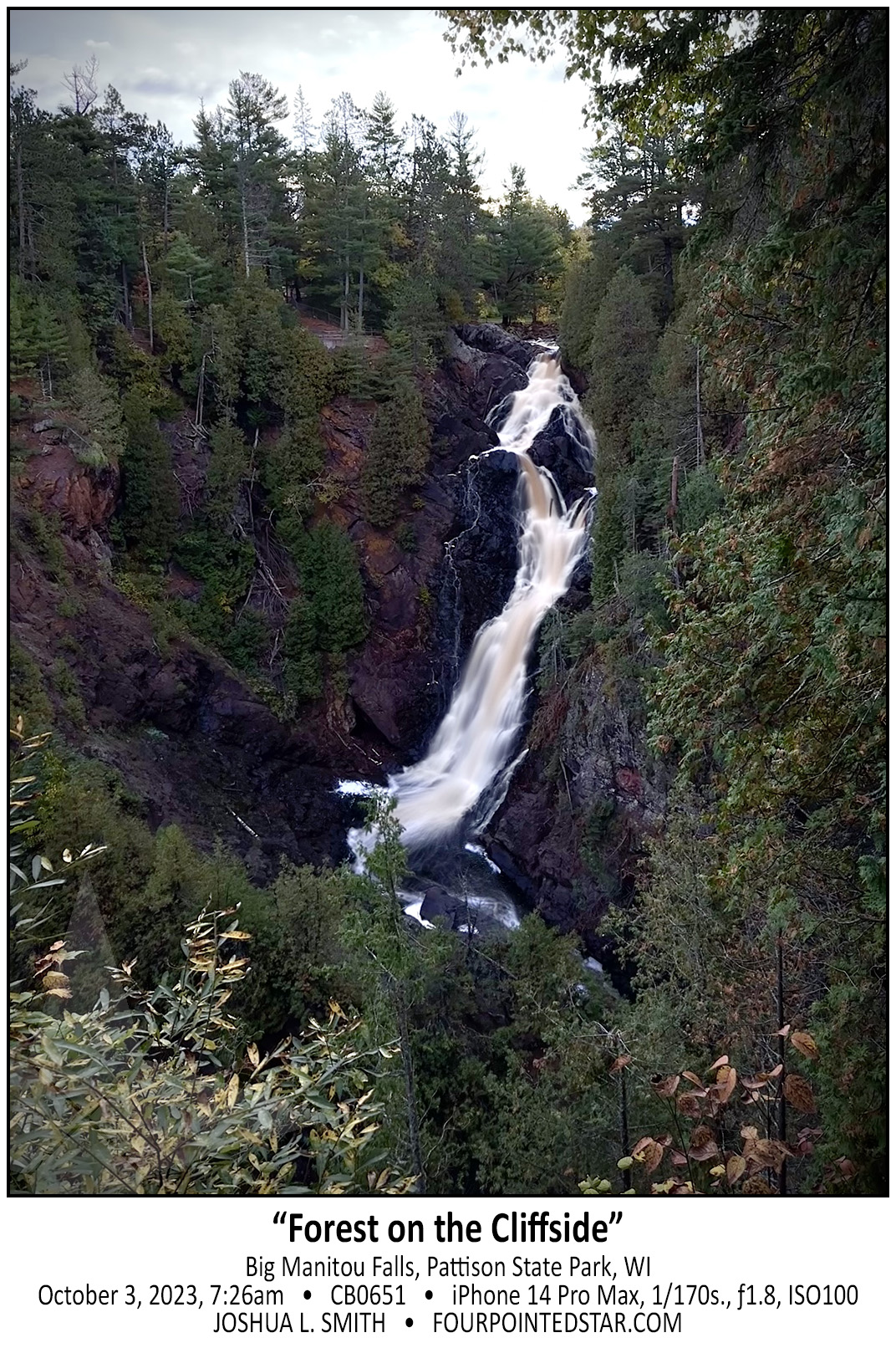
CB0651 231004 072608

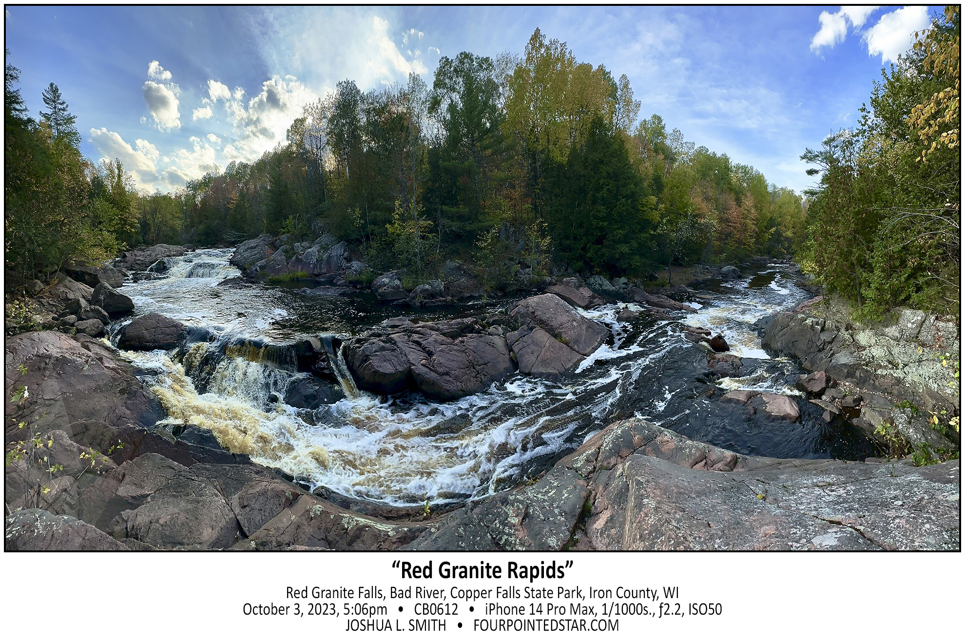
CB0612 231003 170659

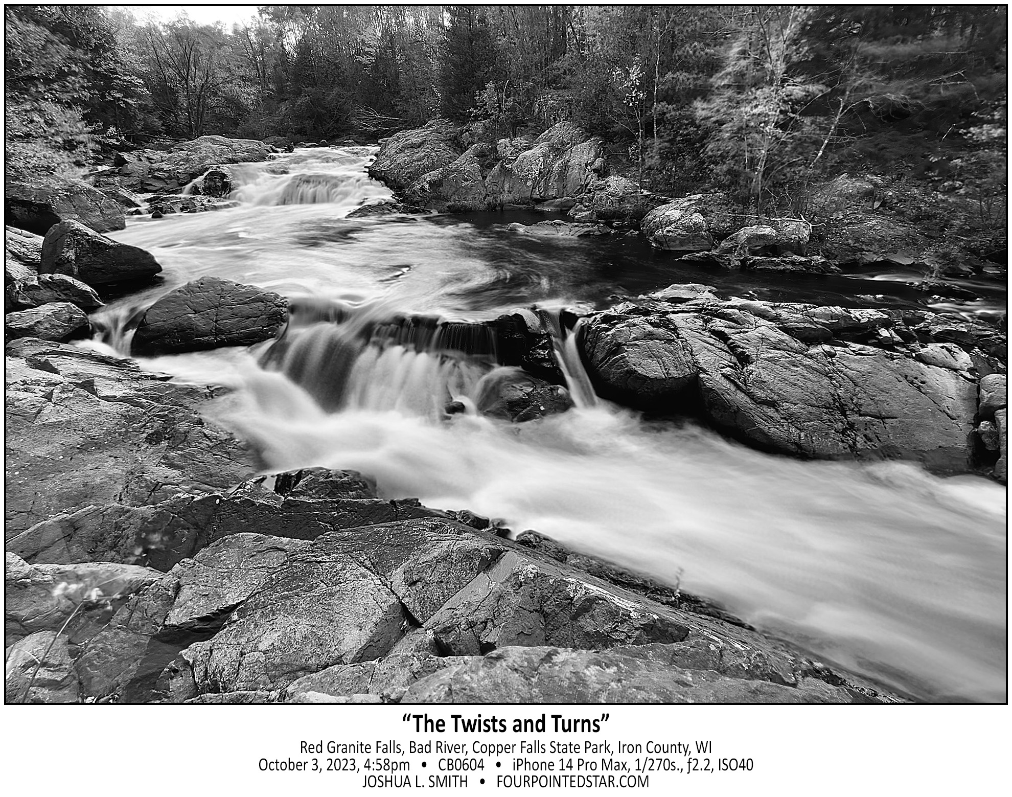
CB0604 231003 165837

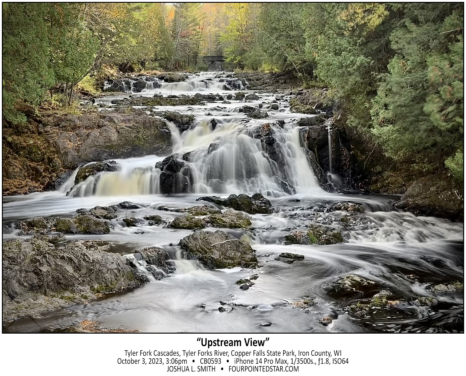
CB0593 231003 150619

CB0589 231003 144112


CG0043 241004 141957

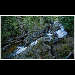
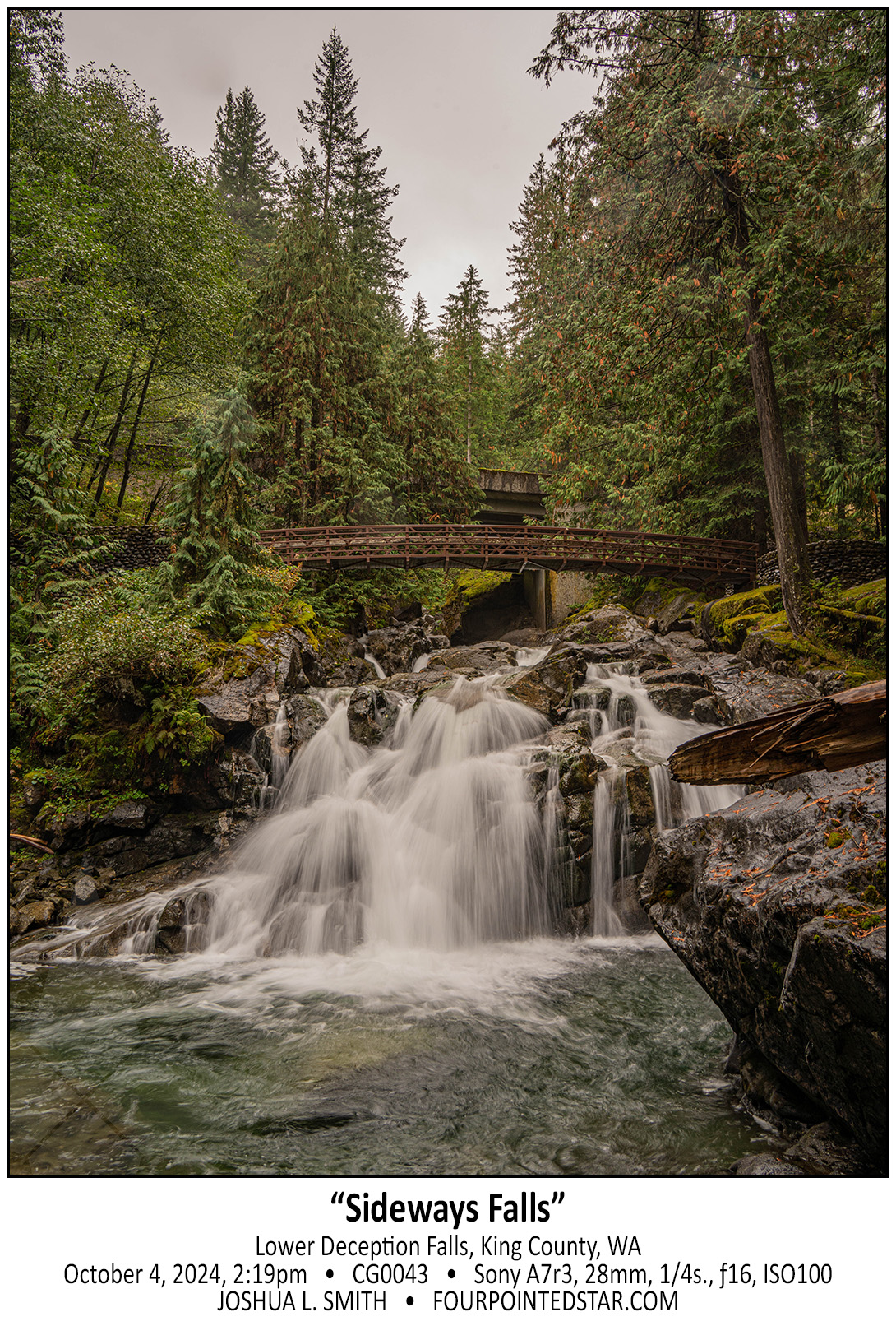
This series of falls reflected an incredible decrease in elevation. This is the last segment of large falls, but there is significant series of rapids and cascades even further down the stream and the entire area is filled with incredible sights and scenes.

CB0586 231003 143120

CG0011 241004 141558

As we drove out of the woods, I realized that we could park alongside the road and see a part of the falls. Then once we walked to the bridge over the stream, you could see a walkway under the bridge, so of course, I climbed down to the walkway to capture this photo!

CB0582 231003 142656