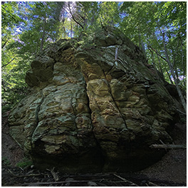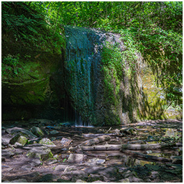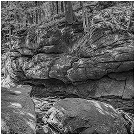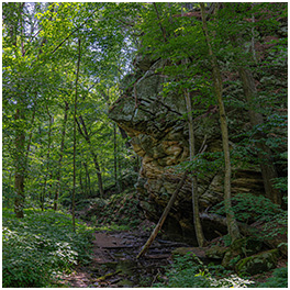
Tagged: cliff

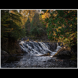
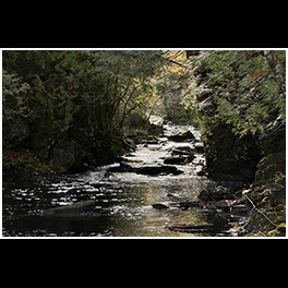
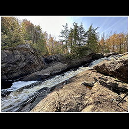
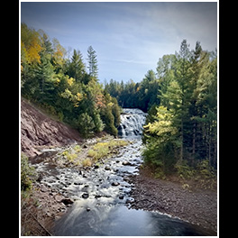
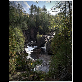
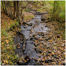
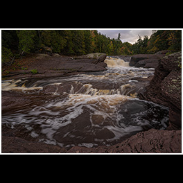
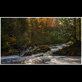
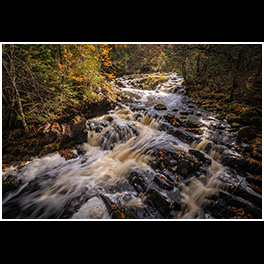
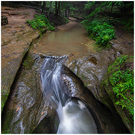
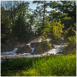
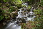
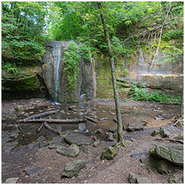
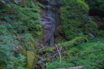
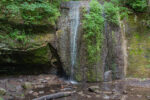
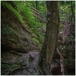
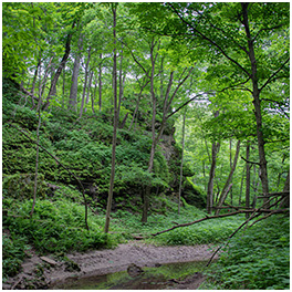
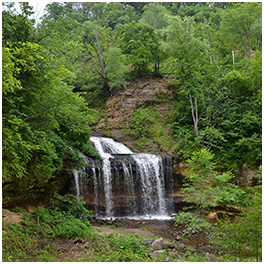
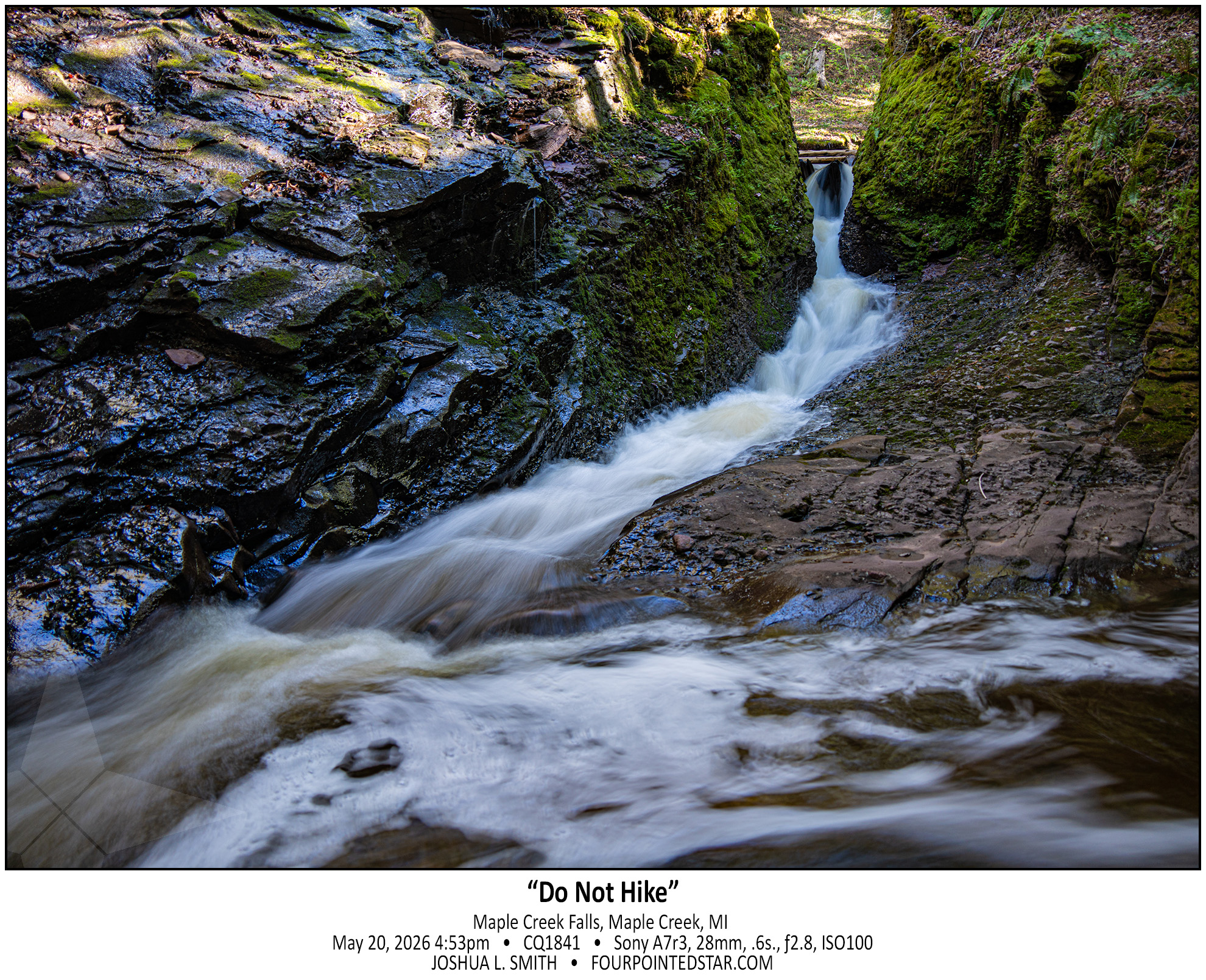
See, the problem with guidebooks is that you don’t know how up to date the information is in the years since the book was published. Maple Creek Falls DEFINITELY needs an update in the guide books; the two descriptions that I saw both describe driving up to the bridge over Maple Creek. That trail (road is way too generous) is gated off about 1.5 miles and the trail is a dead end right after the bridge.

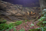
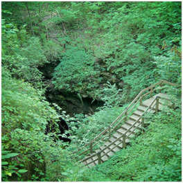
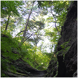
So I walked in; the sign only said “no ATVs”. Once you get to the bridge, that’s when it gets fun. There is only muddy walls and rock faces; I suppose that you could use a rope to gain access to the stream, but I have to imagine that one land-of-questionable-ownership, repelling into a creek is also questionable.

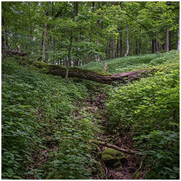
So I crawled/walked/slid down what appeared to be a path; looks can be deceiving. The path gave way about 10 feet above the bottom, and I mostly slid the rest of the way down. The guide books said “you can hike along the creek bed”, but it’s not quite a safe walk either. And with no one with me and not a shred of cell phone coverage either… it was far too risky. So up the sliding pathway I needed to traverse; about 35 feet up a 60 or 70 degree slope in mud on slate rocks with barely a root to hold onto.

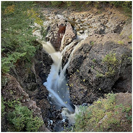
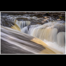
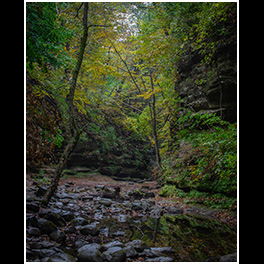
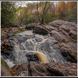
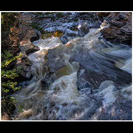
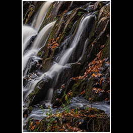
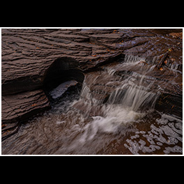
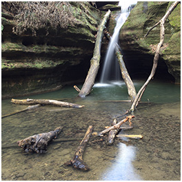
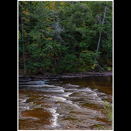
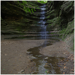
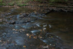
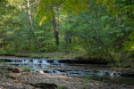
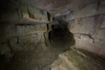
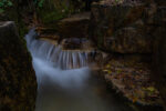
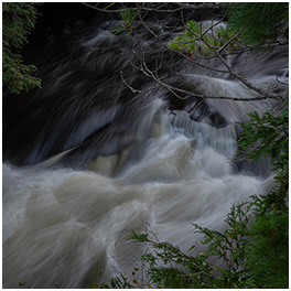
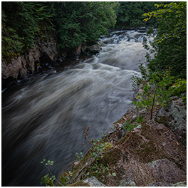
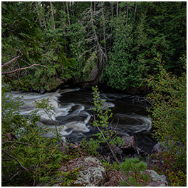
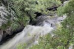
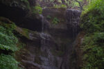
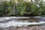
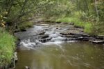
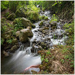
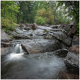
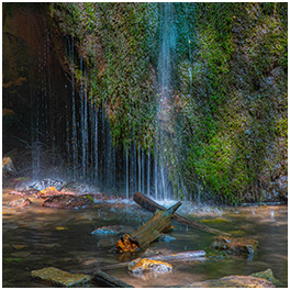
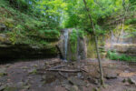
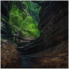
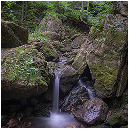
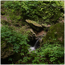
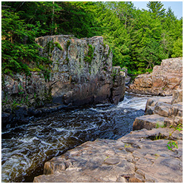
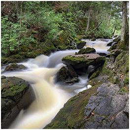
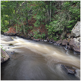
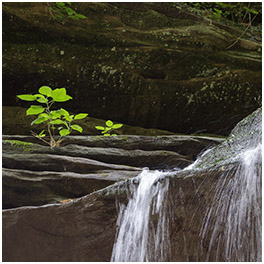
I made it back up, and I definitely want to go back … there’s supposedly six to eight more falls. And don’t let the photo deceive you; that slot canyon that the water is using as a creek bed is about 2 feet wide, super steep, and maybe 30 feet long with a 15 foot rise. It is not for beginners, which is why I need to go back.
 

(go read O Kun de Kun Falls…)
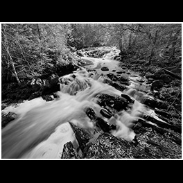
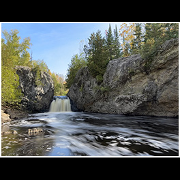
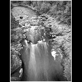
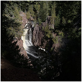
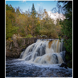
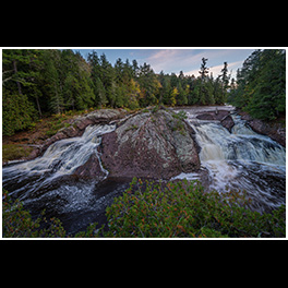
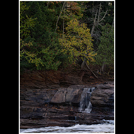
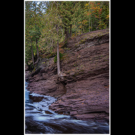
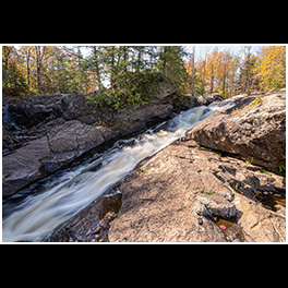
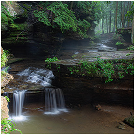
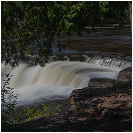
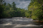
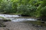
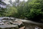
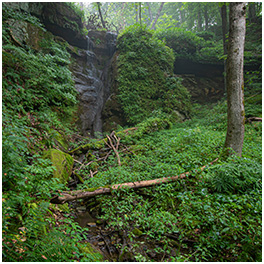
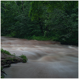
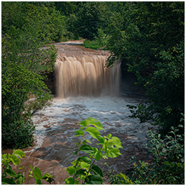
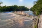
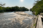
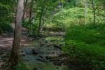
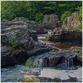
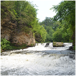
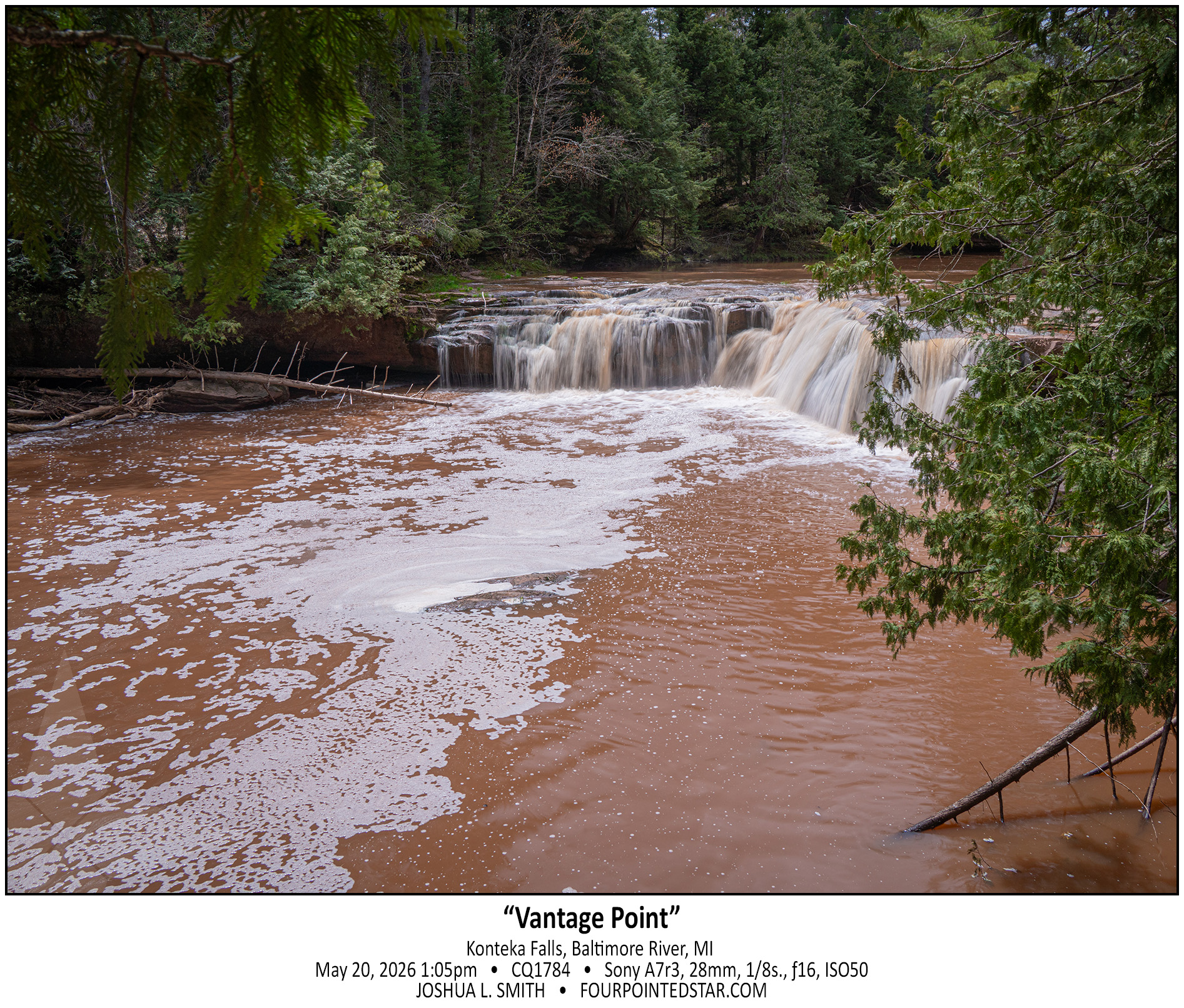
But Konteka Falls has no great vantage point, no easy lookout, and there’s not even a spot to see the entire falls from anywhere downstream. On the west side, the trail side, there’s an eight or ten foot drop-off from footpath to the river. Perhaps you could get a drone in there, or there’s a spot on the path downstream that you could enter and walk upstream, but overall, there’s only 1 vantage point to see the falls.

And I think that makes the falls even more fun…


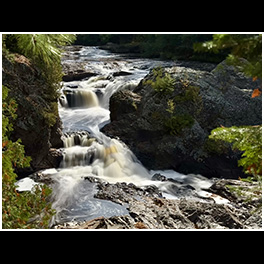
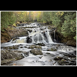
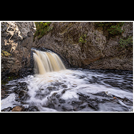
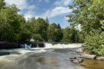
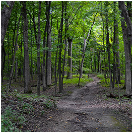
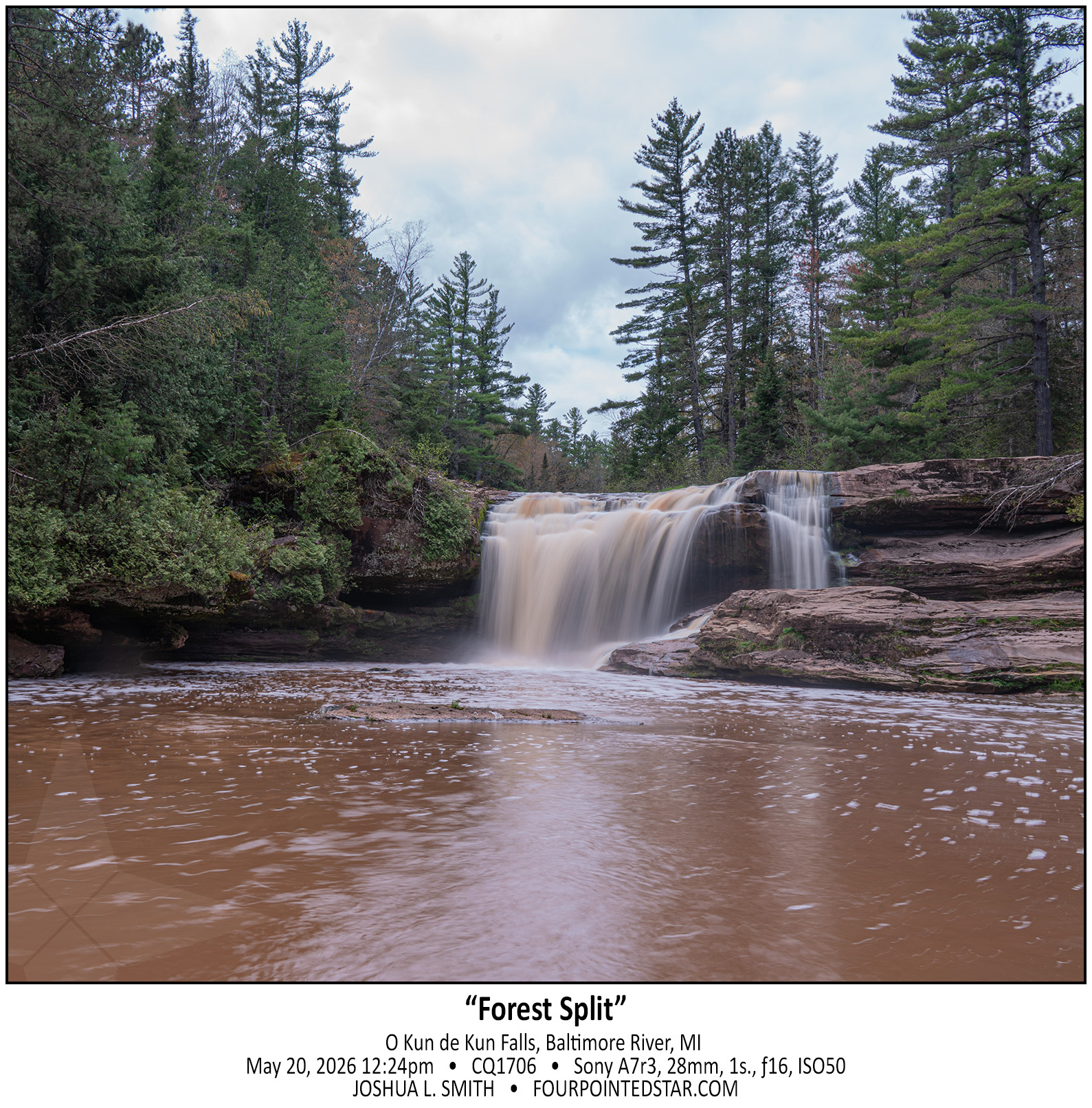
O Kun de Kun Falls is the obvious star of the hike, a narrow 1.3 mile path through dense forest. But right before you get to the falls, you encounter a fork in the trail to Konteka Falls. O Kun de Kun Falls has relatively easy paths to see the falls from various angles, and it even has a foot bridge over the river just downstream. It’s honestly a very pretty waterfall…


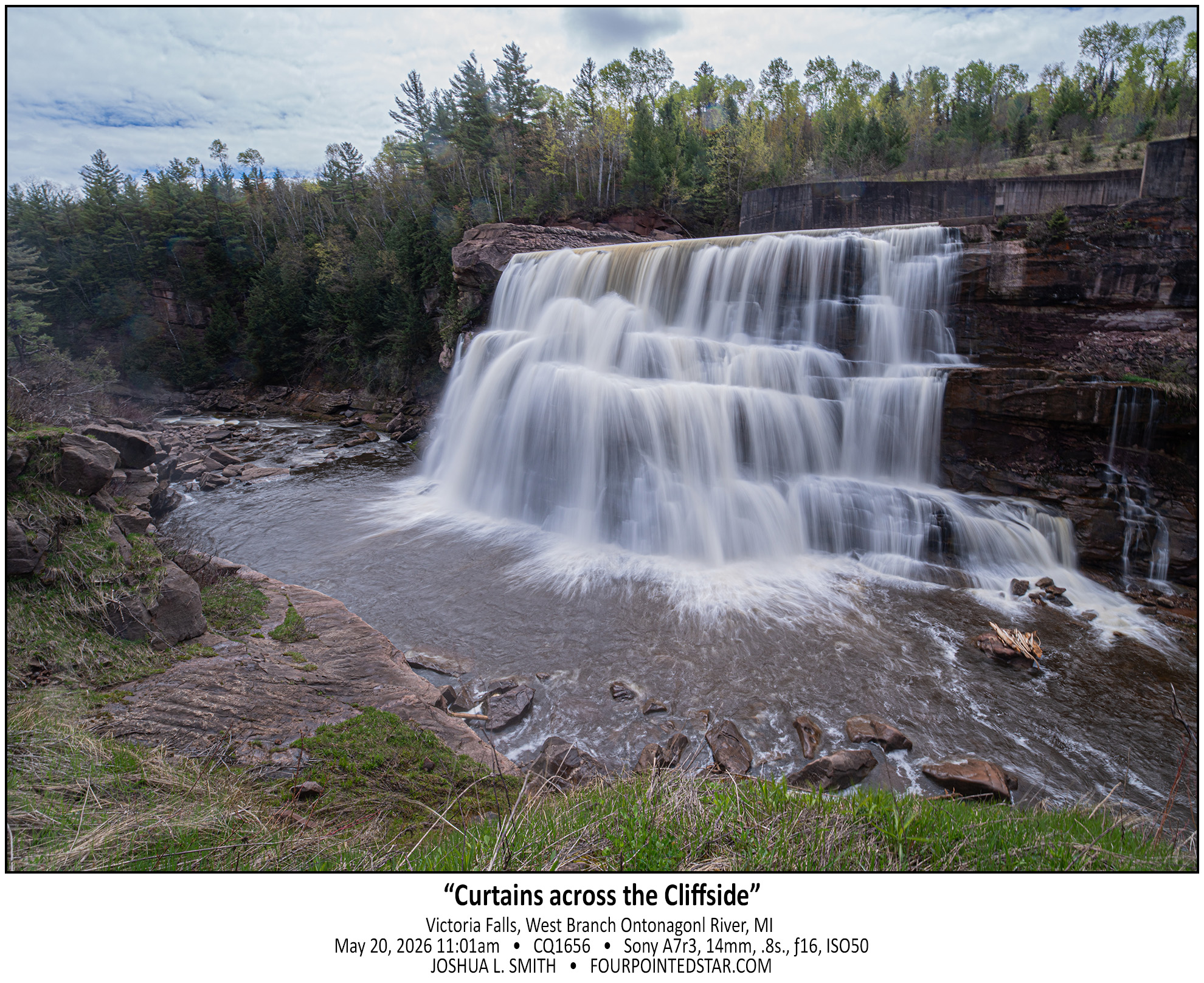
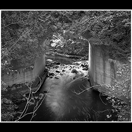
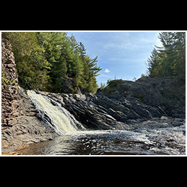
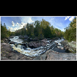
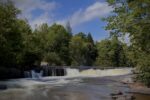
Victoria Falls is DEFINITELY a waterfall, but also definitely artificial. If you look at a satellite view, you can see the concrete base to the spillway that leads to the falls, and if you look at my photo you can see the concrete wall for the spillway. Also quite a few people online have mentioned that Victoria is often dry; obviously not when we visited!


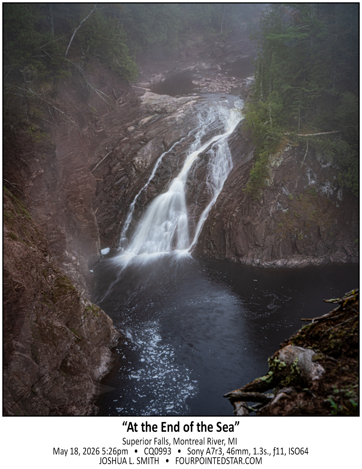
As we approached the Lake Superior coast, a dense fog set in. When we parked near Superior Falls, the fog hung heavy over the falls; from our vantage point, the view was uncomfortable … it felt like we were 90 feet in the air standing on the edge of a precipice as the fog undulated covering and revealing the river and falls.


Have you ever started a project and realized halfway through that … maybe this wasn’t a great idea … but inside you know that you’ll finish it?

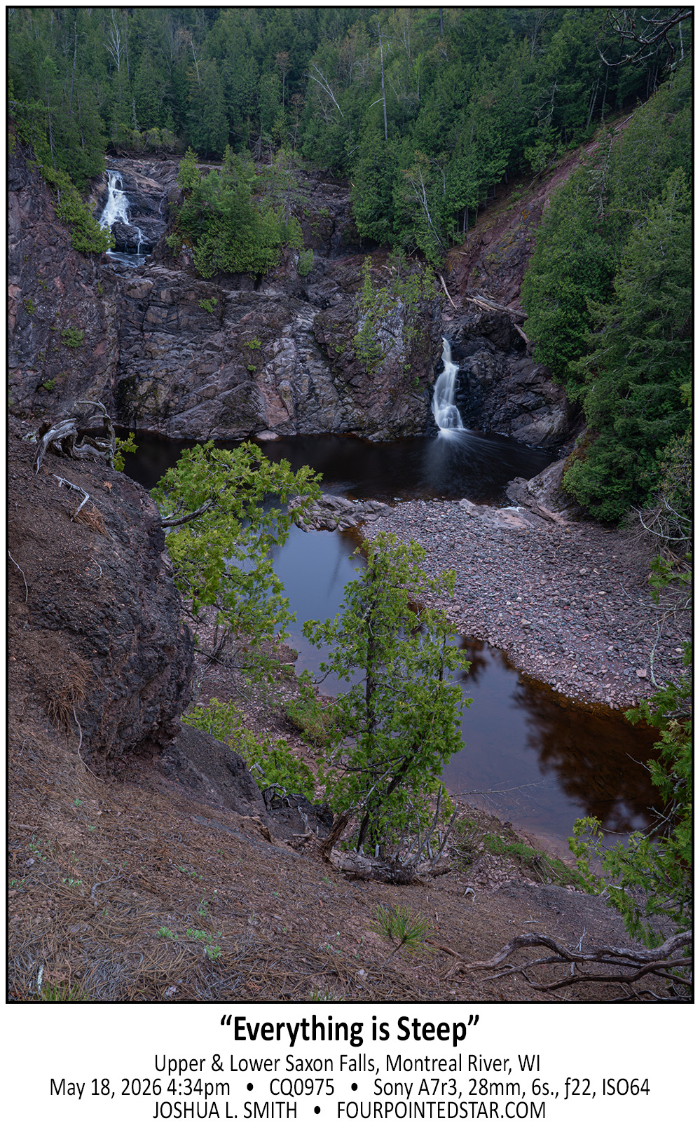
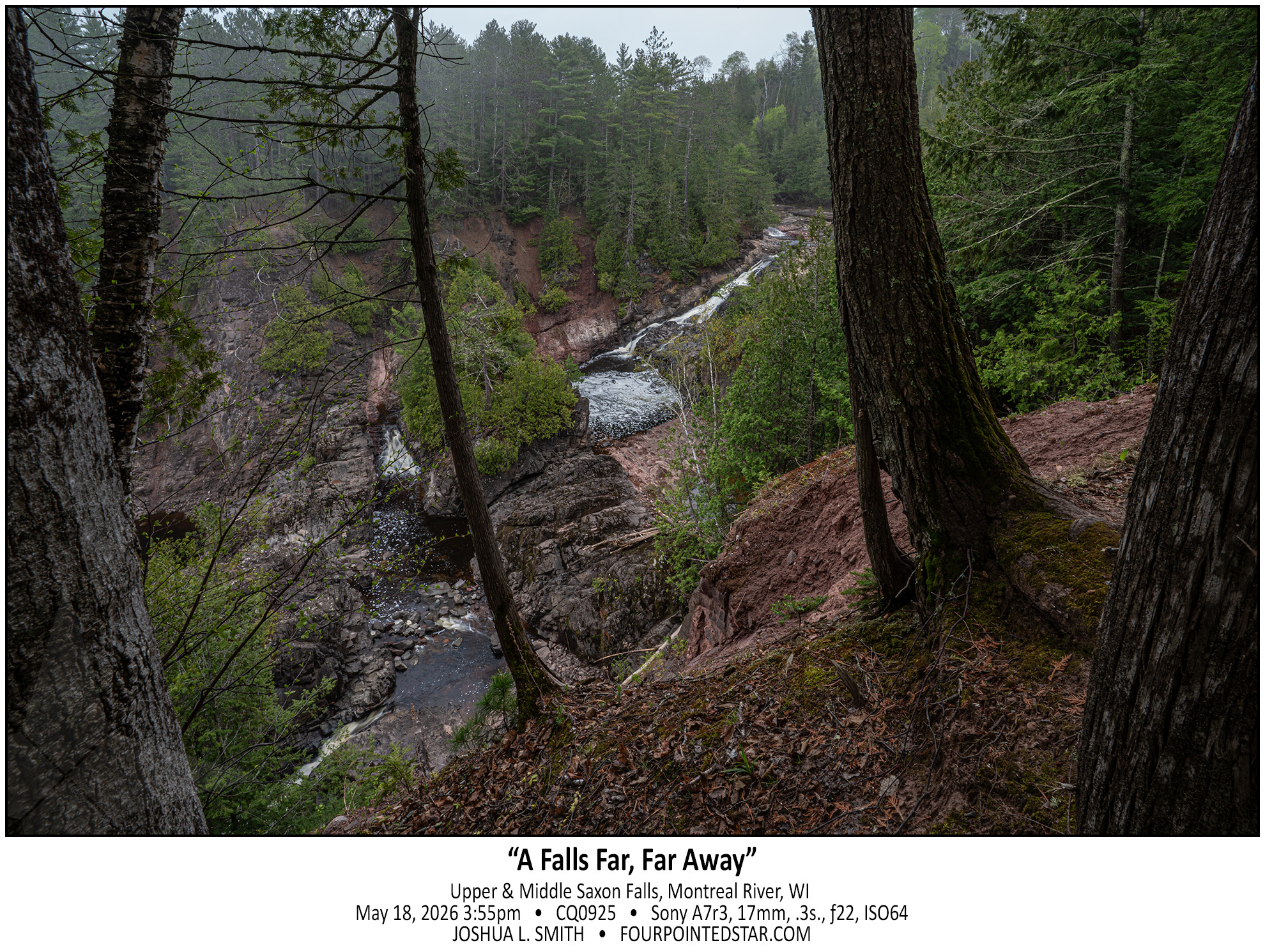
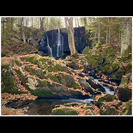
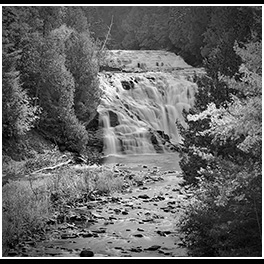
I bought a waterfall book and the directions to the Michigan side of Saxon Falls were outdated; there was now a barbed wire fence along the path indicated by the book. But if you view Saxon falls from the Wisconsin side, you can’t see anything but the top 5 feet of the lower falls (second photo)… so I was determined, and we found a way to get a wonderful view of Lower Saxon Falls.
However, from this alternate location, you can’t see the middle falls which is implied in the first photo by the elevation change between the upper and lower falls.
Anyway, if you choose to hike to see the view of Saxon Falls from the Michigan side, you may end up with a bit more of a scary hike then you’d planned and gather a half dozen ticks in the process.


.

.

.
1325

.

.

.

.

.

.

.

.

.


CB0589 231003 144112

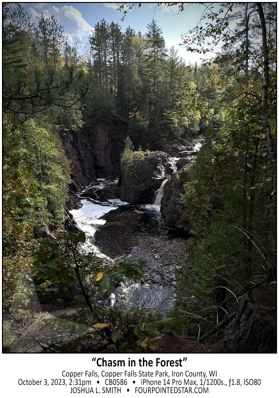
CB0586 231003 143120

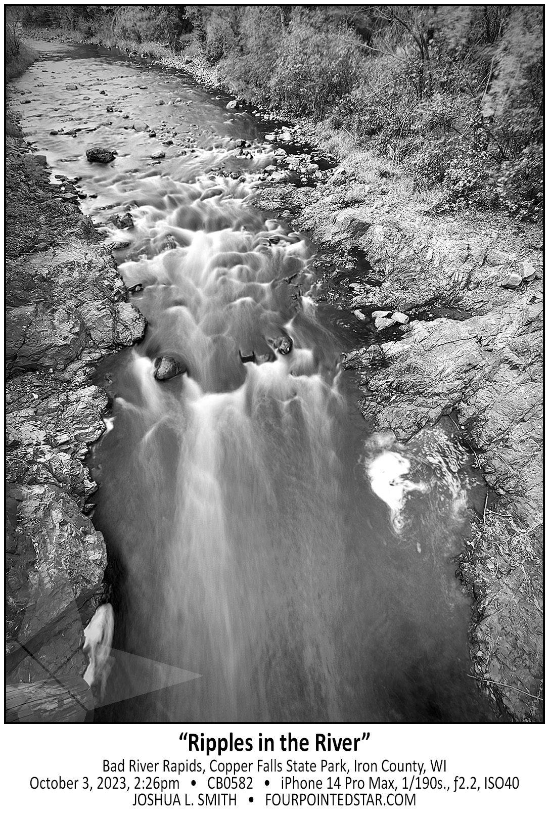
CB0582 231003 142656

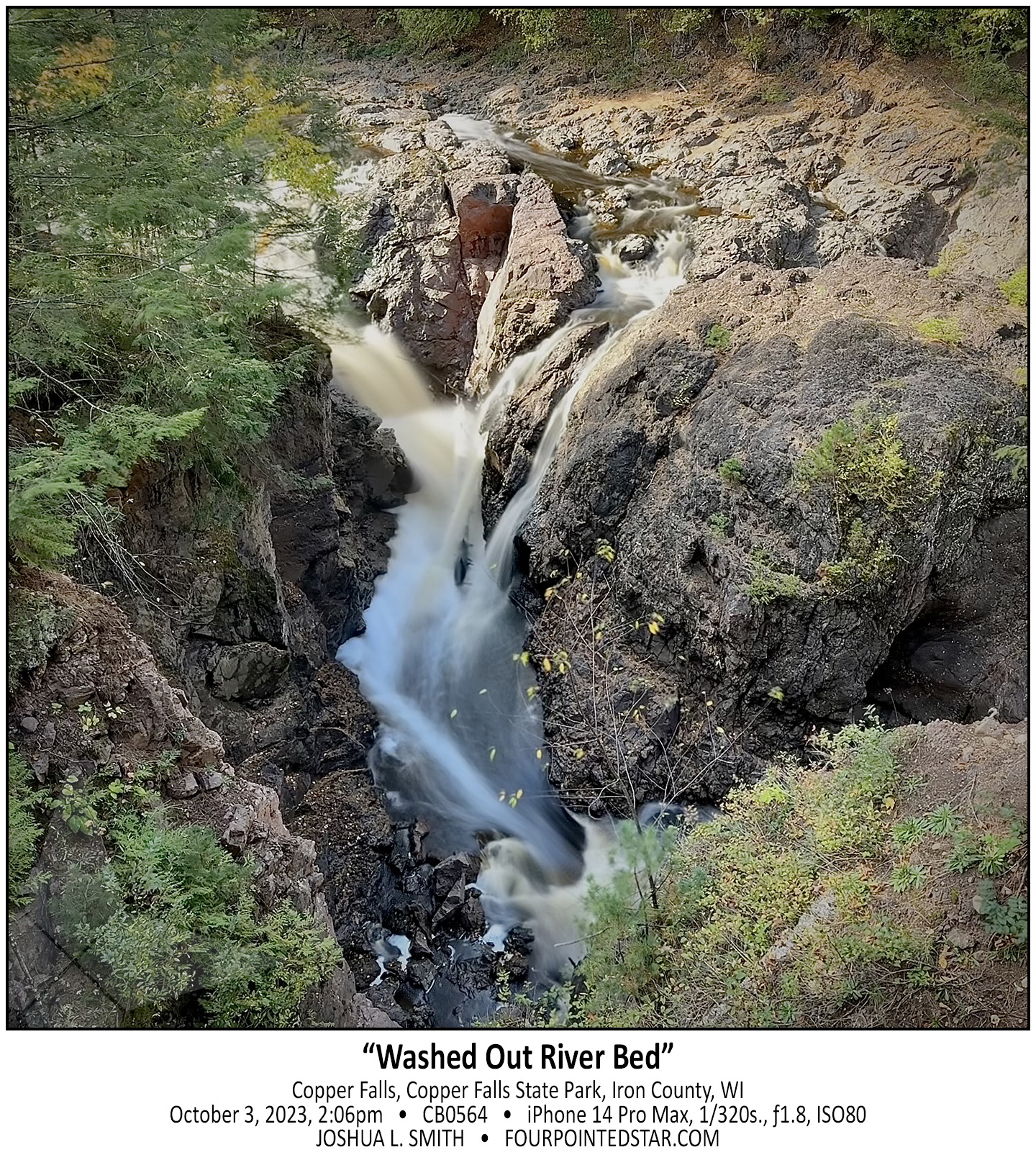
CB0564 231003 140649

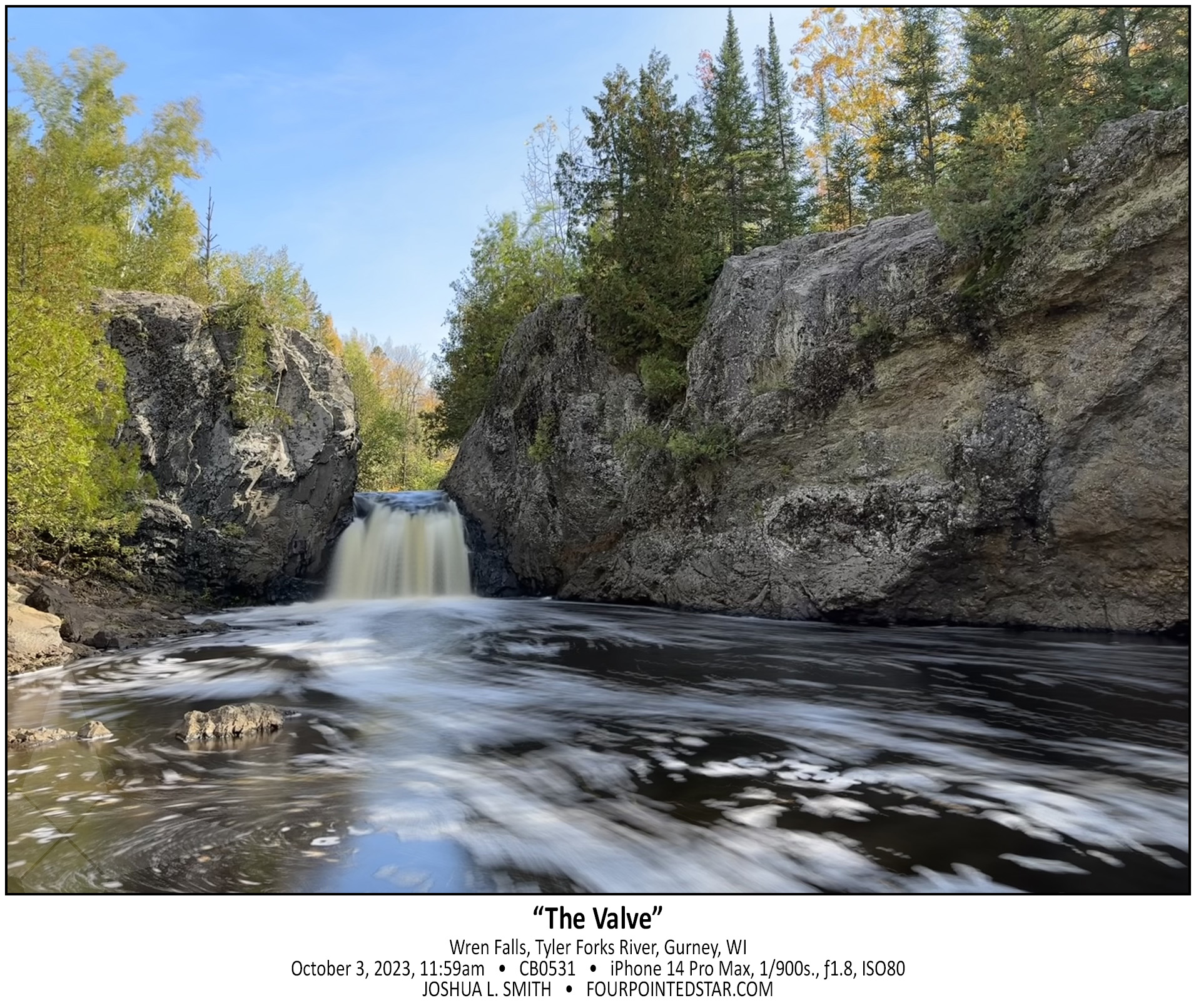
CB0531 231003 115907


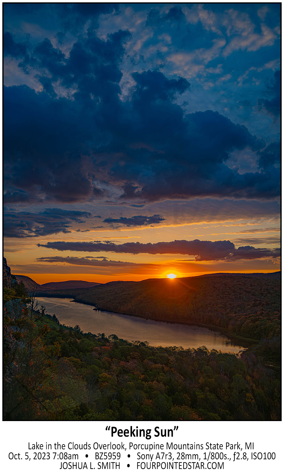
BZ5959 231005 070843

…view older images with the thumbnails below…


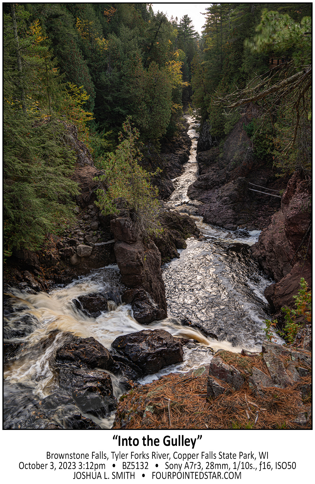
BZ5132 231003 151201

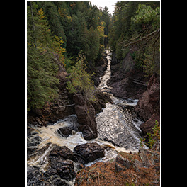
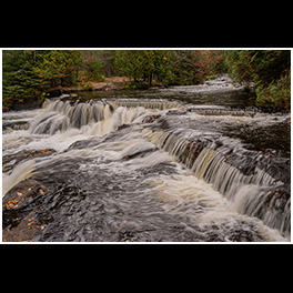
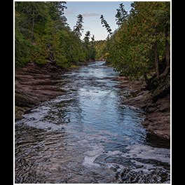
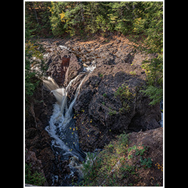
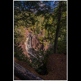
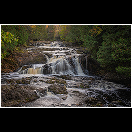
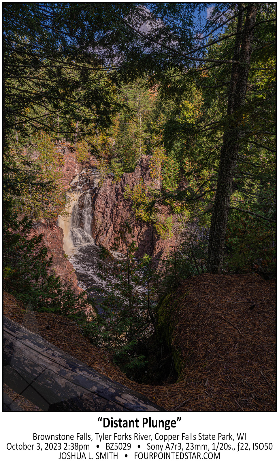
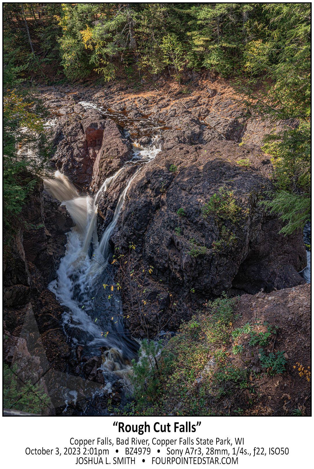
I’m back to those photos from my October waterfalls trip – Copper Falls State Park is absolutely incredible; four waterfalls with so many great trails too! The main entrance to the parking lot is up that river channel, and you’re actually looking upriver in this photo. But what you can’t see is the 10ft falls at the bottom of the image, and the 35ft Brownstone Falls just a little farther onward. It was a very impressive view, and someday I’ll have to go back and take a lot more time to wander.
You can see all of my images from Copper Falls here.

…view older images with the thumbnails below…


AX9165 181005 124433

…view older images with the thumbnails below…


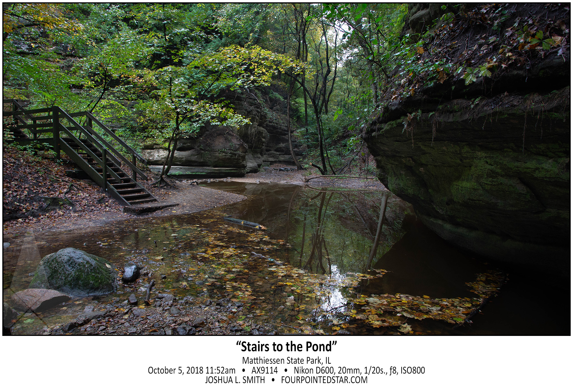
AX9114 181005 115246

…view older images with the thumbnails below…


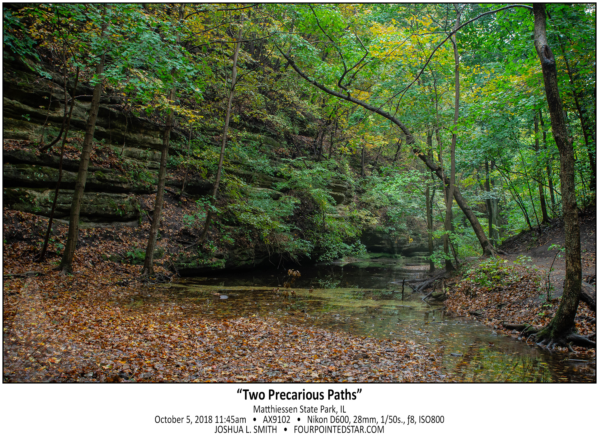
AX9102 181005 114516

…view older images with the thumbnails below…


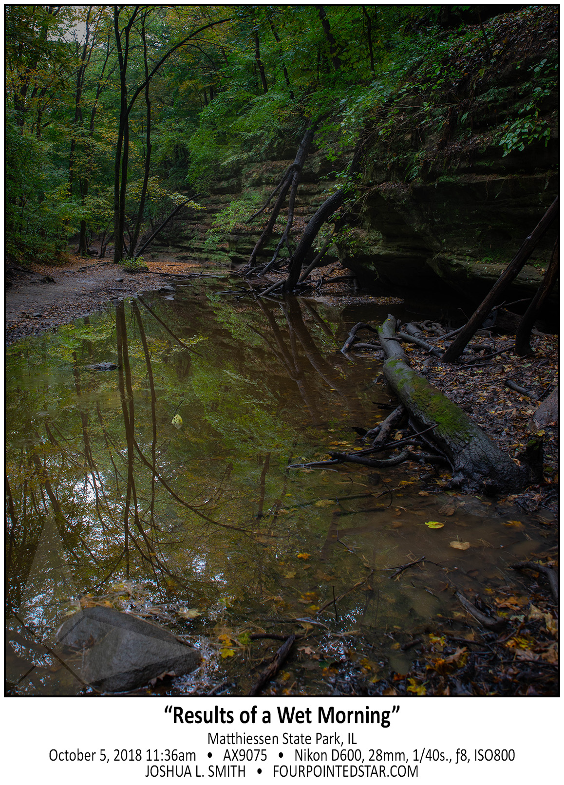
AX9075 181005 113619

…view older images with the thumbnails below…


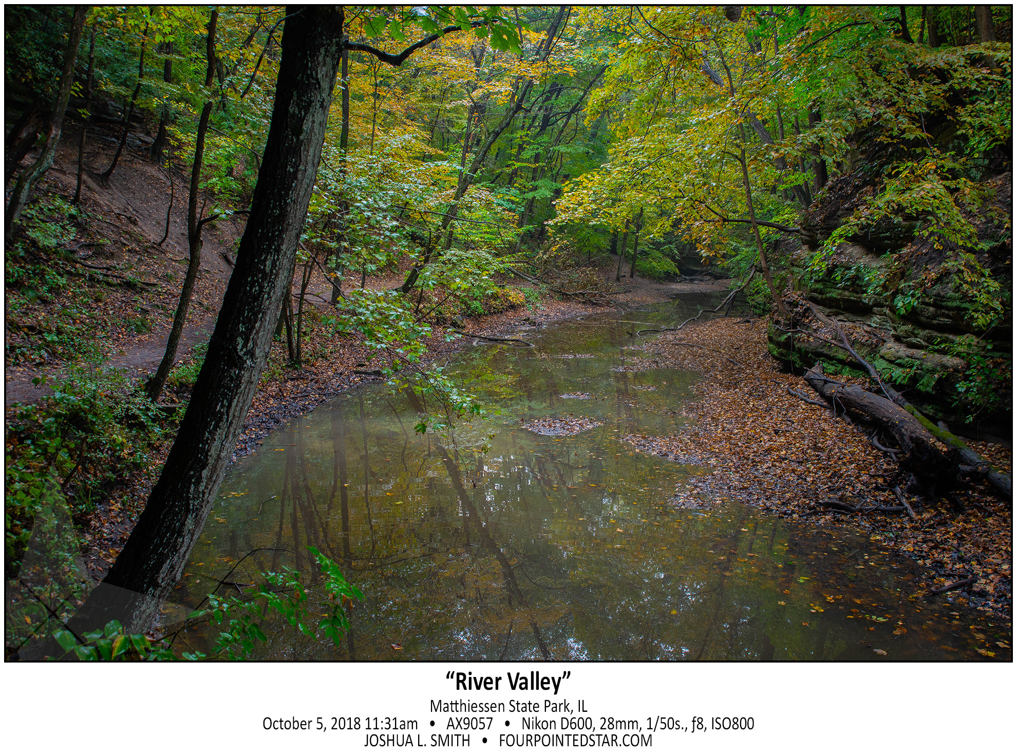
AX9057 181005 113145

…view older images with the thumbnails below…


BZ5971 231005 071108


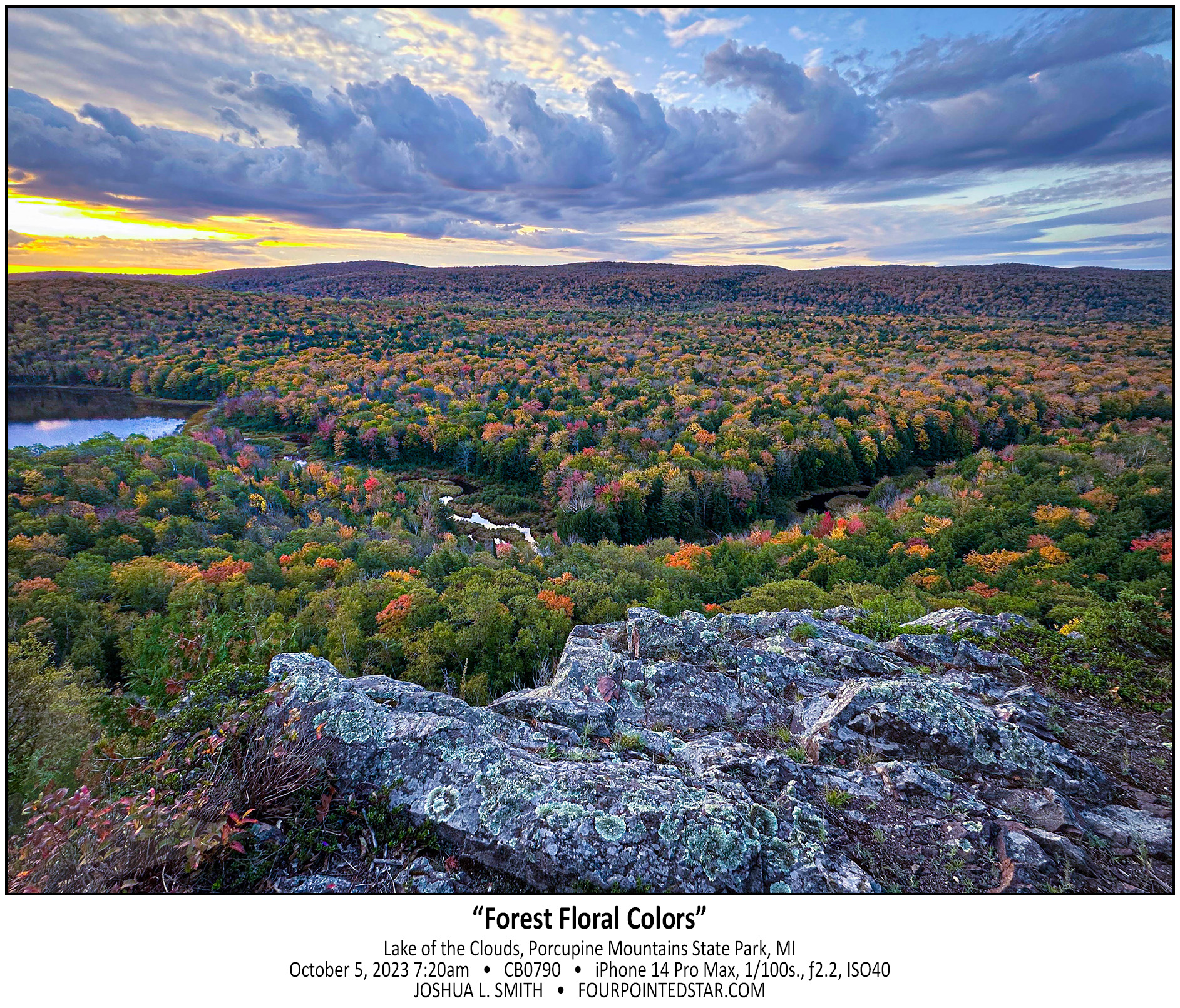
CB0790 231005 072021

…view older images with the thumbnails below…


BZ5029 231003 143858

BZ4979 231003 115204


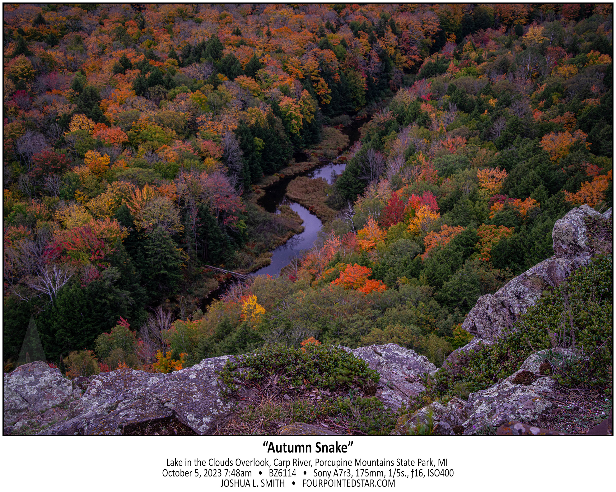
BZ6114 231005 074802

…view older images with the thumbnails below…


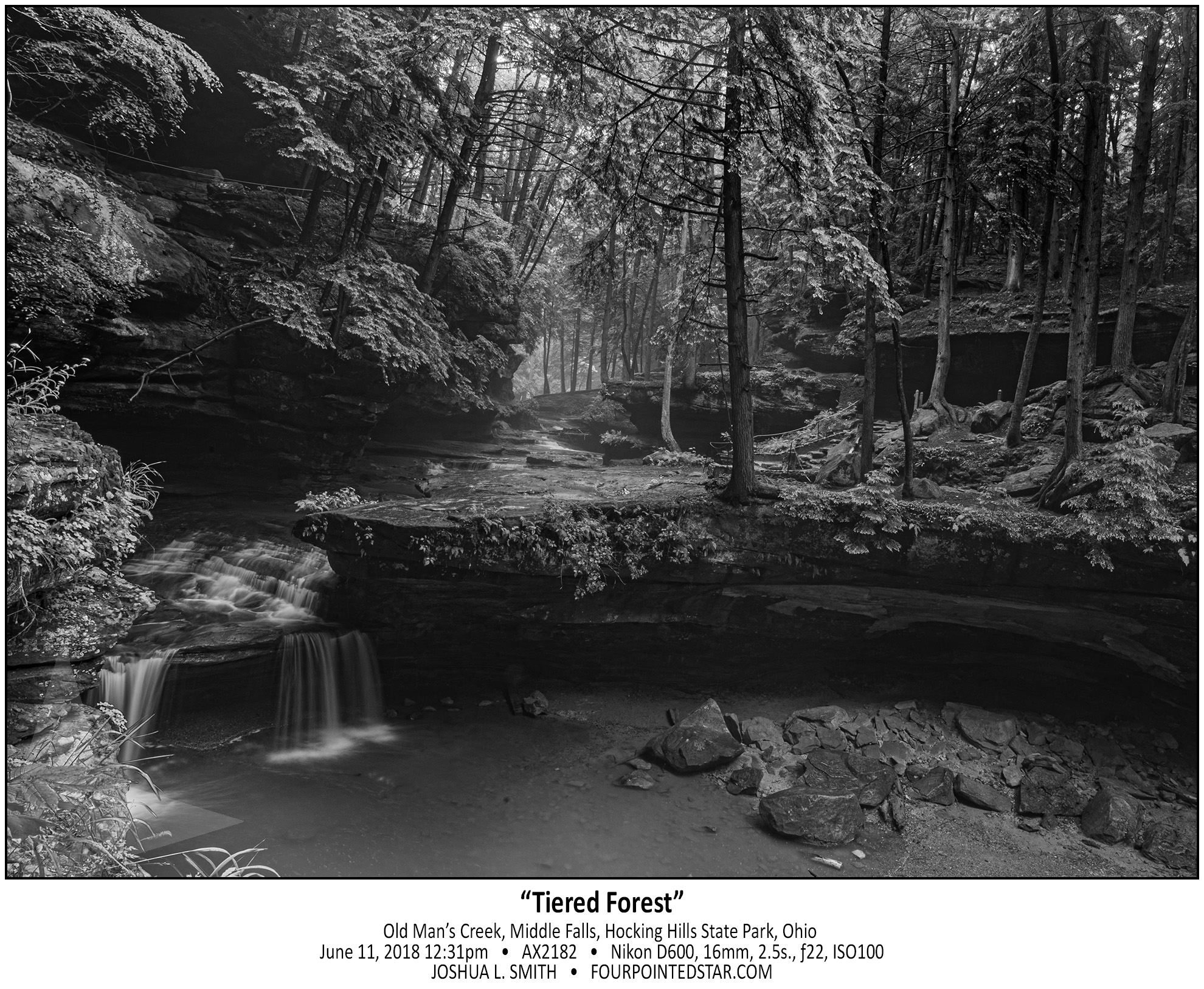
AX2182 180611 122150

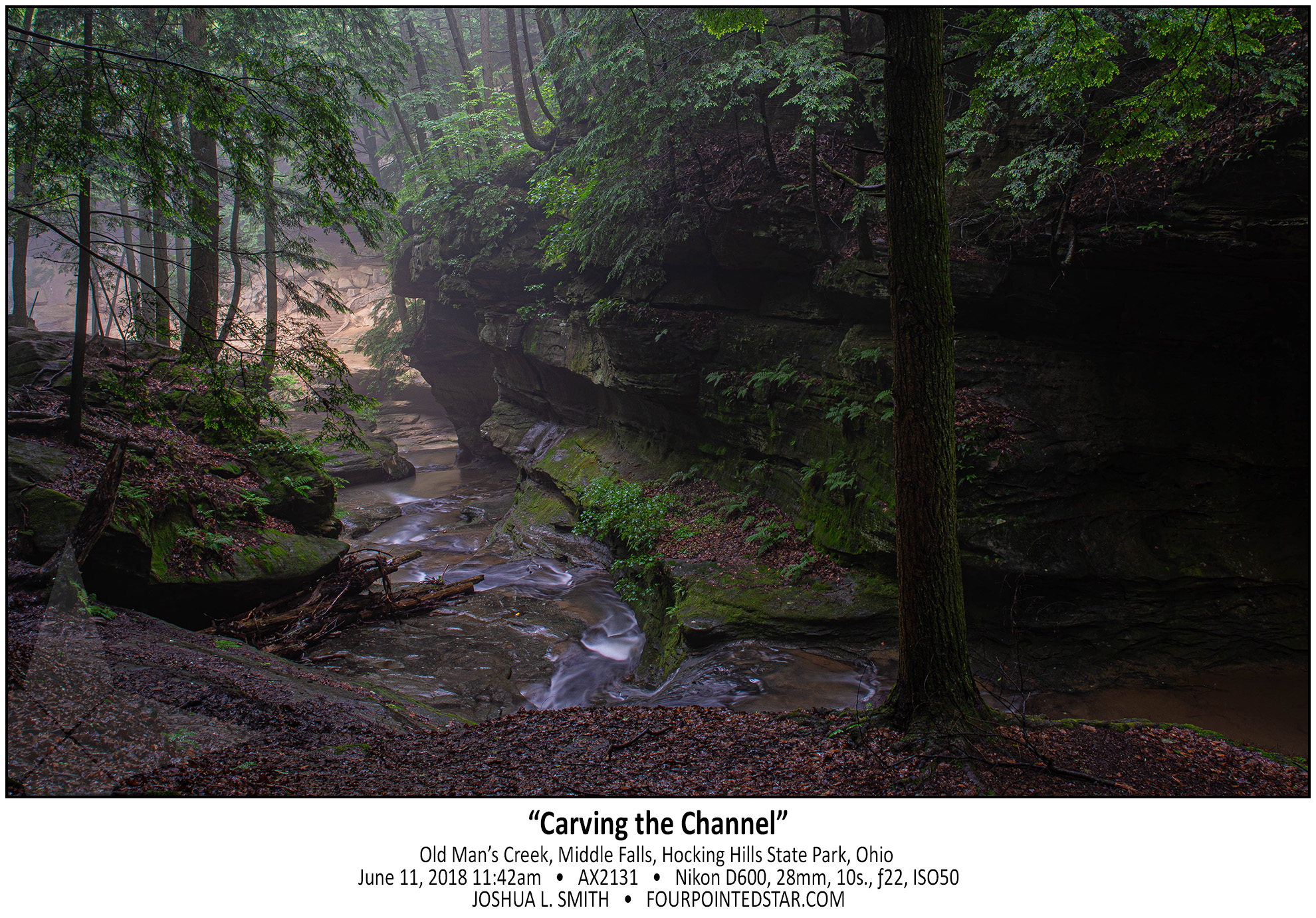
AX2131 180611 114203

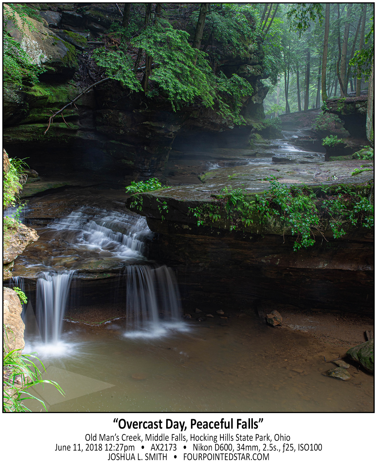
AX2173 180611 122721

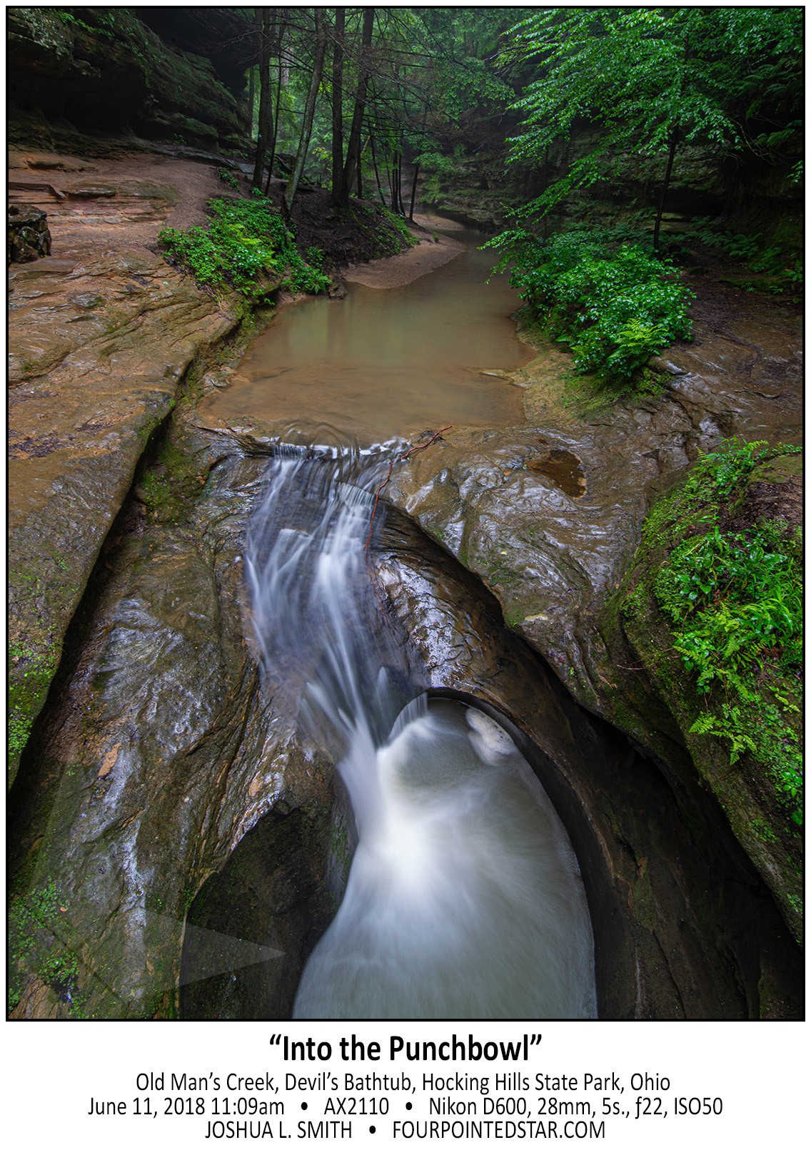
AX2110 180611 110907

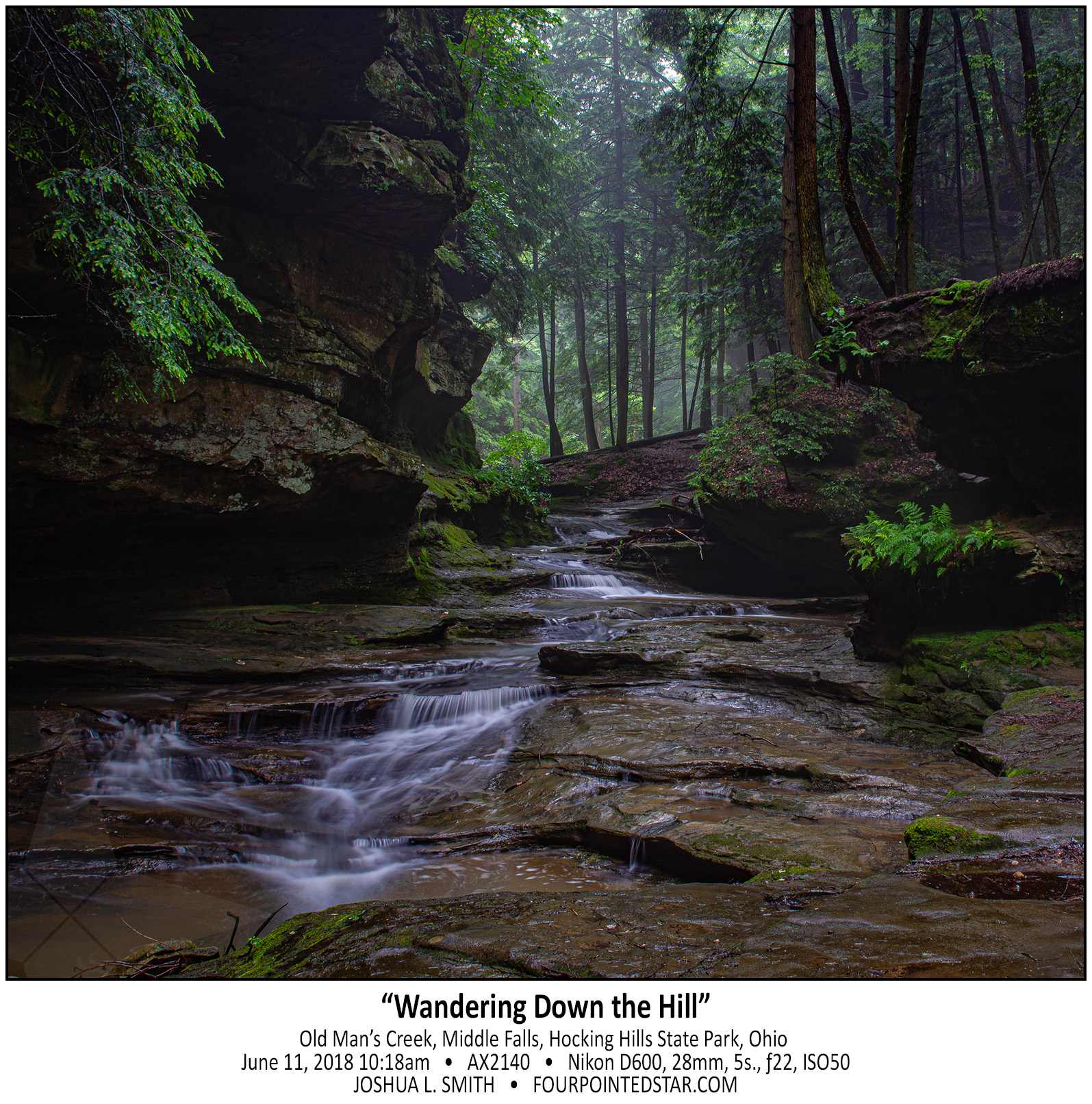
AX2140 180611 115325

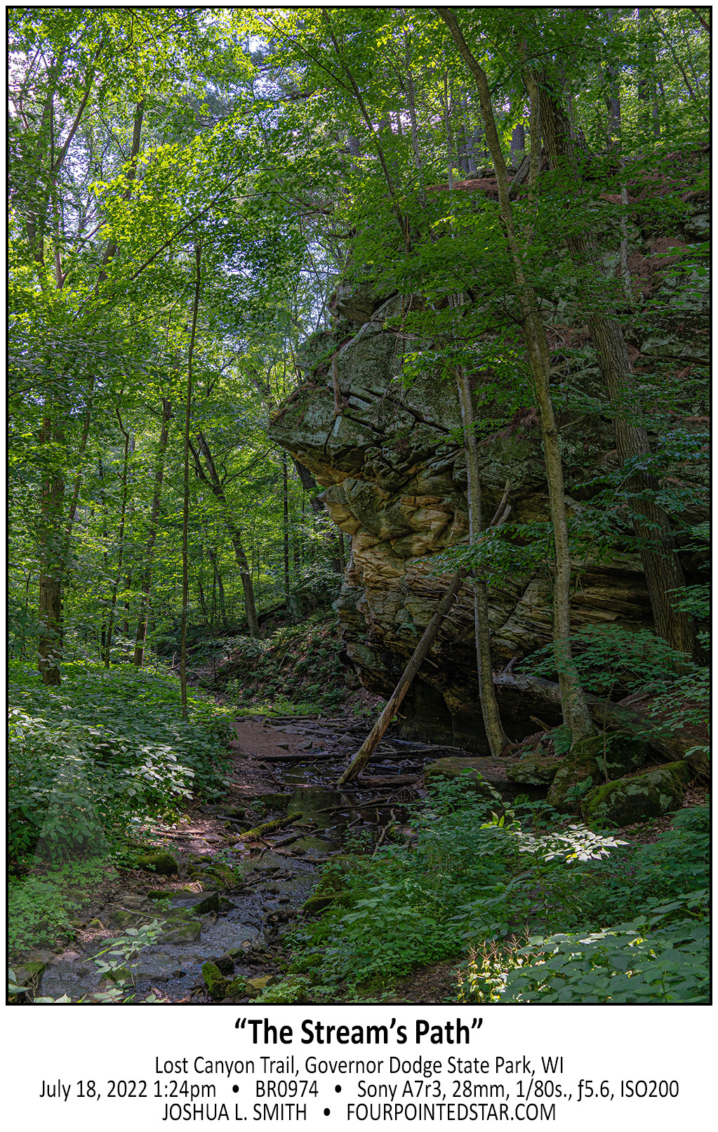
BR0974 220718 132405

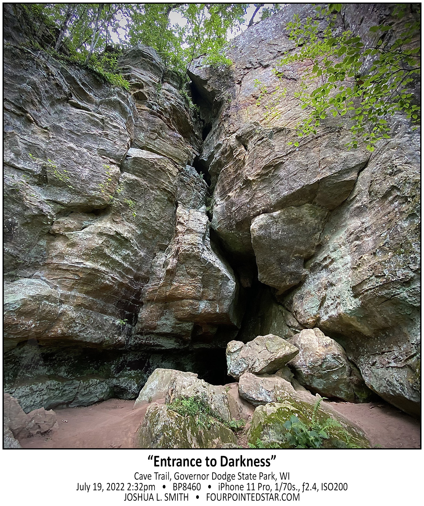
BP8460 220719 143203

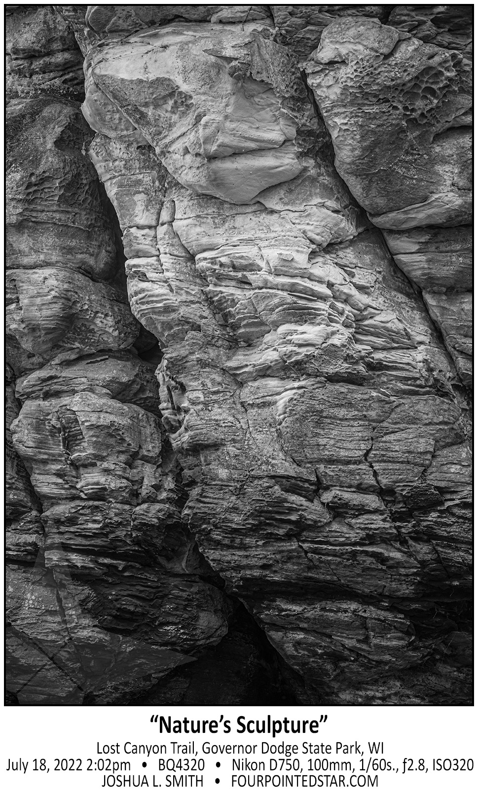
BQ4320 220718 140208


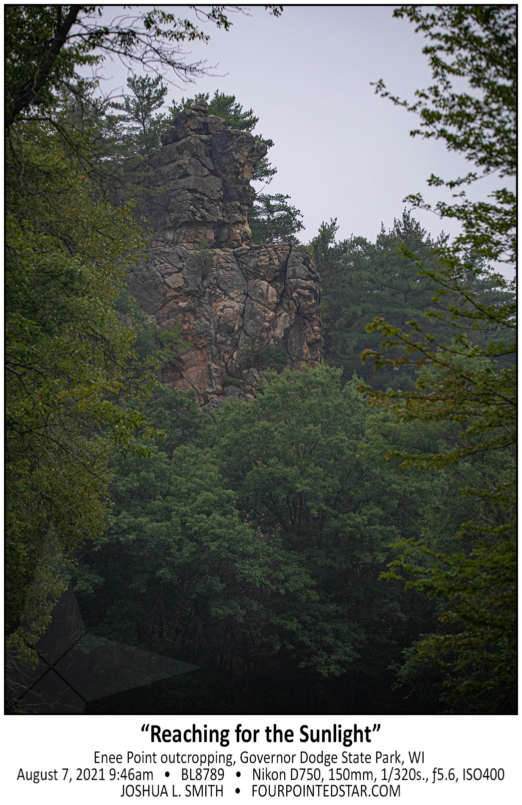
BL8789 210807 094653

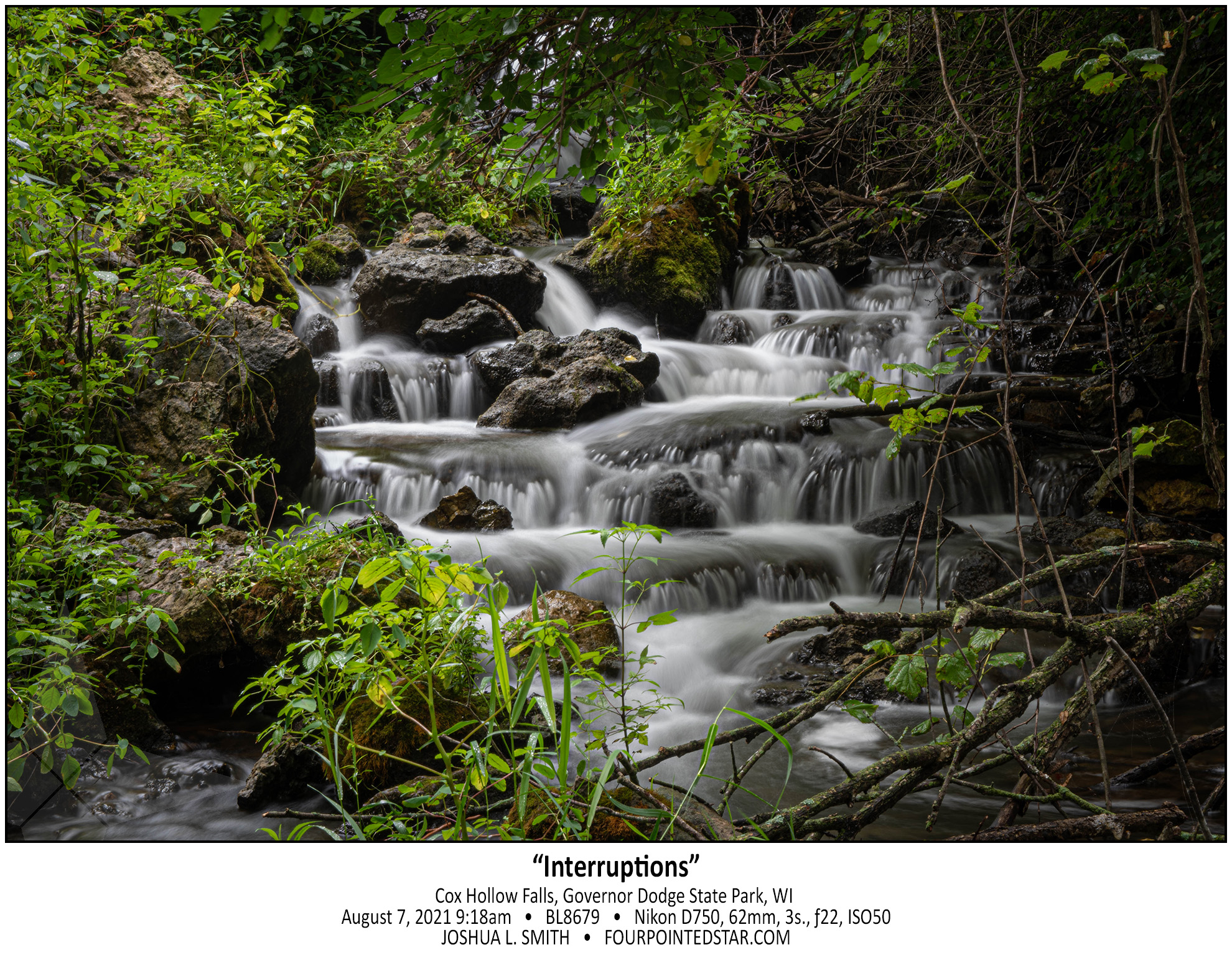
BL8679 210807 091818

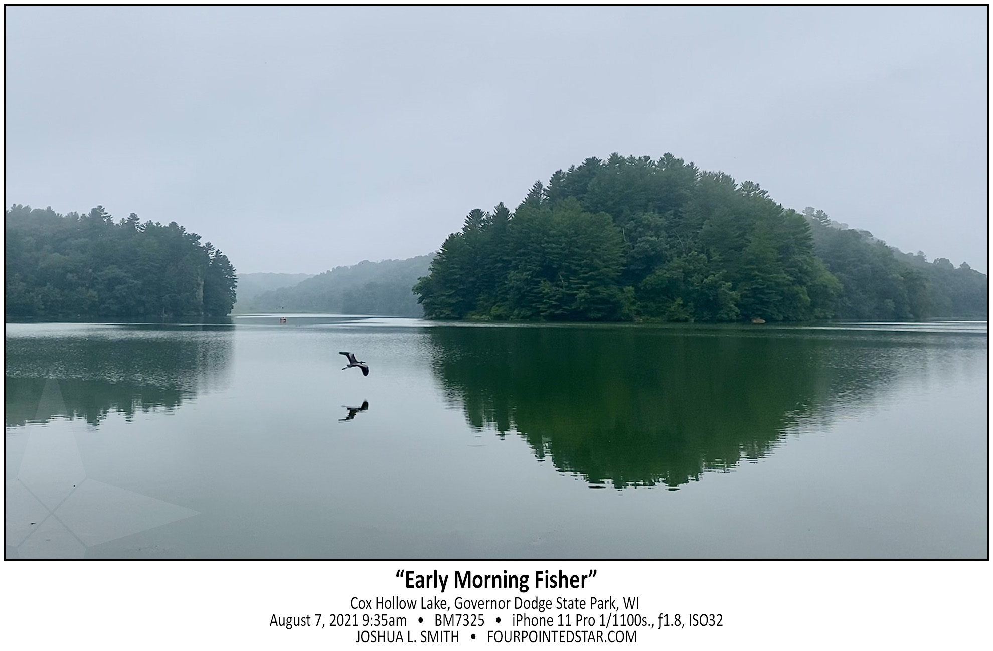
BM7325 210807 213540

August 2021 (remaining images)

August 31st, 2021


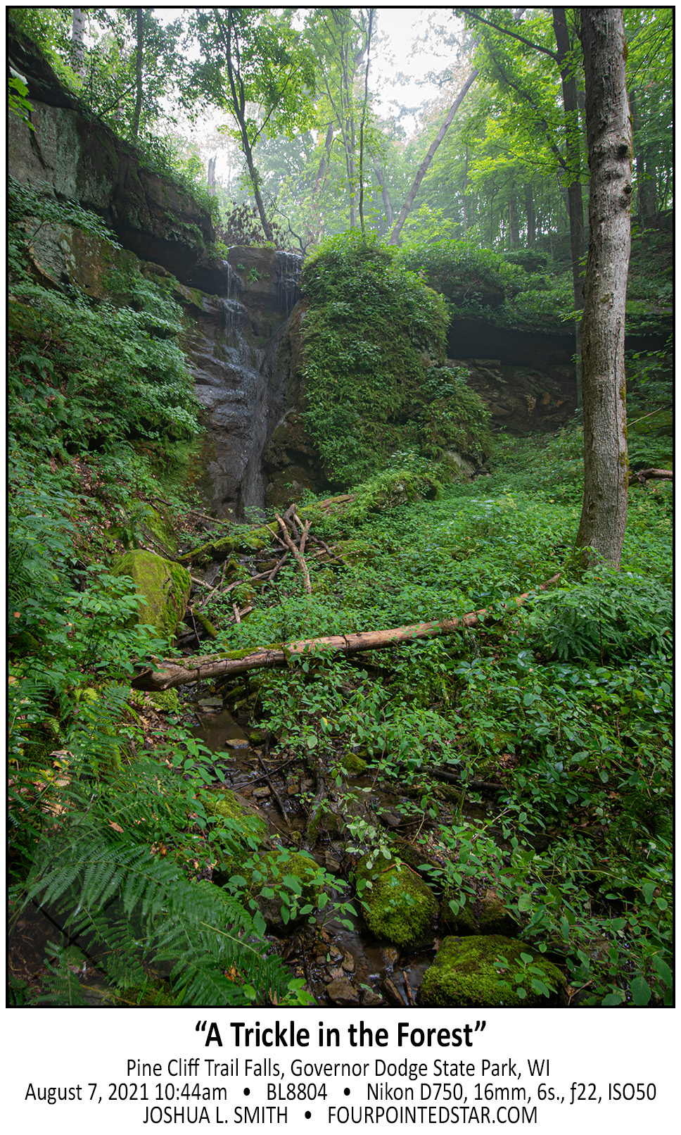
BL8804 210807 104437

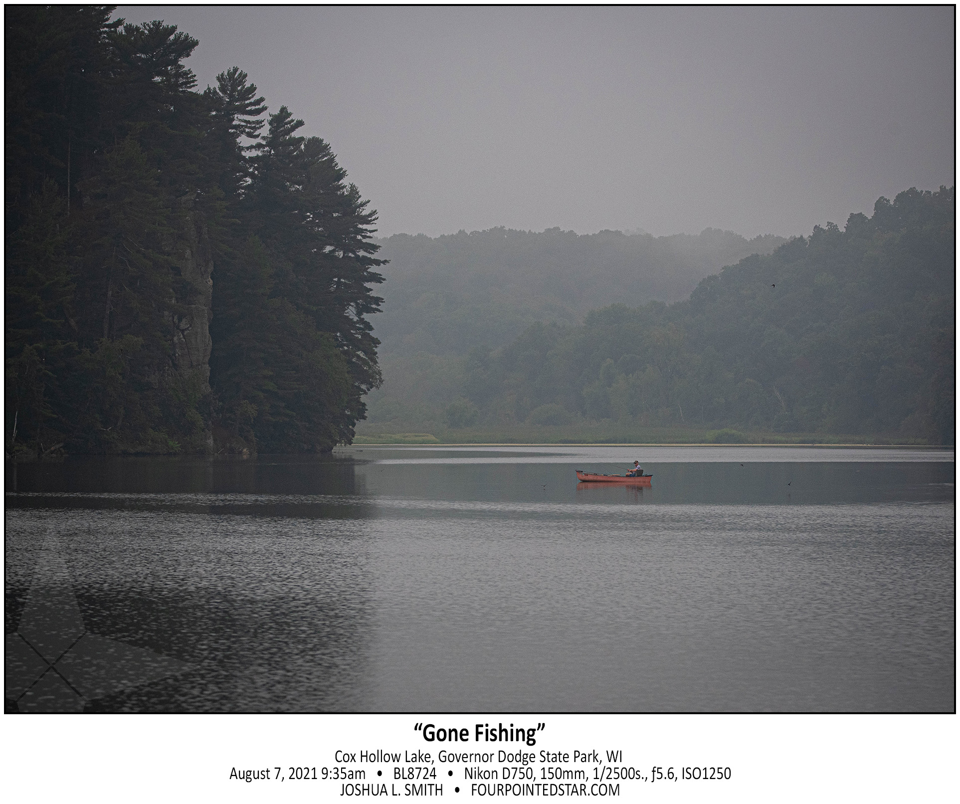
BL8724 210807 093554

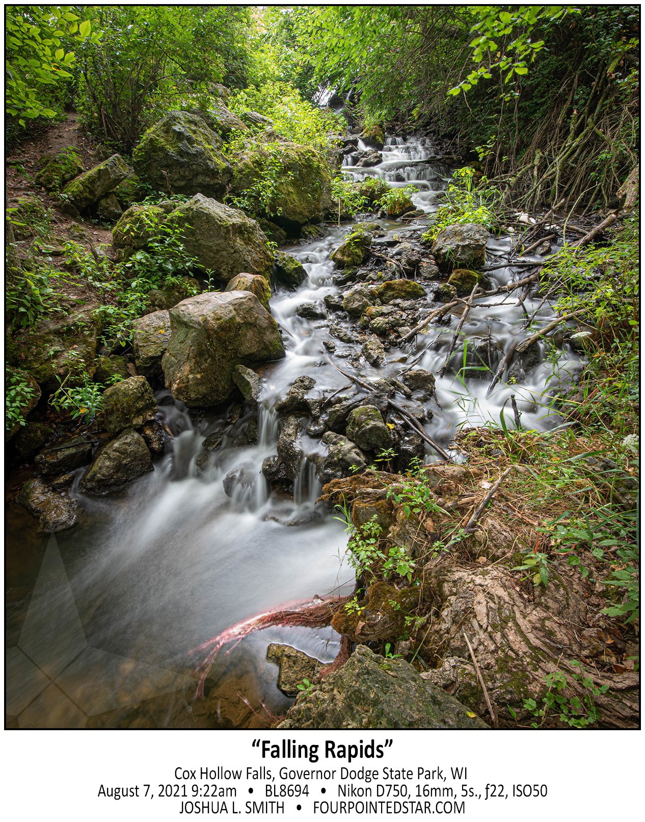
BL8694 210821 092246

July 2021 (remaining images)

July 31st, 2021


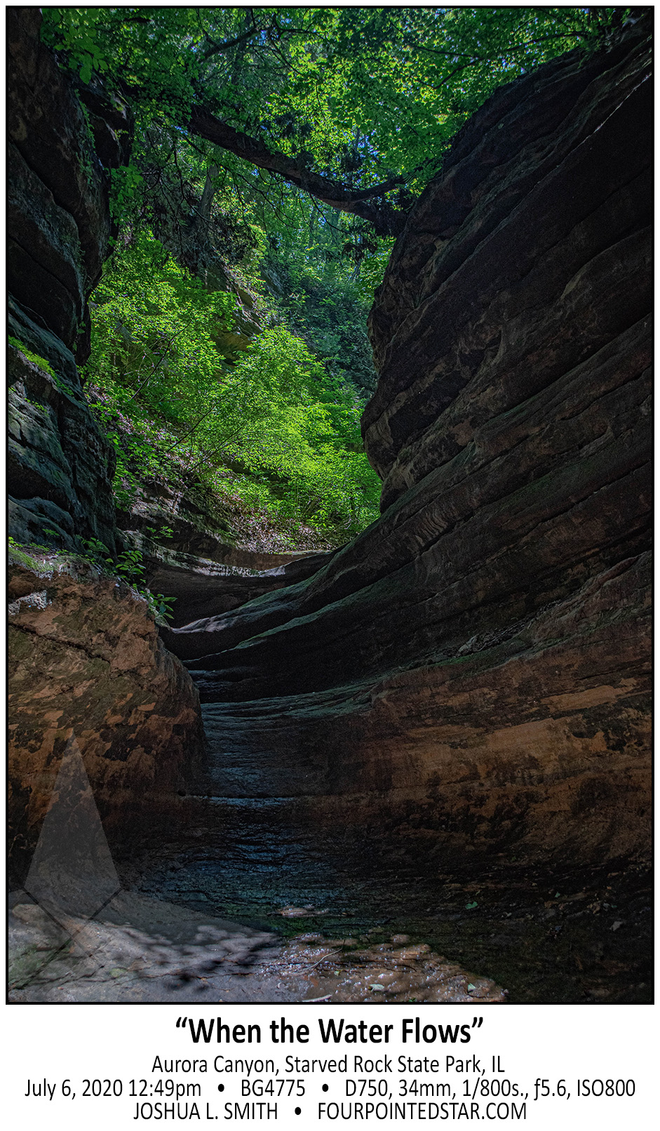
BG4775 200706 124920

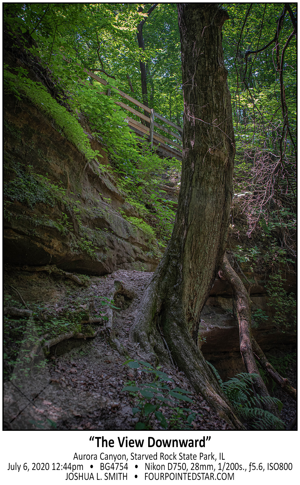
BG4754 200706 124455

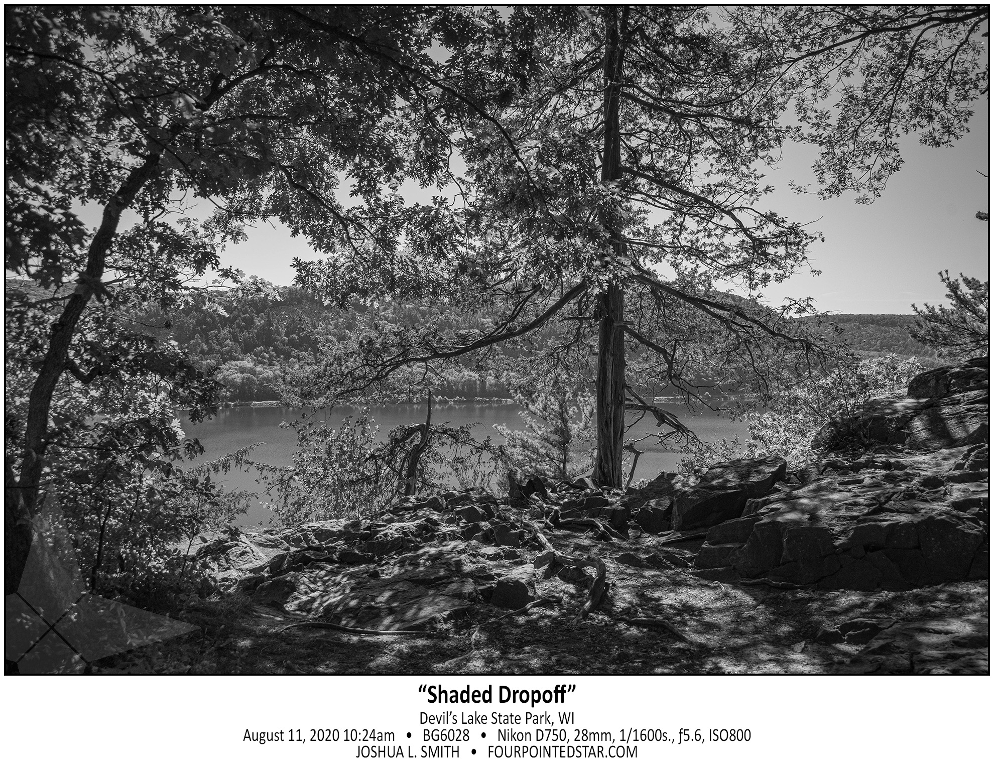
BG6028 200811 102404

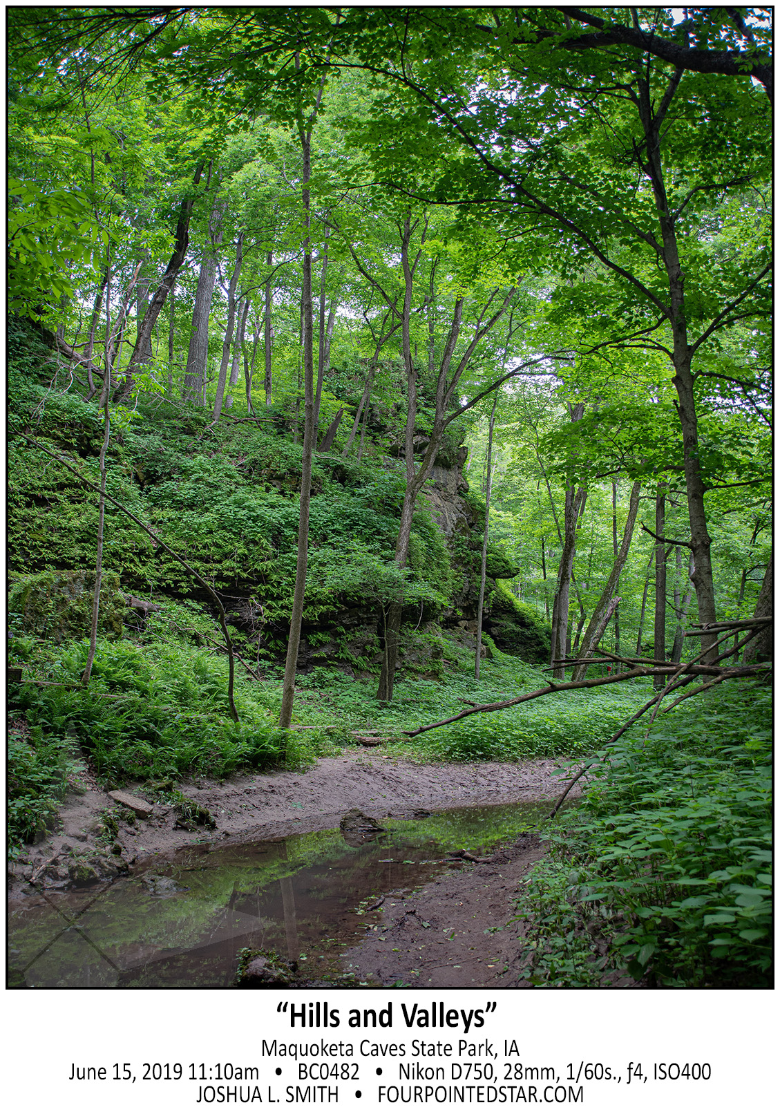
BC0482 190615 111028

AT4685 171028 101018

AG8386 150809 142726

AL0389 160417 122511

AG8347 150809 141103

AG8317 150809 140054